Dumitreasa
Dumitreasa (Rom. Vârful Dumitreasa) is a 1,638 m peak on the ridge of the Gilău – Muntele Mare Mountains (Western Romanian Carpathians) in Cluj County. Below it lies the hamlet of Dumitreasa, and further down, in the Someșul Rece valley, is the tourist area of Măguri-Răcătău. The nearest settlements are Măguri (about 9.1 km as the crow flies), Măguri-Răcătău (about 10 km), and Cerc (about 11 km). The highest peak of these mountains, Muntele Mare, is located about 8.6 km to the southeast.
Getting there / routes
The yellow cross trail "Măguri-Răcătău – Dumitreasa peak – La Potcoavă" passes over the summit. According to muntii-nostri.ro, this is one of two routes connecting Măguri-Răcătău with the Gilău ridge. It starts at the confluence of the Someșul Rece and Negruța valleys, at Gura-Negruței, where there is a signpost with arrows, and across the road, a spring where you can fill your water bottle. The road to the left passes a forester's post, after 15 minutes of easy ascent turns left over a bridge, and after 150 m there is another spring. About 6 km along a forest road leads to the first Dobrin huts, where to the left of the road, across the river, there is also a spring.
Another kilometer of ascent brings you to a junction with signposts: the road to the right leads back to the Negruța huts and Dumitreasa valley, while the trail switchbacks left and in 30 minutes reaches the Dobrin saddle. Here ends the red triangle trail coming from Finișel past the Muntele Rece monastery. From the saddle, turn right following the signs on electric poles: past the Dobrin huts, through clearings and spruce groves, and after an ascent – to the summit of Dumitreasa. From the top, the path gently descends along a dirt road to a junction where the blue stripe trail joins; together they reach the Bogdanu huts in 25 minutes, and after another 20 minutes, the Bogdanu forest hut in the Șoimului valley. The entire route is 23.3 km, about 7 hours and 1,345 m elevation gain, of medium difficulty.
A longer loop (38.6 km, medium to difficult) is described on the same site: from Măguri-Răcătău via Dumitreasa hamlet to the summit, then via Cracul Dobrînului peak and Buturii saddle along the ridge on the red triangle, and back via Vidrenii de Sus.
Safety, season and rules
The Gilău Mountains are forested and gentle, but the trails are long and there are many forest road junctions – stick to the markings and have an offline map. The nearest marked on the site to the summit are Hut below Piatra Neagră and Spring below Piatra Neagră (about 3 km). Bears are common in the Romanian Carpathians: do not leave marked trails, make noise, avoid dusk, and do not keep food in your tent; near sheepfolds, shepherd dogs may attack – do not run, stop and shield yourself with your backpack (see Salvamont România advice).
In case of emergency, call the national mountain rescue dispatcher 0SALVAMONT — 0725 826 668 or 112.
Getting there from Ukraine
Border crossings
- Porubne – Siret — road and pedestrian, 24/7
- Diakivtsi – Racovăț — road and pedestrian, 24/7 No freight traffic.
- Krasnoilsk – Vicovu de Sus — road and pedestrian, 08:00–20:00 Cars up to 3.5 t and pedestrians only; not 24/7.
- Solotvyno – Sighetu Marmației — road and pedestrian, 24/7 Passenger traffic only: vehicles up to 3.5 t with up to 9 seats, pedestrians.
- Diakove – Halmeu — road, 24/7 No pedestrian crossing.
By car
Rakhiv – Cluj-Napoca ≈219 km, ≈3 h 44 min (via Solotvyno – Sighetu Marmației); Ivano-Frankivsk – Cluj-Napoca ≈353 km, ≈6 h 04 min (via Solotvyno – Sighetu Marmației); Chernivtsi – Cluj-Napoca ≈343 km, ≈6 h 28 min (via Krasnoilsk – Vicovu de Sus). Times without border queues, our road routing (GraphHopper, OSM).
Checked 03.11.2026; border crossing hours and timetables change — check before you travel.
Comments
Travellers’ experience: reports, tips, questions.
No one has reported on this trail yet. Been here lately? Tell others what it is like now.
Water and shelter nearby
- Spring below Piatra Neagră2.9 km · Not verified · 1 415 m
Trails nearby
All trails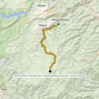 HardOne-dayMarkedMăguri-Răcătău Mount SmideleElevation profile720–1 643 m25.3 kmascent 1 002 m≈ 8 h walkingunder 1 km from Dumitreasa
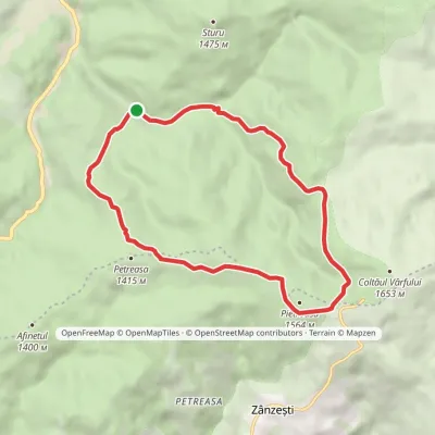 ModerateOne-dayMarkedPetreasa CircuitElevation profile1 084–1 549 m12 kmascent 465 m≈ 4 h walking15 km from Dumitreasa
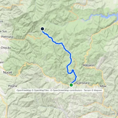 Hard1–2 daysMarkedGârda de Sus Vărășoaia SaddleElevation profile727–1 436 m31.8 kmascent 1 186 m≈ 10 h walking26 km from Dumitreasa
Nearby attractions
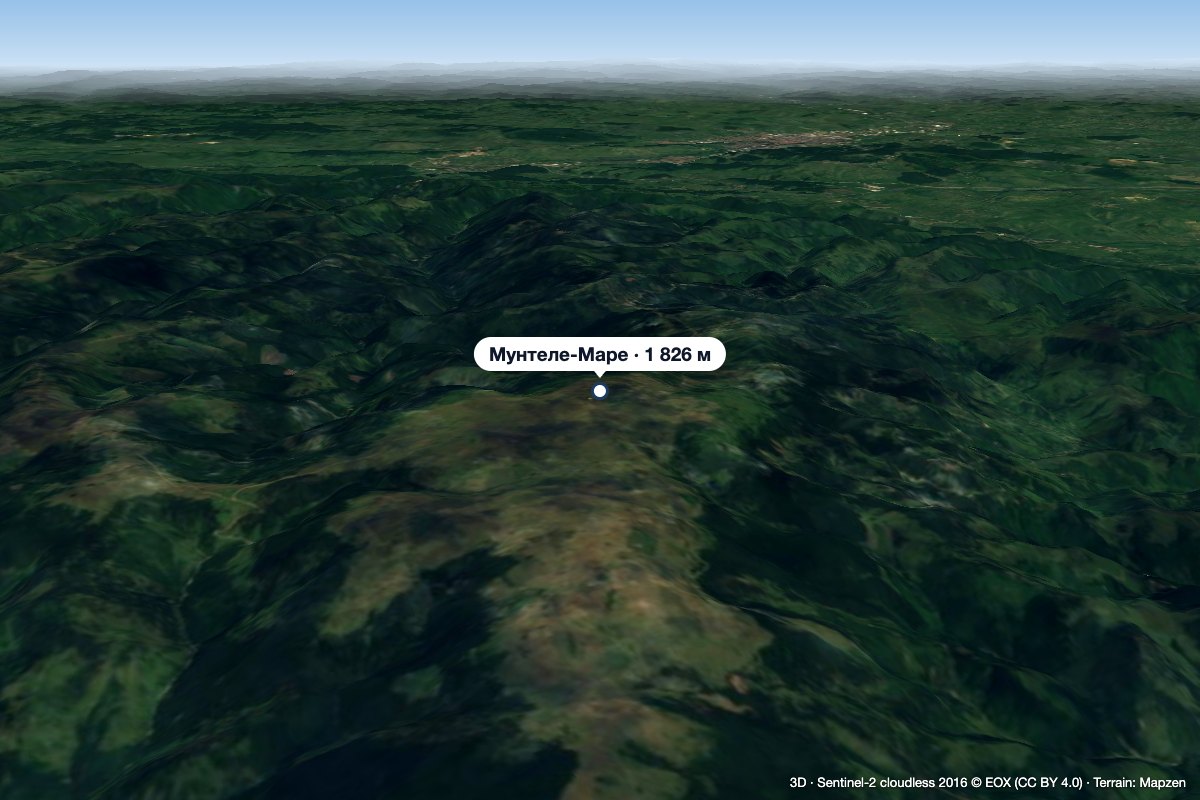 PeakMuntele MareSăgageaaltitude 1 826 m8.6 km from DumitreasaMuntele Mare (Romanian Vârful Muntele Mare, Hungarian Öreghavas) is a 1,826 m summit in the eastern part of the Apuseni Mountains (Western Romanian Carpathians).
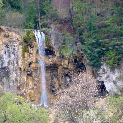 WaterfallPișoaia Waterfall (Cascada Pișoaia)Nemeși · Bihor-Vlădeasa Mountains31 km from Dumitreasaheight 18 m704 m above sea levelPișoaia Waterfall (Cascada Pișoaia; the name Cascada Miresii is also used) is a landscape reserve in the north-west of Alba County, in the Apuseni Mountains, not far...
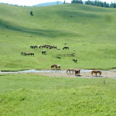 Mountain meadowPoiana PonorBogaaltitude 1 085 m35 km from DumitreasaPoiana Ponor (Hungarian: Ponor-rét) is a closed karst depression on the Padiș plateau in the Bihor Mountains (Apuseni), at about 1,085 m.
Craft nearby
All craft places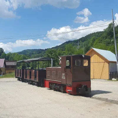 Heritage transportApuseni Narrow-Gauge Train: Câmpeni–Abrud ride in Moți LandVârși23 km from DumitreasaThe narrow-gauge railway along the Arieș valley was officially opened on 20 June 1912. It linked the town of Turda with mountain Abrud in Țara Moților, the Moți Land —...
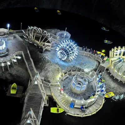 Water parks & thermal poolsSalina Turda: a lake 112 m underground and speleotherapyTurda47 km from DumitreasaThe Turda Salt Mine (Salina Turda) is one of Romania's best-known underground sights, on the edge of the town of Turda in Cluj County, a few dozen kilometres from Cluj...
