Rock sculpture of Decebalus above the Danube
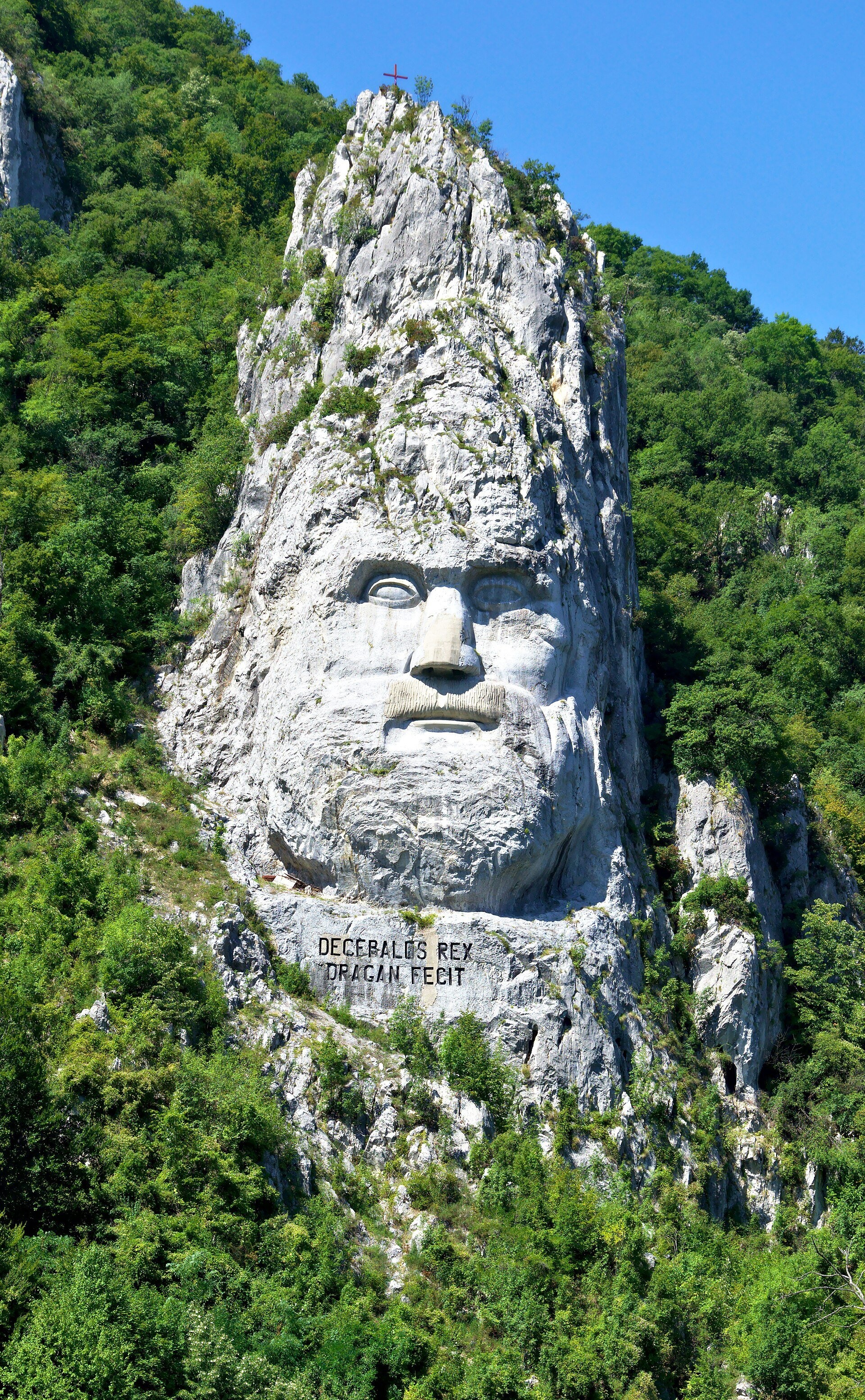
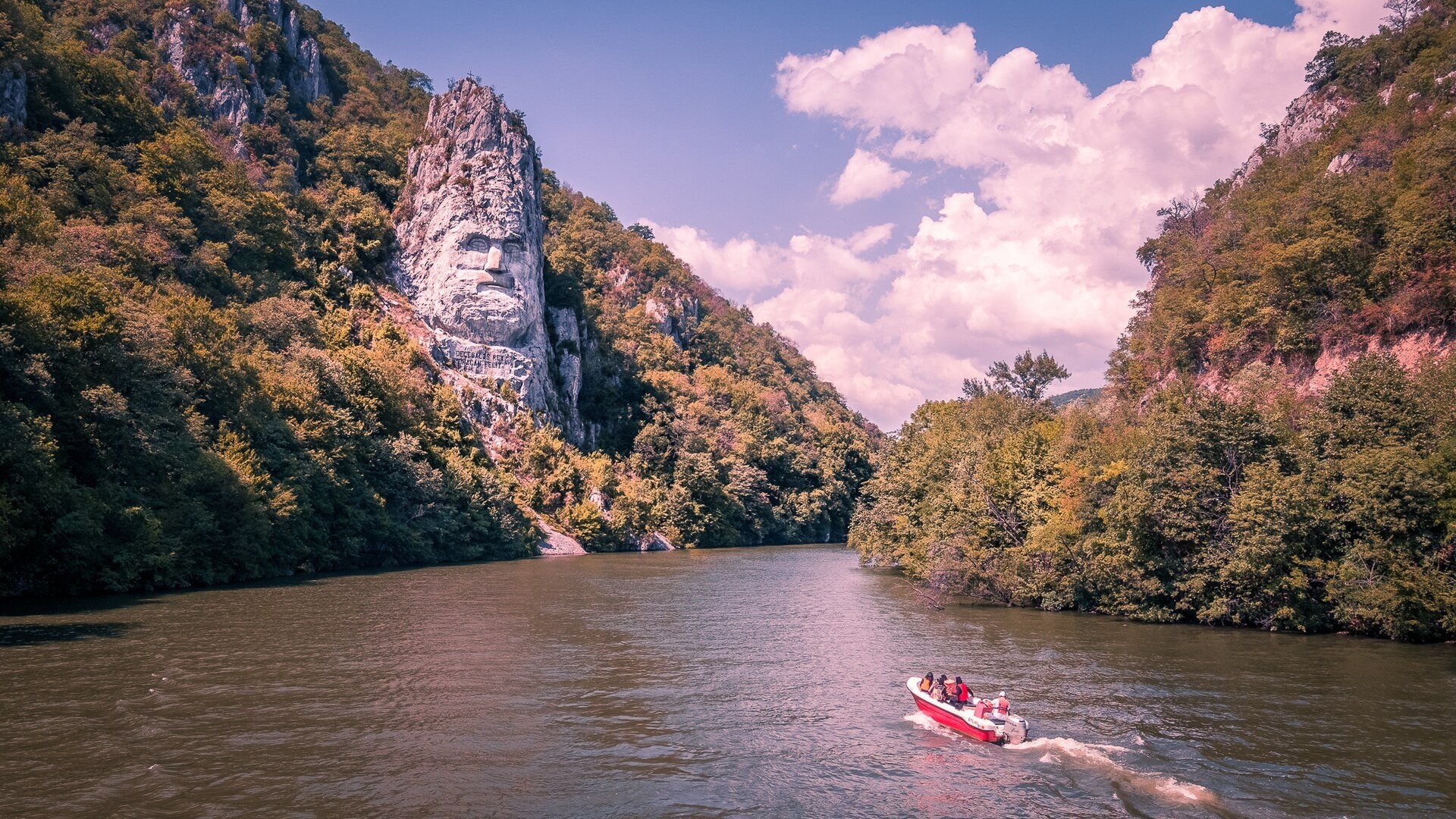
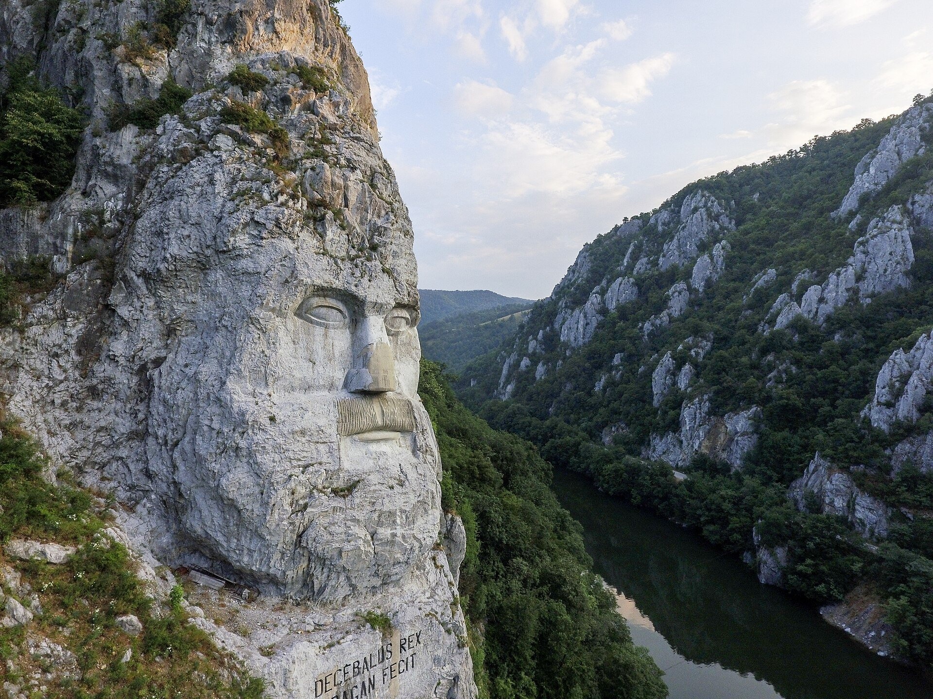
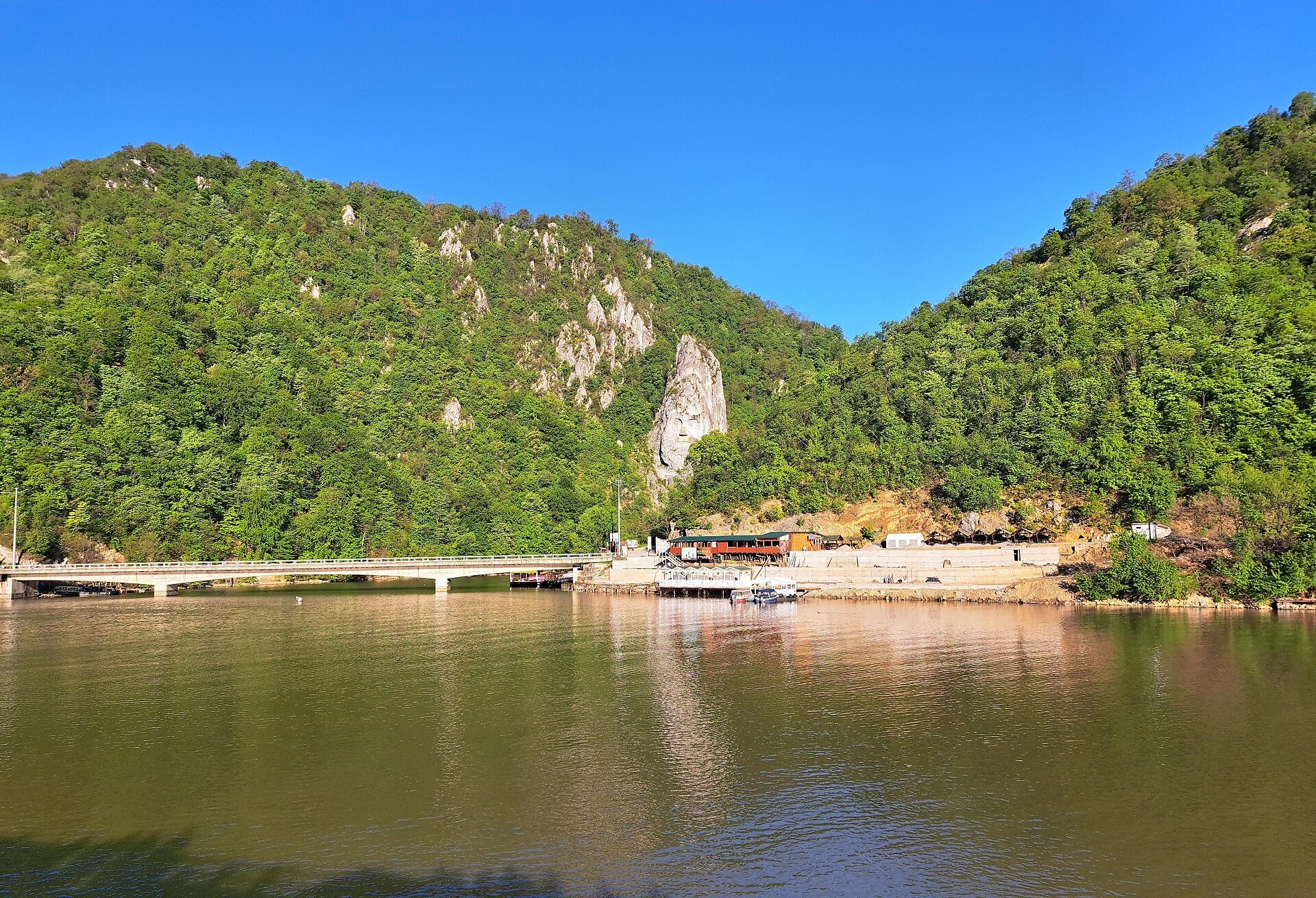
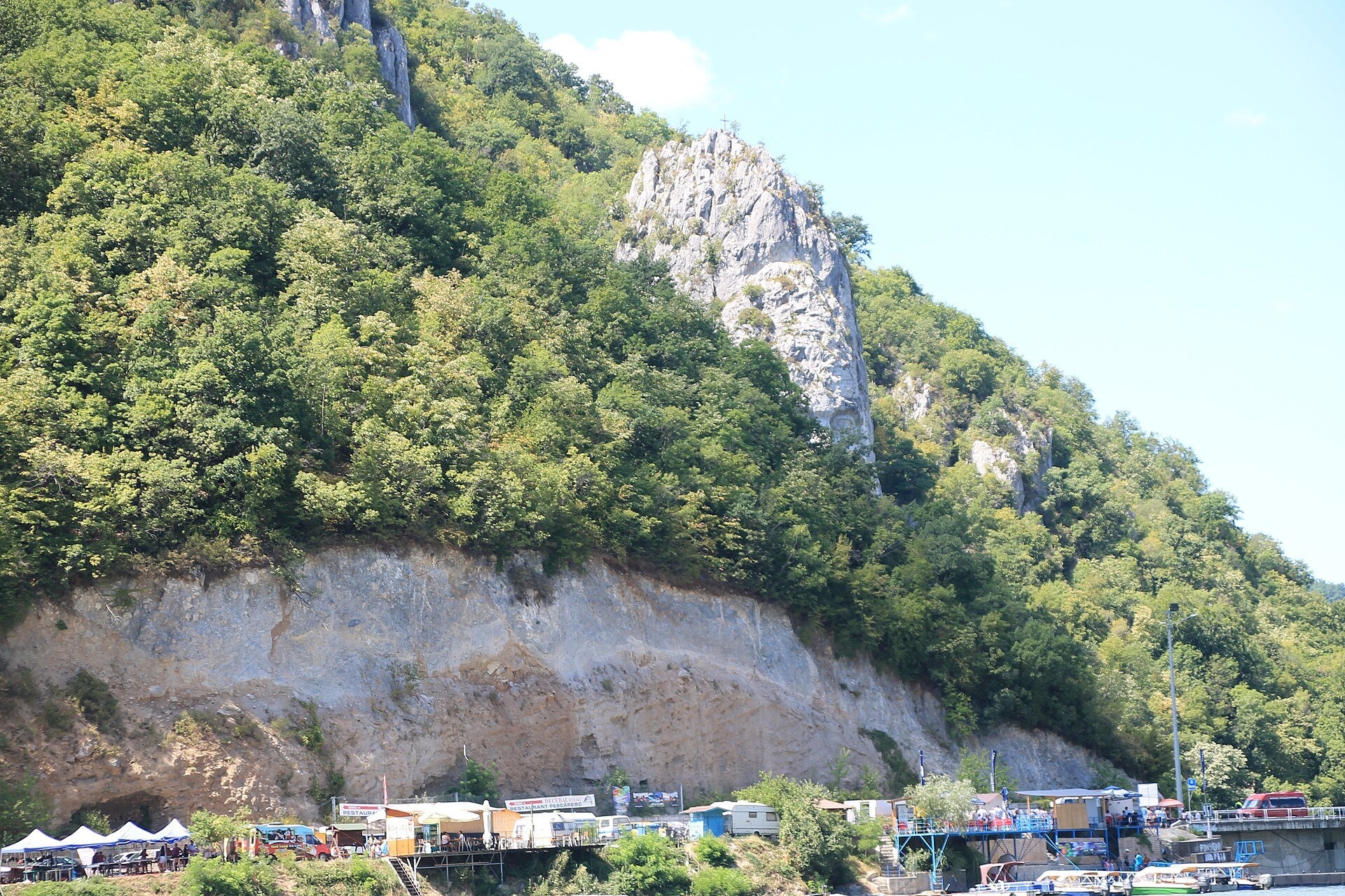
The king of Dacia in a cliff above the Danube
The Rock sculpture of Decebalus (Chipul lui Decebal) is a giant relief carved into a limestone cliff on the left bank of the Danube, in Mraconia bay between the villages of Dubova and Eșelnița, near the town of Orșova. It depicts Decebalus, the last king of Dacia, who fought the Roman emperor Trajan at the start of the 2nd century AD. Right here, in the Cazane gorge (Cazanele Dunării), the Danube is at its narrowest and deepest, and nearby on the Serbian bank survives the Tabula Traiana — a Roman inscription commemorating the construction of a road along the river.
Despite its ancient subject, this is a modern work. The idea and the funding came from the Romanian businessman and amateur historian Iosif Constantin Drăgan; the work took ten years, from 1994 to 2004, under the direction of sculptor Florin Cotarcea. The relief is 55 metres high and 25 metres wide; the nose alone is 7 metres long and each eye 4.3 metres. A team of twelve sculptor-climbers worked on scaffolding from March to October in two shifts; no heavy machinery could be brought in, so tools came by boat and were carried up on their backs, and more than a tonne of explosives was used for the rough shaping of the rock. Below the chin is the Latin inscription «DECEBALUS REX — DRAGAN FECIT» («King Decebalus — made by Drăgan»). The relief is often described as the tallest rock sculpture in Europe.
Why go
The face of Decebalus is the best-known and most photographed sight of the Danube gorges. It combines sheer scale — a person at its foot looks tiny — with a stunning natural setting: sheer limestone walls, forested slopes and the wide surface of the Danube. A boat trip through the Great and Small Cauldrons with a stop at the relief is one of the most popular outings on the Romanian Danube, and neighbouring Mraconia Monastery makes the stop even more rewarding.
What to see
- The relief itself — a bearded face with a Dacian cap set against the cliff; the light is usually best in the morning.
- The inscription «DECEBALUS REX — DRAGAN FECIT» below the chin.
- Mraconia bay from the bridge on the DN57 road — the classic view of the rock and the water.
- The Small and Great Cauldrons — the narrowest stretch of the Danube, best seen from a boat.
- The Tabula Traiana on the Serbian bank — shown on some boat tours.
Practical information
The relief lies by the DN57 road, about 15 km from Orșova and roughly 40 km from Drobeta-Turnu Severin. From the shore and the bridge over Mraconia bay it can be seen at any time; by the bay there are small parking areas and landing stages from which sightseeing boats and motorboats depart. The operators are private, so timetables and prices are set by them; there are more trips in the warm season and there may be none in winter. You cannot climb up to the sculpture itself — it is a sheer cliff.
From Ukraine the simplest routes lead through Hungary and Timișoara or through the Solotvyno – Sighetu Marmației crossing and on across Transylvania; the trip is best combined with other places in the Banat. Half an hour is enough to look from the shore, while a boat trip through the gorges usually lasts from one to several hours. Bring a hat and water: in summer the gorge gets hot.
Nearby
- Mraconia Monastery — a white Orthodox monastery on the other side of the bay.
- The town of Orșova on the shore of the Iron Gates reservoir — 15 km away.
- Rudăria water mills in Eftimie Murgu — more than twenty working mills.
- Beușnița waterfalls in the Nera gorge.
Photos: Yanko Malinov, CC BY-SA 4.0, Wikimedia Commons; Giuseppe Milo from Dublin, Ireland, CC BY 2.0, Wikimedia Commons; https://www.facebook.com/george.bufan, CC BY-SA 4.0, Wikimedia Commons; Bybbisch94, Christian Gebhardt, CC BY-SA 4.0, Wikimedia Commons; Ванилица, CC BY-SA 4.0, Wikimedia Commons; Bingar1234, CC BY-SA 4.0, Wikimedia Commons.
Getting there from Ukraine
Border crossings
- Porubne – Siret — road and pedestrian, 24/7
- Diakivtsi – Racovăț — road and pedestrian, 24/7 No freight traffic.
- Krasnoilsk – Vicovu de Sus — road and pedestrian, 08:00–20:00 Cars up to 3.5 t and pedestrians only; not 24/7.
- Solotvyno – Sighetu Marmației — road and pedestrian, 24/7 Passenger traffic only: vehicles up to 3.5 t with up to 9 seats, pedestrians.
- Diakove – Halmeu — road, 24/7 No pedestrian crossing.
By car
Rakhiv – Petroșani ≈450 km, ≈6 h 36 min (via Solotvyno – Sighetu Marmației); Ivano-Frankivsk – Petroșani ≈584 km, ≈8 h 55 min (via Solotvyno – Sighetu Marmației); Chernivtsi – Petroșani ≈539 km, ≈9 h 19 min (via Krasnoilsk – Vicovu de Sus). Times without border queues, our road routing (GraphHopper, OSM).
Checked 03.11.2026; border crossing hours and timetables change — check before you travel.
Comments
Travellers’ experience: reports, tips, questions.
No one has written here yet. Be the first — your experience helps others.
Video 2
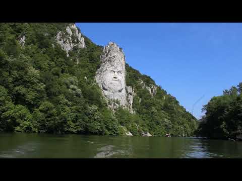 Chipul lui Decebal de la Cazanele DunăriiTVR

Location on the map
Nearby attractions
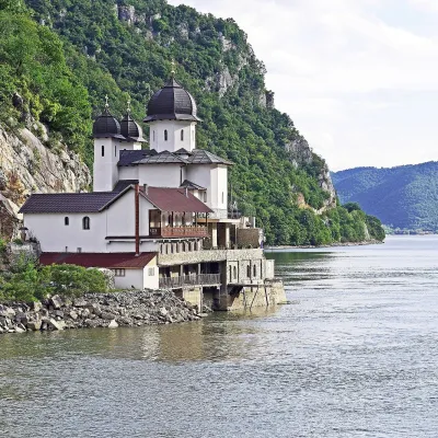 ChurchMraconia Monastery: a church above the Danube gorgeDubovaunder 1 km from Rock sculpture of Decebalus above the DanubeMraconia Monastery (Mănăstirea Mraconia) stands on the left, Romanian bank of the Danube, in the narrow bay of the Mraconia stream between the villages of Dubova and...
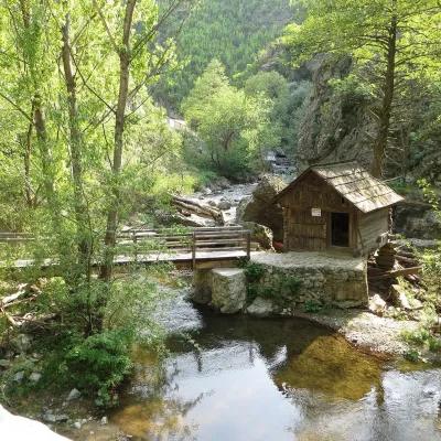 Crafts & workshopsRudăria Watermills: 22 working mills in Eftimie Murgu, BanatEftimie Murgu29 km from Rock sculpture of Decebalus above the DanubeThe village of Eftimie Murgu lies in Țara Almăjului, in the south of the Banat, in the mountains of Caraș-Severin County.
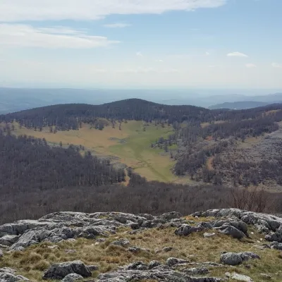 Mountain meadowPoiana BeletinaIsvernaaltitude 1 193 m48 km from Rock sculpture of Decebalus above the DanubePoiana Beletina (locals also say Bilitin or Belentina) is a closed karst depression on the crest of the Mehedinți Mountains, in the south-west of the Romanian...