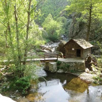
Poiana Beletina
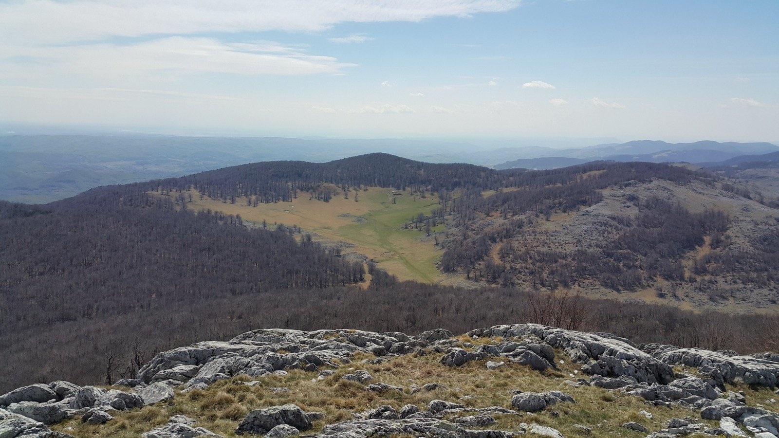
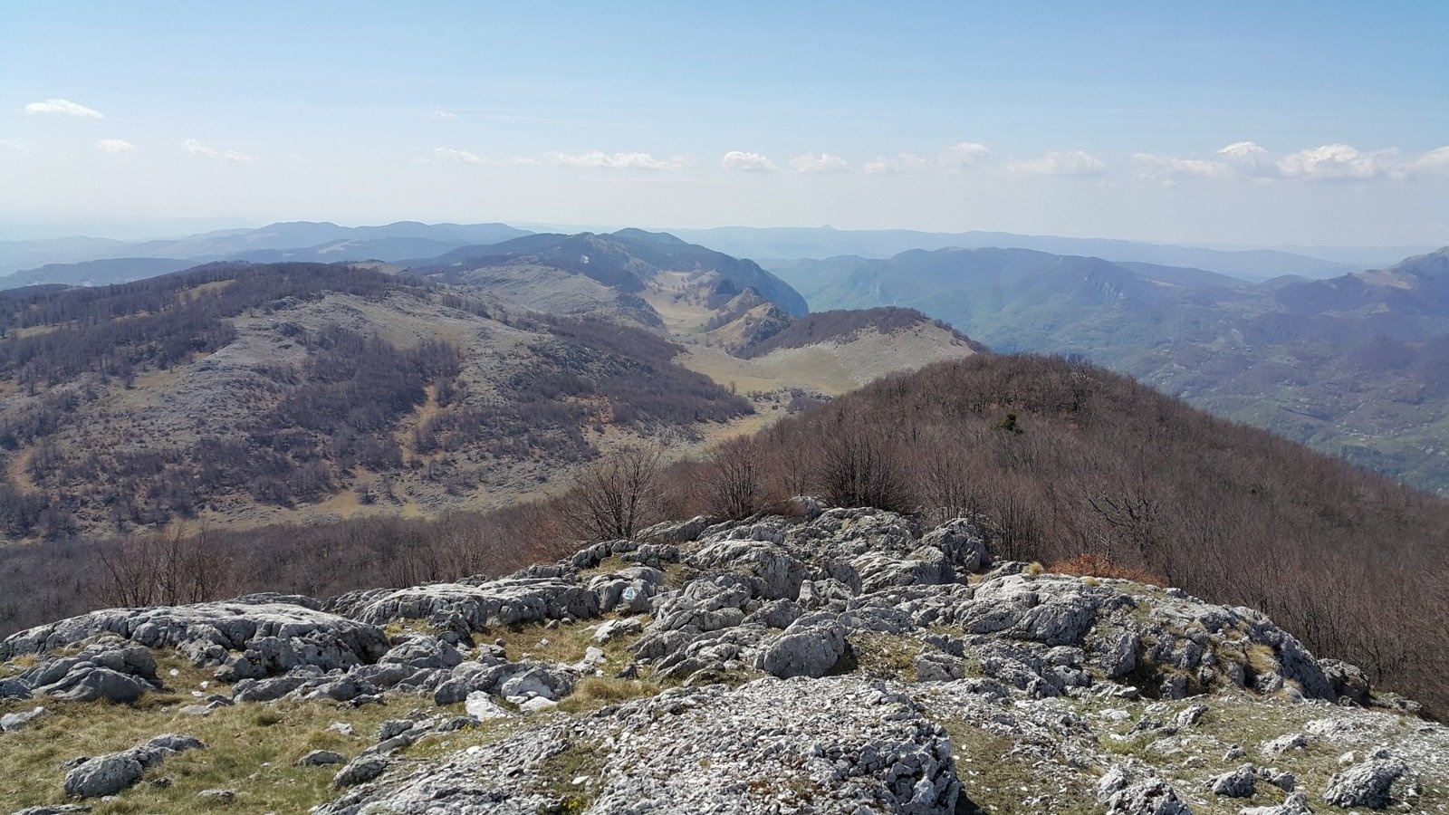
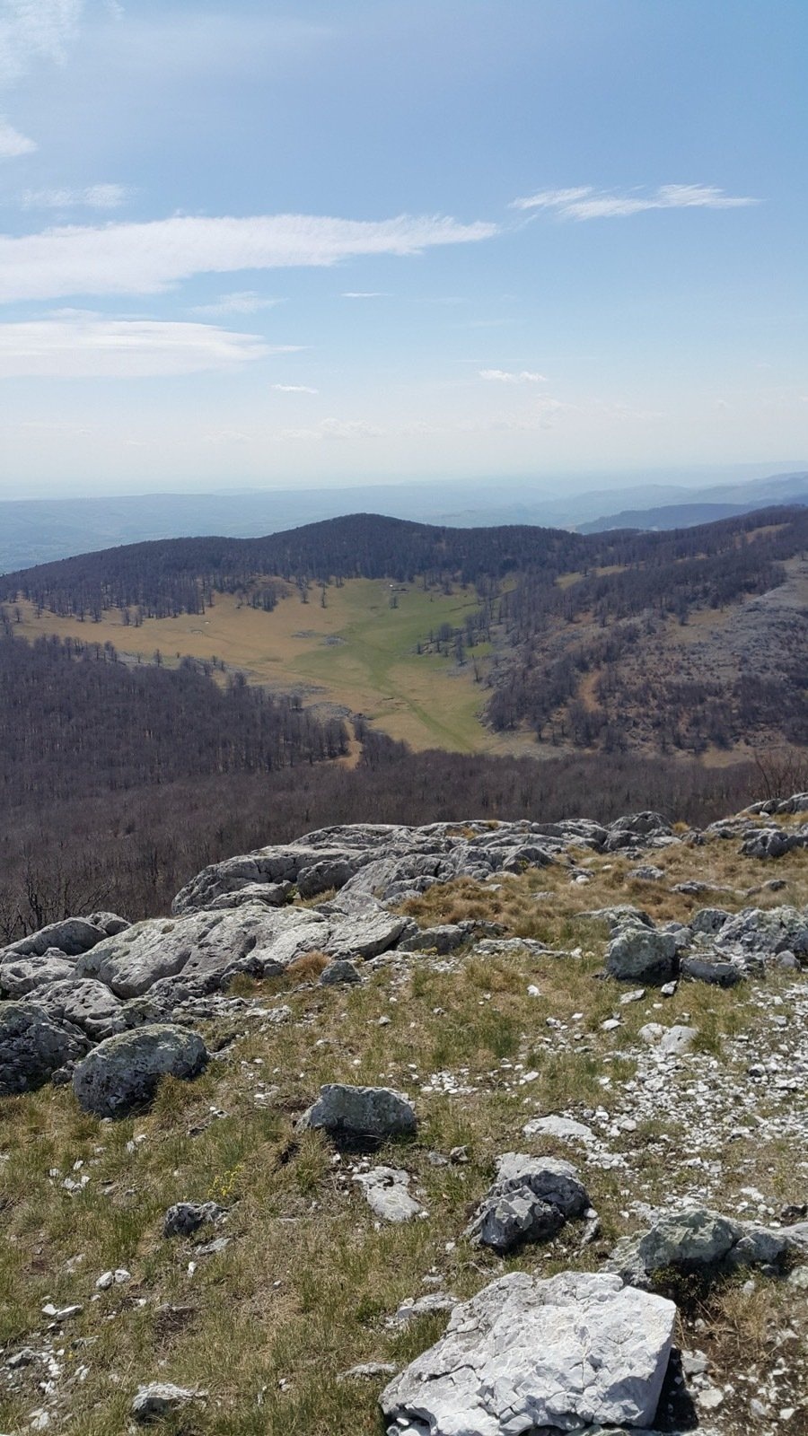
Poiana Beletina (locals also say Bilitin or Belentina) is a closed karst depression on the crest of the Mehedinți Mountains, in the south-west of the Romanian Carpathians, at about 1,200 m. The Munții Noștri hiking atlas describes it as an open karst depression, "like a stadium of perfect smoothness", guarded by white karren — the grooves and ribs that water carves into limestone. Romanian Wikipedia lists Beletina among the country's known poljes, the most developed flat-floored karst depressions.
Beletina is the last in the chain of the "Upper Meadows" (Poienile de Sus): green, round or elongated doline meadows lying right on the summit crest above the sheer western wall of the range. Before it the path passes Crovul Mare, a huge doline more than 100 m deep ringed by limestone walls, and Poiana Mare (1,170 m) with its field of karren. Vârful lui Stan (1,466 m), the highest summit of the Mehedinți Mountains, keeps appearing above the meadow. Near the main ridge above the grass the description of the path from Isverna mentions a stână, a shepherds' summer station.
What to see and do
- The depression itself — a level grassy floor among forest and white rocks.
- The Beletina Saddle (1,200 m) — the viewpoint over the meadow and Vârful lui Stan.
- Crovul Mare and Poiana Mare — the neighbouring karst meadows with karren.
- The Tâmna Gorge (Cheile Tâmnei) — three sections of rock gates on the climb from the Cerna valley, in the land of the Banat black pine.
- Vârful lui Stan — a blue triangle leads to the summit from the Mazdronea ridge.
How to get there
Route no. 20 (red dot) starts at km 26 of national road DN67D in the Cerna valley, at the Piatra Pușcată lay-by above the spa town of Băile Herculane. The path first gains about 700 m steeply and without respite through forest among huge boulders, passes a few farmhouses with orchards after some 45 minutes, then threads the Tâmna Gorge and comes out into Crovul Mare. There the red dot turns 90 degrees left, crosses Poiana Mare and reaches the edge of Poiana Beletina, where it meets the red-stripe ridge trail. It continues through forest to the Mazdronea ridge and drops briefly to the Arșasca Saddle on the same DN67D road, near the village of Godeanu. In all 8.2 km and more than 900 m of ascent; the atlas reckons 4–5 hours and calls the walk fairly demanding.
From the east, a blue-triangle path climbs from the village of Isverna to the Beletina Saddle in 2.5–3 hours, medium difficulty (as described by the Pro-Mehedinți association).
Season, rules and safety
The meadow lies in Domogled – Valea Cernei National Park (61,211 ha). The atlas gives a specific warning: waymarks are sparse on Poiana Beletina itself, so carry a map or a downloaded track. In winter the route from the Cerna valley is passable only in favourable snow, and the path from Isverna is not recommended in winter. There is a spring with a wooden trough at the start of the climb; the atlas mentions no other water on the route.
Bears live in the Romanian Carpathians: stay on the marked paths, never leave food by a tent or a car, and near flocks do not run from the sheepdogs — stop and walk calmly around the herd. Salvamont mountain rescue: national dispatch 0SALVAMONT — 0725 826 668 or 112; advice for hikers is on salvamontromania.ro.
Nearby
Vârful lui Stan (1,466 m), the Tâmna Gorge and the thermal spa of Băile Herculane in the Cerna valley.
Photos: I C I (2, 3), CC BY-SA 2.0, Flickr.
Getting there from Ukraine
Border crossings
- Porubne – Siret — road and pedestrian, 24/7
- Diakivtsi – Racovăț — road and pedestrian, 24/7 No freight traffic.
- Krasnoilsk – Vicovu de Sus — road and pedestrian, 08:00–20:00 Cars up to 3.5 t and pedestrians only; not 24/7.
- Solotvyno – Sighetu Marmației — road and pedestrian, 24/7 Passenger traffic only: vehicles up to 3.5 t with up to 9 seats, pedestrians.
- Diakove – Halmeu — road, 24/7 No pedestrian crossing.
By car
Rakhiv – Petroșani ≈450 km, ≈6 h 36 min (via Solotvyno – Sighetu Marmației); Ivano-Frankivsk – Petroșani ≈584 km, ≈8 h 55 min (via Solotvyno – Sighetu Marmației); Chernivtsi – Petroșani ≈539 km, ≈9 h 19 min (via Krasnoilsk – Vicovu de Sus). Times without border queues, our road routing (GraphHopper, OSM).
Checked 03.11.2026; border crossing hours and timetables change — check before you travel.
Comments
Travellers’ experience: reports, tips, questions.
No one has written here yet. Be the first — your experience helps others.
Location on the map
Water and shelter nearby
- Spring below Tâlva (south-east slope), 1 210 m510 m · Not verified · 1 210 m
- Spring below Tâlva (east slope)540 m · Not verified · 1 234 m
- Spring below Tâlva (south-east slope), 1 238 m790 m · Not verified · 1 238 m
- Spring below Broscan (north slope)1.8 km · Not verified · 1 178 m
- Spring below Broscan (north-west slope)2.6 km · Not verified · 679 m
- Spring below Tâlva (west slope)2.8 km · Not verified · 586 m
Nearby attractions
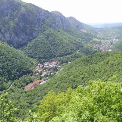 Water parks & thermal poolsBăile Herculane: sulphur thermal springs of the Cerna valleyBăile Herculane18 km from Poiana BeletinaBăile Herculane is Romania's oldest and best-known spa, a small town in the narrow valley of the Cerna river in Caraș-Severin County, at about 168 m, inside the...
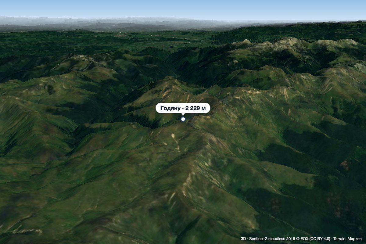 PeakGodeanu Peakaltitude 2 229 m25 km from Poiana BeletinaGodeanu Peak (Romanian Vârful Godeanu) is a 2,229 m summit on the main ridge of the Godeanu Mountains in the western Southern Carpathians of Romania.
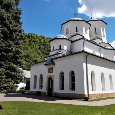 ChurchTismana Monastery: Wallachia's oldest monastery on a cragGornovița27 km from Poiana BeletinaTismana Monastery (Mănăstirea Tismana) stands on a rocky spur of Mount Stârmina above the Tismana river valley, on the edge of the small town of Tismana in Gorj County...