Beușnița Waterfalls (Cascadele Beușniței)
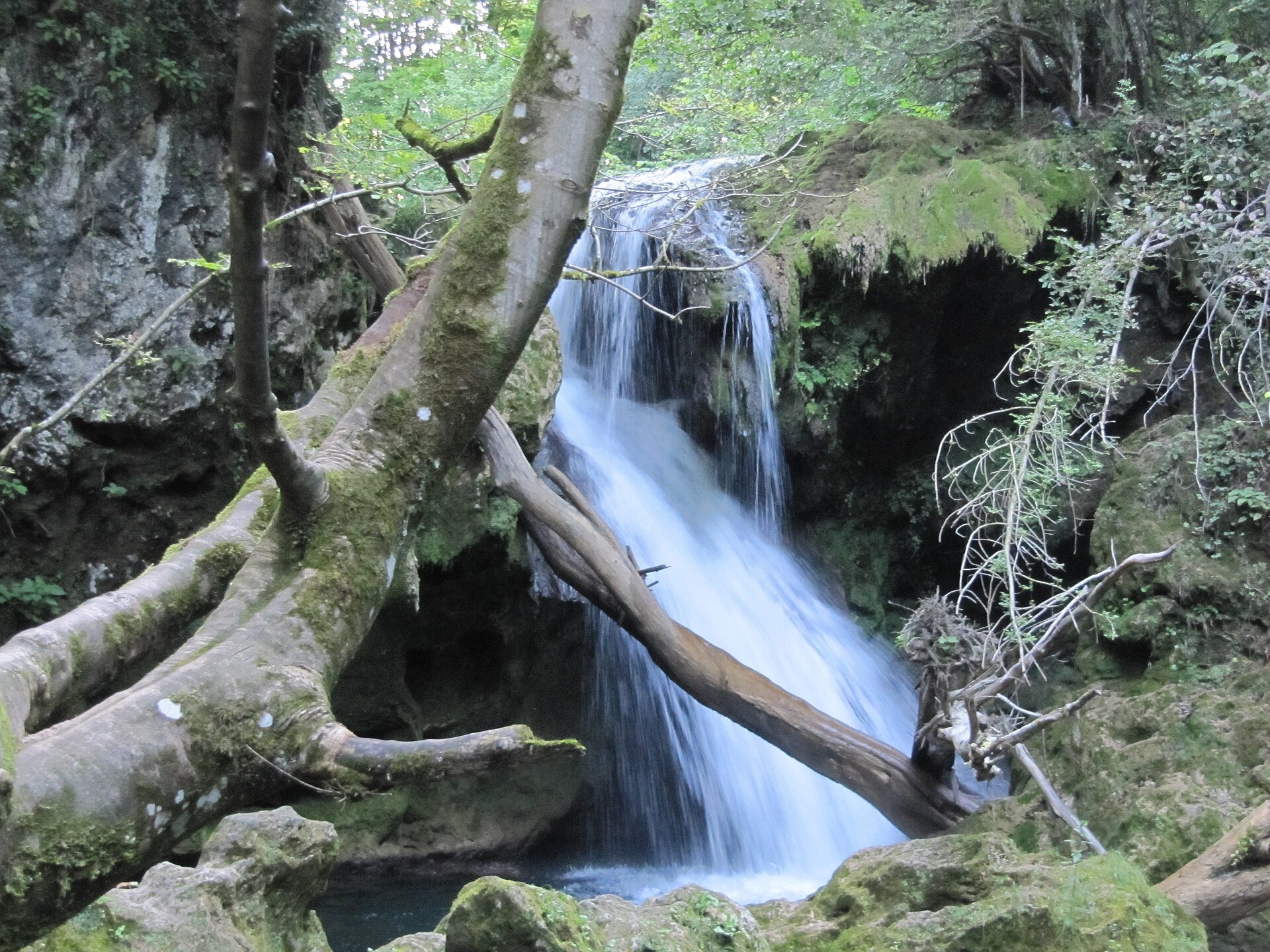
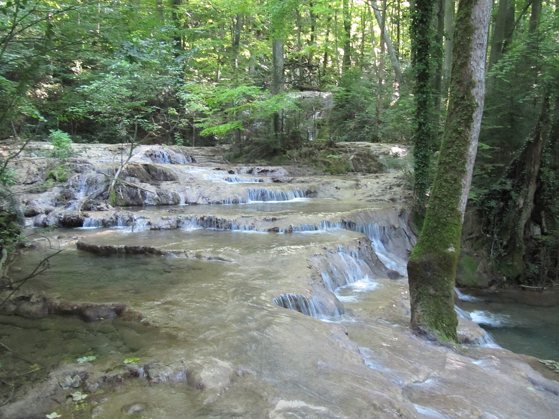
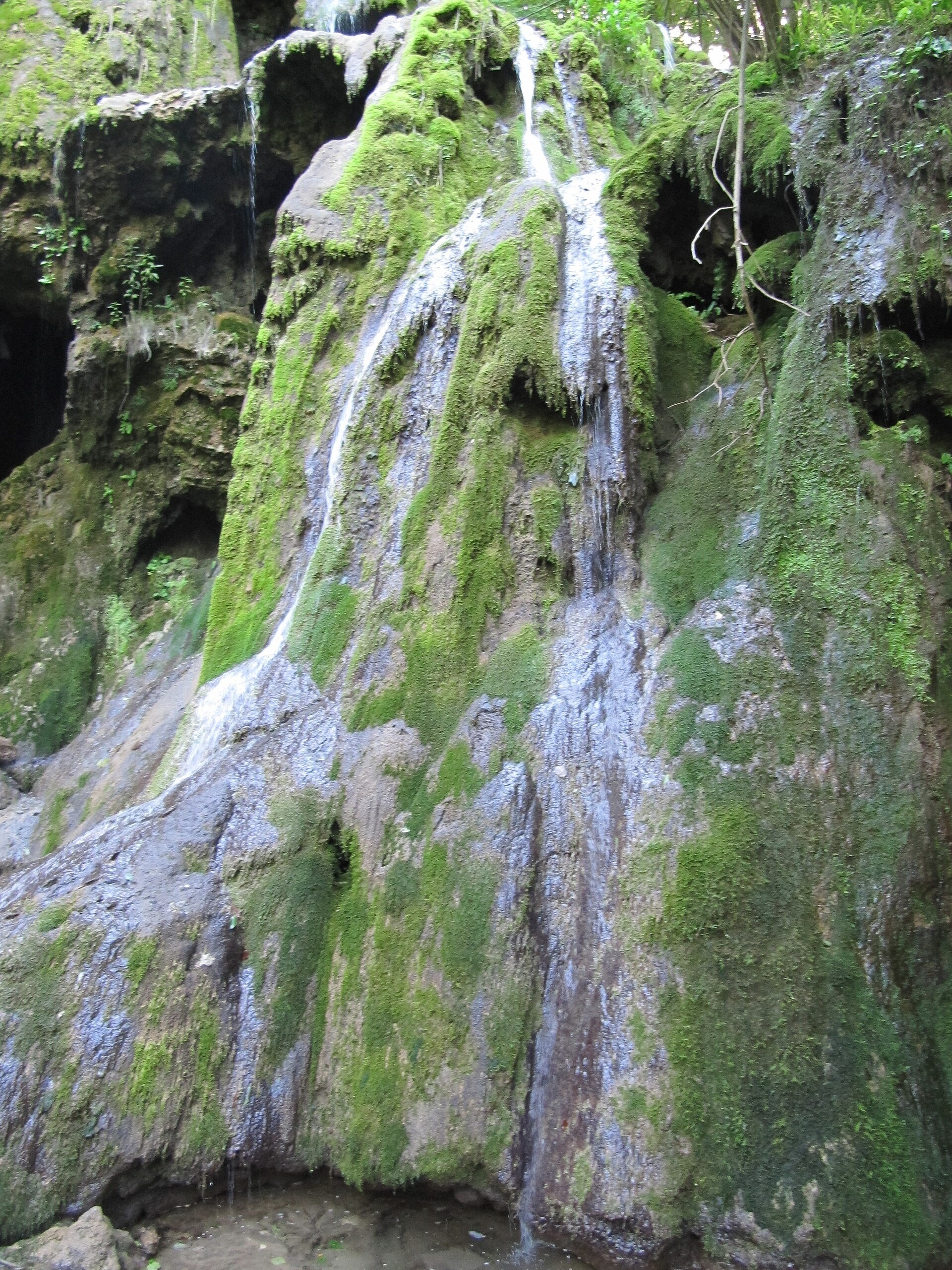
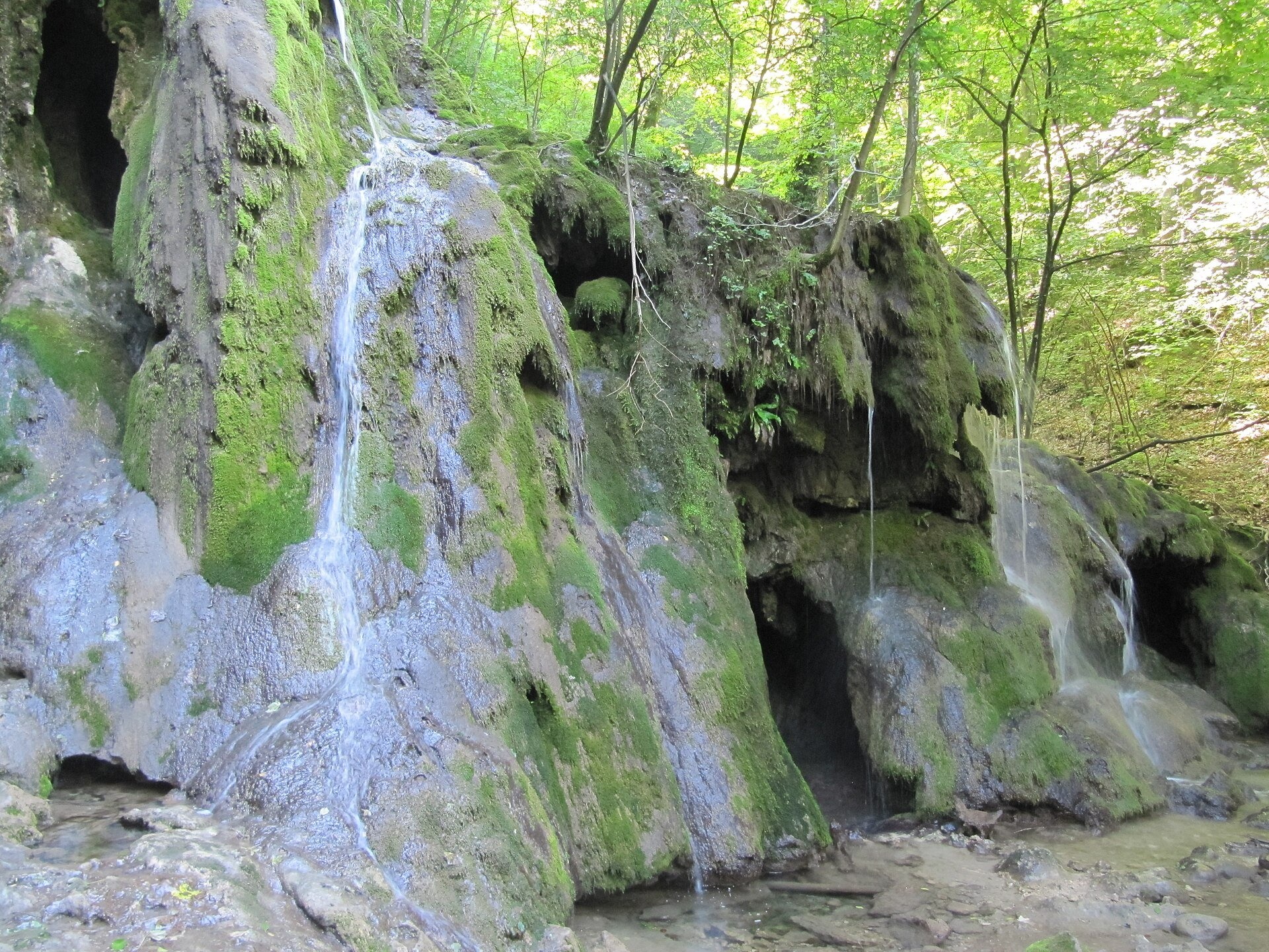
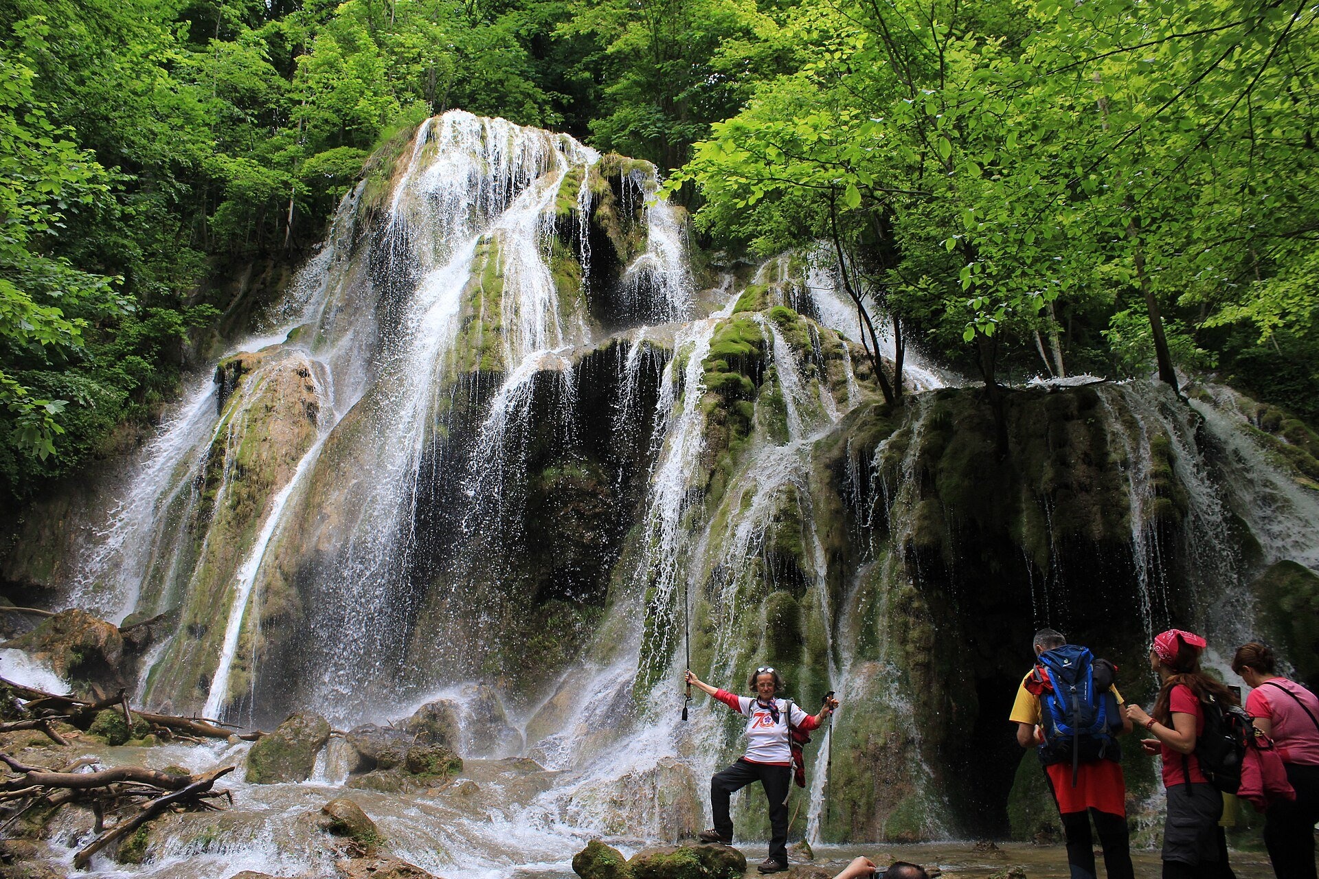
The Beușnița Waterfalls (Cascadele Beușniței) are a chain of cascades on the Beu river, a tributary of the Nera, above Ochiul Beiului lake in the southern Anina Mountains, part of the Banat Mountains. This is a strict protection zone of the Cheile Nerei–Beușnița National Park in Caraș-Severin County.
The cascades grew out of limestone that the water dissolved and laid down again, layer after layer, along the riverbed over thousands of years. The result is calcareous tufa, a soft porous rock that the river shaped into small dams, pools and steps. Sources disagree on the height of the largest fall: the Romanian Wikipedia says "more than 5 m", the German one 5–9 m, the Munții Noștri guide 15 m.
What to see
The main fall is covered in moss and surrounded by old beech forest; below it the water runs down several smaller steps. On the way you pass Ochiul Beiului, a karst lake at the confluence of the Beușnița and the Beiul Sec, fed continuously by an underwater spring; its blue-green colour gave it the name "the Bey's Eye". Further down the valley, by the forest road, is the La Văioagă waterfall, about 6 m high according to the German Wikipedia.
The forests of the Beușnița and Nera valleys were first protected in 1943, and the main aim then was to safeguard these waterfalls (German Wikipedia).
How to get there
The usual approach starts at Podul Beiului, the bridge where the Beu joins the Nera: a forest road follows the valley past La Văioagă, the Valea Beiului forestry cabin (with a parking area) and a trout farm to Ochiul Beiului. From the lake a path marked with a red cross leads to the waterfalls: about 20 minutes according to the park administration's leaflet, 20–40 minutes in other guides.
There is also an unpaved road into the Beu valley from the village of Potoc, part of Sasca Montană commune. The park leaflet says motor traffic inside the protected area is restricted, so ask the park administration whether you may drive to the forestry cabin.
Season and safety
The valley is passable all year, with most water in spring. Tufa is fragile: do not step on the edges of the steps or into the pools. In the strict protection zone you walk only on marked paths. We could not find the amount of the park visiting fee — check it on the administration's website or at its office in Sasca Montană.
Bears live in the Romanian Carpathians: stay on the marked path, talk as you walk and leave no food or litter; near sheepfolds do not run from the shepherd dogs — stop and calmly walk around the flock. Mountain rescue (Salvamont): national dispatch 0SALVAMONT — 0725 826 668 or 112; the service's advice for hikers is at salvamontromania.ro.
Official website: cheilenereibeusnita.ro
Photos: Palickap, CC BY-SA 4.0, Wikimedia Commons; Geograf208, CC BY-SA 4.0, Wikimedia Commons.
Getting there from Ukraine
Border crossings
- Porubne – Siret — road and pedestrian, 24/7
- Diakivtsi – Racovăț — road and pedestrian, 24/7 No freight traffic.
- Krasnoilsk – Vicovu de Sus — road and pedestrian, 08:00–20:00 Cars up to 3.5 t and pedestrians only; not 24/7.
- Solotvyno – Sighetu Marmației — road and pedestrian, 24/7 Passenger traffic only: vehicles up to 3.5 t with up to 9 seats, pedestrians.
- Diakove – Halmeu — road, 24/7 No pedestrian crossing.
By car
Rakhiv – Petroșani ≈450 km, ≈6 h 36 min (via Solotvyno – Sighetu Marmației); Ivano-Frankivsk – Petroșani ≈584 km, ≈8 h 55 min (via Solotvyno – Sighetu Marmației); Chernivtsi – Petroșani ≈539 km, ≈9 h 19 min (via Krasnoilsk – Vicovu de Sus). Times without border queues, our road routing (GraphHopper, OSM).
Checked 03.11.2026; border crossing hours and timetables change — check before you travel.
Comments
Travellers’ experience: reports, tips, questions.
No one has written here yet. Be the first — your experience helps others.
Location on the map
Wildlife nearby
All
Based on naturalists’ records nearby (GBIF, iNaturalist), matched by altitude, habitat and season. Sightings are not guaranteed.
Nearby attractions
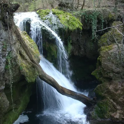 WaterfallLa Văioagă Waterfall (Cascada La Văioagă)Potoc · Banat Mountains3.8 km from Beușnița Waterfalls (Cascadele Beușniței)height 6 m234 m above sea levelLa Văioagă Waterfall (Cascada La Văioagă) is a step on the Beu river, a tributary of the Nera, in the Anina Mountains, part of the Banat Mountains.
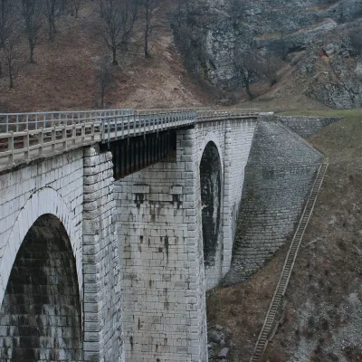 Heritage transportOravița–Anina Railway: the «Banat Semmering» mountain lineOravița15 km from Beușnița Waterfalls (Cascadele Beușniței)The line between the small towns of Oravița and Anina in western Romania, in the Banat mountains, was built in 1860–1863.
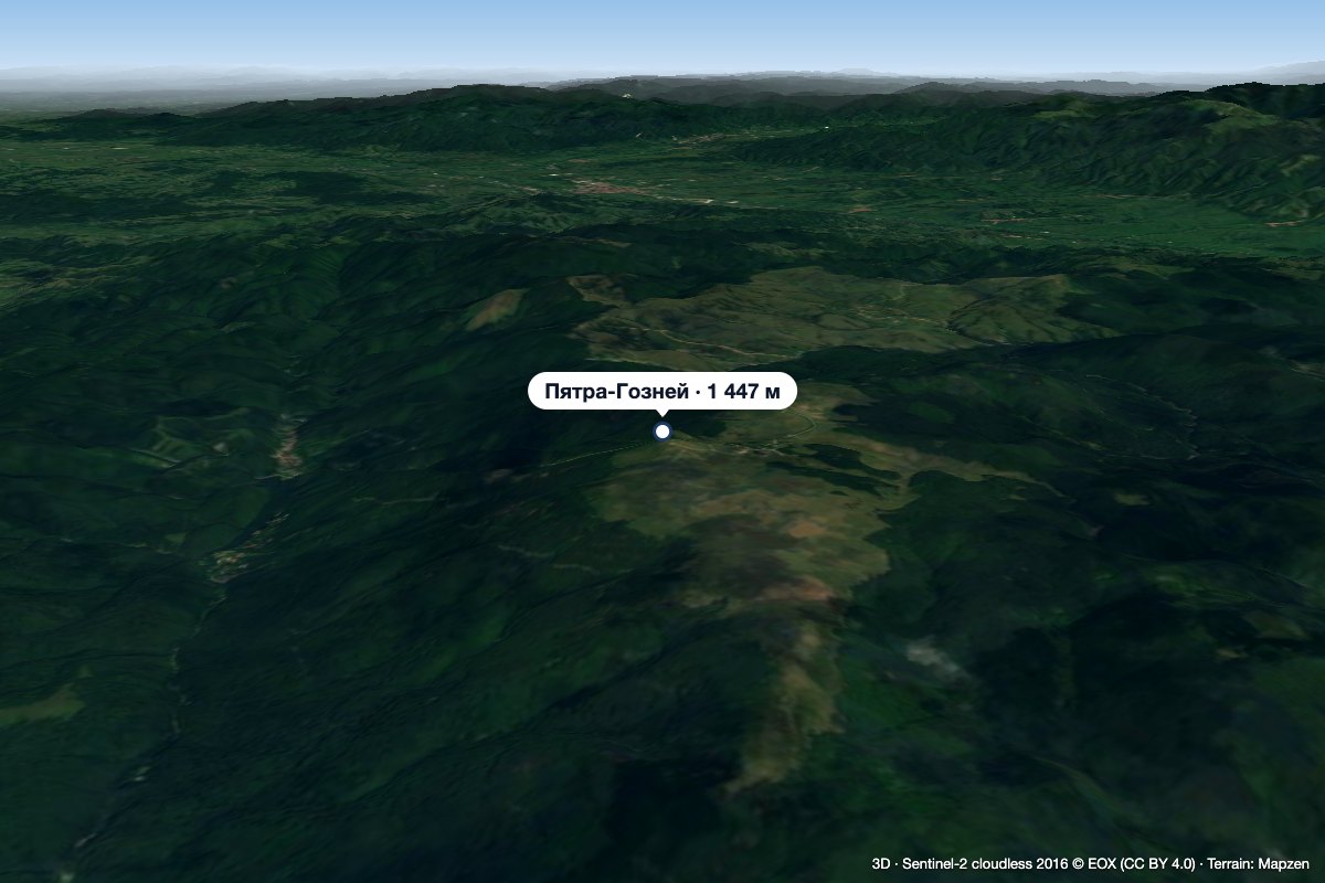 PeakPiatra GozneiVăliugaltitude 1 447 m34 km from Beușnița Waterfalls (Cascadele Beușniței)Piatra Goznei (Romanian Vârful Piatra Goznei, also Piatra Gozna or simply Gozna) is the highest summit of the Semenic Mountains, at 1,447 m, in Caraș-Severin County in...
Craft nearby
All craft places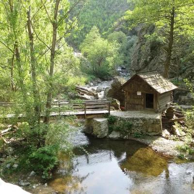 Crafts & workshopsRudăria Watermills: 22 working mills in Eftimie Murgu, BanatEftimie Murgu25 km from Beușnița Waterfalls (Cascadele Beușniței)The village of Eftimie Murgu lies in Țara Almăjului, in the south of the Banat, in the mountains of Caraș-Severin County.
 Water parks & thermal poolsBăile Herculane: sulphur thermal springs of the Cerna valleyBăile Herculane49 km from Beușnița Waterfalls (Cascadele Beușniței)Băile Herculane is Romania's oldest and best-known spa, a small town in the narrow valley of the Cerna river in Caraș-Severin County, at about 168 m, inside the...
