Curmătura Brătilei – Roșu Peak
Trail map
Route, springs and shelters: © OpenStreetMap contributors (ODbL) · elevation: Copernicus DEM © DLR e.V., © Airbus DS · Data & licences
About the trail
Route Curmătura Brătilei – Roșu Peak. Has red marking (local route). Waymarking data: OpenStreetMap (© OpenStreetMap contributors, ODbL).
Marked local tourist route. Marking is red, sign — triangle on a white background. Length of the route — 15 km. Location: mountain massif — Făgăraș, Romania. Făgăraș Ridge is not a national park, but a Natura 2000 protected area "Munții Făgăraș" (ROSCI0122) with its own regulations: walk only on marked paths and take your trash with you.
At a glance
A one-day route of 15 km with 896 m of ascent from Curmătura Brătilei to Roșu Peak. Estimated walking time: about 5 h, not counting stops. Difficulty: hard. Waymarking: red.
How we estimate walking time
By Naismith's rule, used by mountain clubs and guidebooks: an average hiker walks 4 km an hour on the flat and needs one more hour for every 600 m of ascent. For this trail: 15 km ÷ 4 = 3.7 h + 896 m ÷ 600 = 1.5 h, about 5 h of walking in total.
- Breaks, snacks and photos: add 20–30 %.
- A heavy pack, children, snow, a wet path or windfall add more; a long steep descent also takes time, especially for the knees.
- The height of the Carpathians (up to 2,655 m) hardly changes the pace — on the ridges wind, fog and weather slow you down.
- Limits: up to 9 h is one day; 9–13 h is a very long day or two; over 13 h means several days with overnight stays.
Route stages
- 0–12 kmAlong the ridge at 1,860–2,180 m
- 12–15 kmClimb of 600 m to Roșu (2,469 m)
Steepest kilometre: km 14–15, a climb of 290 m (≈29%), near Roșu.
Water and overnight stays
Springs near the trail: at km 0 and 12. There are no springs between km 0 and 12 — carry at least 2 l of water.
Huts and shelters near the trail: Curmătura Brătilei Hut (km 0).
When to go
Best time: June to September. In winter only for experienced hikers with proper gear: avalanche danger is possible. About 15 km of the route runs above 1,500 m, where the weather changes quickly — check the forecast.
Getting there
Start: Curmătura Brătilei. This is a one-way route: the finish is 12 km from the start in a straight line, so plan your way back in advance.
FAQ
- How long does the route take?
- Estimated walking time: about 5 h, not counting stops.
- Is there water on the route?
- Springs near the trail: at km 0 and 12. There are no springs between km 0 and 12 — carry at least 2 l of water.
- Where can I stay overnight?
- Huts and shelters near the trail: Curmătura Brătilei Hut (km 0).
Water and shelter on the route
- Curmătura Brătilei Hutkm 0 from the start · Not verified · 2 103 m
- Spring below Brătilăkm 0 from the start · 120 m off the path · Not verified · 2 085 m
- Spring on Culmea Brătileikm 11.8 from the start · Not verified · 1 856 m
Wildlife along the route
AllComments
Trails nearby
All trails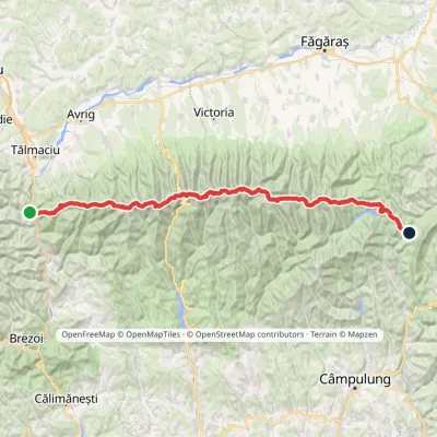 HardMulti-dayMarkedFăgăraș main ridge: Olt Valley Tămașului SaddleElevation profile358–2 525 m93.1 kmascent 6 545 m
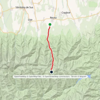 HardOne-dayMarkedDejani Curmătura BrătileiElevation profile586–2 121 m17 kmascent 1 541 m≈ 7 h walking
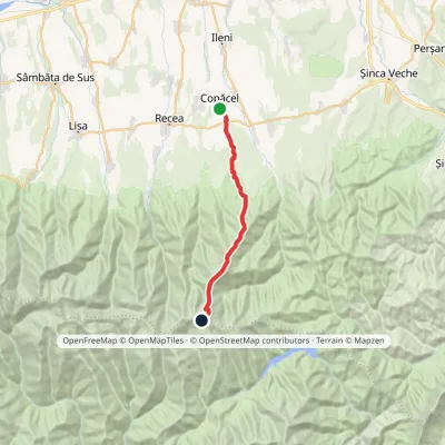 HardOne-dayMarkedCopăcel Făgăraș main ridgevia Berevoescu RefugeElevation profile521–2 286 m20.3 kmascent 1 895 m≈ 8 h walking
