Turytsia village – Vilshynky village
Trail map
Route, springs and shelters: © OpenStreetMap contributors (ODbL) · elevation: Copernicus DEM © DLR e.V., © Airbus DS · Data & licences
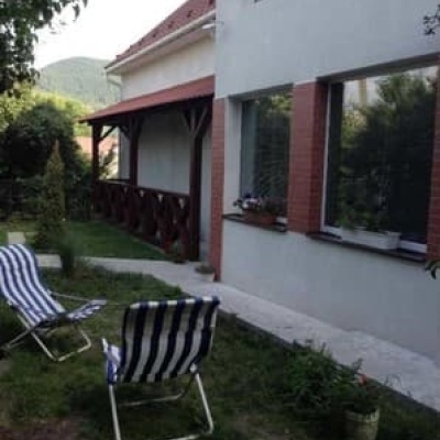
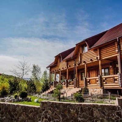
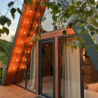
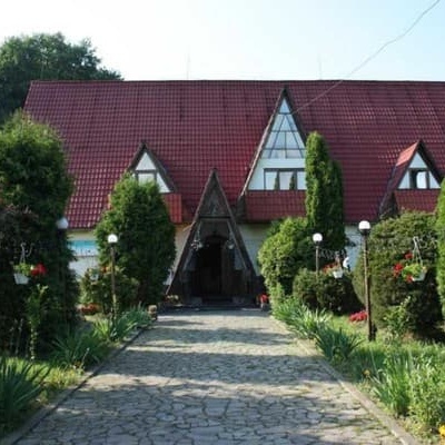
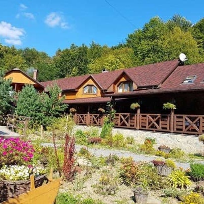
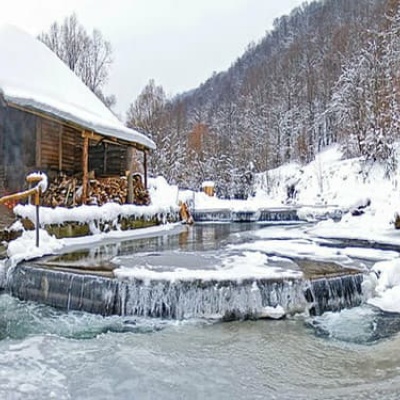
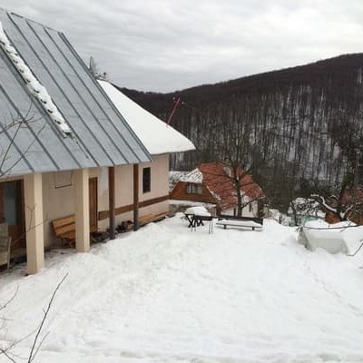
Where to stay nearby
About the trail
Route Turytsia village – Vilshynky village. Has blue marking (local route, Značené trasy). Waymarking data: OpenStreetMap (© OpenStreetMap contributors, ODbL).
Officially marked local tourist route. The marking is blue, the sign is a horizontal stripe on a white background. Marked and maintained by: Značené trasy. Length of the route — 7.5 km. Location: mountain range — Volcanic Ridge, Zakarpattia region.
At a glance
A short route of 7.5 km with 431 m of ascent from Turytsia village to Vilshynky village. Estimated walking time: about 2.5 h, not counting stops. Difficulty: easy. Waymarking: blue.
Route stages
- 0–1 kmGentle ups and downs at 220–250 m
- 1–5 kmClimb of 340 m (up to 586 m)
- 5–7.5 kmGentle ups and downs at 580–650 m
Steepest kilometre: km 1–2, a climb of 110 m (≈11%).
Water and overnight stays
A spring near the trail: at km 7.5.
Places to stay near the finish: Vilshynky.
When to go
The route can be walked most of the year; it is most comfortable from April to October.
Getting there
Start: Turytsia village. This is a one-way route: the finish is 5 km from the start in a straight line, so plan your way back in advance.
FAQ
- How long does the route take?
- Estimated walking time: about 2.5 h, not counting stops.
- Is there water on the route?
- A spring near the trail: at km 7.5.
- Where can I stay overnight?
- Places to stay near the finish: Vilshynky.
Water and shelter on the route
- Drinking water (Vilshynky)km 7.5 from the start · 120 m off the path · Not verified · 625 m
Wildlife along the route
All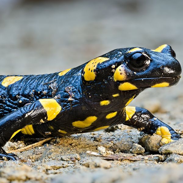
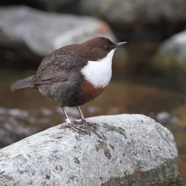
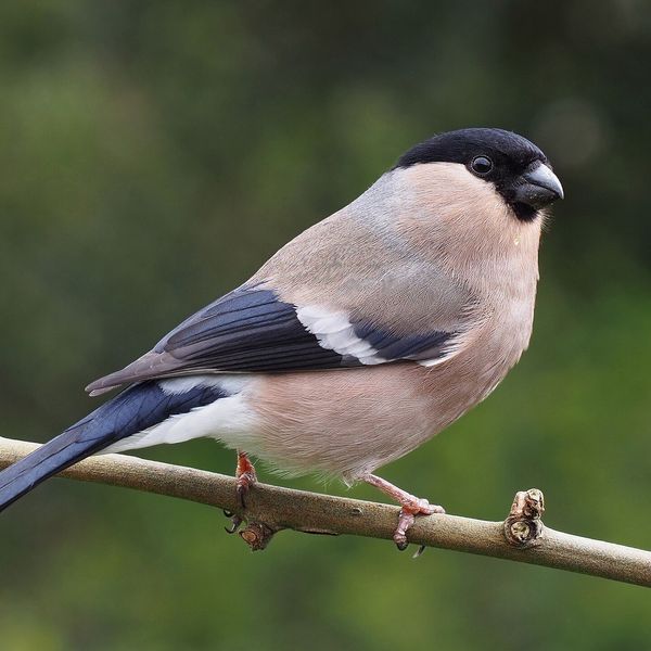
Based on naturalists’ records nearby (GBIF, iNaturalist), matched by altitude, habitat and season. Sightings are not guaranteed.
Before you go, check the border-regime restrictions: Border Guard permit for mountain hikes (in Ukrainian)
Comments
Trails nearby
All trails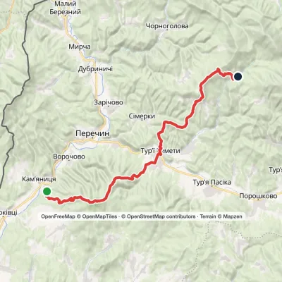 HardMulti-dayMarkedLumshory Nevytske CastleElevation profile178–960 m40.9 kmascent 1 594 m≈ 13.5 h walking
 HardMulti-daySianky village to Turychky villagevia Mount Starostyna, Mount Pikui +3Elevation profile277–1 477 m80.2 kmascent 3 093 m
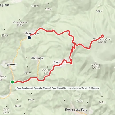 HardMulti-dayTurychky village to Lumshory villagevia Runa polonynaElevation profile274–1 480 m26.5 kmascent 1 206 m≈ 9 h walking
Craft nearby
All craft places Honey & meaderiesTurianskyi Med Apiary, Turia RemetaTuri Remety4.5 km from the trailTurianskyi Med («Turia Honey») is the family apiary of Myroslava and Viktor Minkovych in Turia Remeta, a picturesque village in the Turia river valley near Perechyn.
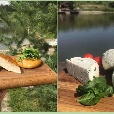 Cheese dairies & pasturesTurianskyi Dvir Estate Cheese Dairy, Turia PolianaTurya Polyana13 km from the trailTurianskyi Dvir is a private country estate on the shore of a mountain lake in the village of Turia Poliana in the Perechyn area, about 50 kilometres from Uzhhorod.
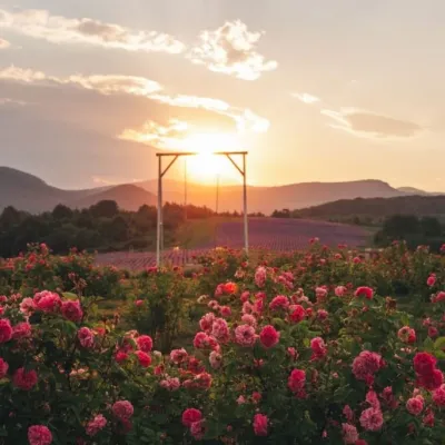 Eco farmsLavandova Hora lavender farm, PerechynPerechyn13 km from the trailLavandova Hora (“Lavender Hill”) is a family farm on the edge of Perechyn that in just a few years has turned an ordinary hill above the town into one of the most...
 Craft producersKarpaty Nasolodzhuisia juices & jams, PerechynPerechyn14 km from the trail“Karpaty Nasolodzhuisia” (Carpathians, Enjoy) is a brand of the company Dzherela Karpat from Perechyn, a small town in the Uzh valley.
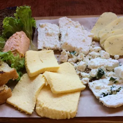 Eco farmsCsiga-Biga “Merry Stable” Farm, Velykyi BereznyiVelykyi Bereznyi23 km from the trailVesela Stainia Csiga-Biga (“The Merry Stable”) is a small family farm in the town of Velykyi Bereznyi in the Uzh valley.
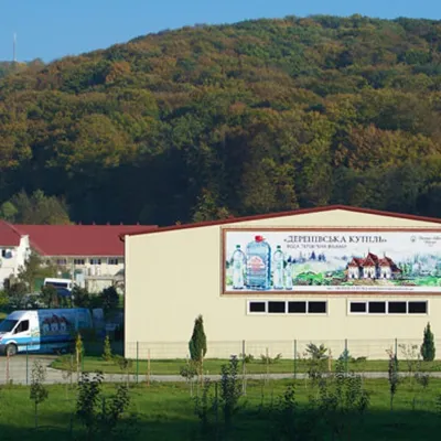 Craft producersDerenivska Kupil mineral water, Nyzhnie Solotvyno24 km from the trailDerenivska Kupil is a mineral water from the wellness resort of the same name in Nyzhnie Solotvyno, about 12 km from Uzhhorod.
