Laborec River
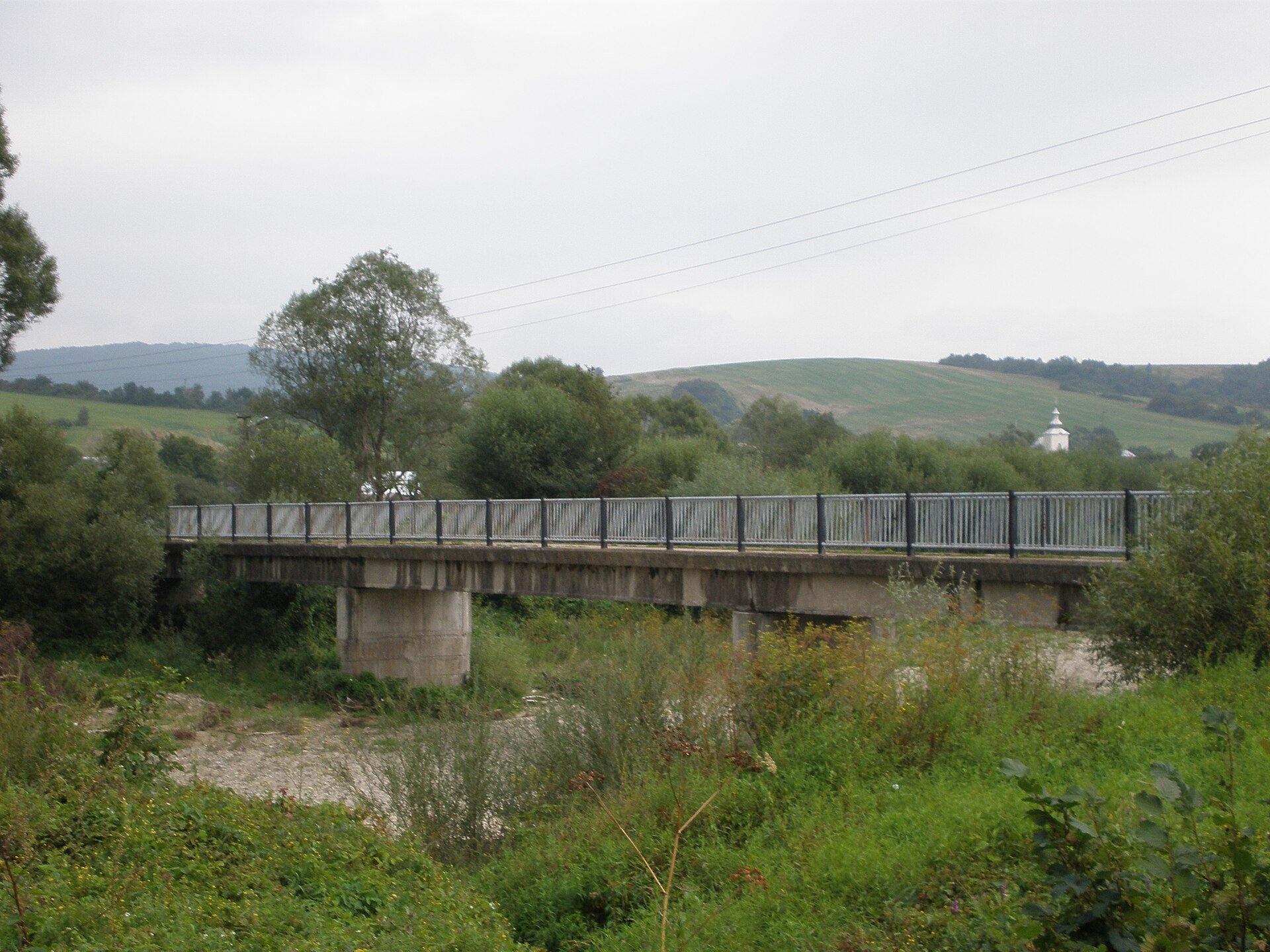
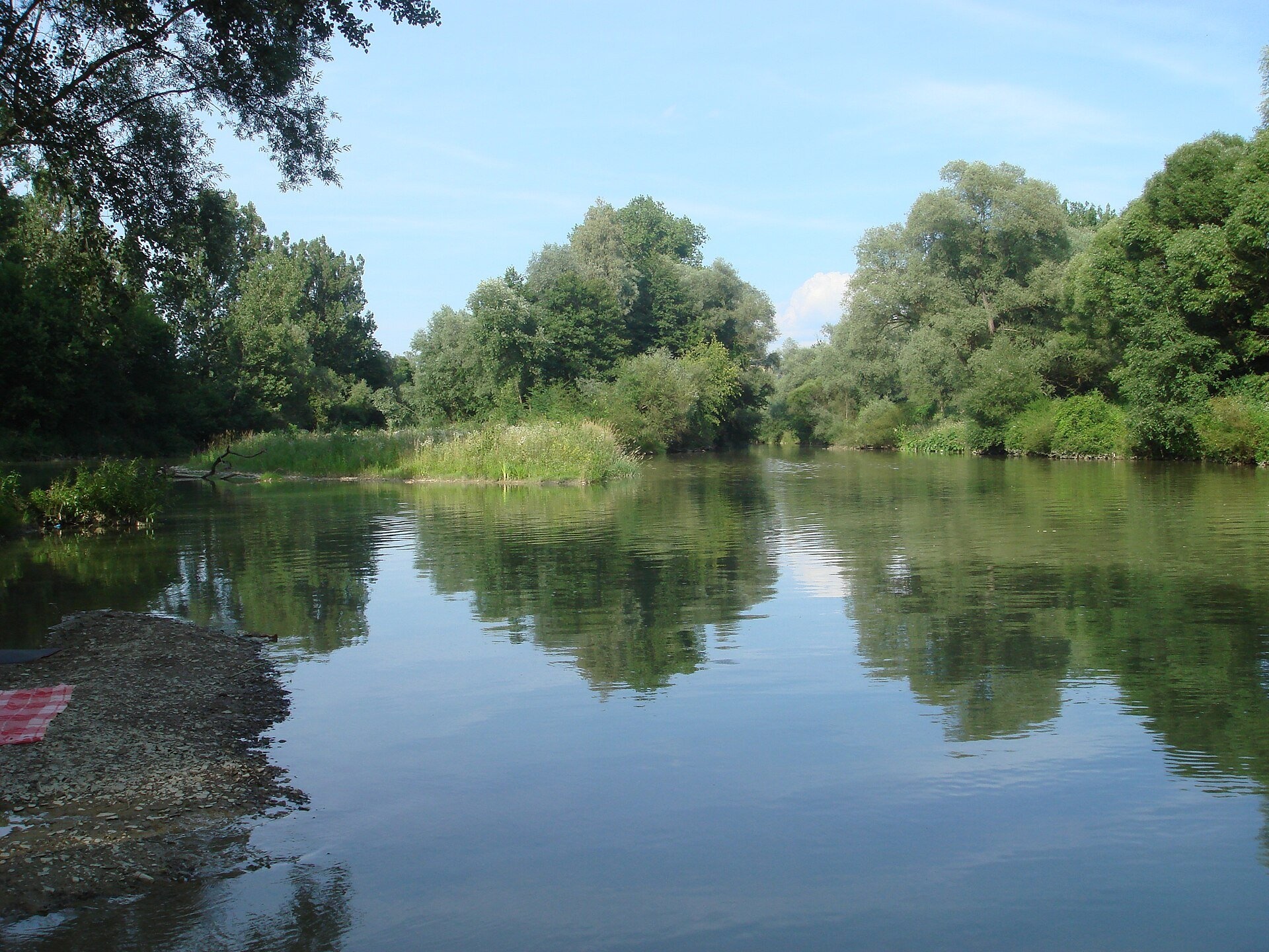
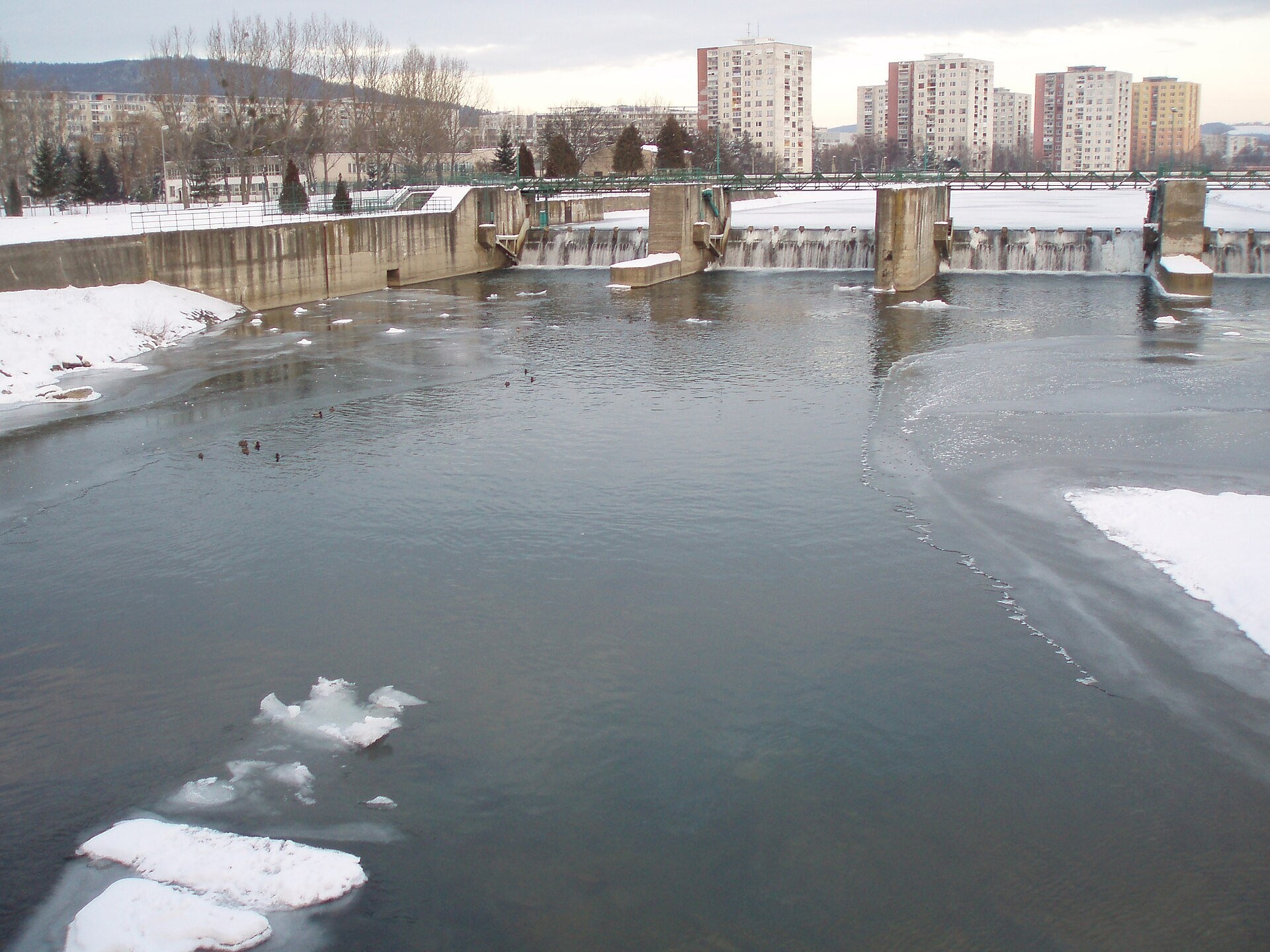
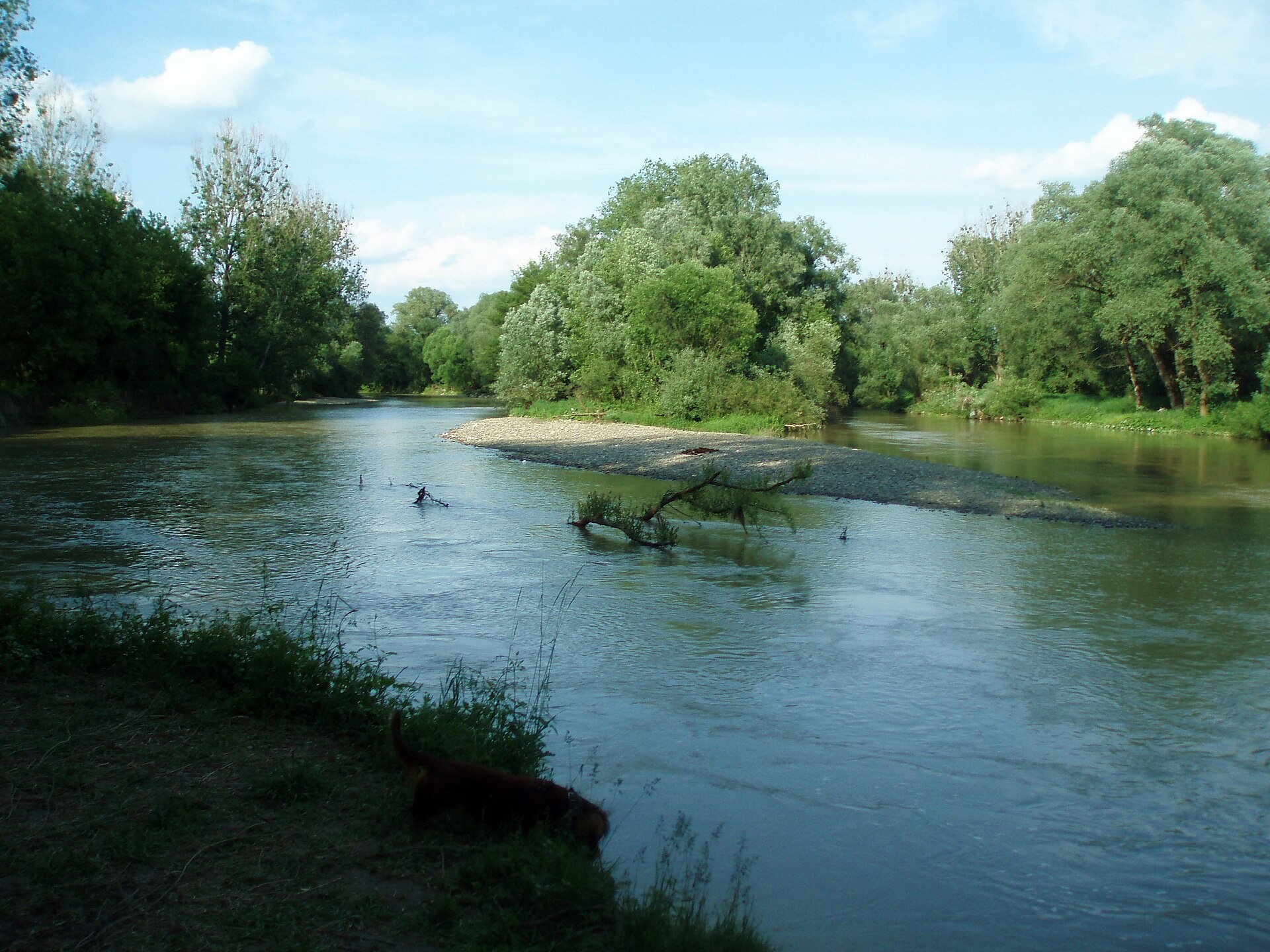
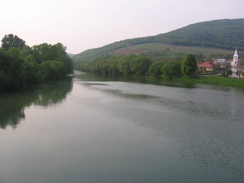
The Laborec is a river in eastern Slovakia, a left-bank tributary of the Latorica in the Bodrog and Tisza basin. It is 129 km long (the introduction of the Slovak encyclopaedia gives 135.5 km, making it the country's tenth-longest river), and its basin covers 4,522.5 km², the fifth largest in Slovakia. The mean flow at the mouth is 54.5 m³/s. The Laborec flows from north to south through almost the whole of Zemplín and is regarded as the symbol of the region: from the Beskid Niski below the Dukla Pass through Medzilaborce, Humenné and Michalovce to the East Slovak Lowland.
The course: from source to mouth
The source of the Laborec lies on the southern slopes of the Beskid Niski, a few kilometres from the Dukla Pass, in the village of Čertižné, at 682 m (Polish sources give 710 m). In 2005 the Slovak water management company placed a memorial stone at the spring, on the initiative of the local forester and historian Miroslav Porada. As a mountain river the Laborec flows south through Medzilaborce, Krásny Brod and Borov, collecting the left-bank Výrava and Udava; above Humenné they and the Cirocha form a fan of streams.
The Cirocha joins the Laborec at Humenné. The river then turns south-west, skirts the Vihorlat from the west, passes Jasenov and Strážske, then flows south again through Michalovce. Here the Laborec's water feeds the Zemplínska šírava reservoir. After a long stretch without tributaries the Laborec receives its largest tributary near Drahňov — the Uh, most of whose basin (1,613 km², 61%) lies in Ukraine's Zakarpattia — and joins the Latorica near Oborín. The basin is very asymmetric: the left part covers 4,076.7 km², the right only 445.8 km², because the Ondava flows parallel to the west of the Laborec.
What to see along the river
- Andy Warhol Museum of Modern Art, Medzilaborce — in the town on the Laborec.
- Krásny Brod Monastery: ruins and pilgrimage site — in the Laborec valley at Krásny Brod.
- Vihorlat Museum and Open-Air Museum, Humenné — in the town near the Cirocha confluence.
- Zemplínska šírava — the “Slovak Sea” below the Vihorlat — the reservoir fed by the Laborec.
The river and people
The river's name is derived from the Indo-European root albh, «white», as in the name of the Elbe (Labe); the Hungarian Slavist of Slovak origin János Melich proposed a Turkic–Bulgar origin, and according to a legend in the anonymous Hungarian chronicle the river is named after the Slavic lord Laborec, who ruled in Uzhhorod at the end of the 9th century. The Laborec valley, which separates the Ondava Upland from the Bukovské vrchy, has been a transport corridor since ancient times: today roads 18, 74 and 559 run here, and from Michalovce to Medzilaborce the Slovenské Nové Mesto – Zagórz railway, the historic First Hungarian-Galician Railway. Below Strážske the river is suitable for easy paddling all year; the more interesting stretch for kayaks is from Radvaň nad Laborcom to Humenné and Strážske, but it needs at least 80 cm on the Koškovce gauge. Over the centuries the bed near Strážske has shifted several kilometres east.
Nature and safety
The Laborec is known for violent floods. Before the Zemplínska šírava was built, together with the Uh and the Čierna voda it repeatedly flooded the Senné depression, forming a temporary «East Slovak Sea» up to 12 km long and 5 km wide — in 1924 the whole village of Senné was under water. In November 1933, after downpours, the Laborec and the Cirocha flooded the surroundings of Humenné within a few hours, forming a lake 2–3 km across, and in Michalovce the level rose 6.3 m above normal. So after heavy rain keep away from the banks on the lower course. Emergency numbers: 112, in the mountains HZS 18 300.
Nearby: peaks, trails, huts
From Humenné the trail Humenné, mesto – Hôrka climbs a hill above the valley, Krivošťany – Jasenov, Castle leads to Jasenov Castle, and east of the river rises Vihorlat.
Photos: Plepo, Public domain, Wikimedia Commons; Ondřej Žváček, CC BY 2.5, Wikimedia Commons; ZemplinTemplar, CC BY-SA 4.0, Wikimedia Commons; No machine-readable author provided. PM assumed (based on copyright claims)., Public domain, Wikimedia Commons; Jan Starec, CC BY-SA 3.0, Wikimedia Commons.
Getting there from Ukraine
Border crossings
- Uzhhorod – Vyšné Nemecké — road, 24/7
- Malyi Bereznyi – Ubľa — road, 24/7 For cars and buses; pedestrians not confirmed by the Ukrainian border service, lorries up to 3.5 t.
- Mali Selmentsi – Veľké Slemence (pedestrian) — pedestrian, 09:00–21:00 Kyiv time Pedestrians and cyclists only; inconvenient for the Tatras without onward transport.
- Chop – Čierna nad Tisou (rail) — rail, 24/7
By car
Lviv – Snina ≈241 km, ≈4 h 20 min without queues: H-13 via Sambir and the Uzhok Pass to Velykyi and Malyi Bereznyi → Malyi Bereznyi – Ubľa checkpoint → road 74 to Snina (≈27 km, ≈30 min from the border). From Uzhhorod: via Vyšné Nemecké (I/19 towards Sobrance, then II/566 and road 74) ≈65 km, ≈1 h 15 min; via Malyi Bereznyi – Ubľa ≈80 km, ≈1 h 40 min, but that crossing is usually less busy.
Checked 23.10.2026; border crossing hours and timetables change — check before you travel.
Location on the map
Comments
Trails nearby
All trails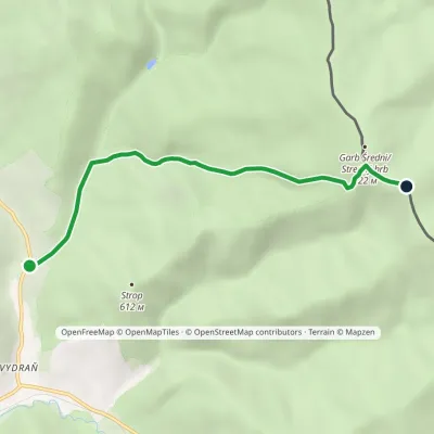 EasyOne-dayMarkedDaňová, junction KomanczaElevation profile393–813 m4.9 kmascent 425 m≈ 2 h walking4.8 km from Laborec River
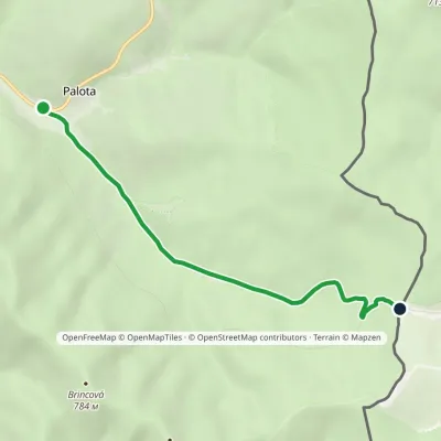 EasyOne-dayMarkedPalota Lupkov PassElevation profile441–646 m5 kmascent 203 m≈ 1.5 h walking6.3 km from Laborec River
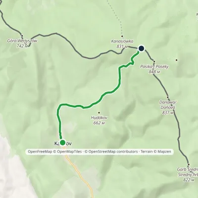 EasyOne-dayMarkedKalinov Pasika / PasekyElevation profile440–811 m5.8 kmascent 394 m≈ 2 h walking6.3 km from Laborec River
Nearby attractions
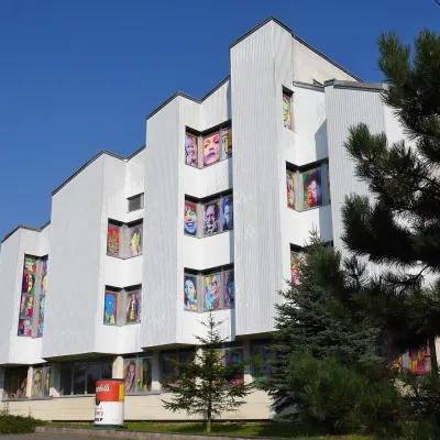 MuseumAndy Warhol Museum of Modern Art, MedzilaborceMedzilaborceunder 1 km from Laborec RiverIt was from here, from the nearby village of Miková, that Andy Warhol’s parents, Julia and Andrej Warhola, emigrated to the USA in the early 20th century.
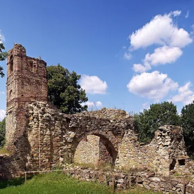 ChurchKrásny Brod Monastery: ruins and pilgrimage siteKrásny Brod4.2 km from Laborec RiverThe Monastery of the Descent of the Holy Spirit near the village of Krásny Brod in the Medzilaborce district is one of the oldest and most important monasteries of the...
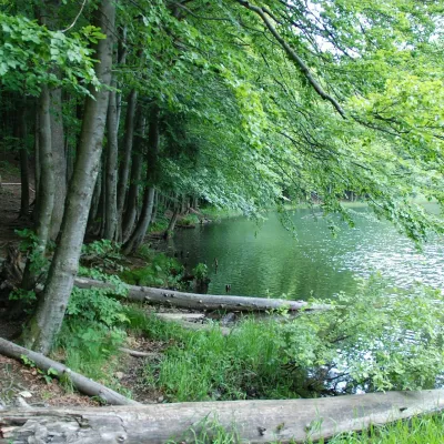 LakeDuszatyn Lakes (Jeziorka Duszatyńskie)Turzańsk20 km from Laborec RiverThe Duszatyn Lakes (Jeziorka Duszatyńskie) are two small landslide lakes on the western slopes of Chryszczata near the former Lemko village of Duszatyn in the...
Craft nearby
All craft places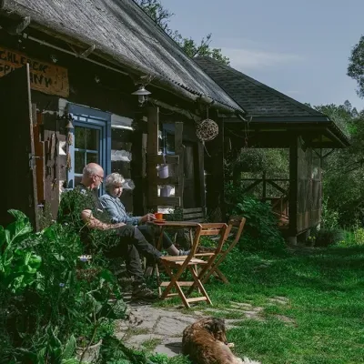 Craft producersBieszczadzkie Smaki, Smolnik: bread, liqueurs, preservesSmolnik15 km from Laborec RiverBieszczadzkie Smaki (“Bieszczady Flavours”) is a family producer of natural foods in the village of Smolnik on the Osława river, Komańcza municipality, on the western...
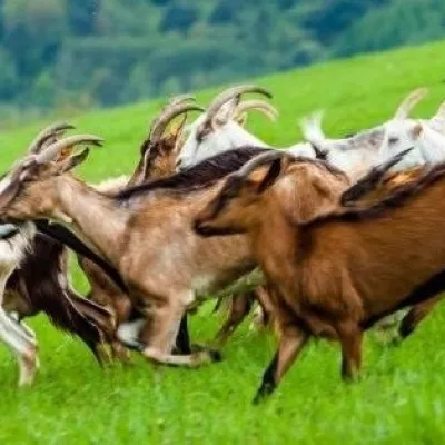 Cheese dairies & pasturesFIGA Organic Goat Cheese Farm, Mszana near DuklaMszana30 km from Laborec RiverThe FIGA organic family farm in the Lemko village of Mszana near Dukla is one of Poland's oldest goat cheese dairies.
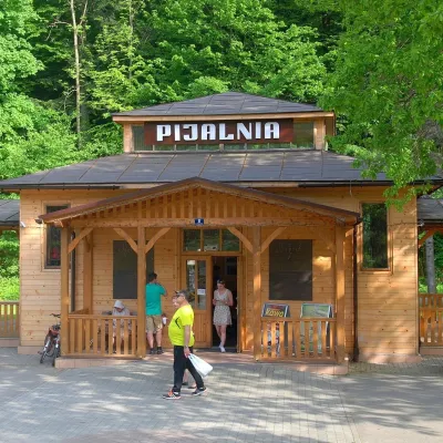 Water parks & thermal poolsRymanów-Zdrój: pump room, Tytus and Klaudia waters, graduation towerRymanów-Zdrój32 km from Laborec RiverRymanów-Zdrój is a spa in the valley of the Tabor river in the Beskid Niski, about 4 km south of the town of Rymanów.
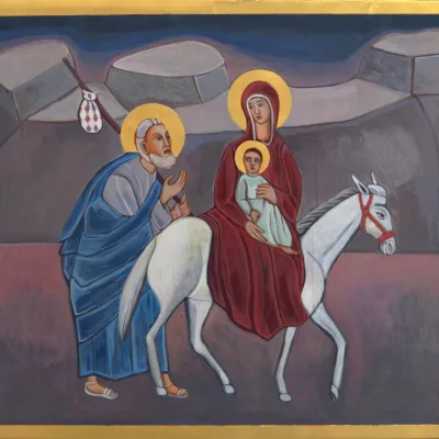 Crafts & workshopsVeraikon Icon Studio, Cisna: Carpathian icons and workshopsCisna32 km from Laborec RiverThe Veraikon Icon Studio (Pracownia Ikon Veraikon) in Cisna is, in its owners' words, the oldest and largest icon studio in the Bieszczady.
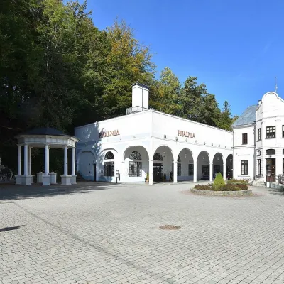 Water parks & thermal poolsIwonicz-Zdrój: mineral-water pump room, pool and salt caveIwonicz-Zdrój34 km from Laborec RiverIwonicz-Zdrój is the largest and oldest spa in the Podkarpackie region, a quiet little town in wooded hills south of Krosno, on the threshold of the Low Beskids.
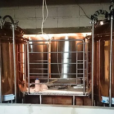 Craft beer & breweriesBrowar Dukla: craft brewery and brewpub on Dukla market squareDukla36 km from Laborec RiverDukla is an old small town at the foot of Mount Cergowa, on the historic trade route from Poland to Hungary over the Dukla Pass.
