Daňová, junction – Komancza
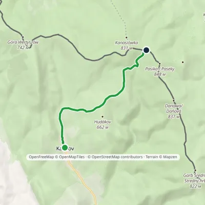
Trail map
Route, springs and shelters: © OpenStreetMap contributors (ODbL) · elevation: Copernicus DEM © DLR e.V., © Airbus DS · Data & licences
About the trail
Route Daňová, junction – Komancza. Has green marking (regional route №5793, KST). Waymarking data: OpenStreetMap (© OpenStreetMap contributors, ODbL).
Officially marked regional tourist route No. 5793. The marking is green, the sign is a horizontal stripe on a white background. Marked and maintained by: KST. Length of the route — 4.9 km. Location: mountain range — Nizky Beskid, Slovakia.
At a glance
A short route of 4.9 km with 425 m of ascent from Daňová, junction to Komancza. Estimated walking time: about 2 h, not counting stops. Difficulty: easy. Waymarking: green.
Route stages
- 0–2 kmGentle ups and downs at 390–490 m
- 2–4 kmClimb of 300 m (up to 786 m)
- 4–5 kmGentle ups and downs at 780–810 m
Steepest kilometre: km 2.5–3.5, a climb of 150 m (≈15%).
Water and overnight stays
A spring near the trail: at km 0.5.
When to go
The route can be walked most of the year; it is most comfortable from April to October.
Getting there
Start: Daňová, junction. This is a one-way route: the finish is 4 km from the start in a straight line, so plan your way back in advance.
FAQ
- How long does the route take?
- Estimated walking time: about 2 h, not counting stops.
- Is there water on the route?
- A spring near the trail: at km 0.5.
Water and shelter on the route
- Spring below Stropkm 0.5 from the start · Not verified · 411 m
Comments
Trails nearby
All trails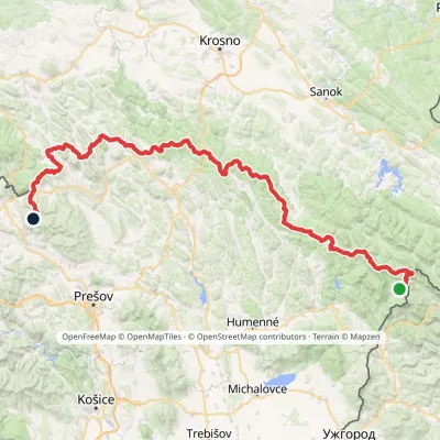
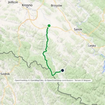
Craft nearby
All craft places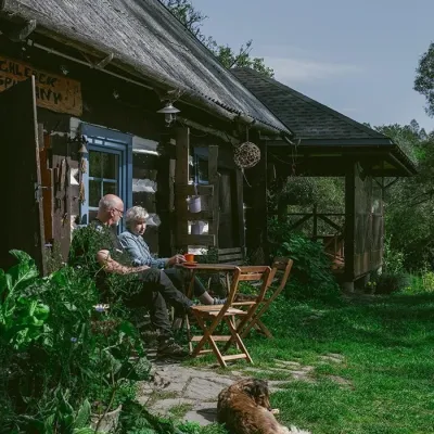 Craft producersBieszczadzkie Smaki, Smolnik: bread, liqueurs, preservesSmolnik14 km from the trailBieszczadzkie Smaki (“Bieszczady Flavours”) is a family producer of natural foods in the village of Smolnik on the Osława river, Komańcza municipality, on the western...
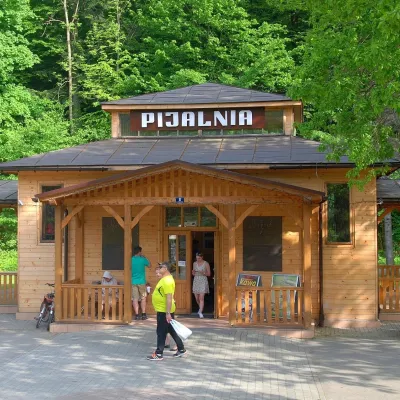 Water parks & thermal poolsRymanów-Zdrój: pump room, Tytus and Klaudia waters, graduation towerRymanów-Zdrój28 km from the trailRymanów-Zdrój is a spa in the valley of the Tabor river in the Beskid Niski, about 4 km south of the town of Rymanów.
 Cheese dairies & pasturesFIGA Organic Goat Cheese Farm, Mszana near DuklaMszana28 km from the trailThe FIGA organic family farm in the Lemko village of Mszana near Dukla is one of Poland's oldest goat cheese dairies.
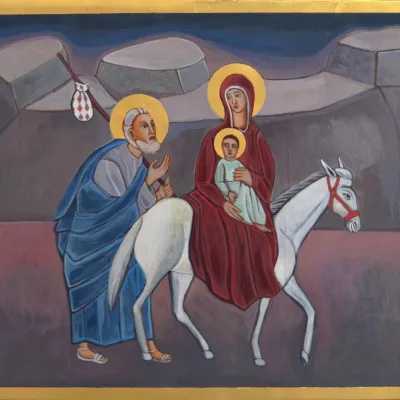 Crafts & workshopsVeraikon Icon Studio, Cisna: Carpathian icons and workshopsCisna31 km from the trailThe Veraikon Icon Studio (Pracownia Ikon Veraikon) in Cisna is, in its owners' words, the oldest and largest icon studio in the Bieszczady.
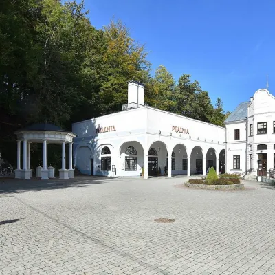 Water parks & thermal poolsIwonicz-Zdrój: mineral-water pump room, pool and salt caveIwonicz-Zdrój31 km from the trailIwonicz-Zdrój is the largest and oldest spa in the Podkarpackie region, a quiet little town in wooded hills south of Krosno, on the threshold of the Low Beskids.
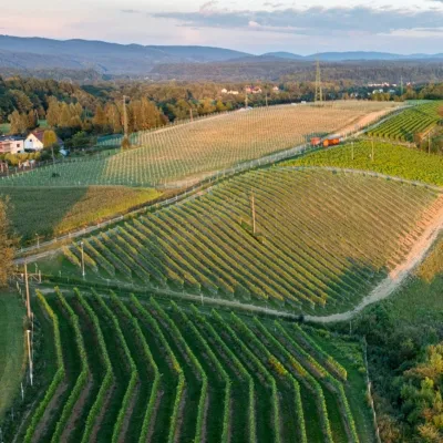 Wine & tastingsWinnica Kmiecia in Zahutyń near Sanok: tastings and eventsZahutyń33 km from the trailWinnica Kmiecia is a young winery in the village of Zahutyń between Sanok and Zagórz, where the Low Beskids meet the Bieszczady.
