Kohút
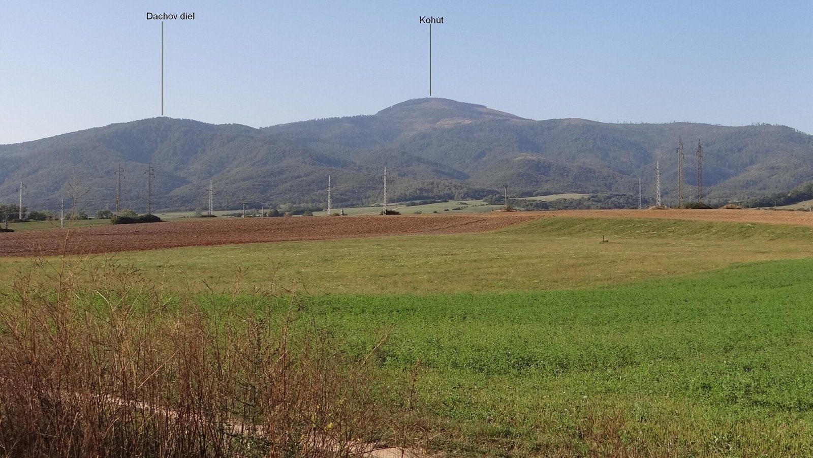
Kohút (Slovak for "rooster"; Hungarian Kakas) is the second-highest peak of the Stolica Mountains (Stolické vrchy), part of the Slovak Ore Mountains, at 1409 m. Only Stolica (1476 m), about 5 km to the north-east, is higher. Kohút lies in the northern, highest part of the range, on the main ridge that runs south-west via Faltenov vrch (1338 m). It rises above the village of Muránska Zdychava, about 6 km north-east of the town of Revúca. The summit carries the border between the Banská Bystrica and Košice Regions and the Revúca and Rožňava Districts, and extends into the cadastres of Revúca and Čierna Lehota. Around it lie Muránska Zdychava to the west (about 3 km), Revúčka and Revúca to the south-west, Mokrá Lúka, Revúcka Lehota, Chyžné and Magnezitovce to the south, Čierna Lehota and Slavošovce to the east, Rejdová to the north-east and Muránska Huta to the north-west.
A side ridge runs south-south-west from the summit and ends in the broad, branching top of Dachov diel (933 m). Indistinct at first, it later forms a clear ridge with rock outcrops. About 1 km from the main summit lies the flattening of Malý Kohút (1192 m), crossed by broad forest roads and hiking trails.
How to get there / routes
The summit can be reached from all sides:
- Green trail – the Pavol Jozef Šafárik Trail: from the north from Stolica via Faltenovo sedlo, from the south from Jelšava via sedlo Kohúta; another green trail leads from the village of Chyžné via sedlo Kohúta.
- Blue trail: from the south-west from Revúca via sedlo Kohúta; from Revúčka via the junction by the Parajka hut; from the east from Čierna Lehota via Faltenovo sedlo.
- Red trail: from Muránska Zdychava via Faltenovo sedlo, then green.
What you can see from the top
The summit is covered with sparse forest through which part of the surroundings can be seen. In good conditions you can see many peaks of the Stolica Mountains, the Volovské vrchy, the Revúca Highlands, the Spiš-Gemer Karst, the Low Tatras and part of the High Tatras. The best view is from Klepaná skala on the southern spur, less than 100 m below Malý Kohút: this rock step looks south, west and north-west towards Tŕstie, Klenovský Vepor, Fabova hoľa and the rocky southern slopes of the Muránska planina plateau, dominated by Kľak. It has a metal Slovak double cross and a wooden shelter with a table and bench.
Nature and history
Kohút is completely forested. Slightly below the summit on the southern slopes there used to be a large mountain pasture, now overgrown with young forest. The rare annual stonecrop (Sedum annuum) grows in the massif. The western slopes drain via the Pstružný and Zdychavský streams to the Zdychava, the eastern ones via the Jakuška and Lazárka to the Štítnik river, all in the Slaná basin. The summit is part of the Stolica protected area.
Safety, season and rules
The routes to Kohút are long and wooded, and there are no services on the summit – carry water, food and a map or navigation. After windstorms the paths may be blocked by fallen trees. In winter the forest is deep in snow, so snowshoes or skis are needed. In the protected area stay on marked trails. Slovak Mountain Rescue Service (HZS): 18 300 (+421 18 300); general emergency number 112.
Interesting facts
- The same green Pavol Jozef Šafárik Trail continues via Faltenovo sedlo to the highest peak of the range, Stolica (1476 m).
- The mountain's name means "rooster" in both Slovak and Hungarian.
- Klepaná skala with its double cross is the best viewpoint of the massif.
Photos: Jerzy Opioła, CC BY-SA 4.0 — Wikimedia Commons.
Getting there from Ukraine
Border crossings
- Uzhhorod – Vyšné Nemecké — road, 24/7
- Malyi Bereznyi – Ubľa — road, 24/7 For cars and buses; pedestrians not confirmed by the Ukrainian border service, lorries up to 3.5 t.
- Mali Selmentsi – Veľké Slemence (pedestrian) — pedestrian, 09:00–21:00 Kyiv time Pedestrians and cyclists only; inconvenient for the Tatras without onward transport.
- Chop – Čierna nad Tisou (rail) — rail, 24/7
By car
From Uzhhorod ≈182 km, ≈2 h 45 min without queues: Uzhhorod – Vyšné Nemecké → I/19 via Sobrance and Michalovce to Košice → D1 motorway via Prešov to the exit near Levoča → road 533 to Spišská Nová Ves (≈177 km, ≈2 h 30 min from the border). From Lviv via Uzhok and Ubľa ≈407 km, ≈6 h 40 min; through Poland (Kraków – Nowy Targ) ≈496 km, ≈6 h 20 min. The D1 requires an e-vignette (eznamka.sk).
Checked 23.10.2026; border crossing hours and timetables change — check before you travel.
Location on the map
Water and shelter nearby
- Spring below Klepaná skala (north slope)660 m · Not verified · 1 187 m
- Spring below Kohút (north-west slope)810 m · Not verified · 1 135 m
- Spring below Klepaná skala (north-west slope)850 m · Not verified · 1 145 m
- Hut below Klepaná skala1.8 km · Not verified · 964 m
- Spring below Faltenov vrch (east slope)2.1 km · Not verified · 982 m
- Hut below Faltenov vrch2.2 km · Not verified · 1 146 m
- Spring below Faltenov vrch (north slope)2.8 km · Not verified · 1 304 m
- Spring below Faltenov vrch (north-east slope)2.9 km · Not verified · 1 275 m
Comments
Trails nearby
All trails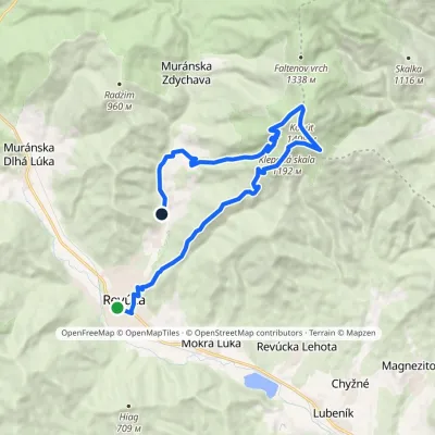 ModerateTwo-dayMarkedRevúca RevúčkaElevation profile317–1 409 m18.3 kmascent 1 111 m≈ 7 h walkingunder 1 km from Kohút
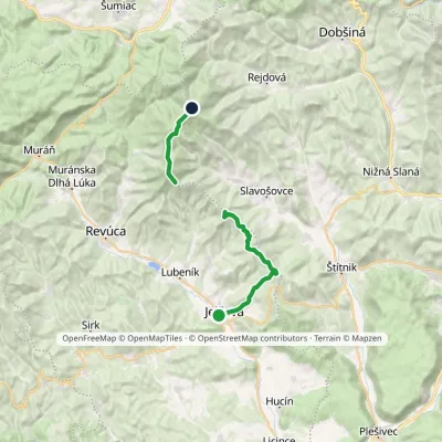 HardTwo-dayMarkedPavol Jozef Šafárik Trail: Jelšava StolicaElevation profile256–1 479 m21.5 kmascent 1 767 m≈ 9 h walkingunder 1 km from Kohút
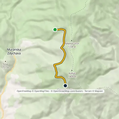 EasyOne-dayMarkedMalý Kohút Skalica, hunting hutElevation profile1 100–1 193 m4.5 kmascent 173 m≈ 1.5 h walkingunder 1 km from Kohút
Nearby attractions
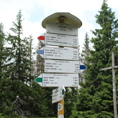 PeakStolicaMuránska Zdychavaaltitude 1 476 m5.1 km from Kohút4 trails to the topStolica (Hungarian Sztolica) is the highest peak of the Stolické vrchy and of the entire Slovak Ore Mountains at 1,476 m.
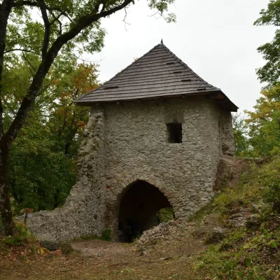 CastleMuráň CastleMuráň9.6 km from KohútMuráň Castle (Muránsky hrad, officially Muráň) is the ruin of a medieval castle on the summit of Cigánka (935 m) at the southern edge of the Muránska planina plateau,...
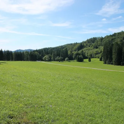 Mountain meadowVeľká lúka on Muránska planinaMuráňaltitude 887 m9.8 km from KohútVeľká lúka («the Great Meadow») is a huge mountain meadow on the limestone Muránska planina plateau north of the village of Muráň, in the south-eastern part of the...
Craft nearby
All craft places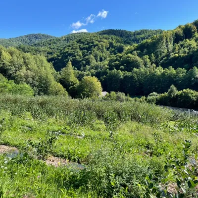 Eco farmsČučoriedková záhrada: pick-your-own blueberries and aronia juiceRatkovské Bystré14 km from KohútHere in 2010 the owners’ family planted the first Canadian blueberry bushes on a small plot — and gradually grew them into the Čučoriedková záhrada (Blueberry Garden).
 Cheese dairies & pasturesSalaš Zbojská: sheep’s cheese, bryndza and žinčica on the passTisovec24 km from KohútThe Zbojská pass lies at about 740 metres in the forests between Brezno and Tisovec, on the edge of the Hron valley and the Muránska planina plateau.
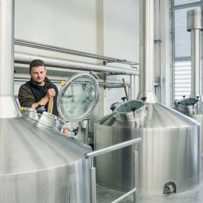 Craft beer & breweriesKaltenecker Brewery, Rožňava: Gemer craft beer from the sourceRožňava28 km from KohútThe modern Kaltenecker brewery was founded in 1997, and from the start it took a different path from the big breweries of the day: instead of one-size-fits-all beer, a...
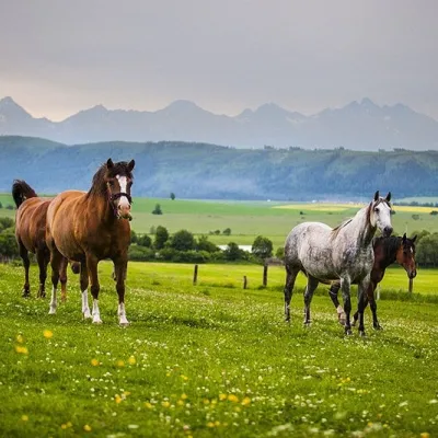 Horse ridingRanč u Trapera, Podlesok: Horse Rides in the Slovak ParadiseHrabušice30 km from KohútA little away from the main tourist bustle, below the forest, stands the family-run Ranč u Trapera, run by the Salaj family.
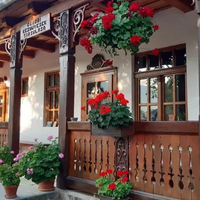 Markets & fairsGemer Craft Fair at Krásnohorská Dlhá Lúka below Krásna HôrkaKrásnohorská Dlhá Lúka31 km from KohútKrásnohorská Dlhá Lúka is a village below Krásna Hôrka castle, a few kilometres from Rožňava. In 2002 the Association of Gemer Craftsmen (Združenie gemerských...
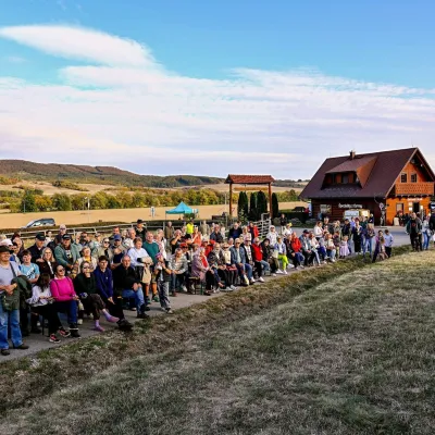 Cheese dairies & pasturesSalaš pod Maginhradom: Gemer sheep’s cheese and the Mitrovanie feastVeľké Teriakovce36 km from KohútAcross the road rises Maginhrad hill: in the 15th century a castle stood there that served as a Hussite fortress, and the Romantic poet Ján Botto dedicated a ballad to...
