Somár
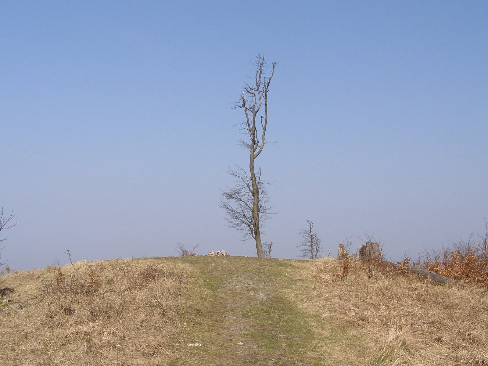
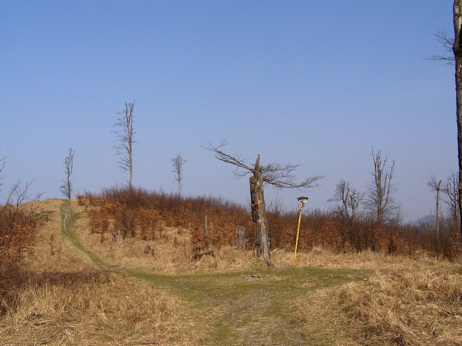
Somár (Slovak for "donkey") is a 650 m summit in the Little Carpathians, the highest in the south-western part of the range. It rises above the village of Limbach, about 7 km west of the town of Pezinok, in the Bratislava Region, on the boundary of Malacky and Pezinok districts. The western part of the mountain belongs to the Záhorie military district, the eastern part to Limbach. The nearest settlements are Limbach and Pezinok to the east, Svätý Jur to the south-east, Jablonové to the north-west and Stupava to the west. Pezinská Baba and Limbach are each about 7 km away.
Somár lies on the main ridge of the Little Carpathians, which runs from the Baba saddle in the north to Veľký Javorník (594 m). It belongs to the Pezinok Carpathians, in their Homoľské Karpaty part. Around it rise Banské (531 m) to the west, Turecký vrch (538 m) and Hrubý vrch (564 m) to the north, Tri kamenné kopce (584 m) to the east, and Malý Javorník (604 m) and Volhovisko (587 m) to the south. The summit sits on a watershed: the northern and western slopes drain via the Stupavský potok to the Malina in the Morava basin, the south-eastern ones via the Račí potok into the Little Danube basin. The mountain lies in the Little Carpathians Protected Landscape Area.
How to get there / routes
The red Štefánik trail (Štefánikova magistrála), shared here with the European path E8 and the SNP Heroes' Trail, crosses the eastern part of the summit plateau.
- From the north – from Pezinská Baba via Konské hlavy and Tri kamenné kopce.
- From the south – from the Biely kríž junction via the Salaš junction.
- From the south-east – blue trail from Limbach via Tri kamenné kopce.
The sources give no walking times; the routes are wooded and easy.
What you can see from the top
The summit is covered by low mountain-meadow vegetation that turns into broken forest, so the view is almost all-round. You see the whole south-western Little Carpathians as far as the TV tower on Kamzík, the Záhorie (Borská) and Danube lowlands and, in good conditions, the foothills of the Alps, Považský Inovec, Vtáčnik and Tribeč.
Nature and history
The summit is a grassy plateau with a fireplace. Trees once covered the hill, and only remnants of them are left; today it is overgrown with tall grasses, and the surroundings are dominated by young broadleaved trees and self-seeded scrub.
Safety, season and rules
The routes to Somár are easy and open all year. Part of the mountain lies in the Záhorie military district – keep to the marked trails. In the Protected Landscape Area light fires only where permitted and take your litter home. Slovak Mountain Rescue Service (HZS): 18 300 (+421 18 300) or 112.
Interesting facts
- Three long-distance routes cross the summit at once: the Štefánik trail, the E8 and the SNP Heroes' Trail.
- Water from the hill flows both to the Morava and to the Little Danube.
Photos: Lure, CC BY-SA 4.0; Lure, CC BY-SA 4.0 — Wikimedia Commons.
Getting there from Ukraine
Border crossings
- Uzhhorod – Vyšné Nemecké — road, 24/7
- Malyi Bereznyi – Ubľa — road, 24/7 For cars and buses; pedestrians not confirmed by the Ukrainian border service, lorries up to 3.5 t.
- Mali Selmentsi – Veľké Slemence (pedestrian) — pedestrian, 09:00–21:00 Kyiv time Pedestrians and cyclists only; inconvenient for the Tatras without onward transport.
- Chop – Čierna nad Tisou (rail) — rail, 24/7
By car
Uzhhorod – Poprad ≈195 km, ≈2 h 55 min without queues: Uzhhorod – Vyšné Nemecké checkpoint → I/19 via Sobrance and Michalovce → Košice → D1 motorway via Prešov → Poprad (Liptovský Mikuláš is ≈56 km further on the D1, total ≈249 km). Košice – Poprad ≈112 km. The D1 requires an e-vignette (eznamka.sk). Note: from Lviv the fastest way to Poprad is through Poland — Krakovets – A4 – Kraków – Zakopane – Łysa Polana ≈468 km (≈5 h 50 min); via Uzhok and Malyi Bereznyi ≈419 km but slower (≈6 h 40 min). Zakopane – Poprad ≈69 km, Zakopane – Liptovský Mikuláš ≈80 km.
Checked 23.10.2026; border crossing hours and timetables change — check before you travel.
Location on the map
Water and shelter nearby
- Spring below Prostredný vrch (south-west slope)1.5 km · Not verified · 532 m
- Spring below Volhovisko (north-east slope)1.6 km · Not verified · 531 m
- Spring below Volhovisko (east slope)1.8 km · Not verified · 561 m
- Penovcový Spring1.9 km · Not verified · 461 m
- Limbašska Spring2 km · Not verified · 364 m
- Spring below Tri chotáre (north-east slope)2.2 km · Not verified · 342 m
- Spring below Štyri bučky2.4 km · Not verified · 454 m
- Šenkárka 01 Spring2.6 km · Not verified · 491 m
- Šenkárka 02 Spring2.6 km · Not verified · 501 m
- Spring below Volhovisko (west slope)2.6 km · Not verified · 475 m
- Spring below Žľaby (south slope)2.7 km · Not verified · 356 m
- Spring below Tri chotáre (south slope)2.7 km · Not verified · 501 m
Comments
Trails nearby
All trails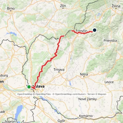 HardMulti-dayMarkedHrad Devín, parking Horná Poruba, U BrdárovElevation profile146–965 m190.1 kmascent 7 200 munder 1 km from Somár
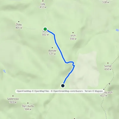 EasyOne-dayMarkedSkala PrepadléElevation profile457–553 m2.4 kmascent 45 m≈ 45 min walking1.1 km from Somár
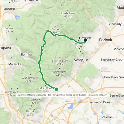 ModerateTwo-dayMarkedRača Limbach, PDElevation profile153–577 m21.8 kmascent 629 m≈ 6.5 h walking1.3 km from Somár
Nearby attractions
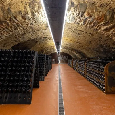 Wine & tastingsVIAJUR winery in Svätý Jur: tastings in the Pálffy cellarsSvätý Jur7.3 km from SomárWine in old cellars on the edge of Bratislava Svätý Jur is an old wine town at the very foot of the Little Carpathians, just beyond the Bratislava city limits.
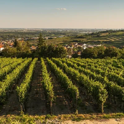 Wine & tastingsDubovský & Grančič Winery, Svätý Jur: tastings and sektSvätý Jur8.1 km from SomárFrom sixty ares to “Winemaker of the Year” Svätý Jur is an old wine town on the southern slopes of the Little Carpathians, just beyond the Bratislava city limits.
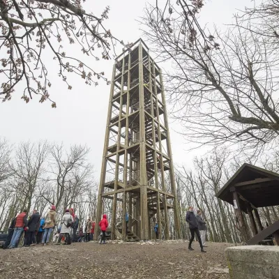 PeakVeľká homoľaModraaltitude 709 m9.9 km from SomárVeľká homoľa is a summit 709 m high in the Little Carpathians (Malé Karpaty), in their Pezinok Carpathians part (Homoľské Karpaty).
Craft nearby
All craft places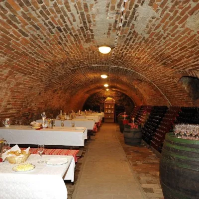 Wine & tastingsHACAJ winery in Pezinok: sparkling wine in a 300-year-old cellarPezinok8.9 km from SomárPezinok is the centre of the Little Carpathian Wine Route, a town where winegrowers’ houses with deep cellars line the old streets.
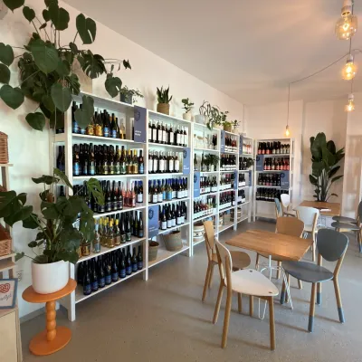 Wine & tastingsJuran z Modry winery: tastings in a Modra wine shopModra12 km from SomárModra is one of the main wine towns of the Little Carpathians: every other courtyard has its own cellar, and rows of vines climb the slopes above the town.
 Crafts & workshopsSlovak Folk Majolica in Modra: pottery tour and paintingModra12 km from SomárModra is a small wine town on the eastern slopes of the Little Carpathians, half an hour’s drive from Bratislava.
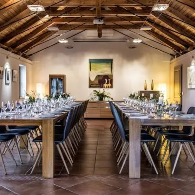 Wine & tastingsKarpatská Perla winery in Šenkvice: tastings and cellarŠenkvice15 km from SomárFrom a home cellar to Winery of the Year Šenkvice is a wine village on the plain below the eastern slopes of the Little Carpathians, between Pezinok and Modra.
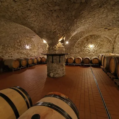 Wine & tastingsMagula Winery, Suchá nad Parnou: biodynamic wines and a farmSuchá nad Parnou29 km from SomárSuchá nad Parnou is a wine village on the south-eastern slopes of the Little Carpathians, near Trnava.
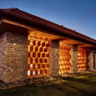 Honey & meaderiesVčelovina meadery, Smolenice: mead and honey beerSmolenice31 km from SomárThis is where the Včelovina meadery works — “a small production with a big heart”, as its founders put it.
