Mních
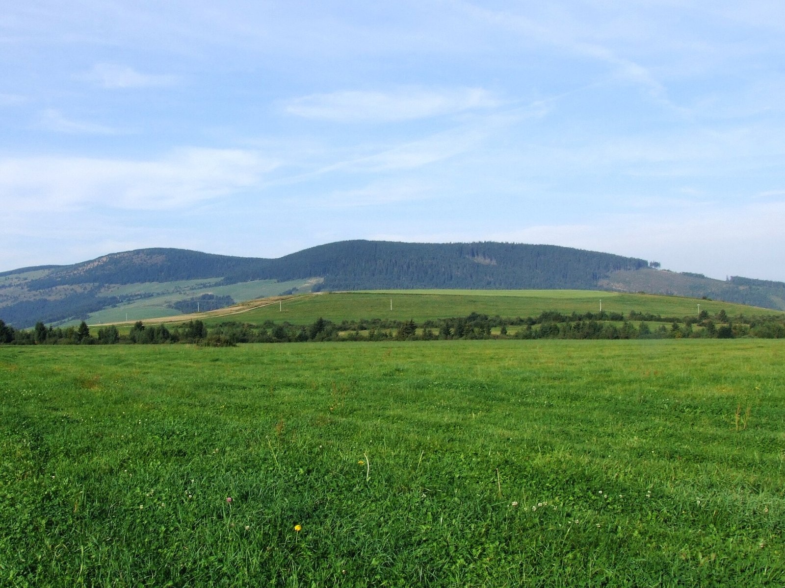
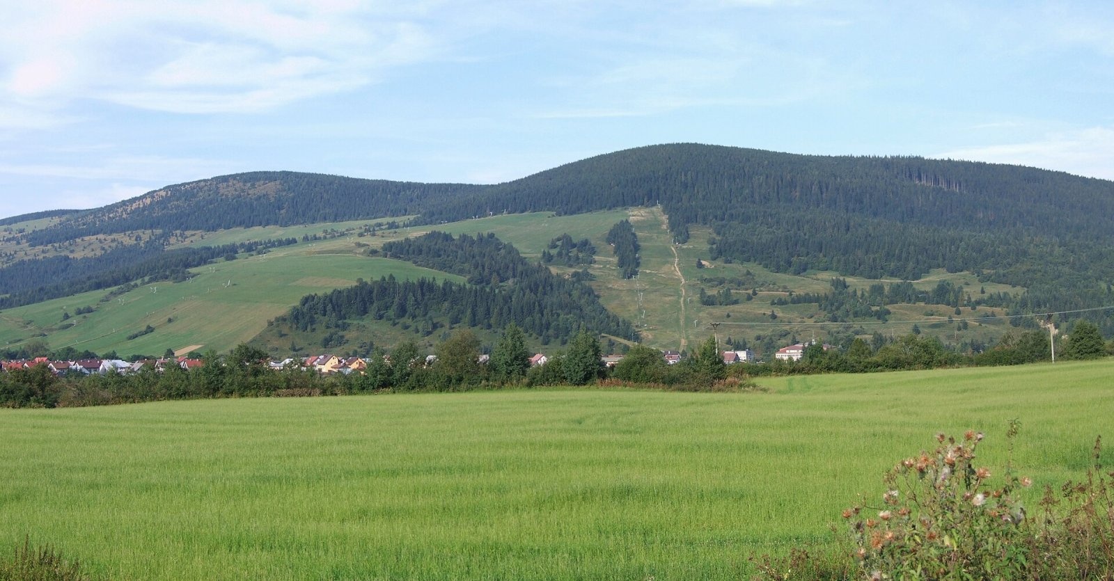
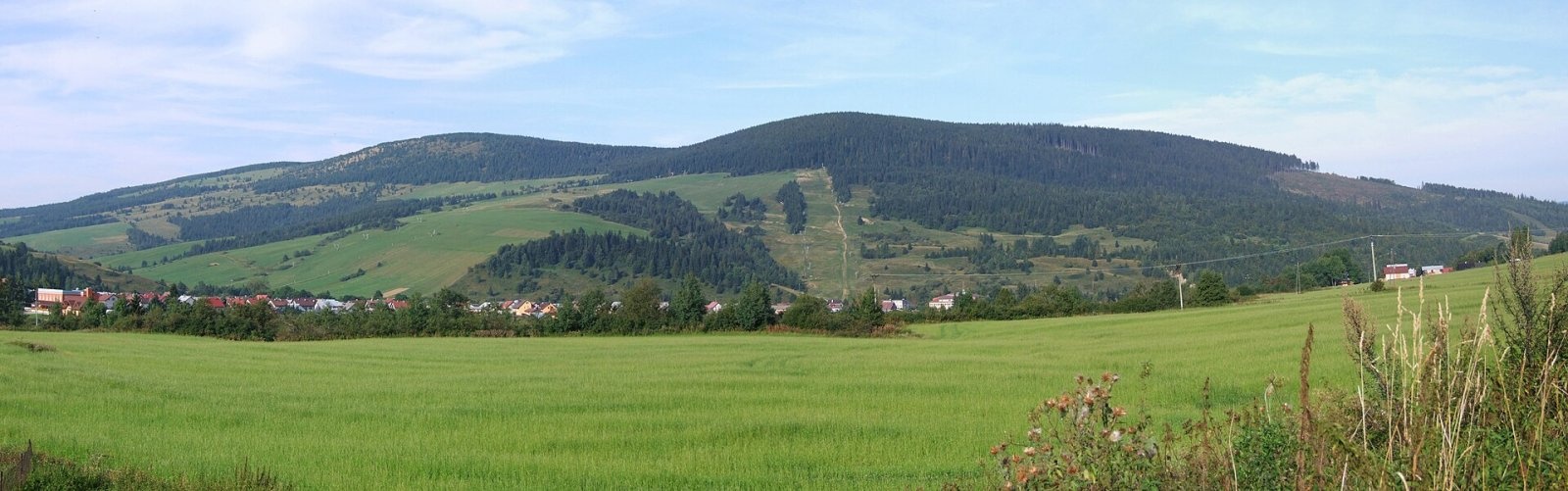
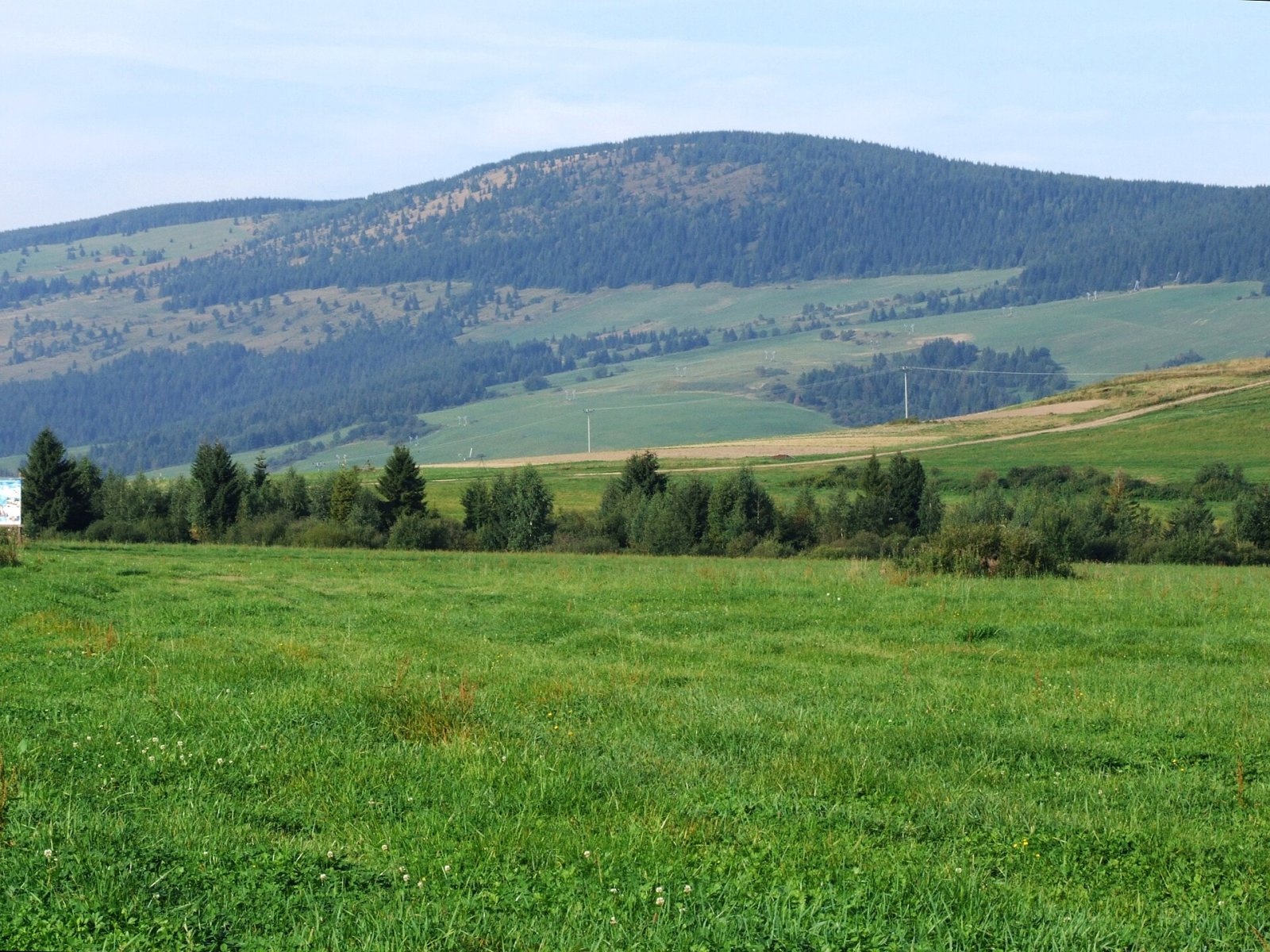
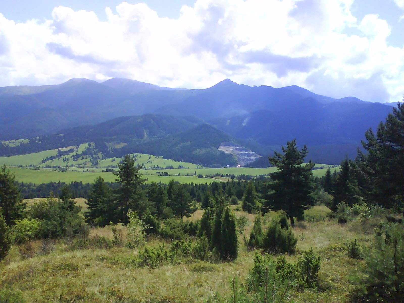
Mních is a summit 1110 m high in the Skorušina Mountains (Skorušinské vrchy) in Orava, Slovakia, in their Kopec subunit. It rises above the village of Zuberec, about 8 km south of the town of Tvrdošín, in the Žilina Region. Mních stands above three villages — Zuberec, Habovka and Oravský Biely Potok — and together with neighbouring Machy (1202 m) is clearly visible from the valley leading to the Western Tatras. A ridge starts at Mních and runs south-west to Kopec (1251 m); on the summit itself the crest bends in an arc. Placing the hill in the Skorušina Mountains follows the Slovak geographical division; in the Polish regionalisation by Jerzy Kondracki the Skorušina Mountains begin only north and east of the Oravica river, so Polish sources sometimes place Mních in the Orava foothills.
Getting there / routes
- Red along the main ridge (KST 0847): from the north from Oravský Biely Potok to Mních and on via Machy, the Prieková saddle and Kopec to Malé Borové.
- Red from the south-west from Malé Borové via Machy.
- Blue: from Zuberec via Machy.
The routes are easy and lead mostly through forest and meadows; Mních combines well with Machy in a loop from Zuberec.
What you can see from the summit
The summit itself is covered by continuous forest, so there is no all-round panorama. The slopes, however, carry large mountain meadows, and from open places you can see the surrounding Skorušina and Choč Mountains and the Western Tatras, and in good conditions the Malá Fatra, Orava Magura and the Orava Beskids.
Nature and history
The south-eastern and north-eastern slopes of Mních fall to the valleys of the Zuberec stream and the Studený potok, the south-western ones to the Malý potok; the whole massif belongs to the Orava basin. Neighbouring summits are Biedna (965 m) to the north, Bane (943 m) and Turínok (1004 m) to the west, Machy and Kopec to the south-west, Biela skala (1316 m) to the south, and Javorková (1141 m) and Štít (1310 m) to the east.
Open meadows reach high up the slopes from the villages. There used to be fields here too, but most of the meadows are no longer used and are gradually being overgrown by forest. Four ski lift areas work on the slopes of Mních: the Milotín and Janovky centres in Zuberec and two lifts in Habovka, including the Ruba centre. So in winter the hill is better known to skiers than to walkers.
Safety, season and rules
The Skorušina Mountains are not part of the Tatra high mountains, so TANAP’s seasonal closure of high-mountain trails does not apply here; stay on marked trails and respect the pastures. In winter do not cross ski runs outside permitted places. On the lonely ridge carry water and a map. Slovak Mountain Rescue Service (HZS): 18 300 (+421 18 300), general emergency number 112.
Photos: Jerzy Opioła, CC BY-SA 4.0; Jerzy Opioła, CC BY-SA 4.0; Jerzy Opioła, CC BY-SA 4.0; Jerzy Opioła, CC BY-SA 4.0; Branik P, CC BY-SA 3.0 — Wikimedia Commons.
Getting there from Ukraine
Border crossings
- Uzhhorod – Vyšné Nemecké — road, 24/7
- Malyi Bereznyi – Ubľa — road, 24/7 For cars and buses; pedestrians not confirmed by the Ukrainian border service, lorries up to 3.5 t.
- Mali Selmentsi – Veľké Slemence (pedestrian) — pedestrian, 09:00–21:00 Kyiv time Pedestrians and cyclists only; inconvenient for the Tatras without onward transport.
- Chop – Čierna nad Tisou (rail) — rail, 24/7
By car
From Uzhhorod ≈275 km, ≈3 h 35 min without queues: Uzhhorod – Vyšné Nemecké → I/19 to Košice → D1 motorway via Prešov, Poprad and Liptovský Mikuláš to Ružomberok (≈270 km, ≈3 h 25 min from the border). From Lviv it is faster through Poland: M-10 → Krakovets – Korczowa → A4 to Kraków → S7/DK7 to the Chyżne – Trstená border → R3 and I/59 via Dolný Kubín to Ružomberok: ≈482 km, ≈6 h 15 min (via Uzhok and Ubľa ≈500 km, ≈7 h 30 min). The D1 requires an e-vignette (eznamka.sk).
Checked 23.10.2026; border crossing hours and timetables change — check before you travel.
Location on the map
Comments
Trails nearby
All trails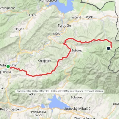 HardMulti-dayMarkedDolný Kubín Junction under UmrláElevation profile476–1 314 m56.6 kmascent 2 149 munder 1 km from Mních
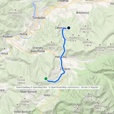 ModerateOne-dayMarkedPrieková ZábiedovoElevation profile679–1 170 m12.8 kmascent 355 m≈ 4 h walking1.6 km from Mních
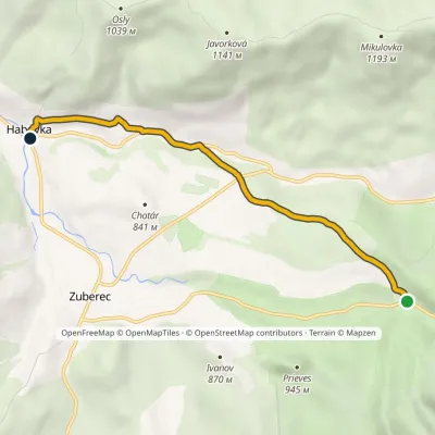 EasyOne-dayMarkedHabovka, Pod Klimkovým vŕškom Skanzen BrestováElevation profile715–927 m5.6 kmascent 61 m≈ 1.5 h walking2 km from Mních
Nearby attractions
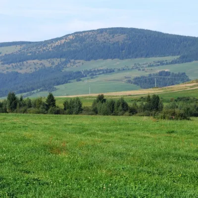 PeakMachyOravský Biely Potokaltitude 1 202 m1.5 km from MníchMachy is a 1202 m summit in the Skorušina Mountains in Orava, northern Slovakia. It rises above the village of Zuberec, about 8 km south of Tvrdošín, in the central...
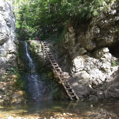 WaterfallRáztocký waterfall and the Oblazy mills (Kvačianska valley)Kvačany8.2 km from MníchThe Ráztocký waterfall (Ráztocký vodopád) is an eight-metre waterfall on the Ráztoka stream in the Chočské vrchy of northern Slovakia, just above the locality of...
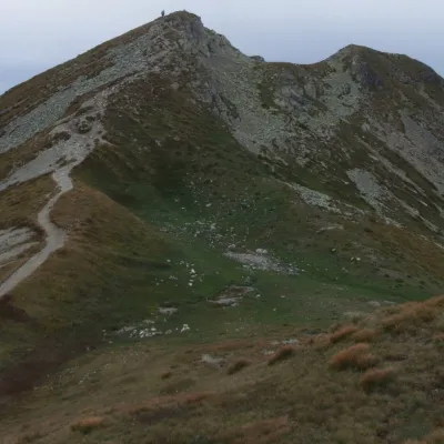 Mountain meadowThe grassy hole of Salatín and Brestová in the Western TatrasZuberecaltitude 2 048 m9.3 km from MníchSalatín (2,048 m) is a massive grassy mountain on the main ridge of the Western Tatras (Západné Tatry) in Slovakia, above the Bobrovecká and Jalovecká valleys on the...
Craft nearby
All craft places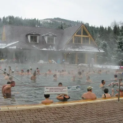 Water parks & thermal poolsOravice thermal poolsVitanová12 km from MníchThe Oravice thermal pools (Termálne kúpalisko Oravice) are the municipal thermal baths in the mountain settlement of Oravice at the foot of the Western Tatras.
 Water parks & thermal poolsMeander Thermal Resort, OraviceVitanová13 km from MníchMeander Thermal & Ski Resort (formerly Meander Park) is a thermal water park and ski centre in the mountain settlement of Oravice in northern Slovakia, at the foot of...
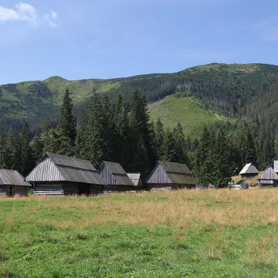 Cheese dairies & pasturesShepherds' Huts on Polana ChochołowskaKościelisko15 km from MníchPolana Chochołowska is the largest glade in the Polish Tatras and one of the largest in the whole range.
 Water parks & thermal poolsAquapark TatralandiaLiptovský Mikuláš18 km from MníchAquapark Tatralandia is a large year-round water leisure complex near Liptovský Mikuláš, on the northern shore of the Liptovská Mara reservoir.
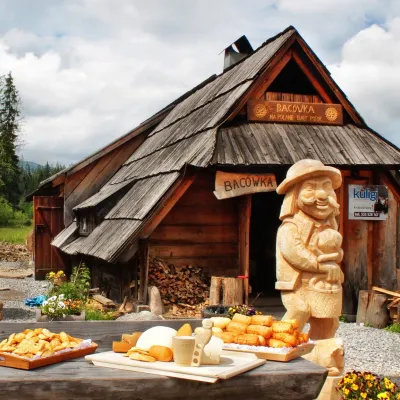 Cheese dairies & pasturesBiały Potok Shepherd's Hut, Witów: oscypek and cheese workshopsKościelisko20 km from MníchBiały Potok meadow in the village of Witów lies between the entrances to two of the most visited Tatra valleys, Chochołowska and Kościeliska.
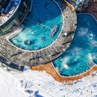 Water parks & thermal poolsChochołowskie TermyChochołów20 km from MníchChochołowskie Termy stand in the village of Chochołów in the Podhale region, north-west of Zakopane and not far from the Slovak border.
