Babia Góra
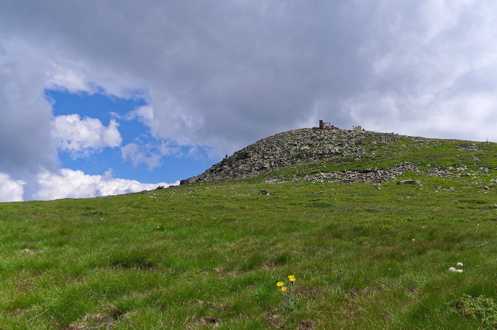
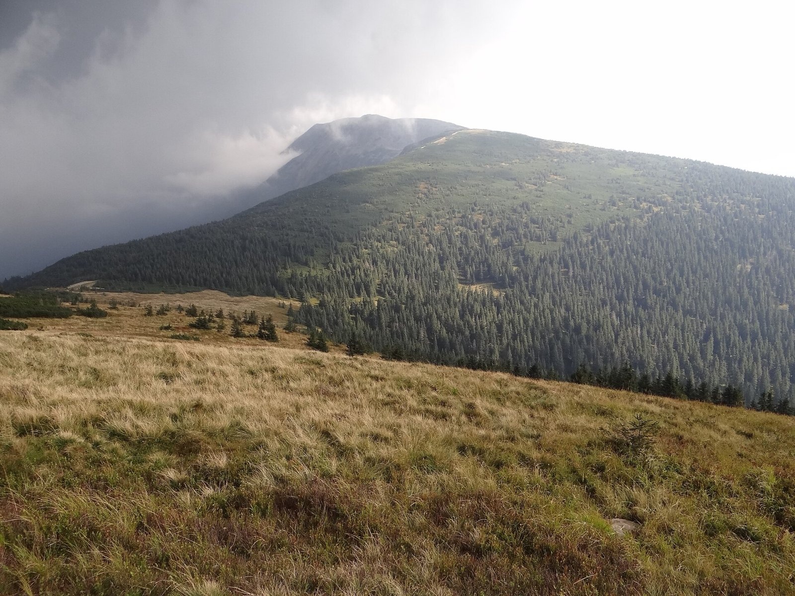
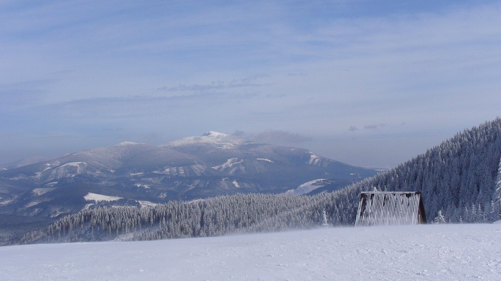
Babia Góra (Slovak Babia hora) is a massif on the Polish–Slovak border in the Western Beskids, and also the usual name of its highest summit, Diablak ("Devil's Peak"), 1,723 m high. It is the highest mountain of the Western Beskids and, outside the Tatras, the highest summit in Poland; only Śnieżka has a greater prominence in the country (Babia Góra's is about 1,070 m). The massif stands alone: the long village of Zawoja lies below its northern side, while the south looks down on Slovak Orava with Oravská Polhora and on the Polish villages of Lipnica Wielka and Zubrzyca Górna. Babia Góra belongs to the Crown of Polish Mountains, and its ridge carries the main European watershed between the Baltic and the Black Sea basins.
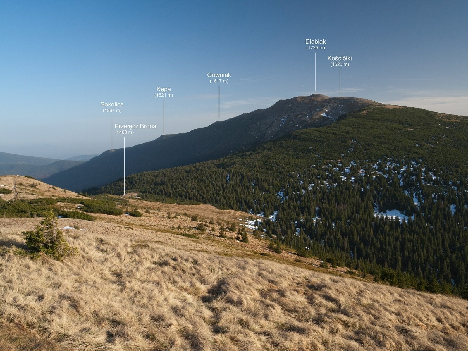
The massif runs from the Jałowiec passes in the west to Krowiarki Pass in the east. Besides Diablak, the ridge includes Mała Babia Góra (Cyl, about 1,517 m), Brona Pass (1,408 m), Kościółki, Gówniak and Sokolica. The northern slopes are very steep and rocky, the southern ones much gentler.
How to get there / routes
On the Polish side the main base is Zawoja. The red Main Beskid Trail (GSB) crosses the summit: from Krowiarki Pass over Sokolica, Kępa and Gówniak to Diablak, then down to Brona Pass and the Markowe Szczawiny hut. According to Babia Góra National Park, the whole red section from Krowiarki to Jałowiec Pass is about 14.5 km and takes some 6 hours.
- from Markowe Szczawiny hut via Brona Pass to Diablak — 3.1 km, about 1.5 h up;
- from Markowe Szczawiny on the yellow trail through Sucha Kotlinka — about 3 km and 1.5 h;
- the green trail from Przywarówka (Lipnica Wielka) past the Głodna Woda spring — 2.3 km, about 2.5 h;
- the trail from Stańcowa — 4.5 km, about 2.5 h up (the Stańcowa entrance is open from May).
The hardest path in the Western Beskids is the Perć Akademików, a yellow trail from Skręt Ratowników on the Górny Płaj to the summit. It is a narrow path climbing steep rocks of the north face, secured with chains and eight metal staples; it is one-way (ascent only) and is periodically closed in winter. From the Slovak side, marked trails lead up from Slaná Voda near Oravská Polhora, including one over Malá Babia hora and Brána saddle.
What you can see from the summit
The rocky summit is one of the finest viewpoints in the region. In clear weather you can see the Orava Beskids, Orava Magura, Veľký Choč and almost the entire Tatras, and on the horizon the Low Tatras, the northern Greater Fatra, the Kriváň Fatra and Lysá hora in the Moravian-Silesian Beskids. The Żywiec Beskids with Pilsko are also well in view.
Nature and history
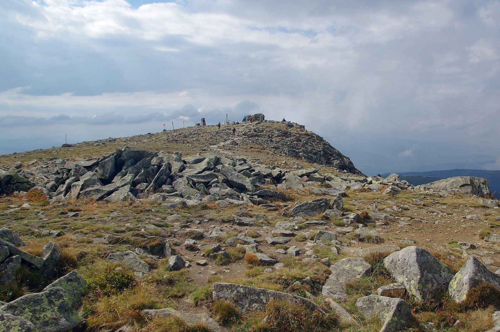
The massif is built of thick Carpathian flysch — sandstones and shales containing nummulite fossils. The summit area holds the largest boulder field in the Polish Western Beskids, and old landslides on the northern slopes have left small lakes such as Mokry Stawek, Zimny Stawek and Czarne Oko. Babia Góra is the only massif in the Polish Beskids with a true high-mountain character: the full sequence of vegetation belts survives, from remnants of the Carpathian primeval forest through spruce woods and dwarf pine to a natural alpine meadow belt on top. Researchers have counted 626 species of vascular plants; brown bear, lynx and wolf live in the forests.
The Polish national park was established in 1954, and in 1977 UNESCO listed it as a world biosphere reserve. The Slovak part lies within the Horná Orava Protected Landscape Area, with the summit slopes protected as the Babia hora nature reserve since 1974. Jan Długosz already mentioned the mountain in the 15th century, and the oldest map showing it dates from 1558. Its fickle weather earned it the nickname "Mother of Bad Weather"; it is also called the "Queen of the Beskids".
Safety, season and rules
Entry to the Polish part of the park is paid: a ticket costs 10 złoty, a reduced one 5 złoty. Walking is allowed only on marked trails. Strong wind and sudden fog are common at the top, thunderstorms occur in summer, and snow may lie for more than 200 days a year; in winter the slopes ice over and can be prone to avalanches, so check the park's announcements before setting out. On the Polish side help comes from the Beskid group of GOPR: 985 or +48 601 100 300; on the Slovak side from the Mountain Rescue Service HZS: 18 300 (+421 18 300). The general emergency number is 112.
Interesting facts
- Modern lidar and geodetic surveys (2014–2019) gave Diablak 1,723.6–1,723.8 m.
- Folk legends explain the name: in one, the mountain is a pile of stones tipped out by a giant old woman (baba).
- In communist times a plaque on the summit commemorated Lenin's alleged ascent in 1912; in 1996 it was replaced with one honouring the ascents of John Paul II.
Photos: Jakub Hałun, CC BY-SA 4.0; Rafał Kozubek, CC BY-SA 4.0; Jerzy Opioła, CC BY-SA 4.0; Jakub Hałun, CC BY-SA 4.0; Pudelek, CC BY-SA 4.0; Jakub Hałun, CC BY-SA 4.0; Jerzy Opioła, CC BY-SA 4.0 — Wikimedia Commons.
Getting there from Ukraine
Border crossings
- Krakovets – Korczowa — road, 24/7
- Shehyni – Medyka — road, 24/7 Pedestrian crossing is not confirmed by the Ukrainian border service — check dpsu.gov.ua before the trip.
- Smilnytsia – Krościenko — road, 24/7
- Hrushiv – Budomierz — road, 24/7
- Mostyska – Przemyśl (rail) — rail, 24/7
By car
Lviv – Żywiec ≈412 km, ≈5 h 30 min without queues or tolls: M-10 → Krakovets – Korczowa → A4 to Kraków (≈249 km) → DK52 via Wadowice → DW781 and DW946 to Żywiec. ≈333 km, ≈4 h from the border. Alternative via the tolled A4 Kraków – Katowice and the S1 via Tychy and Bielsko-Biała: ≈457 km, ≈5 h 25 min.
Checked 23.10.2026; border crossing hours and timetables change — check before you travel.
Location on the map
Water and shelter nearby
- Głodna Woda Spring300 m · Not verified · 1 638 m
- Spring below Babia Góra (south-west slope)820 m · Not verified · 1 542 m
- Spring below Babia Góra (north-west slope), 1 343 m910 m · Not verified · 1 343 m
- Spring below Babia Góra (north-west slope), 1 314 m970 m · Not verified · 1 314 m
- Spring below Babia Góra (north-west slope), 1 279 m1 km · Not verified · 1 279 m
- Spring below Mała Babia Góra (east slope), 1 386 m1.7 km · Not verified · 1 386 m
- Spring below Mała Babia Góra (east slope), 1 353 m1.7 km · Not verified · 1 353 m
- Spring below Bukovský grúň1.8 km · Not verified · 1 289 m
- Markowe Szczawiny Hut1.9 km · Standing · 1 180 m
- Drinking water below Mała Babia Góra2 km · Not verified · 1 196 m
- Śmierdząca Woda Spring2.6 km · Not verified · 958 m
- BgPN Canopy, 1 070 m2.7 km · Not verified · 1 070 m
Comments
Trails nearby
All trails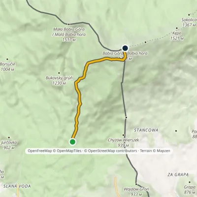 ModerateOne-dayMarkedTrail of Milo UrbanElevation profile886–1 723 m5.3 kmascent 842 m≈ 3 h walkingunder 1 km from Babia Góra
 HardMulti-dayMarkedMain Trail of BeskidyElevation profile309–1 723 m499.9 kmascent 19 519 munder 1 km from Babia Góra
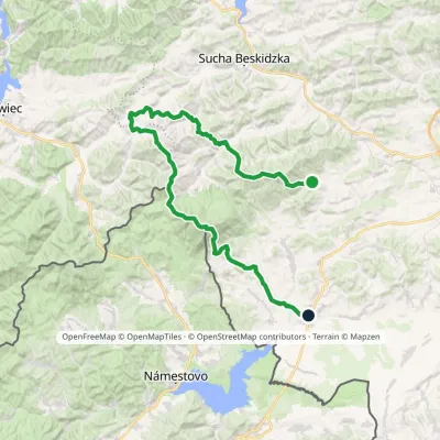 HardMulti-dayMarkedSidzina JabłonkaElevation profile507–1 723 m74.1 kmascent 3 189 munder 1 km from Babia Góra
Nearby attractions
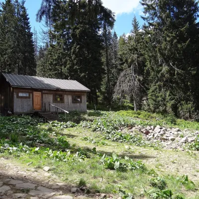 Mountain meadowMarkowe SzczawinyZawojaaltitude 1 180 m1.9 km from Babia GóraMarkowe Szczawiny is a small meadow on the northern slopes of Babia Góra at about 1,180 m, in the commune of Zawoja in Sucha County, within Babia Góra National Park ...
 PeakMała Babia Góraaltitude 1 517 m2.3 km from Babia GóraMała Babia Góra, also called Cyl (Slovak: Malá Babia hora), is a summit of about 1,517 m in the Babia Góra massif on the Polish–Slovak border.
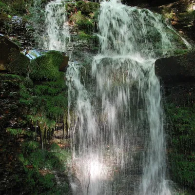 WaterfallWaterfall on the Mosorny PotokZawoja7 km from Babia GóraThe waterfall on the Mosorny Potok (Wodospad na Mosornym Potoku), also called Mosorczyk, is one of the highest natural waterfalls of the Polish Beskids.
Craft nearby
All craft places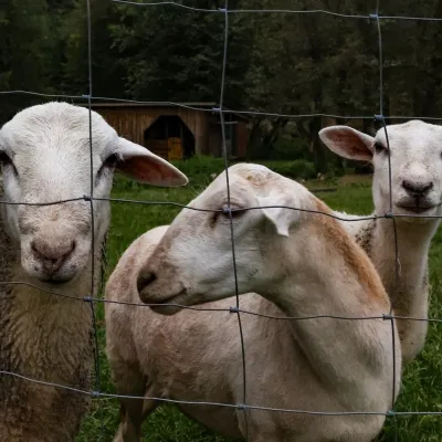 Eco farmsOrawskie Ranczo Educational Farm, Harkabuz: animals and craft workshopsHarkabuz22 km from Babia GóraOrawskie Ranczo is a small family educational farm (zagroda edukacyjna) in the village of Harkabuz near Raba Wyżna, where Orawa meets Podhale.
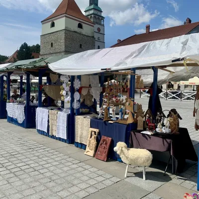 Markets & fairsFolk Art Fair in Żywiec during the Beskidy Week of CultureŻywiec27 km from Babia GóraThe Beskidy Highlanders' Week of Culture (Tydzień Kultury Beskidzkiej, TKB) is Poland's largest folklore festival: it was first held in Wisła in 1964, and today, at...
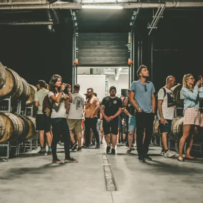 Craft beer & breweriesPINTA Brewery, Wieprz near Żywiec: tours and taproomWieprz27 km from Babia GóraPINTA is the brewery that Poles associate with the start of the “beer revolution”; it calls itself the country's first craft brewery.
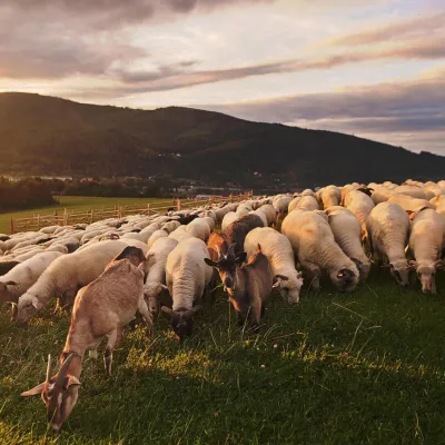 Cheese dairies & pasturesBacówka na Bukowinie, Żabnica: sheep's cheese and alpacasWęgierska Górka29 km from Babia GóraBacówka na Bukowinie stands on a slope above the village of Żabnica, next to Węgierska Górka, where the Żywiec Beskids meet the Silesian Beskids.
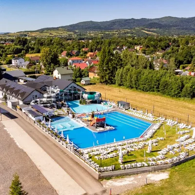 Water parks & thermal poolsAquapark Leśna (Żywiec)Leśna30 km from Babia GóraAquapark Leśna (also called Aquapark Żywiec) is a swimming-pool complex in the village of Leśna, a few kilometres from Żywiec, in the Żywiec Basin, surrounded by the...
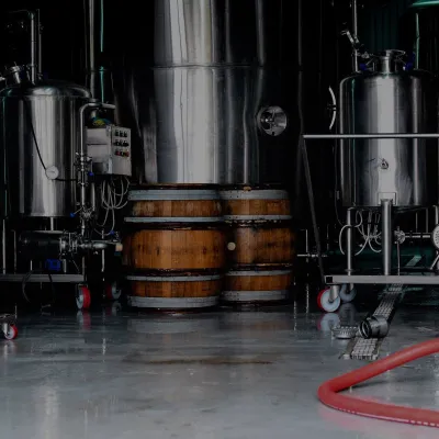 Craft beer & breweriesBrowar Zarzecze in the Żywiec Basin: craft brewery shopZarzecze31 km from Babia GóraBrowar Zarzecze works in the village of Zarzecze near Pietrzykowice in the Żywiec Basin — a region where beer has been brewed since at least the 19th century and home...
