Devínska Kobyla
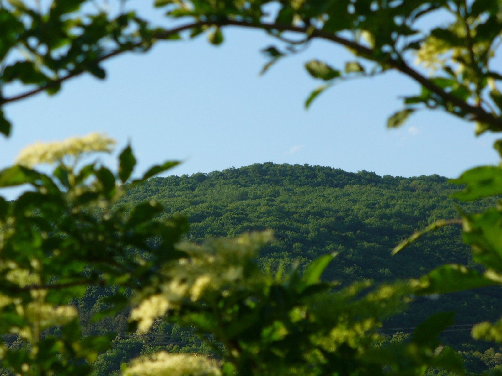
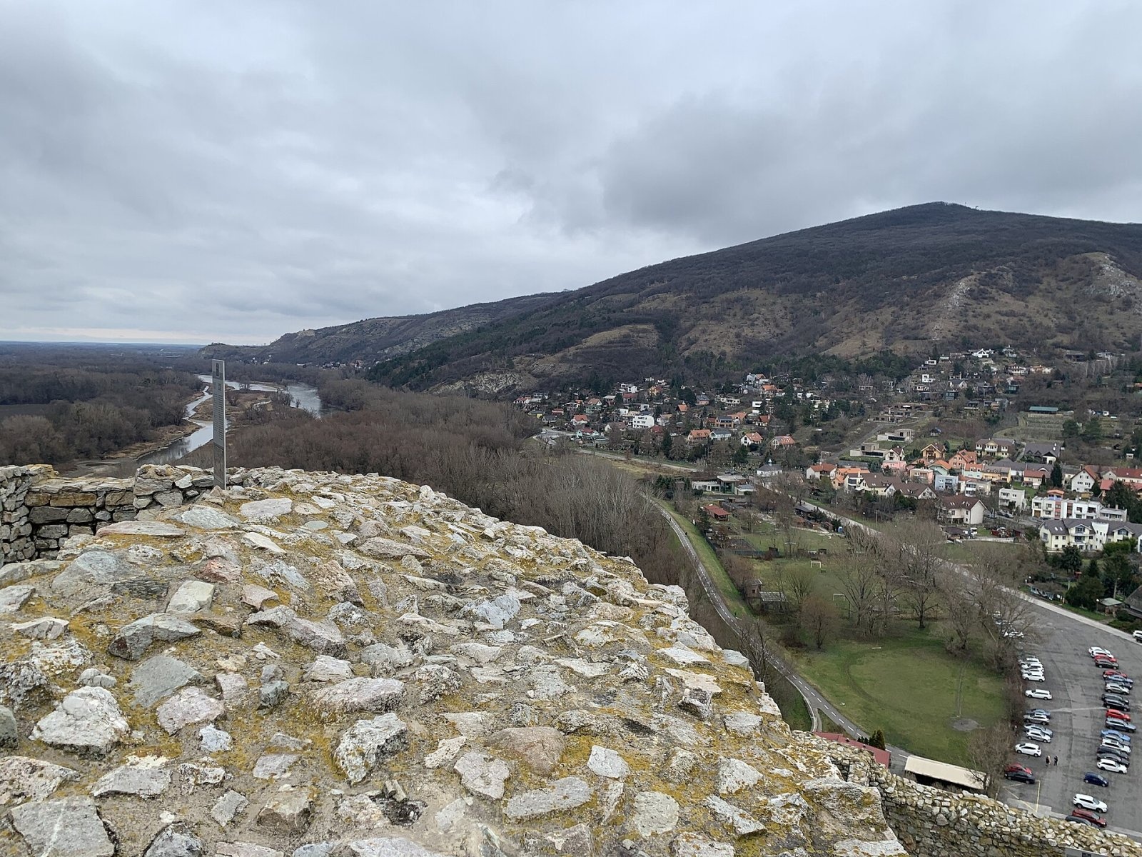
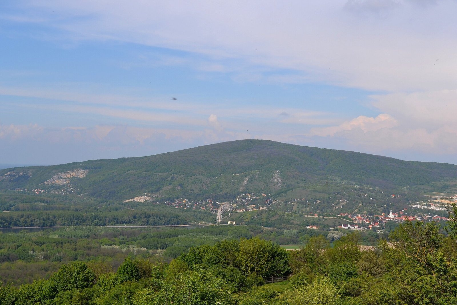
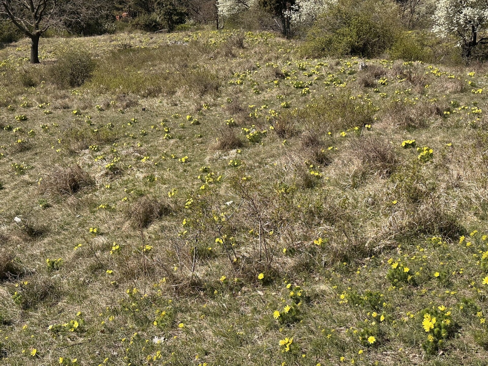
Devínska Kobyla (German Thebener Kogel, Hungarian Dévényi-tető) is a 514 m summit at the very south-western tip of the Little Carpathians, the highest peak of the Devín Carpathians and the highest point of Bratislava. It rises above the borough of Devín, about 9 km west of the centre of the Slovak capital, between Devínska Nová Ves, Devín and Dúbravka. This is where the Carpathians end: to the west and south the mountain is bounded by the Morava and the Danube, beyond which lies the Vienna Basin, and together with the Austrian Braunsberg opposite it forms the Devín Gate — the Danube's passage between the Alps and the Carpathians. To the east the ridge continues via Švábsky vrch and Kamzík above Bratislava.
Getting there / trails
- Green markings lead from Devínska Nová Ves straight to the summit.
- The red-marked Cesta hrdinov SNP passes below the summit: from Devín castle in the south and from the Slavín memorial in the south-east via Švábsky vrch. It is the same route that crosses the whole of Slovakia to the Dukla Pass.
- Green, yellow and blue markings lead from Devínska Nová Ves to the protected slopes and Sandberg and continue to Devín castle; there is also an educational trail about 4 km long.
An asphalt road also leads to the top, so the walk is easy to combine with the city, Devín castle and the Danube bank.
The lookout tower
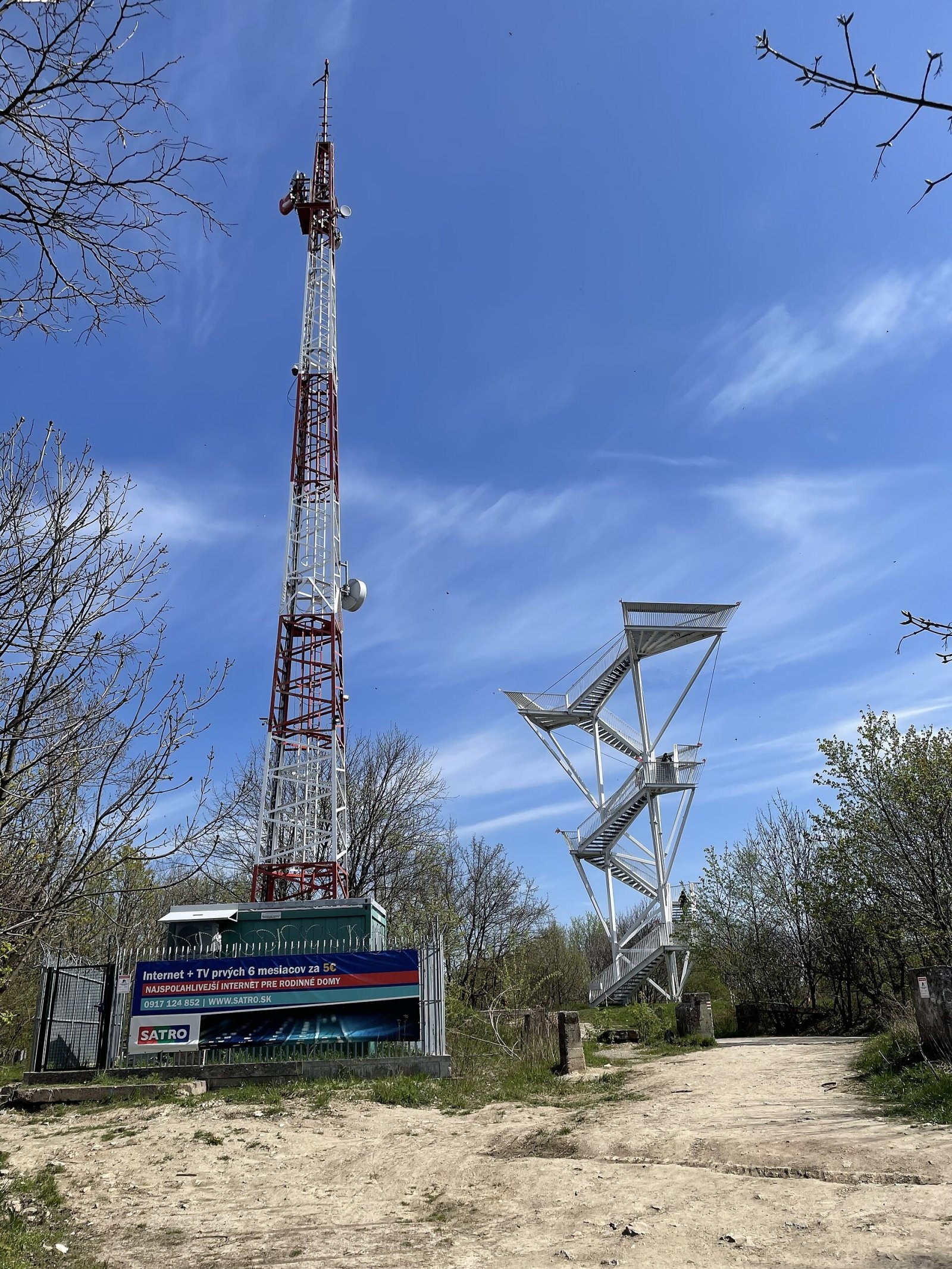
The summit itself is wooded and built up, so the view from it is limited. But on 15 July 2020 a 21 m, 35-tonne lookout tower with 112 steps, funded by the borough of Devínska Nová Ves, opened on the site of the former military base. Locals call it «the praying mantis»: its shape was inspired by the European mantis that lives on Kobyla and by milk thistle. The tower offers an all-round panorama of the Little Carpathians, Záhorie and the Danubian Lowland, Austria and Hungary, and in good visibility the White Carpathians, Vtáčnik, Tribeč and the Alpine foothills.
Former missile base
In 1979–1983 an air-defence missile base (officially a «radio-technical air-defence post») was built on the summit as part of the Warsaw Pact defences against NATO aircraft and missiles. Four reinforced-concrete bunkers held 16 S-125 Neva missiles, and the garrison numbered 140 soldiers in 20 buildings. After 1989 the base lost its purpose, it was abandoned in the mid-1990s, and in 2000 the Ministry of Defence declared it surplus. The former barracks still stand empty.
Nature
The mountain lies in the Little Carpathians Protected Landscape Area, and since the mid-1960s its western and southern slopes have been a national nature reserve of about 101 ha. Unique xerothermic forest-steppes survive here: over 1,100 species of vascular plants, 234 species of fungi, 110 lichens and 100 mosses have been recorded in a small area. In spring the steppe slopes bloom with spring pheasant's eye, burning bush (Dictamnus) and bloody crane's-bill; remnants of original oak forest survive on the south-western slopes. Goat and sheep grazing has been brought back to restore the steppe. The whole massif is part of the Natura 2000 site «Devínska Kobyla» (about 643 ha).
On the western slope near Devínska Nová Ves lies Sandberg, one of the most important palaeontological sites in Slovakia. The yellow faces of an old sandpit show horizontal layers of Tertiary sea deposits 14–16 million years old, which have yielded fossils of more than 300 animal species.
Tips
This is a city «mountain» walk that works all year. In the reserve keep to marked paths, do not pick plants or fossils, and keep dogs on a lead. In an emergency call 112.
Photos: MarkBA, CC BY-SA 4.0; Svetovid, CC BY-SA 3.0; Punteador, CC BY-SA 4.0; Lure, CC BY-SA 3.0; Punteador, CC BY-SA 4.0 — Wikimedia Commons.
Getting there from Ukraine
Border crossings
- Uzhhorod – Vyšné Nemecké — road, 24/7
- Malyi Bereznyi – Ubľa — road, 24/7 For cars and buses; pedestrians not confirmed by the Ukrainian border service, lorries up to 3.5 t.
- Mali Selmentsi – Veľké Slemence (pedestrian) — pedestrian, 09:00–21:00 Kyiv time Pedestrians and cyclists only; inconvenient for the Tatras without onward transport.
- Chop – Čierna nad Tisou (rail) — rail, 24/7
By car
Uzhhorod – Poprad ≈195 km, ≈2 h 55 min without queues: Uzhhorod – Vyšné Nemecké checkpoint → I/19 via Sobrance and Michalovce → Košice → D1 motorway via Prešov → Poprad (Liptovský Mikuláš is ≈56 km further on the D1, total ≈249 km). Košice – Poprad ≈112 km. The D1 requires an e-vignette (eznamka.sk). Note: from Lviv the fastest way to Poprad is through Poland — Krakovets – A4 – Kraków – Zakopane – Łysa Polana ≈468 km (≈5 h 50 min); via Uzhok and Malyi Bereznyi ≈419 km but slower (≈6 h 40 min). Zakopane – Poprad ≈69 km, Zakopane – Liptovský Mikuláš ≈80 km.
Checked 23.10.2026; border crossing hours and timetables change — check before you travel.
Location on the map
Water and shelter nearby
- Spring under Kobylia (Biele skaly)600 m · Not verified · 387 m
- Ladislavov Spring730 m · Not verified · 327 m
- Bohran Spring1 km · Not verified · 391 m
- Jankov Spring1.8 km · Not verified · 337 m
- Castle well, 174 m2.1 km · Not verified · 174 m
- Hut below Škarica2.9 km · Not verified · 303 m
Comments
Trails nearby
All trails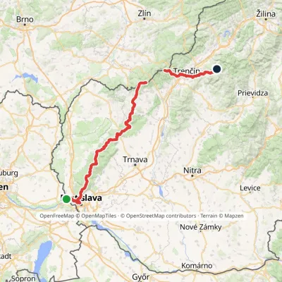 HardMulti-dayMarkedHrad Devín, parking Horná Poruba, U BrdárovElevation profile146–965 m190.1 kmascent 7 200 munder 1 km from Devínska Kobyla
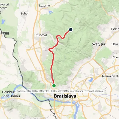 ModerateTwo-dayMarkedChodník Jurka SzomolanyihoElevation profile184–545 m19.2 kmascent 752 m≈ 6.5 h walking5.3 km from Devínska Kobyla
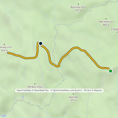 EasyOne-dayMarkedZbojníčka Malinský vrchElevation profile357–454 m3 kmascent 80 m≈ 60 min walking8.8 km from Devínska Kobyla
Nearby attractions
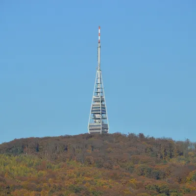 PeakKamzíkMariankaaltitude 439 m7.3 km from Devínska KobylaKamzík (German Gemsenberg, Hungarian Zerge-hegy) is a 439 m summit of the Little Carpathians standing right above Bratislava, about 3 km north-west of the city centre.
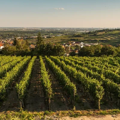 Wine & tastingsDubovský & Grančič Winery, Svätý Jur: tastings and sektSvätý Jur17 km from Devínska KobylaFrom sixty ares to “Winemaker of the Year” Svätý Jur is an old wine town on the southern slopes of the Little Carpathians, just beyond the Bratislava city limits.
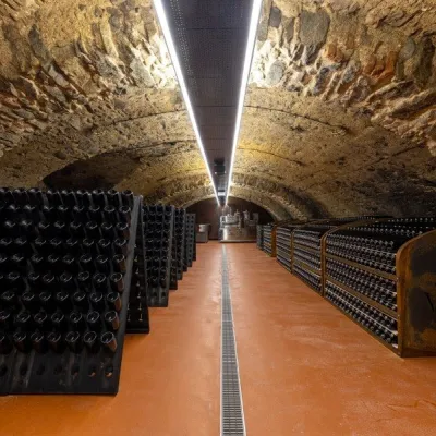 Wine & tastingsVIAJUR winery in Svätý Jur: tastings in the Pálffy cellarsSvätý Jur17 km from Devínska KobylaWine in old cellars on the edge of Bratislava Svätý Jur is an old wine town at the very foot of the Little Carpathians, just beyond the Bratislava city limits.
Craft nearby
All craft places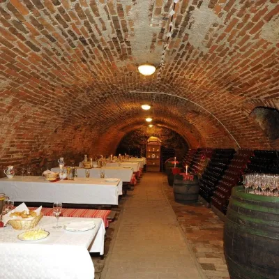 Wine & tastingsHACAJ winery in Pezinok: sparkling wine in a 300-year-old cellarPezinok23 km from Devínska KobylaPezinok is the centre of the Little Carpathian Wine Route, a town where winegrowers’ houses with deep cellars line the old streets.
 Crafts & workshopsSlovak Folk Majolica in Modra: pottery tour and paintingModra28 km from Devínska KobylaModra is a small wine town on the eastern slopes of the Little Carpathians, half an hour’s drive from Bratislava.
 Wine & tastingsJuran z Modry winery: tastings in a Modra wine shopModra29 km from Devínska KobylaModra is one of the main wine towns of the Little Carpathians: every other courtyard has its own cellar, and rows of vines climb the slopes above the town.
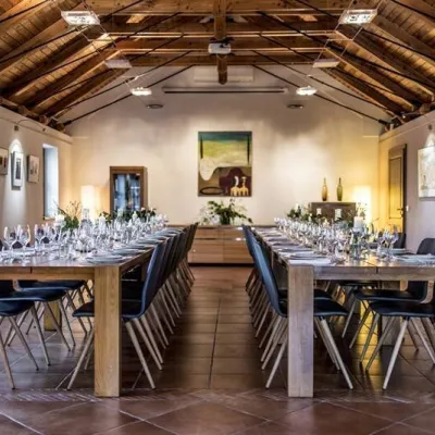 Wine & tastingsKarpatská Perla winery in Šenkvice: tastings and cellarŠenkvice29 km from Devínska KobylaFrom a home cellar to Winery of the Year Šenkvice is a wine village on the plain below the eastern slopes of the Little Carpathians, between Pezinok and Modra.
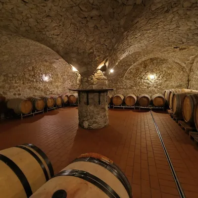 Wine & tastingsMagula Winery, Suchá nad Parnou: biodynamic wines and a farmSuchá nad Parnou46 km from Devínska KobylaSuchá nad Parnou is a wine village on the south-eastern slopes of the Little Carpathians, near Trnava.
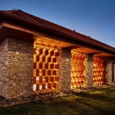 Honey & meaderiesVčelovina meadery, Smolenice: mead and honey beerSmolenice48 km from Devínska KobylaThis is where the Včelovina meadery works — “a small production with a big heart”, as its founders put it.
