Malý Ľadový štít
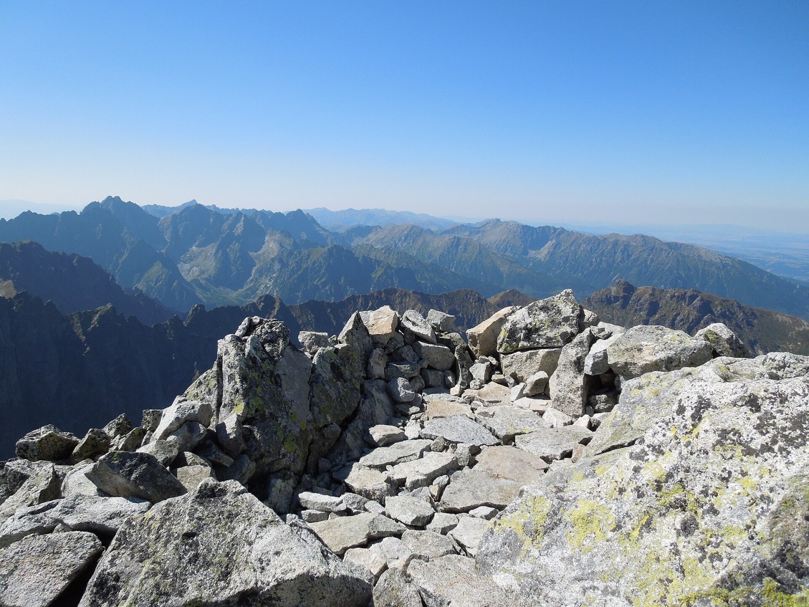
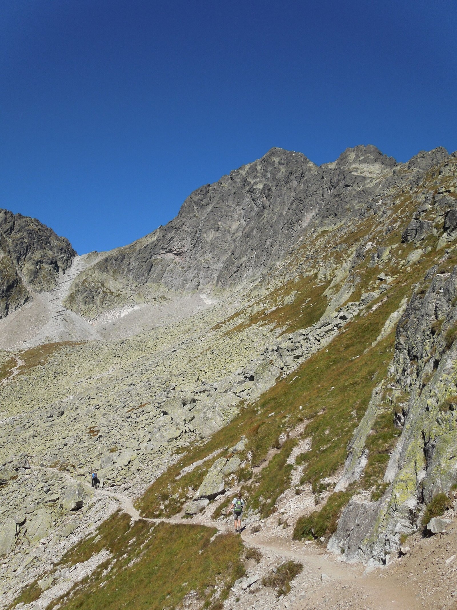
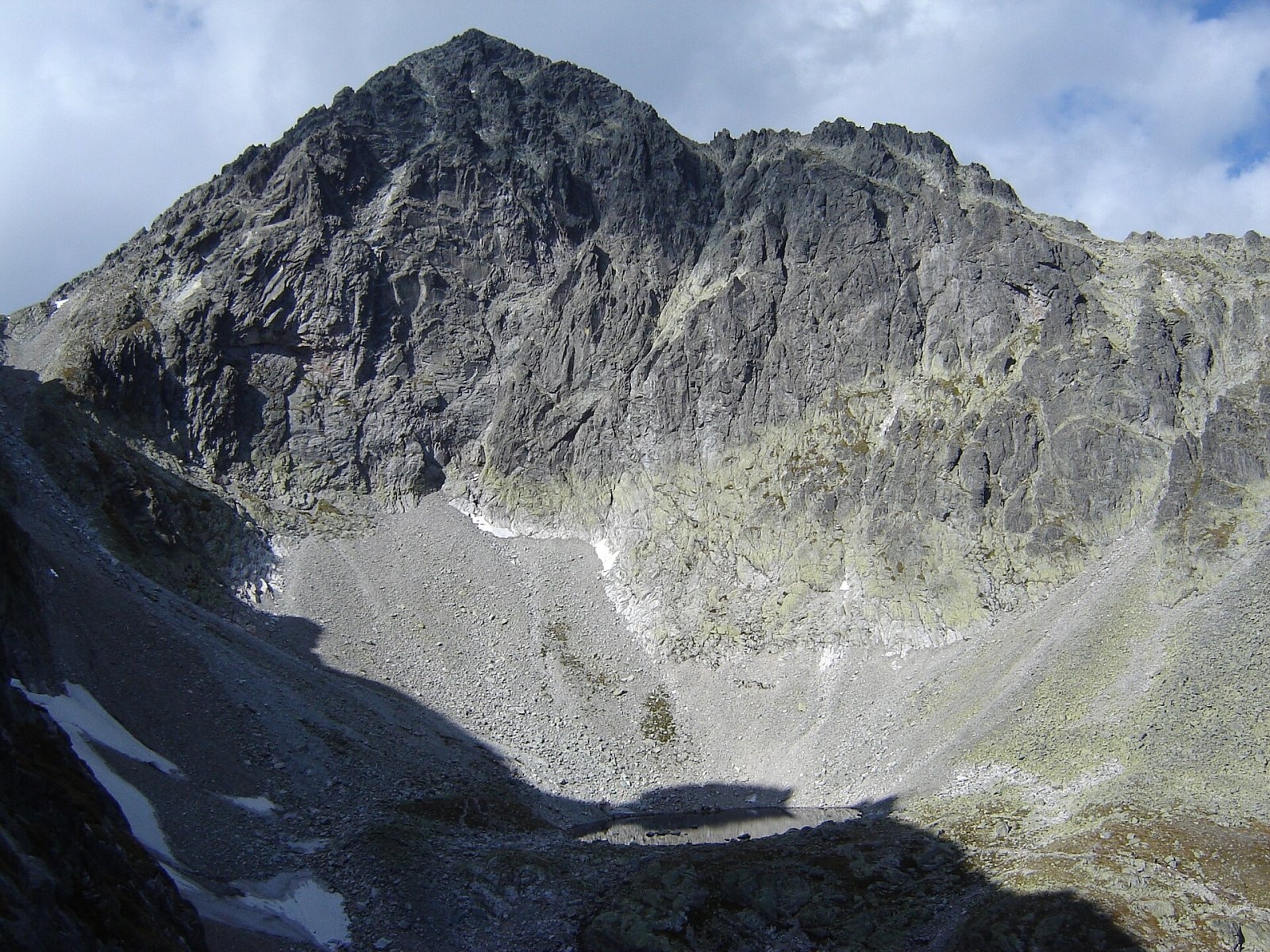
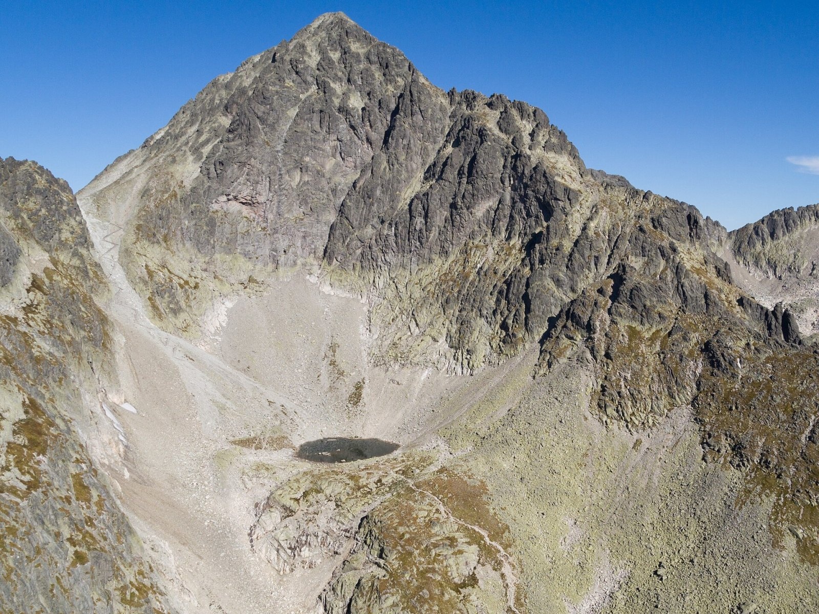
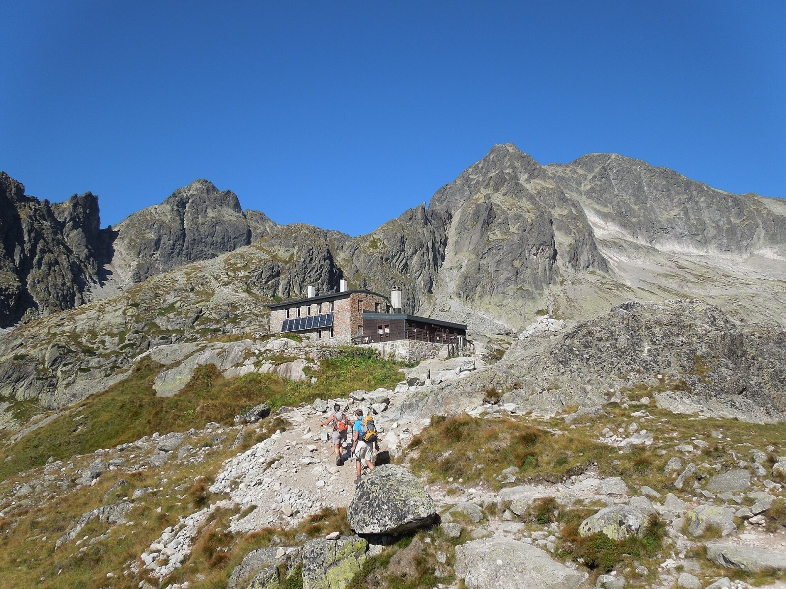
Malý Ľadový štít (formerly Ľadová kopa; Polish Lodowa Kopa; German Markasitturm) is a 2602 m summit on the main ridge of the Slovak High Tatras. It is one of the ten highest peaks of the High Tatras and stands about 16 km north of Poprad, above Tatranská Lomnica. To the south-east, in the basin of the Five Spiš Tarns, stands the Téryho chata hut. The mountain lies in Poprad District of the Prešov Region, on the boundary between the town of Vysoké Tatry and the municipality of Tatranská Javorina.
From afar Malý Ľadový štít may look like a side summit of the neighbouring Ľadový štít (2627 m), but it is clearly separated from it by the Ľadová štrbina notch. On the other side, between Malý Ľadový štít and Široká veža (2461 m), lies the Sedielko saddle. The mountain has two tops: the main north-western one and a south-eastern one a few metres lower. A long ridge runs south-west and ends at Pfinnova kopa. The south face drops into the Dolinka pod Sedielkom, the east face into the Five Spiš Tarns basin and the western slopes into the Zadná Javorová dolina valley.
How to get there / routes
There is no marked trail to the summit. The peak lies within the Javorová dolina and Studené doliny national nature reserves of the Tatra National Park (TANAP), so there is no free access: you may go up only with a licensed mountain guide (horský vodca); only climbers go on their own, under the park rules.
- The nearest marked trail is the green one: from Tatranská Javorina up the Javorová dolina valley to the Sedielko saddle and on to the Téryho and Zamkovského huts. The saddle is about 360 m from the summit.
- The usual guided ascent starts from Sedielko – a relatively accessible route, which is why the peak is visited fairly often.
What you can see from the top
The rocky summit gives an all-round view. Thanks to its height it opens a clear view of most High Tatra peaks – Ľadový, Lomnický, Kežmarský and Pyšný štít, Baranie rohy, Slavkovský štít – of the ridge of the Belianske Tatras and the surrounding valleys and, in good visibility, of the mountains of central and eastern Slovakia and southern Poland.
Nature and history
Hunters from the Polish village of Jurgów knew the way up from the Sedielko side and straight from the Javorová valley long ago. The first recorded tourist ascent was on 22 September 1835, when the naturalists Johann Heinrich Blasius, Gustav Hartlaub and Alexander Keyserling climbed it with the Javorina forester Simon Fischer and hunters from Jurgów. The first winter ascent was made by Włodzimierz Mostowski, Kazimierz Piotrowski and Stanisław Sierakowski on 2 February 1914.
For climbers the main attraction is the south face, which carries many routes up to grade VI. It was first climbed on 22 August 1912 by Alfréd Grósz, Tibold Kregczy and Lajos Rokfalusy; the story of the ascent inspired the film Cesta k slnku (1948). The German and Hungarian names probably come from the mineral marcasite, with its brassy-yellow metallic lustre.
Safety, season and rules
The approach to Sedielko is a high-mountain trail above the tree line: loose stone, snowfields into summer and fast-changing weather. From 1 November to 31 May TANAP closes its high-mountain trails for the season. Non-climbers may not go to the summit itself without a guide. In the Slovak mountains help comes from the Mountain Rescue Service HZS: 18 300 (+421 18 300) or 112.
Interesting facts
- The Polish name Mały Lodowy Szczyt refers to the neighbouring Široká veža – the names are often confused.
- Older surveys gave heights of 2602, 2603 and even 2611 m.
Photos: Milan Bališin, CC BY-SA 4.0; Milan Bališin, CC BY-SA 4.0; Branork, CC BY-SA 2.5; Rafał Kozubek, CC BY-SA 3.0; Milan Bališin, CC BY-SA 4.0; Wikimol, CC BY-SA 3.0 — Wikimedia Commons.
Getting there from Ukraine
Border crossings
- Uzhhorod – Vyšné Nemecké — road, 24/7
- Malyi Bereznyi – Ubľa — road, 24/7 For cars and buses; pedestrians not confirmed by the Ukrainian border service, lorries up to 3.5 t.
- Mali Selmentsi – Veľké Slemence (pedestrian) — pedestrian, 09:00–21:00 Kyiv time Pedestrians and cyclists only; inconvenient for the Tatras without onward transport.
- Chop – Čierna nad Tisou (rail) — rail, 24/7
By car
Uzhhorod – Poprad ≈195 km, ≈2 h 55 min without queues: Uzhhorod – Vyšné Nemecké checkpoint → I/19 via Sobrance and Michalovce → Košice → D1 motorway via Prešov → Poprad (Liptovský Mikuláš is ≈56 km further on the D1, total ≈249 km). Košice – Poprad ≈112 km. The D1 requires an e-vignette (eznamka.sk). Note: from Lviv the fastest way to Poprad is through Poland — Krakovets – A4 – Kraków – Zakopane – Łysa Polana ≈468 km (≈5 h 50 min); via Uzhok and Malyi Bereznyi ≈419 km but slower (≈6 h 40 min). Zakopane – Poprad ≈69 km, Zakopane – Liptovský Mikuláš ≈80 km.
Checked 23.10.2026; border crossing hours and timetables change — check before you travel.
Location on the map
Water and shelter nearby
- Téry Hut1.4 km · Standing · 2 015 m
- Spring below Nižný kolový chlapík1.5 km · Not verified · 2 051 m
- Spring below Čierna vežička1.8 km · Not verified · 2 055 m
- Spring below Predná Javorová veža1.9 km · Not verified · 1 585 m
- Spring below Strelecká veža2.1 km · Not verified · 1 704 m
- Zbojnícka Hut2.5 km · Standing · 1 960 m
Comments
Trails nearby
All trails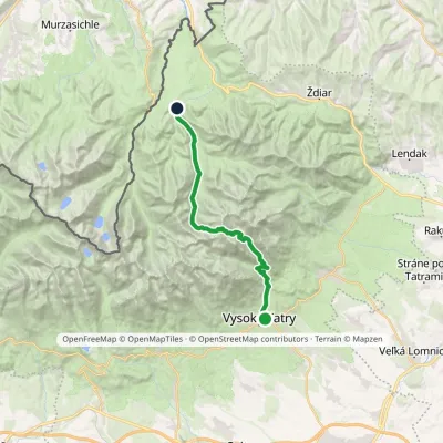 HardTwo-dayMarkedStary Smokowiec Tatrzańska JaworinaElevation profile996–2 342 m22.4 kmascent 1 382 m≈ 8.5 h walkingunder 1 km from Malý Ľadový štít
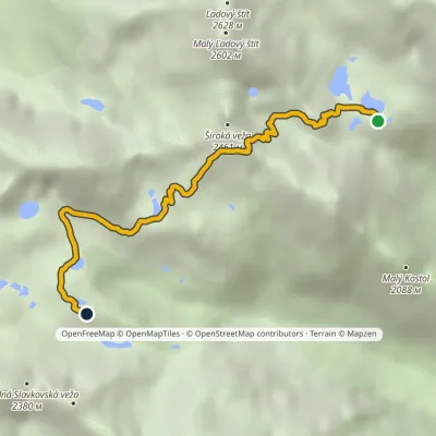 HardOne-dayMarkedTéryho chata Zbojnícka chataElevation profile1 970–2 260 m4.9 kmascent 247 m≈ 1.5 h walkingunder 1 km from Malý Ľadový štít
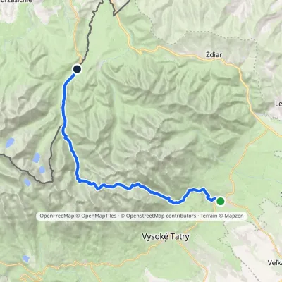 HardMulti-dayMarkedTatranská Lomnica Lysá PoľanaElevation profile853–2 268 m27.3 kmascent 1 415 m≈ 9.5 h walking2.1 km from Malý Ľadový štít
Nearby attractions
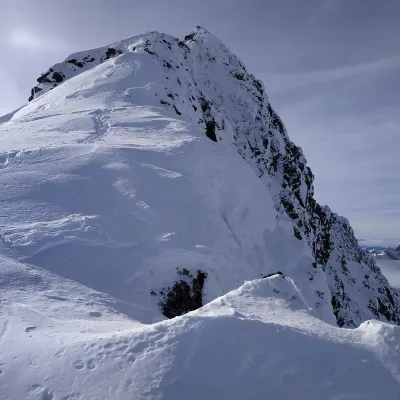 PeakĽadový štítTatranská Javorinaaltitude 2 628 munder 1 km from Malý Ľadový štítĽadový štít (Ice Peak; Polish Lodowy Szczyt, German Eistaler Spitze) is a 2,628 m summit on the main ridge of the High Tatras, the third-highest in the whole Tatras ...
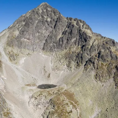 LakeModré plesoStarý Smokovecunder 1 km from Malý Ľadový štítModré pleso (the Blue Tarn) is the highest permanent lake in the whole Tatras. It lies at 2,192 m (Czech and German sources give 2,189 m) in Dolinka pod Sedielkom, a...
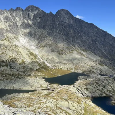 LakePäť Spišských plies (Five Spiš Tarns)Starý Smokovec1.1 km from Malý Ľadový štítPäť Spišských plies (the Five Spiš Tarns) is a group of five glacial lakes at the very head of Malá Studená dolina in the Slovak High Tatras, within Tatra National...
Craft nearby
All craft places Water parks & thermal poolsClimatic spas of the High Tatras: Nový Smokovec, Polianka, KotlinaVysoké Tatry6.9 km from Malý Ľadový štítNový Smokovec is the best known of the climatic spas of the High Tatras. It grew up in a spruce forest at about 1010 m, south-west of Starý Smokovec, with which it...
 Cheese dairies & pasturesShepherd's Hut on Rusinowa PolanaBrzegi10 km from Malý Ľadový štítRusinowa Polana is one of the most beautiful mountain glades in the Polish Tatras, and from May to October it is home to the bacówka (shepherd's hut) of baca Stanisław...
 Cheese dairies & pasturesU Jancoka Shepherd's Hut, Brzegi: oscypek from Poland's first female bacaBrzegi15 km from Malý Ľadový štítThe U Jancoka shepherd's hut (bacówka) stands beside regional road 960, which runs from Bukowina Tatrzańska to the Łysa Polana border crossing, in the village of Brzegi.
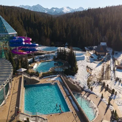 Water parks & thermal poolsTermy BukovinaBukowina Tatrzańska16 km from Malý Ľadový štítTermy Bukovina is a modern thermal pool complex in Bukowina Tatrzańska, a village lying about a thousand metres above sea level on the edge of the Tatra National Park.
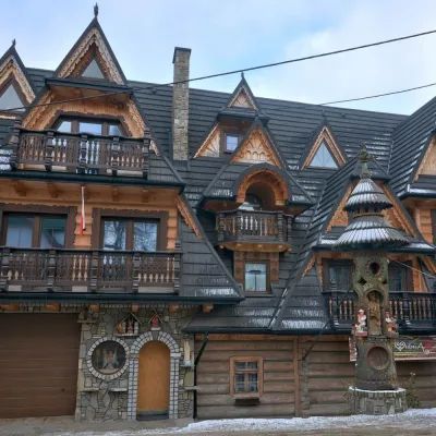 Crafts & workshopsDrewutnia, Bukowina Tatrzańska: glass painting workshops and highland furnitureBukowina Tatrzańska16 km from Malý Ľadový štítDrewutnia ("the woodshed") calls itself a "shop for cultural needs". It is the family business of the Kuchtas of Bukowina Tatrzańska, who say they have lived here...
 Cheese dairies & pasturesFurtek's Shepherd's Huts, Kuźnice and KalatówkiZakopane17 km from Malý Ľadový štítAbove Kuźnice — the southern edge of Zakopane where most hikes into the Western and High Tatras begin — the flocks are tended by baca Andrzej Staszel, nicknamed "Furtek".
