Vihorlat
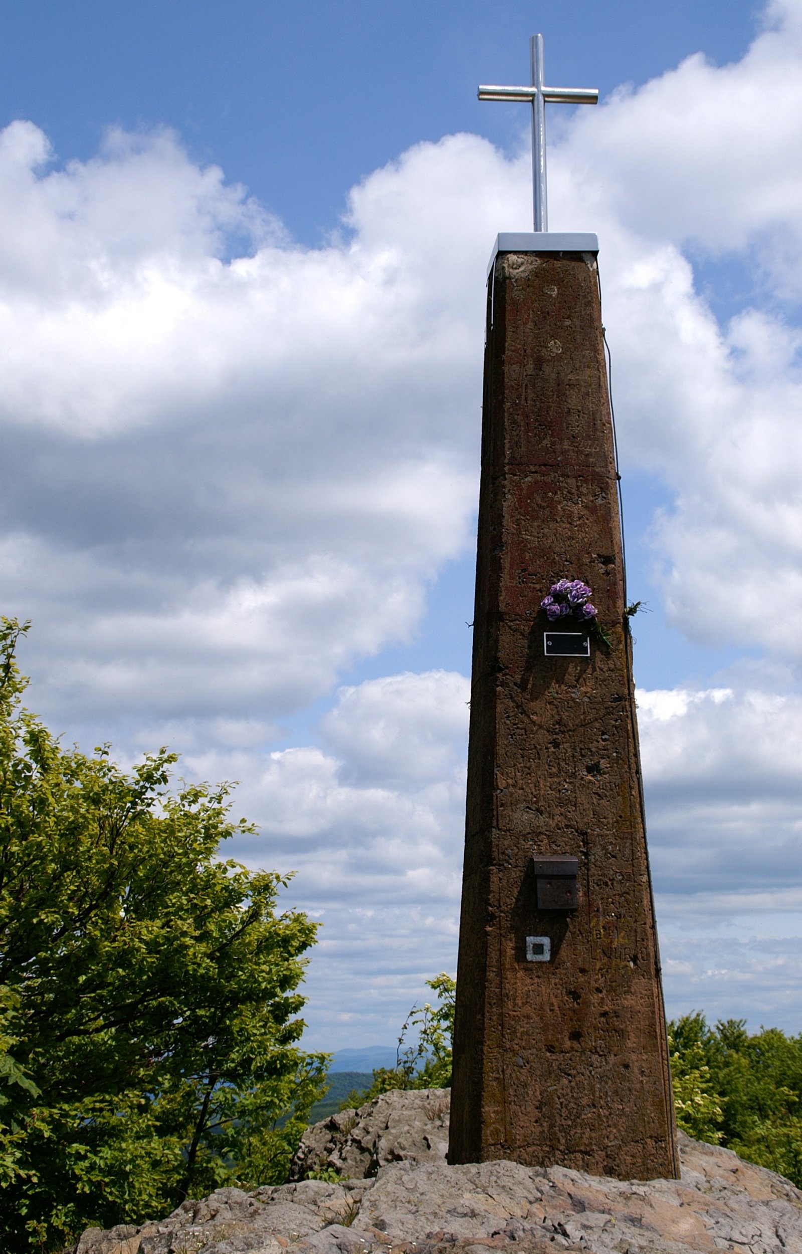
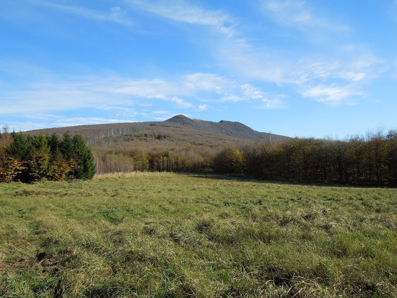
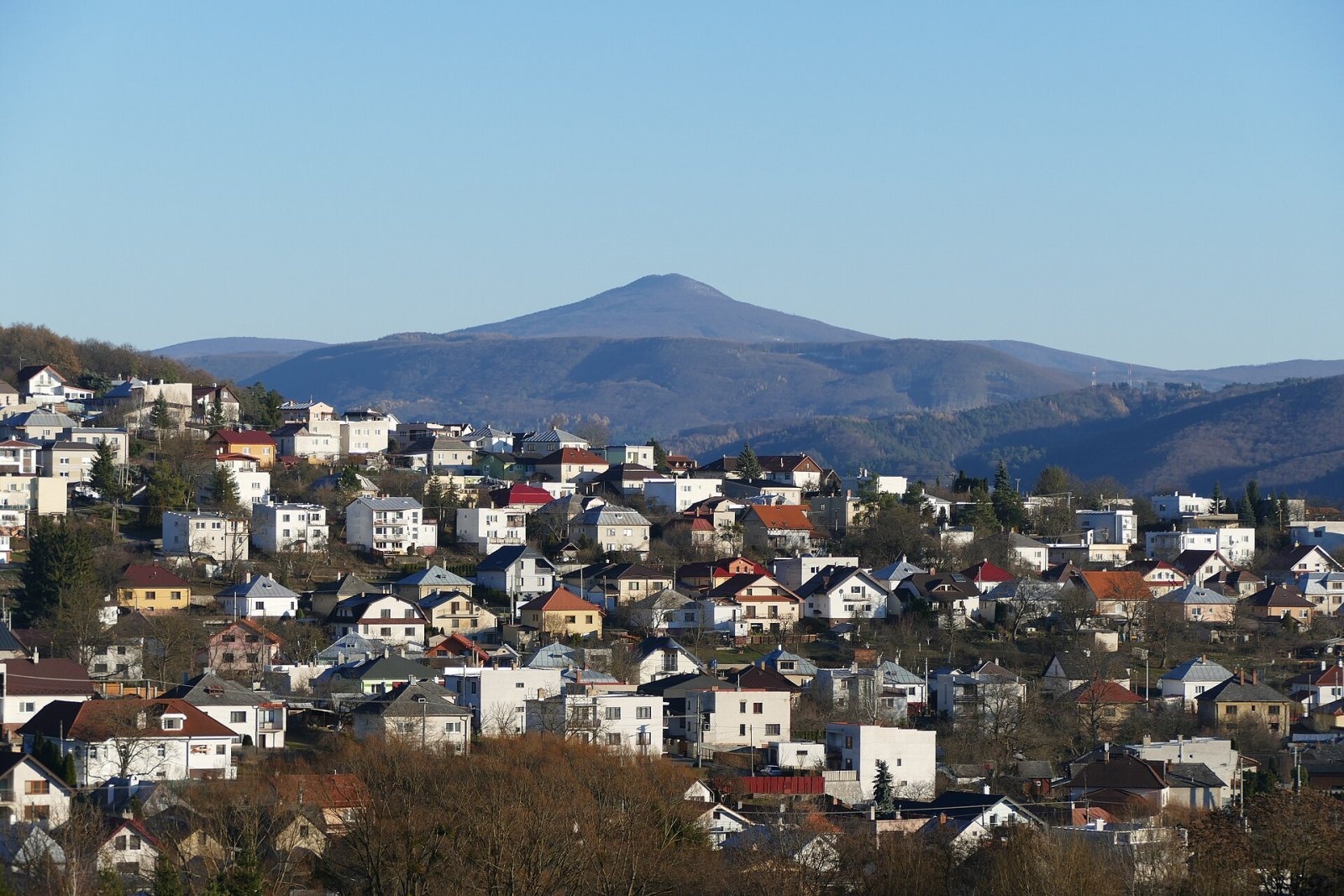
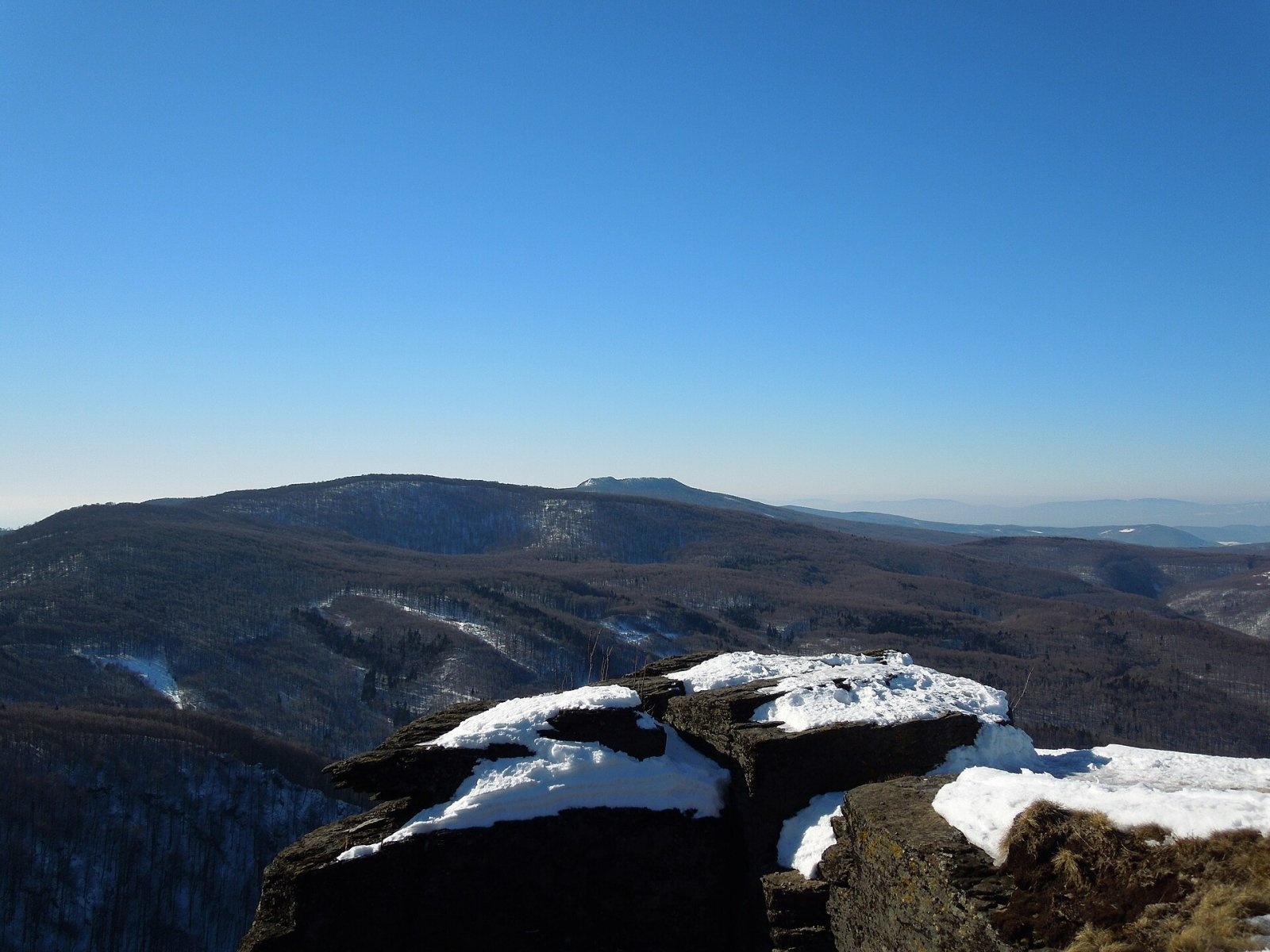
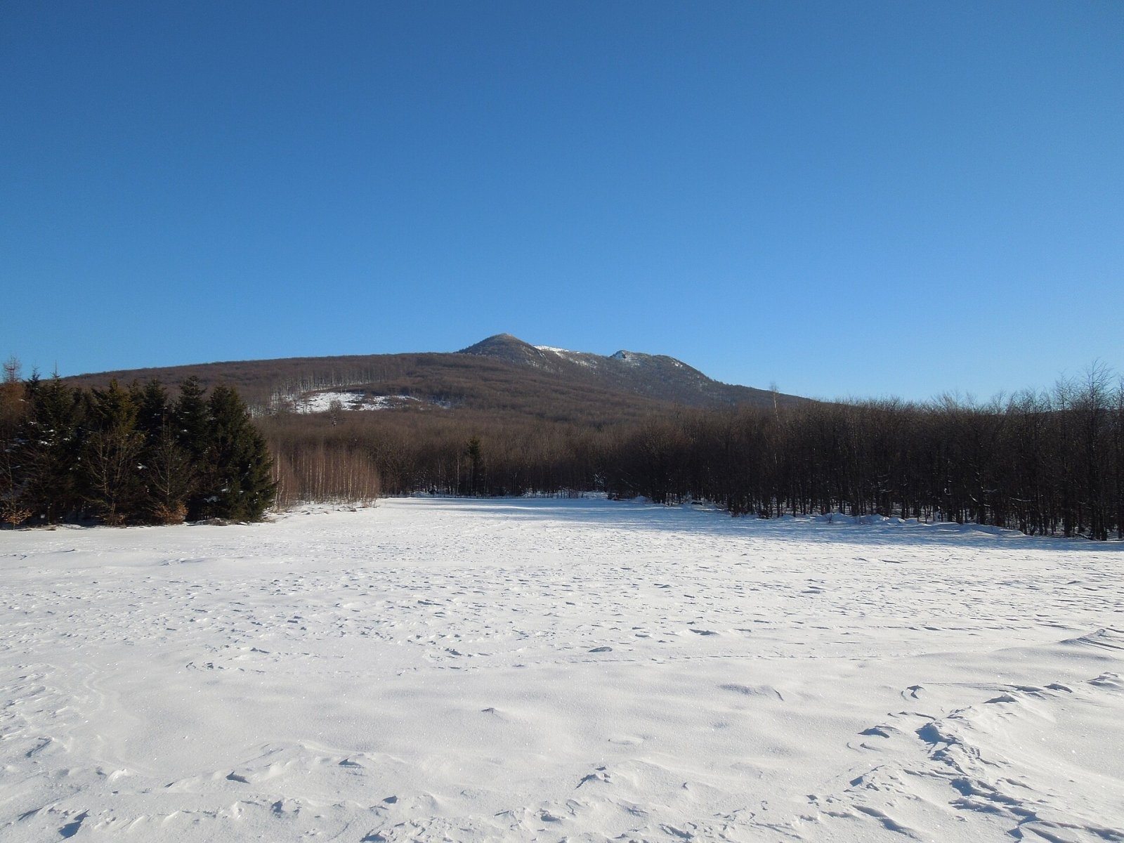
Vihorlat (Polish Wyhorlat) is the highest peak of the Vihorlat Mountains in eastern Slovakia, 1,076 m high (precisely 1,075.5 m). The whole range is named after it. The mountain stands in the Prešov Region, about 15 km east-south-east of Humenné, 20 km north-east of Michalovce and 11 km south-west of Snina, and is the highest point of Humenné district. Its prominence is 706 m, 12th in Slovakia. The summit is officially closed to hikers: it lies in the Valaškovce military district and in a strict nature reserve, and there is no marked trail to it.
Vihorlat is an extinct volcano. From afar it is easy to recognise by its seemingly «cut-off» top. It stands in the middle of the main ridge, which runs from Nežabec via Sninský kameň, Motrogon and Tŕstie to Vihorlat and on via Rozdielňa and Kyjov to Dlhá. The broad summit ridge has two tops 400 m apart; on the higher western one stands a massive reinforced-concrete pylon of 1931–1935, one of seventeen first-order trigonometric points of the first Czechoslovak Republic. The name is explained by the folk word «vy-hor-ľ-ať» — a place with many burnt clearings.
Can you climb it?
No. The summit lies in the Vihorlat National Nature Reserve (1986, about 51 ha) with the highest, fifth degree of protection: moving off marked trails is forbidden there, and there are none on the summit, so any movement is prohibited; fires, camping, picking plants and disturbing the peace are banned too. In addition, the area belongs to the Valaškovce military district: since 2012 military forests have been partly opened to the public, but entry is forbidden during exercises. Polish sources mention forest approaches via the Poľana pod Vihorlatom meadow — these are not marked routes and we do not recommend them.
Where to go instead
The best legal views of Vihorlat and over the Vihorlat Mountains are from Sninský kameň (about 1,006 m) — a trail to it from the Morské oko lake was marked as early as 1881 and still exists. These were among the first hiking trails in Slovakia outside the Tatras: in 1880 the Hungarian Carpathian Society built the first shelters here, at Morské oko and below Sninský kameň.
The view from the summit
Slovak sources describe a panorama into five countries from Vihorlat: Slovakia, Poland, Ukraine, Hungary and Romania. Almost 1,000 m below lies the East Slovak Lowland with the Zemplínska šírava reservoir, and Michalovce, Humenné and even Uzhhorod are visible. From the eastern top you can see the Bukovské vrchy, the Polish Bieszczady, Liutianska Holytsia, Polonyna Runa, Borzhava with Stiy and even the Gorgany; in exceptionally clear weather the High Tatras with Gerlachovský štít 148 km away, the Low Tatras with Ďumbier 181 km away, and Romania's Gutâi Mountains.
Nature
The summit areas belong to the Vihorlat primeval forest, inscribed on the UNESCO World Natural Heritage list in 2007 as part of the «Primeval Beech Forests of the Carpathians» — beeches older than 240 years grow here. The whole mountain lies in the Vihorlat Protected Landscape Area (1973), the smallest in Slovakia. Thanks to warm air from the lowland and the andesite substrate, thermophilous plants climb high on the southern slopes, while on the northern side beech forest reaches the summit, with mountain snowbell and alpine coltsfoot. The symbol of the range is the showy Telekia. Bears, wolves and lynx live in the forests, and short-toed eagles and lesser spotted eagles nest here.
Safety
Around you is a large, lonely forest and military land: do not leave marked trails. In an emergency call 112 or the Slovak Mountain Rescue Service (HZS): 18 300 (+421 18 300).
Photos: Stanislav Dusík, CC BY-SA 4.0; Milan Bališin, CC BY-SA 4.0; Milan Bališin, CC BY-SA 4.0; Milan Bališin, CC BY-SA 4.0; Milan Bališin, CC BY-SA 4.0 — Wikimedia Commons.
Getting there from Ukraine
Border crossings
- Uzhhorod – Vyšné Nemecké — road, 24/7
- Malyi Bereznyi – Ubľa — road, 24/7 For cars and buses; pedestrians not confirmed by the Ukrainian border service, lorries up to 3.5 t.
- Mali Selmentsi – Veľké Slemence (pedestrian) — pedestrian, 09:00–21:00 Kyiv time Pedestrians and cyclists only; inconvenient for the Tatras without onward transport.
- Chop – Čierna nad Tisou (rail) — rail, 24/7
By car
Lviv – Snina ≈241 km, ≈4 h 20 min without queues: H-13 via Sambir and the Uzhok Pass to Velykyi and Malyi Bereznyi → Malyi Bereznyi – Ubľa checkpoint → road 74 to Snina (≈27 km, ≈30 min from the border). From Uzhhorod: via Vyšné Nemecké (I/19 towards Sobrance, then II/566 and road 74) ≈65 km, ≈1 h 15 min; via Malyi Bereznyi – Ubľa ≈80 km, ≈1 h 40 min, but that crossing is usually less busy.
Checked 23.10.2026; border crossing hours and timetables change — check before you travel.
Location on the map
Water and shelter nearby
- Spring under Poľana1.2 km · Not verified · 918 m
- Zvorík Spring1.2 km · Not verified · 866 m
- Klin1.3 km · Not verified · 768 m
- Studnička Zvorík otočka Spring1.5 km · Not verified · 707 m
- Horec Spring1.6 km · Not verified · 909 m
- Spring below Malé Tŕstie1.9 km · Not verified · 847 m
- Líška2.5 km · Not verified · 812 m
- Poľovnícka chata Hut, 568 m2.6 km · Not verified · 568 m
- Trestiov Spring2.7 km · Not verified · 847 m
Comments
Trails nearby
All trails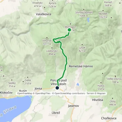 ModerateOne-dayMarkedPoruba pod Vihorlatom Sedlo RozdielElevation profile192–974 m13.2 kmascent 174 m≈ 3.5 h walking1 km from Vihorlat
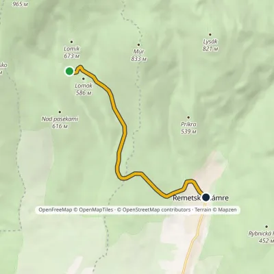 EasyOne-dayMarkedRemetské Hámre Stará koniareňElevation profile298–571 m5.4 kmascent 39 m≈ 1.5 h walking3 km from Vihorlat
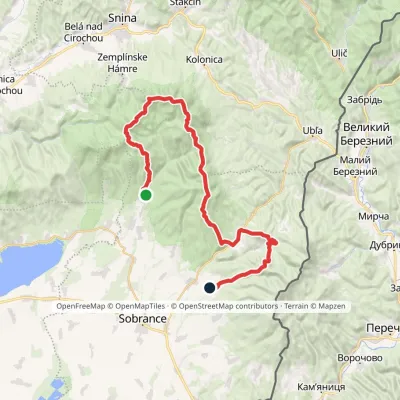 HardMulti-dayMarkedRemetské Hámre KoňušElevation profile272–1 023 m47.5 kmascent 2 062 m3.6 km from Vihorlat
Nearby attractions
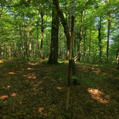 PeakMotrogonValaškovcealtitude 1 018 m · Volcanic Carpathians range4.1 km from VihorlatMotrogon is a 1,018 m summit in the Vihorlat Mountains of eastern Slovakia — according to Polish sources the fourth highest in the Vihorlat.
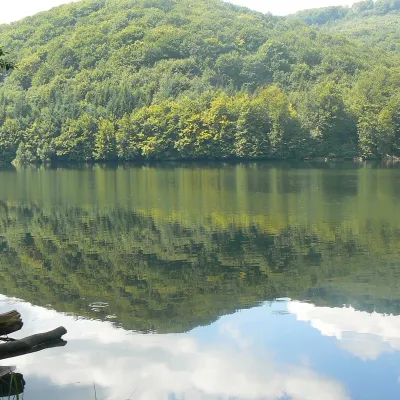 LakeMorské oko — the largest lake of the Vihorlat hillsZemplínske Hámre6.8 km from VihorlatNot to be confused with its Tatra namesake: this is Morské oko in the Vihorlat hills of eastern Slovakia, a few dozen kilometres from the Ukrainian border.
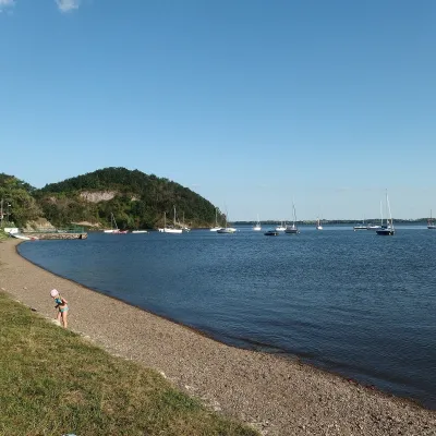 LakeZemplínska šírava — the “Slovak Sea” below the VihorlatKaluža13 km from VihorlatThe “Slovak Sea” by the Ukrainian border Zemplínska šírava is a large reservoir in eastern Slovakia, in the Bodrog basin below the Vihorlat hills.
Craft nearby
All craft places Water parks & thermal poolsThermalpark Šírava in Kaluža, Zemplínska ŠíravaKaluža13 km from VihorlatThermalpark Šírava (Thermalpark ŠÍRAVA) stands in the village of Kaluža on the northern shore of the Zemplínska Šírava — a large reservoir in eastern Slovakia.
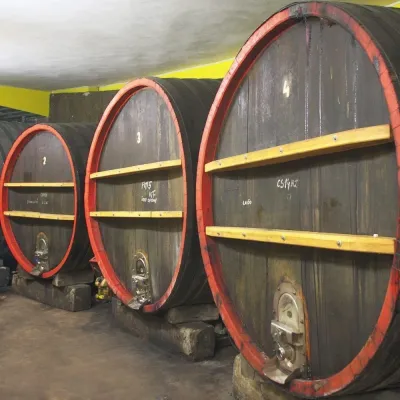 Wine & tastingsPivnica Orechová below Vihorlat: tastings in a deep wine cellarOrechová23 km from VihorlatVihorlat is a volcanic range in eastern Slovakia, best known for the Morské oko lake and its beech primeval forests.
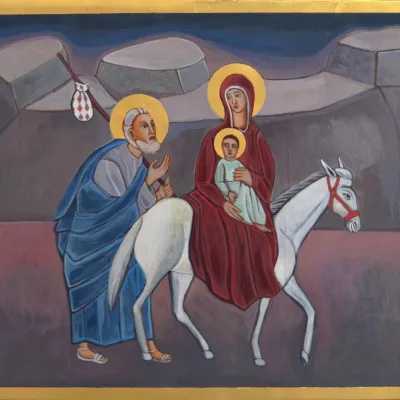 Crafts & workshopsVeraikon Icon Studio, Cisna: Carpathian icons and workshopsCisna39 km from VihorlatThe Veraikon Icon Studio (Pracownia Ikon Veraikon) in Cisna is, in its owners' words, the oldest and largest icon studio in the Bieszczady.
