Hala Długa below Turbacz
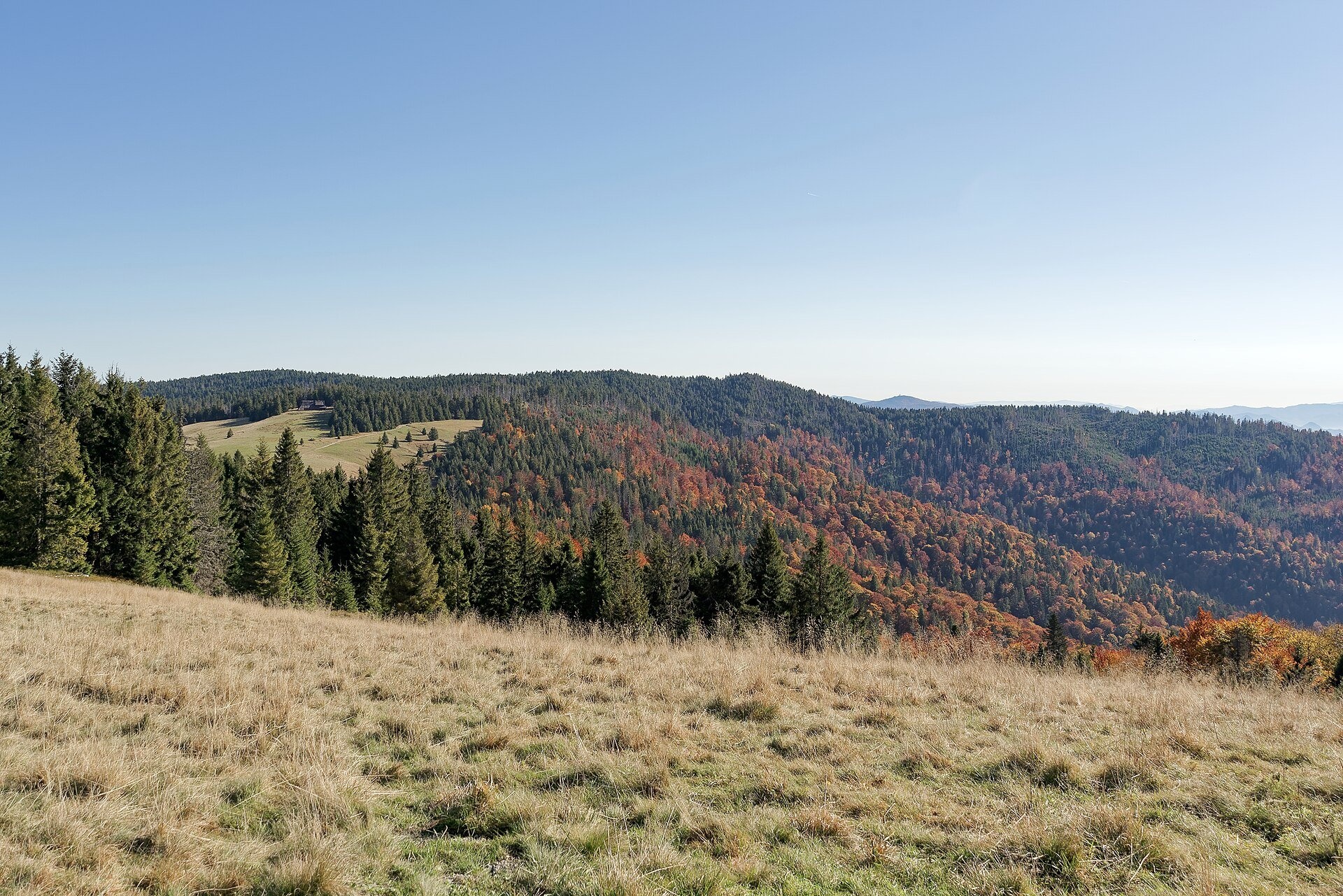
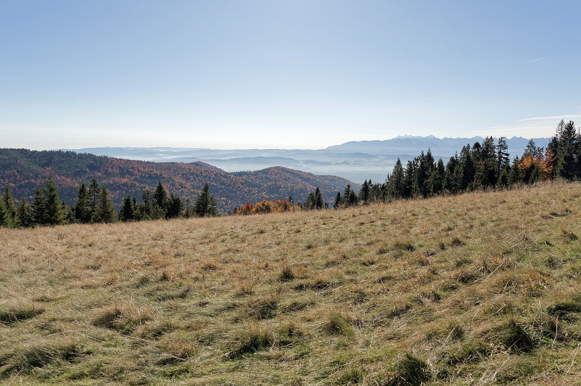
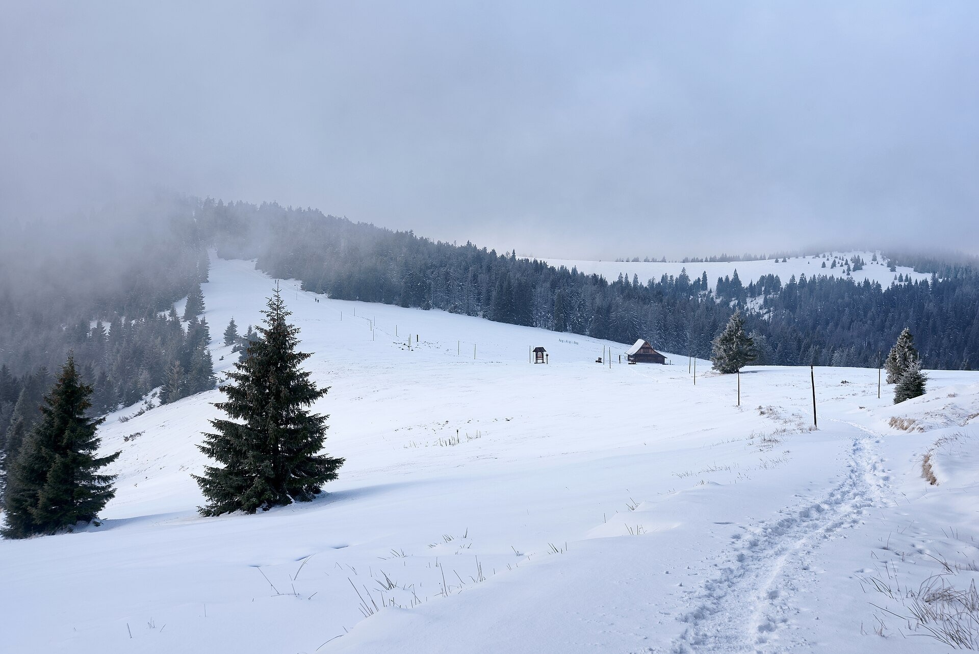
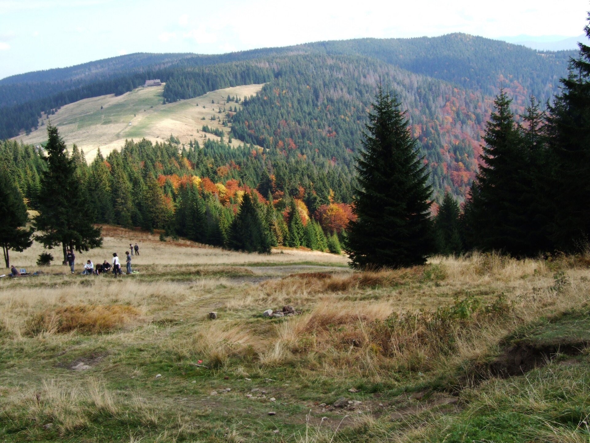
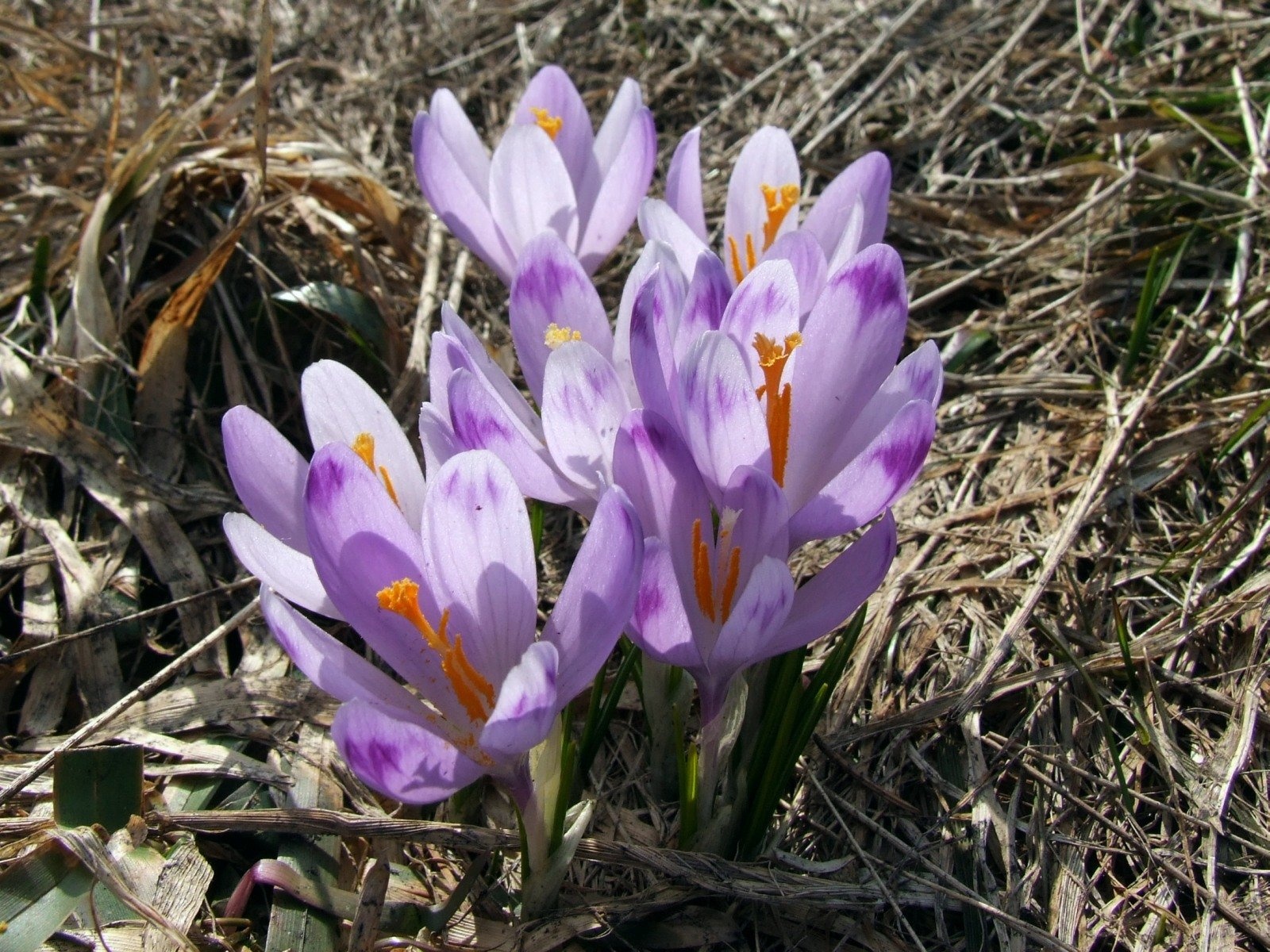
Hala Długa is a large mountain glade on the ridge of Turbacz, the highest peak of the Gorce (1,310 m). It stretches from the hut below Turbacz eastwards across the Długa Pass at 1,160–1,270 m and covers 33.77 ha. In fact it is three glades merging into one: Wolnica, Wzorowa and Wierchy Zarębskie. The northern part belongs to the village of Zasadne, the southern part to Łopuszna; the glade lies in the Gorce National Park, which has set up information boards here.
The first glades on the Gorce summits appeared as early as the 14th century thanks to the Vlachs, who brought summit grazing to the Carpathians; later the local highlanders, the Zagórzanie, carried on the tradition. Hala Długa was intensively grazed long after the Second World War, and grazing stopped in the 1990s. To stop the glade from turning into forest and to keep the shepherding culture alive, in 2003 the park reintroduced cultural sheep grazing. In the middle of the glade, below the ridge saddle (1,202 m), stands a shepherd's hut where in season you can taste oscypek cheese and żętyca whey.
Next to the hut rises an iron cross in memory of Albina Białoń, a young girl shot by the Germans on 17 July 1943 while trying to warn partisans. During the war the Turbacz hut and other buildings on the ridge often sheltered partisans. Hala Długa is also a botanical treasure: alpine hawkweed, mountain thyme, stemless carline thistle, mountain avens, alpine meadow-grass, Carpathian soldanella and orchids such as globe orchid, fragrant orchid and common twayblade grow here. The park calls its southern part, Wierchy Zarębskie, the most valuable glade of the whole Gorce National Park for its flora. Birds include the rare water pipit as well as goshawk, sparrowhawk and buzzard. In spring crocuses bloom on the glade.
What to see and do
- The panorama — neighbouring Gorce peaks (Czoło Turbacza, Mostownica, Kudłoń, Jaworzyna Kamienicka, Kiczora, the Lubań range) and further the Island and Sącz Beskids, the Pieniny and the Tatras.
- The shepherd's hut with sheep's cheese and Albina Białoń's cross in the middle of the glade.
- Wierchy Zarębskie — the southern edge of the pasture with the richest flora in the park (from the trail only!).
- The Władysław Orkan PTTK hut (1,283 m) at the edge of Wolnica — the third hut on Turbacz: the first was burned in 1933, the second was set on fire by partisans in 1943.
- In winter a 300 m ski lift runs on the glade (dismantled for summer).
How to get there
The red Main Trail of Beskidy runs along the ridge across the pasture. From the east, from the Knurowska Pass via Kiczora and Polana Gabrowska, it is 8.5 km, 3 h (2 h 05 min back); from Gorc via Jaworzyna and Trzy Kopce 10.4 km, 2 h 50 min. From Koninki (Poręba Wielka), from the car park at the chairlift, the trail via Suchy Groń and Czoło Turbacza reaches Turbacz in about 2 h 30 min (1 h 50 min down). Trails to Turbacz also lead from Nowy Targ — via Bukowina Miejska and Bukowina Waksmundzka — and from Łopuszna. From Polana Gabrowska the trail Grywałd – Polana Gabrowska also comes up to the pasture. All are ordinary moderate mountain hikes of 5–7 hours there and back, without exposed sections.
Season and safety
Most of the pasture lies in the Gorce National Park: as of October 2026 a ticket costs 10 zł (reduced 5 zł) per day, sold at eparki.pl and at sales points; trail sections along the park boundary, including the red ridge trail from Stare Wierchy to Turbacz, are free. The park recommends walking from dawn to dusk, drones are banned without the director's permission, and dogs are allowed only on designated trails — the red Main Beskid Trail is one of them. The best time is May (crocuses), June–July (flowers) and October (colourful forests and long views of the Tatras). The GOPR number is 985 or 601 100 300.
Nearby
From the pasture you can see the neighbouring Gorce glades; the trail Szczebel – Turbacz – Kowaniec crosses the Turbacz summit and descends to Nowy Targ, and the trail Brzeźnica – Kacwin leads over Turbacz south towards the Pieniny. Close by to the east is Polana Jaworzyna Kamienicka.
Official website: gpn.gov.pl
Photos: Jakub Hałun, CC BY 4.0, Wikimedia Commons; Jakub Hałun, CC BY-SA 4.0, Wikimedia Commons; Jerzy Opioła, CC BY-SA 4.0, Wikimedia Commons; Krzysztof Dudzik-Górnicki (User:ToSter), CC BY-SA 3.0, Wikimedia Commons.
Getting there from Ukraine
Border crossings
- Krakovets – Korczowa — road, 24/7
- Shehyni – Medyka — road, 24/7 Pedestrian crossing is not confirmed by the Ukrainian border service — check dpsu.gov.ua before the trip.
- Smilnytsia – Krościenko — road, 24/7
- Hrushiv – Budomierz — road, 24/7
- Mostyska – Przemyśl (rail) — rail, 24/7
By car
Lviv – Szczawnica ≈384 km, ≈5 h 25 min without queues: M-10 → Krakovets – Korczowa → A4 to Brzesko (≈198 km) → DK75 to Nowy Sącz → DW969 via Stary Sącz and Łącko to Krościenko nad Dunajcem → Szczawnica. ≈306 km, ≈4 h from the border.
Checked 23.10.2026; border crossing hours and timetables change — check before you travel.
Location on the map
Water and shelter nearby
- Miłości Spring270 m · Not verified · 1 227 m
- Turbacz Hut990 m · Standing · 1 283 m
- GPN Hut2.3 km · Not verified · 1 095 m
- Spring under Buk, 1 160 m2.3 km · Not verified · 1 160 m
- Spring below Wisielakówka2.5 km · Not verified · 1 161 m
- Hut below Rozdziele2.7 km · Not verified · 1 155 m
- Spring below Rozdziele2.7 km · Not verified · 1 089 m
- Spring below Bukowina Waksmundzka (south-east slope), 1 013 m2.9 km · Not verified · 1 013 m
Comments
Trails nearby
All trails HardMulti-dayMarkedMain Trail of BeskidyElevation profile309–1 723 m499.9 kmascent 19 519 munder 1 km from Hala Długa below Turbacz
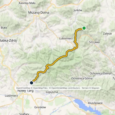 HardMulti-dayMarkedMały Krzystanów KowaniecElevation profile656–1 289 m28.7 kmascent 1 194 m≈ 9.5 h walkingunder 1 km from Hala Długa below Turbacz
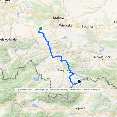 HardMulti-dayMarkedBrzeźnica KacwinElevation profile220–1 289 m143 kmascent 4 206 munder 1 km from Hala Długa below Turbacz
Nearby attractions
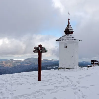 Mountain meadowPolana Jaworzyna Kamienickaaltitude 1 265 m2.1 km from Hala Długa below TurbaczPolana Jaworzyna Kamienicka (also simply Jaworzyna) is a mountain glade on the north-eastern slope of Jaworzyna Kamienicka (1,288 m), the second-highest peak of the...
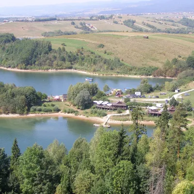 LakeLake Czorsztyn16 km from Hala Długa below TurbaczLake Czorsztyn (Jezioro Czorsztyńskie) is a reservoir on the Dunajec river in the Nowy Targ Basin, between the Pieniny and the Gorce.
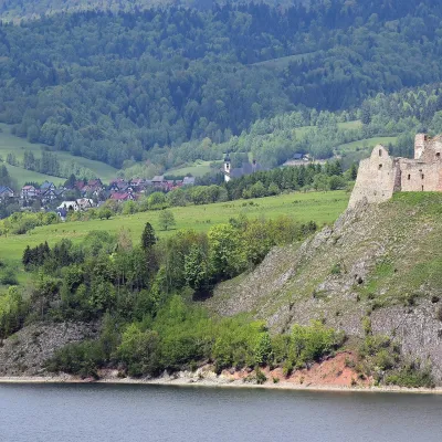 CastleCzorsztyn Castle ruins18 km from Hala Długa below TurbaczThe ruins of Czorsztyn Castle rise on a limestone rock above Lake Czorsztyn, on the border between Podhale and the Pieniny mountains.
Craft nearby
All craft places Markets & fairsNowy Targ Fair (Nowa Targowica)9 km from Hala Długa below TurbaczThe fair in Nowy Targ is the largest and oldest market in Podhale. On Thursdays and Saturdays highlanders from the surrounding villages, Slovaks from across the border...
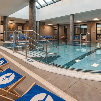 Water parks & thermal poolsTermy Gorce thermal baths9.1 km from Hala Długa below TurbaczTermy Gorce is a small, cosy thermal complex in the village of Poręba Wielka, in the municipality of Niedźwiedź, at the foot of the Gorce Mountains.
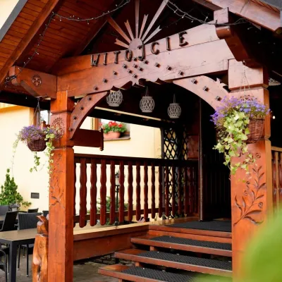 Koliby & Hutsul cuisineKarcma u Borzanka, Nowy Targ: highland food in an 18th-century inn9.6 km from Hala Długa below TurbaczKarcma u Borzanka is a highland tavern in the oldest coaching inn of Nowy Targ, the capital of Podhale.
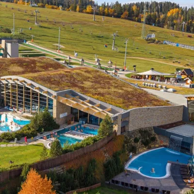 Water parks & thermal poolsTerma Bania18 km from Hala Długa below TurbaczTerma Bania is a large thermal water park in the village of Białka Tatrzańska, at the foot of the Kotelnica ski slope.
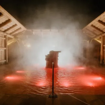 Water parks & thermal poolsTermy Gorący Potok (Szaflary)18 km from Hala Długa below TurbaczTermy Gorący Potok is a complex of outdoor thermal pools in Szaflary, between Nowy Targ and Zakopane, about 15 km from Zakopane.
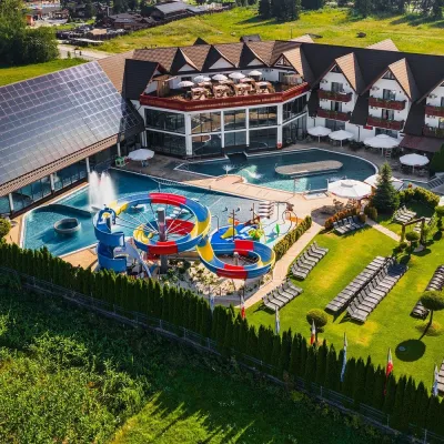 Water parks & thermal poolsTermy Szaflary (Termy Podhalańskie)18 km from Hala Długa below TurbaczTermy Szaflary is a thermal complex in the village of Szaflary, between Nowy Targ and Zakopane. It used to be known as Termy Podhalańskie, a name still found in older...
