Mały Krzystanów – Kowaniec
Trail map
Route, springs and shelters: © OpenStreetMap contributors (ODbL) · elevation: Copernicus DEM © DLR e.V., © Airbus DS · Data & licences
About the trail
Route Mały Krzystanów – Kowaniec. Has yellow marking (regional route, PTTK). Waymarking data: OpenStreetMap (© OpenStreetMap contributors, ODbL).
Officially marked regional tourist route. Marking is yellow, sign — horizontal stripe on a white background. Marked and maintained by: PTTK. Length of the route — 28.7 km. Location: mountain range — Gorce, Poland.
At a glance
A route of 28.7 km with 1,194 m of ascent from Mały Krzystanów to Kowaniec. Estimated walking time: about 9 h, not counting stops — a very long day, so it is easier split into 2 days. Difficulty: hard. Waymarking: yellow.
Route stages
- 0–4 kmGentle ups and downs at 900–1,060 m, past Mały Krzystonów, Krzystonów, Pieżgula, Jasień
- 4–10 kmDescent of 250 m (down to 747 m)
- 10–14 kmClimb of 460 m to Kudłoń (1,274 m)
- 14–17 kmDescent of 240 m to Borek Pass
- 17–21 kmClimb of 260 m to Turbacz (1,310 m)
- 21–29 kmDescent of 620 m to Kowaniec
Steepest kilometre: km 12–13, a climb of 210 m (≈21%), near Gorc Troszacki.
Water and overnight stays
Springs near the trail: at km 3 and 23. There are no springs between km 3 and 23 — carry at least 3.5 l of water.
Huts and shelters near the trail: Turbacz Hut (km 21).
A possible split into days:
- Day 1: km 0–13, ≈4.5 h — overnight: no shelter nearby on the map, bring a tent
- Day 2: km 13–29, ≈4.5 h — finish
When to go
Best time: May to October. In winter deep snow is possible, so experience and winter gear are needed.
Getting there
Start: Mały Krzystanów. This is a one-way route: the finish is 21 km from the start in a straight line, so plan your way back in advance.
FAQ
- How long does the route take?
- Estimated walking time: about 9 h, not counting stops — a very long day, so it is easier split into 2 days.
- Is there water on the route?
- Springs near the trail: at km 3 and 23. There are no springs between km 3 and 23 — carry at least 3.5 l of water.
- Where can I stay overnight?
- Huts and shelters near the trail: Turbacz Hut (km 21).
Water and shelter on the route
- Zimna woda Spring, 1 032 mkm 3.3 from the start · 60 m off the path · Not verified · 1 032 m
- Turbacz Hutkm 21.1 from the start · Standing · 1 283 m
- Spring under Buk, 1 160 mkm 22.6 from the start · 220 m off the path · Not verified · 1 160 m
Comments
Trails nearby
All trails
Craft nearby
All craft places Water parks & thermal poolsTermy Gorce thermal bathsNiedźwiedź14 km from the trailTermy Gorce is a small, cosy thermal complex in the village of Poręba Wielka, in the municipality of Niedźwiedź, at the foot of the Gorce Mountains.
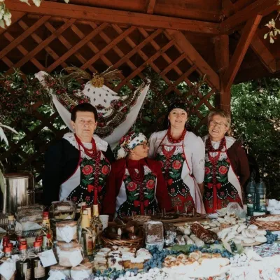 Markets & fairsFruit Harvest Festival in Łącko: village stands, fruit and folkloreŁącko15 km from the trailŁącko, in the Dunajec valley between Stary Sącz and the Pieniny, is one of Poland's best-known fruit-growing areas: the slopes around are covered with apple, pear and...
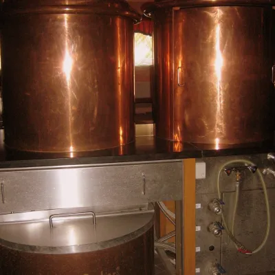 Craft shopsCistercian monastery shop, Szczyrzyc: abbey cheese, milk and Gryf beerSzczyrzyc17 km from the trailIts heart is the Cistercian abbey: the monks arrived in the first half of the 13th century and, according to the monastery itself, have lived here without interruption...
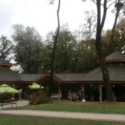 Water parks & thermal poolsRabka-Zdrój spa: brine graduation tower, pump rooms, treatmentsRabka-Zdrój22 km from the trailRabka-Zdrój is a spa in the Raba valley between the Gorce, the Beskid Wyspowy and the Beskid Makowski, halfway from Kraków to Zakopane.
 Markets & fairsNowy Targ Fair (Nowa Targowica)Nowy Targ23 km from the trailThe fair in Nowy Targ is the largest and oldest market in Podhale. On Thursdays and Saturdays highlanders from the surrounding villages, Slovaks from across the border...
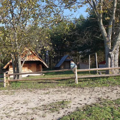 Cheese dairies & pasturesMajerz Meadow Shepherd's Hut, Pieniny National Park: oscypek and żętycaKrośnica24 km from the trailMajerz meadow (hala) sits on a 689 m hill between Czorsztyn-Nadzamcze and the village of Hałuszowa, above Lake Czorsztyn.
