Rudná magistrála: Veľký Inovec – Kadak
Trail map
Route, springs and shelters: © OpenStreetMap contributors (ODbL) · elevation: Copernicus DEM © DLR e.V., © Airbus DS · Data & licences
About the trail
Route Rudná magistrála: Veľký Inovec – Kadak. Has red marking (national route №0804, KST). Waymarking data: OpenStreetMap (© OpenStreetMap contributors, ODbL).
Officially marked national tourist route No. 0804. Marking is red, sign — horizontal stripe on a white background. Marked and maintained by: KST. Length of the route — 195.4 km. Location: mountain range — Stredoslovenske hory, Slovakia.
At a glance
A multi-day route of 195.4 km with 6,404 m of ascent from Veľký Inovec to Kadak. Estimated time: 9 days of 6–7 h of walking (about 59.5 h in total, not counting stops). Difficulty: hard. Waymarking: red.
Route stages
- 0–15 kmDescent of 690 m (down to 199 m)
- 15–97 kmGentle ups and downs at 200–940 m, past Holá, Makytová, Ďurovie vrch, Červenákov vrch
- 97–111 kmClimb of 1,050 m to Poľana (1,458 m)
- 111–195 kmGentle ups and downs at 630–1,450 m, past Kopce, Vepor, Hrb, Klenovský Vepor
Steepest kilometre: km 182–183, a descent of 270 m (≈27%), near Burda Hut.
Water and overnight stays
Springs near the trail: at km 0, 4, 9, 18, 24, 26, 27, 29, 30 and 32 etc.. There are no springs between km 74 and 87 — carry at least 2.5 l of water.
Huts and shelters near the trail: Tourist Hut on Veľký Inovec (km 0), Ruženka Hut (km 104), Jasenová Hut (km 118), Hut under Hrb (km 125), Obrubovanec Hut (km 148), Hut under Varta (km 166), Burda Hut (km 184), Nižná Kľaková Pass (km 191).
A possible split into days:
- Day 1: km 0–23, ≈6.5 h — overnight: no shelter nearby on the map, bring a tent
- Day 2: km 23–46, ≈6.5 h — overnight: no shelter nearby on the map, bring a tent
- Day 3: km 46–69, ≈6.5 h — overnight: no shelter nearby on the map, bring a tent
- Day 4: km 69–91, ≈6.5 h — overnight: no shelter nearby on the map, bring a tent
- Day 5: km 91–110, ≈6.5 h — overnight: no shelter nearby on the map, bring a tent
- Day 6: km 110–133, ≈6.5 h — overnight: no shelter nearby on the map, bring a tent
- Day 7: km 133–155, ≈6.5 h — overnight: no shelter nearby on the map, bring a tent
- Day 8: km 155–176, ≈6.5 h — overnight: no shelter nearby on the map, bring a tent
- Day 9: km 176–195, ≈6.5 h — finish
When to go
Best time: May to October. In winter deep snow is possible, so experience and winter gear are needed.
Getting there
Start: Veľký Inovec. This is a one-way route: the finish is 115 km from the start in a straight line, so plan your way back in advance.
FAQ
- How long does the route take?
- Estimated time: 9 days of 6–7 h of walking (about 59.5 h in total, not counting stops).
- Is there water on the route?
- Springs near the trail: at km 0, 4, 9, 18, 24, 26, 27, 29, 30 and 32 etc.. There are no springs between km 74 and 87 — carry at least 2.5 l of water.
- Where can I stay overnight?
- Huts and shelters near the trail: Tourist Hut on Veľký Inovec (km 0), Ruženka Hut (km 104), Jasenová Hut (km 118), Hut under Hrb (km 125), Obrubovanec Hut (km 148), Hut under Varta (km 166), Burda Hut (km 184), Nižná Kľaková Pass (km 191).
Water and shelter on the route
- Tourist Hut on Veľký Inoveckm 0 from the start · 230 m off the path · Standing · 854 m
- Spring below Veľký Inovec (south-west slope)km 0 from the start · 250 m off the path · Not verified · 825 m
- Spring below Viecha (north-west slope)km 4 from the start · 130 m off the path · Not verified · 571 m
- Drinking water below Kalvária (north-east slope), 234 mkm 9.2 from the start · 280 m off the path · Not verified · 234 m
- Spring Pod Tajchomkm 18 from the start · 230 m off the path · Not verified · 286 m
- Spring below Podžiarik (east slope)km 24.1 from the start · 200 m off the path · Not verified · 656 m
- Spring below Holý vrch (east slope), 623 mkm 24.6 from the start · 250 m off the path · Not verified · 623 m
- Spring below Nad táľmi (north-west slope)km 25.3 from the start · 130 m off the path · Not verified · 684 m
- Spring below Nicov vrchkm 26.4 from the start · 90 m off the path · Not verified · 674 m
- Drinking water below Šariansky vrchkm 28.9 from the start · Not verified · 663 m
- Spring below Vtáčnik (south slope), 615 mkm 30 from the start · 220 m off the path · Not verified · 615 m
- Sikenica Springkm 30.7 from the start · 200 m off the path · Not verified · 669 m
- Spring below Haviarsky vrchkm 32.1 from the start · 130 m off the path · Not verified · 688 m
- Spring below Hatlabov vrch (north-west slope)km 34.5 from the start · 170 m off the path · Not verified · 764 m
- Spring below Holákm 34.9 from the start · 50 m off the path · Not verified · 786 m
- Brozmanov Springkm 36.1 from the start · 180 m off the path · Not verified · 696 m
- Spring below Buková hora (south slope)km 37.4 from the start · 220 m off the path · Not verified · 686 m
- Spring near Bieber Minekm 40 from the start · 290 m off the path · Not verified · 596 m
- Drinking water below Galgenbergkm 43.5 from the start · 240 m off the path · Not verified · 630 m
- Alžbetin Springkm 47.6 from the start · 180 m off the path · Not verified · 540 m
- Všivavá Springkm 49.7 from the start · 240 m off the path · Not verified · 615 m
- Spring below Šibeničný vrchkm 50.4 from the start · 120 m off the path · Not verified · 568 m
- Spring below Breziny (north slope)km 52.3 from the start · Not verified · 644 m
- Spring below Holý vrch (north-west slope), 682 mkm 54.2 from the start · 60 m off the path · Not verified · 682 m
- Spring below Fiľakovokm 56.8 from the start · Not verified · 653 m
- Spring below Nad Hlbokýmkm 67 from the start · Not verified · 438 m
- Spring below Slepov kopeckm 72.9 from the start · 130 m off the path · Not verified · 623 m
- Well below Ostrôžkakm 86.1 from the start · Not verified · 820 m
- Drinking water below Voliarkykm 95.5 from the start · 50 m off the path · Not verified · 383 m
- Drinking water below Kalvária (south-west slope), 415 mkm 97.7 from the start · Not verified · 415 m
- Jánošík Captured Springkm 98.5 from the start · 270 m off the path · Not verified · 430 m
- Drinking water below Kalamárkakm 102.6 from the start · Not verified · 767 m
- Ruženka Hutkm 102.8 from the start · 150 m off the path · Not verified · 782 m
- Spring below Predná Poľanakm 107.1 from the start · Not verified · 1 207 m
- Spring, 1 232 mkm 108.1 from the start · 260 m off the path · Not verified · 1 232 m
- Žliebky Captured Spring, 1 310 mkm 109 from the start · Not verified · 1 310 m
- Spring below Poľana (west slope)km 109.4 from the start · 290 m off the path · Not verified · 1 235 m
- Spring below Brusniansky grúň (south-east slope)km 115 from the start · 60 m off the path · Not verified · 1 214 m
- Jasenová Hutkm 117 from the start · Not verified · 1 119 m
- Spring under Jaseňová Saddlekm 117.6 from the start · 250 m off the path · Not verified · 1 107 m
- Spring below Hájny grúň (north slope)km 119.7 from the start · 190 m off the path · Not verified · 1 076 m
- Spring below Veporkm 120.5 from the start · Not verified · 1 101 m
- Hut under Hrbkm 124.2 from the start · 80 m off the path · Standing · 1 088 m
- Spring below Ostrý grúň (east slope)km 128.9 from the start · Not verified · 772 m
- Spring below Gazdov (north-west slope)km 131.7 from the start · Not verified · 858 m
- Spring below Gazdov (north slope)km 132.7 from the start · Not verified · 870 m
- Spring below Gazdov (north-east slope)km 133.3 from the start · Not verified · 884 m
- Spring below Pod Zákľukamikm 137.2 from the start · Not verified · 656 m
- Zákľučná Springkm 141 from the start · 110 m off the path · Not verified · 943 m
- Obrubovanec Hutkm 146.5 from the start · 60 m off the path · Not verified · 988 m
- Spring below Obrubovaneckm 146.5 from the start · 80 m off the path · Not verified · 984 m
- Spring below Tlstý javorkm 149.4 from the start · 110 m off the path · Not verified · 995 m
- Spring below Sedmák (east slope)km 153.7 from the start · 60 m off the path · Not verified · 1 025 m
- Spring below Tri chotáre (west slope)km 155.9 from the start · Not verified · 994 m
- Hut under Vartakm 164.2 from the start · 260 m off the path · Not verified · 1 069 m
- Spring below Klenovský Veporkm 164.2 from the start · 280 m off the path · Not verified · 1 065 m
- Spring below Báňovakm 167.6 from the start · 50 m off the path · Not verified · 1 033 m
- Spring below Bánovo Passkm 168.7 from the start · Not verified · 959 m
- Spring below Dielik Passkm 175.2 from the start · Not verified · 734 m
- Spring below Kučalachkm 177.6 from the start · Not verified · 966 m
- Rimava Springkm 180.3 from the start · 280 m off the path · Not verified · 1 275 m
- Spring below Vysoký vrch (north-west slope)km 182.1 from the start · 130 m off the path · Not verified · 1 027 m
- Burda Hutkm 182.1 from the start · 90 m off the path · Standing · 1 031 m
- Spring below Vysoký vrch (east slope)km 184.8 from the start · Not verified · 1 056 m
- Spring below Kľak (south slope)km 189.1 from the start · 290 m off the path · Not verified · 1 114 m
- Nižná Kľaková Passkm 189.4 from the start · Not verified · 1 202 m
- Spring below Kadakkm 193.7 from the start · 50 m off the path · Not verified · 1 173 m
Comments
Trails nearby
All trails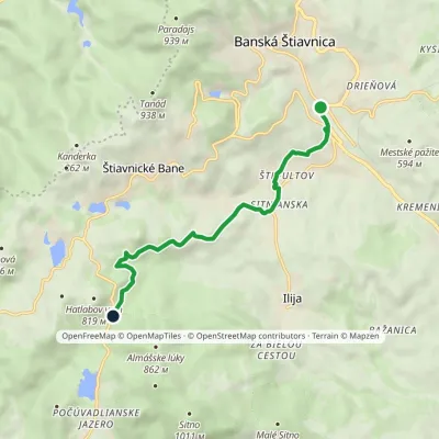 EasyOne-dayMarkedBanská Štiavnica, Križovatka Sedlo KrížnaElevation profile516–707 m7.3 kmascent 215 m≈ 2.5 h walking
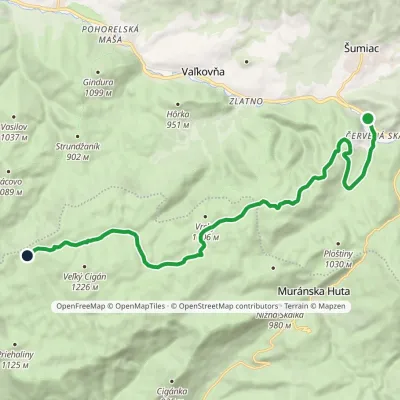 ModerateOne-dayMarkedČervená Skala Well on Muránska planinaElevation profile790–1 217 m16.4 kmascent 605 m≈ 5.5 h walking
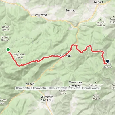 HardTwo-dayMarkedRudná magistrála: Kadak StolicaElevation profile706–1 479 m23.5 kmascent 833 m≈ 7.5 h walking
Craft nearby
All craft places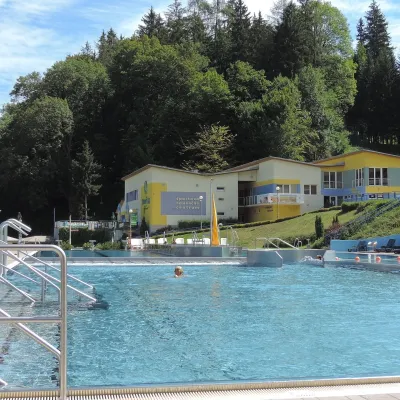 Water parks & thermal poolsVodný raj thermal pools in VyhneVyhne21 km from the trailVodný raj Vyhne ("Water Paradise") is a public pool complex with thermal water in the village of Vyhne, in a quiet wooded valley of the Štiavnické vrchy hills near the...
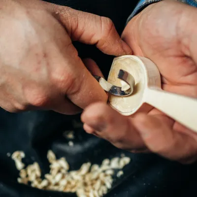 Crafts & workshopsDo dielne, Počúvadlo: woodcarving courses near Banská ŠtiavnicaPočúvadlo22 km from the trailHere, in the quiet among the hills, works the small workshop Do dielne (“To the workshop”). Its owner Dušan Budinský ran a hairdresser’s in Bratislava for eight years,...
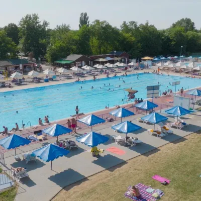 Water parks & thermal poolsMargita-Ilona thermal swimming area near LeviceLevice26 km from the trailMargita-Ilona is a summer swimming area with thermal water 6 km from the town of Levice towards Šahy, in the Kalinčiakovo part of the town.
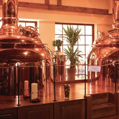 Craft beer & breweriesERB brewery in Banská Štiavnica: brewery tour and tastingBanská Štiavnica26 km from the trailBanská Štiavnica is an old mining town in the caldera of an extinct volcano and a UNESCO World Heritage site.
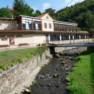 Water parks & thermal poolsSklené Teplice: Parenica cave steam bath and thermal bathsSklené Teplice27 km from the trailSklené Teplice is a small spa in a wooded valley of the Štiavnické vrchy hills, a few kilometres from the Hron valley and about 8 km from Banská Štiavnica.
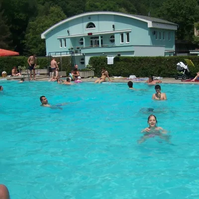 Water parks & thermal poolsChalmová Thermal Pool near PrievidzaBystričany29 km from the trailChalmová Thermal Pool (Termálne kúpalisko Chalmová) is a public pool complex in the village of Chalmová, part of the municipality of Bystričany, about 14 km south of...
