Mountain shelter
Hut under Hrb
Slovakia · Slovak Central Mountains range · 1 088 m
Condition
StandingNo hikers’ reports yet. According to open data the hut is open — check its website or call before setting out.
Last edited on the OSM map 03.12.2024
- 1 088 m
- Staffed
Practical info
- Local name: Chata pod Hrbom
- Contacts: +421 915 854 418 · chatapodhrbom.sk
About
Slovak Central Mountains range, about 1 090 m above sea level. 5 of the site’s trails pass nearby, including “Ľubietová – Saddle under Hrb, hut”.
The hut is staffed.
On the map
Coordinates: 48.73675, 19.45380
How to get there
Trails nearby
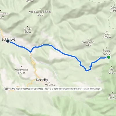 EasyOne-dayMarkedĽubietová Saddle under Hrb, hutElevation profile472–1 088 m8.6 kmascent 3 m≈ 2 h walking
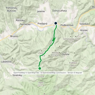 EasyOne-dayMarkedLopej Sedlo pod Hrbom, hutElevation profile450–1 164 m12.5 kmascent 80 m≈ 3.5 h walking
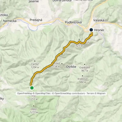 ModerateOne-dayMarkedChvatimech Sedlo pod Hrbom, hutElevation profile473–1 172 m13.3 kmascent 233 m≈ 4 h walking
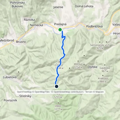 ModerateOne-dayMarkedPredajná Saddle below Hrb, hutElevation profile438–1 180 m10.3 kmascent 805 m≈ 4 h walking
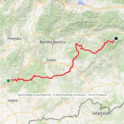 HardMulti-dayMarkedRudná magistrála: Veľký Inovec KadakElevation profile196–1 458 m195.4 kmascent 6 404 m
Report the condition
Been here recently? Tell us what you saw and add photos — your report appears on the page right away with today’s date.
No photos yet — send yours together with a condition report.
