Tajov – Ortúty, cottages
Trail map
Route, springs and shelters: © OpenStreetMap contributors (ODbL) · elevation: Copernicus DEM © DLR e.V., © Airbus DS · Data & licences
About the trail
Route Tajov – Ortúty, cottages. Has yellow marking (regional route №8442, KST). Waymarking data: OpenStreetMap (© OpenStreetMap contributors, ODbL).
Officially marked regional tourist route No. 8442. The marking is yellow, the sign is a horizontal stripe on a white background. Marked and maintained by: KST. Length of the route — 6.5 km. Location: mountain range — Strednoslovenske hory, Slovakia.
At a glance
A short route of 6.5 km with 319 m of ascent from Tajov to Ortúty, cottages. Estimated walking time: about 2 h, not counting stops. Difficulty: easy. Waymarking: yellow.
Route stages
- 0–4.5 kmClimb of 290 m (up to 761 m)
- 4.5–6.5 kmGentle ups and downs at 700–780 m
Steepest kilometre: km 0.5–1.5, a climb of 100 m (≈10%).
Water and overnight stays
Springs near the trail: at km 0, 2.5, 4 and 6.5.
When to go
The route can be walked most of the year; it is most comfortable from April to October.
Getting there
Start: Tajov. This is a one-way route: the finish is 4 km from the start in a straight line, so plan your way back in advance.
FAQ
- How long does the route take?
- Estimated walking time: about 2 h, not counting stops.
- Is there water on the route?
- Springs near the trail: at km 0, 2.5, 4 and 6.5.
Water and shelter on the route
- Spring below Malý komprdkm 0.2 from the start · 150 m off the path · Not verified · 474 m
- Spring below Holý vŕšok (north-east slope), 634 mkm 2.5 from the start · Not verified · 634 m
- Gálkovo Springkm 3.4 from the start · Not verified · 683 m
- Spring below Suchý vrch (south-west slope), 706 mkm 4 from the start · 190 m off the path · Not verified · 706 m
- Krvavá studnička Springkm 6.5 from the start · 80 m off the path · Not verified · 689 m
Comments
Trails nearby
All trails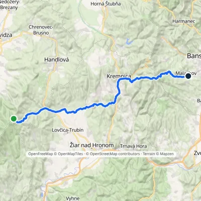 HardMulti-dayMarkedMalachov Tri ChotáreElevation profile363–1 202 m43.7 kmascent 1 164 m≈ 13.5 h walking
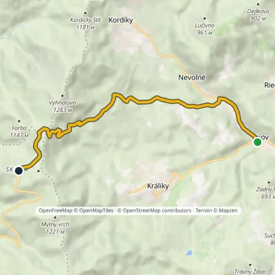 ModerateOne-dayMarkedTajov SkalkaElevation profile468–1 195 m8.9 kmascent 728 m≈ 3.5 h walking
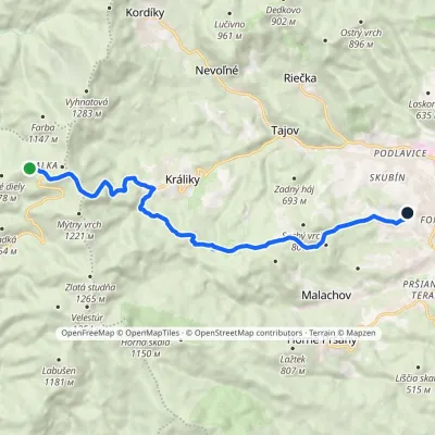 ModerateOne-dayMarkedChodník Kamila LinhartaElevation profile414–1 214 m12.8 kmascent 167 m≈ 3.5 h walking
Craft nearby
All craft places Craft shopsÚĽUV Banská Bystrica: folk-craft shop and craft schoolBanská Bystrica5.6 km from the trailÚĽUV (Ústredie ľudovej umeleckej výroby, the Centre for Folk Art Production) is a state institution that has looked after Slovak folk crafts since 1945: it keeps a...
 Craft beer & breweriesUrpiner brewery in Banská Bystrica: tour and beer from the tankBanská Bystrica6.4 km from the trailBanská Bystrica is the centre of Central Slovakia and grew rich on copper mining in the 14th–16th centuries.
 Craft producersKremnica gingerbread: the Haurík family bakery since 1922Kremnica12 km from the trailKremnica is an old mining town in the Kremnica Mountains where coins have been struck for more than six centuries.
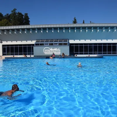 Water parks & thermal poolsKováčová: thermal spa and Holidaypark aquapark near ZvolenKováčová15 km from the trailKováčová is a spa village on the south-western edge of the Zvolen Basin, 4 km west of Zvolen at the foot of the Kremnica Mountains; the village centre lies at 303 m.
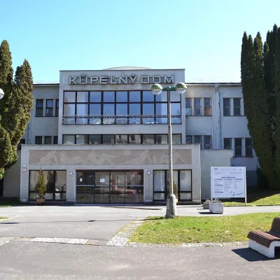 Water parks & thermal poolsSliač spa: warm carbonated water and a thermal swimming areaSliač17 km from the trailSliač is a spa in the Zvolen Basin above the Hron valley, between Zvolen and Banská Bystrica. The spa quarter with its 46-hectare park lies on a slope above the former...
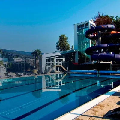 Water parks & thermal poolsSpa & Aquapark Turčianske TepliceTurčianske Teplice20 km from the trailTurčianske Teplice is one of Slovakia’s oldest spa towns. Its warm springs were first mentioned in 1281 in a deed of gift by King Ladislaus IV, and from 1533 they...
