Cinobaňa – Pod Kokušom
Trail map
Route, springs and shelters: © OpenStreetMap contributors (ODbL) · elevation: Copernicus DEM © DLR e.V., © Airbus DS · Data & licences
About the trail
Route Cinobaňa – Pod Kokušom. Has yellow marking (local route №8471, KST). Waymarking data: OpenStreetMap (© OpenStreetMap contributors, ODbL).
Officially marked local tourist route No. 8471. The marking is yellow, the sign is a triangle in the corner on a white background. Marked and maintained by: KST. Length of the route — 3 km. Location: mountain range — Slovak Rudohorie, Slovakia.
At a glance
A short route of 3 km with 206 m of ascent from Cinobaňa to Pod Kokušom. Estimated walking time: about 1 h, not counting stops. Difficulty: easy. Waymarking: yellow.
Water and overnight stays
Our map shows no springs near the trail — bring your own water (at least 1 l).
When to go
The route can be walked most of the year; it is most comfortable from April to October.
Getting there
Start: Cinobaňa. This is a one-way route: the finish is 3 km from the start in a straight line, so plan your way back in advance.
FAQ
- How long does the route take?
- Estimated walking time: about 1 h, not counting stops.
- Is there water on the route?
- Our map shows no springs near the trail — bring your own water (at least 1 l).
Comments
Trails nearby
All trails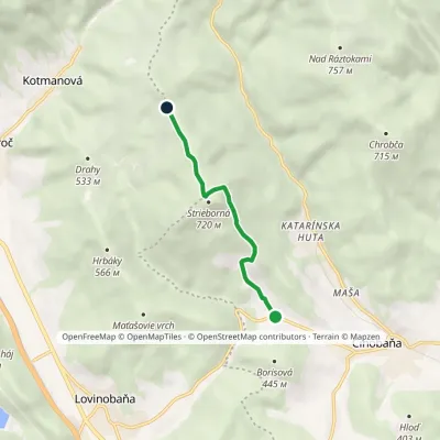 EasyOne-dayMarkedLovinka Saddle under HradnýElevation profile339–730 m4.6 kmascent 405 m≈ 2 h walking
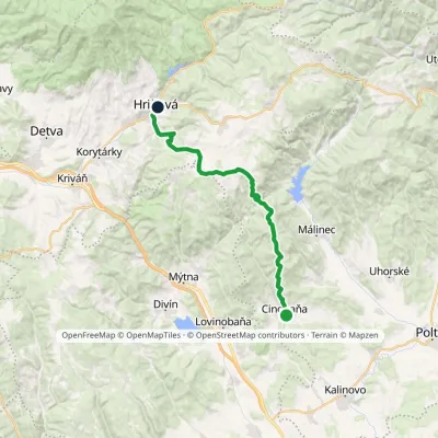 HardTwo-dayMarkedCinobaňa Hriňovávia Táňovo, junction, VrchdobročElevation profile270–920 m25 kmascent 897 m≈ 8 h walking
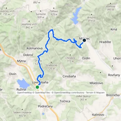 HardTwo-dayMarkedLovinobaňa, railway station Málinecvia HrnčiarkyElevation profile230–747 m22.1 kmascent 824 m≈ 7 h walking
Craft nearby
All craft places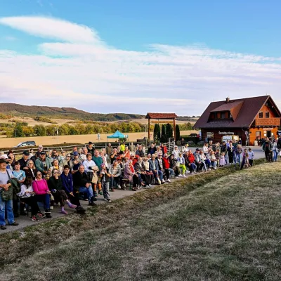 Cheese dairies & pasturesSalaš pod Maginhradom: Gemer sheep’s cheese and the Mitrovanie feastVeľké Teriakovce23 km from the trailAcross the road rises Maginhrad hill: in the 15th century a castle stood there that served as a Hussite fortress, and the Romantic poet Ján Botto dedicated a ballad to...
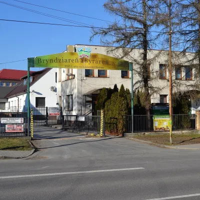 Cheese dairies & pasturesZvolenská Slatina bryndza dairy: the oldest, since 1797Zvolenská Slatina32 km from the trailBryndza with more than 220 years behind it Zvolenská Slatina is a large village in the Podpoľanie region, a few kilometres from Zvolen, at the foot of the volcanic...
 Cheese dairies & pasturesSalaš Zbojská: sheep’s cheese, bryndza and žinčica on the passTisovec36 km from the trailThe Zbojská pass lies at about 740 metres in the forests between Brezno and Tisovec, on the edge of the Hron valley and the Muránska planina plateau.
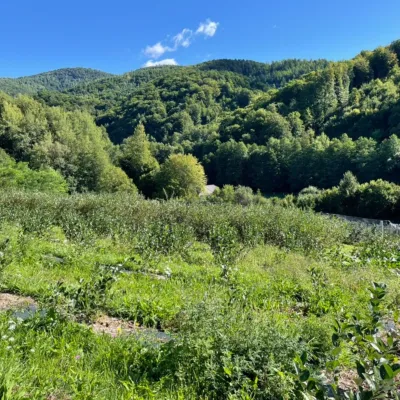 Eco farmsČučoriedková záhrada: pick-your-own blueberries and aronia juiceRatkovské Bystré37 km from the trailHere in 2010 the owners’ family planted the first Canadian blueberry bushes on a small plot — and gradually grew them into the Čučoriedková záhrada (Blueberry Garden).
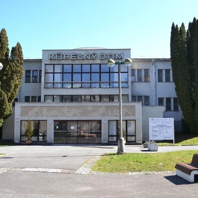 Water parks & thermal poolsSliač spa: warm carbonated water and a thermal swimming areaSliač40 km from the trailSliač is a spa in the Zvolen Basin above the Hron valley, between Zvolen and Banská Bystrica. The spa quarter with its 46-hectare park lies on a slope above the former...
 Water parks & thermal poolsBrusno Spa: mineral springs, treatments and Caracalla SpaBrusno42 km from the trailBrusno Spa (Kúpele Brusno) lies in the Hron valley (Horehronie), about 20 km north-east of Banská Bystrica, on the northern slopes of the Vepor massif in the Slovak...
