Liptovská Anna – Dolina Borovianky, junction
Trail map
Route, springs and shelters: © OpenStreetMap contributors (ODbL) · elevation: Copernicus DEM © DLR e.V., © Airbus DS · Data & licences
About the trail
Route Liptovská Anna – Dolina Borovianky, junction. Has green marking (regional route №5620, KST). Waymarking data: OpenStreetMap (© OpenStreetMap contributors, ODbL).
Officially marked regional tourist route No. 5620. The marking is green, the sign is a horizontal stripe on a white background. Marked and maintained by: KST. Length of the route – 17 km. Location: mountain range – Chočské Mountains, Slovakia.
At a glance
A one-day route of 17 km with 1,132 m of ascent from Liptovská Anna to Dolina Borovianky, junction. Estimated walking time: about 6 h, not counting stops. Difficulty: moderate. Waymarking: green.
Route stages
- 0–5 kmClimb of 560 m to Prosečné (1,372 m)
- 5–8 kmDescent of 430 m to Červené piesky waterfall in the Prosiecka valley
- 8–11 kmClimb of 340 m to Lomné (1,278 m)
- 11–12 kmDescent of 220 m to Rovné
- 12–14 kmClimb of 140 m to Pravnáč (1,208 m)
- 14–17 kmDescent of 520 m to Dolina Borovianky, junction
Steepest kilometre: km 14–15, a descent of 290 m (≈29%), near Pravnáč.
Water and overnight stays
Springs near the trail: at km 1, 6, 7, 12, 15 and 17. Some springs run low or dry up in late summer.
Huts and shelters near the trail: zrub PZ Prosecné (km 13).
When to go
Best time: May to October. In winter deep snow is possible, so experience and winter gear are needed.
Getting there
Start: Liptovská Anna. This is a one-way route: the finish is 7 km from the start in a straight line, so plan your way back in advance.
FAQ
- How long does the route take?
- Estimated walking time: about 6 h, not counting stops.
- Is there water on the route?
- Springs near the trail: at km 1, 6, 7, 12, 15 and 17. Some springs run low or dry up in late summer.
- Where can I stay overnight?
- Huts and shelters near the trail: zrub PZ Prosecné (km 13).
Water and shelter on the route
- Spring below Háj (south-west slope), 809 mkm 0.6 from the start · 260 m off the path · Not verified · 809 m
- Spring below Sokol Pass (south-east slope), 1 232 mkm 5.6 from the start · 240 m off the path · Not verified · 1 232 m
- Spring below Prosečnékm 6.8 from the start · Not verified · 1 085 m
- Spring below Kubín (east slope)km 7.7 from the start · 60 m off the path · Not verified · 952 m
- Spring below Heliaškm 12.4 from the start · 100 m off the path · Not verified · 1 030 m
- zrub PZ Prosecnékm 13.5 from the start · 100 m off the path · Not verified · 1 104 m
- Spring in Pravnáčikm 15.3 from the start · 100 m off the path · Not verified · 922 m
- Captured spring below Pravnáčkm 16.7 from the start · Not verified · 711 m
Comments
Trails nearby
All trails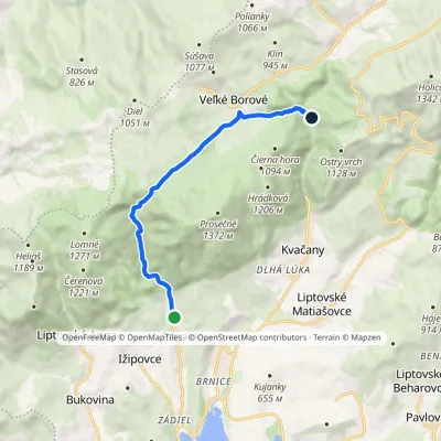 EasyOne-dayMarkedProsiek Oblazy, junctionElevation profile618–942 m8.8 kmascent 391 m≈ 3 h walking
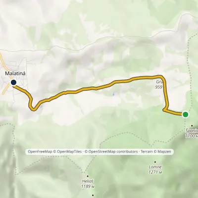 EasyOne-dayMarkedMalatiná, municipal office Malatinska RoveňElevation profile771–995 m4.6 kmascent 47 m≈ 1 h walking
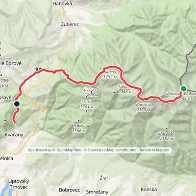 HardMulti-dayMarkedÚstie Kvačianskej doliny Pyšné sedlovia VolovecElevation profile644–2 178 m27.6 kmascent 1 566 m≈ 10 h walking
Craft nearby
All craft places Water parks & thermal poolsAquapark TatralandiaLiptovský Mikuláš10 km from the trailAquapark Tatralandia is a large year-round water leisure complex near Liptovský Mikuláš, on the northern shore of the Liptovská Mara reservoir.
 Koliby & Hutsul cuisineSalaš Dechtáre above Liptovská MaraGalovany12 km from the trailSalaš Dechtáre is a wooden koliba above the Liptovská Mara reservoir that is described as one of Slovakia’s first commercial salaš restaurants.
 Water parks & thermal poolsLúčky Spa and AQUA-VITAL ParkLúčky12 km from the trailLúčky Spa (Kúpele Lúčky) lies in a quiet valley beneath the Choč Mountains, in the village of Lúčky near Ružomberok.
 Water parks & thermal poolsBešeňová Water ParkBešeňová12 km from the trailBešeňová — the "thermal heart of Liptov" Bešeňová Water Park (Vodný park Bešeňová) lies on the edge of the village of the same name in the western part of the Liptov...
 Craft beer & breweriesLiptovar brewery, Liptovský Mikuláš: craft beer and brewpubLiptovský Mikuláš14 km from the trailLiptovský Mikuláš is the main town of the Liptov region, a short drive from the Low and Western Tatras, the Demänovská Valley and the Liptovská Mara reservoir.
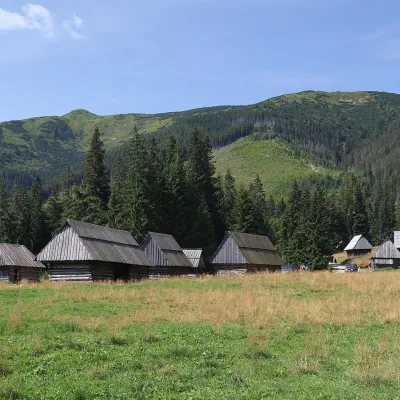 Cheese dairies & pasturesShepherds' Huts on Polana ChochołowskaKościelisko19 km from the trailPolana Chochołowska is the largest glade in the Polish Tatras and one of the largest in the whole range.
