Hala Gąsienicowa – Świnicka Przełęcz
Trail map
Route, springs and shelters: © OpenStreetMap contributors (ODbL) · elevation: Copernicus DEM © DLR e.V., © Airbus DS · Data & licences
About the trail
Route Hala Gąsienicowa – Świnicka Przełęcz. Has black marking (regional route). Waymarking data: OpenStreetMap (© OpenStreetMap contributors, ODbL).
Officially marked regional tourist route. The marking is black, the sign is a horizontal stripe on a white background. The length of the route is 3.5 km. Location: mountain range – Western Tatras, Poland. The route is in the Tatra National Park (TPN): entrance is paid (tickets online or at the ticket offices), from March 1 to November 30, trails can only be walked from dawn to dusk.
At a glance
A short route of 3.5 km with 526 m of ascent from Hala Gąsienicowa to Świnicka Przełęcz. Estimated walking time: about 1.5 h, not counting stops. Difficulty: moderate. Waymarking: black.
Route stages
- 0–3.5 kmClimb of 500 m to Świnicka Przełęcz
Steepest kilometre: km 2.5–3.5, a climb of 330 m (≈32%), near Świnicka Przełęcz.
Water and overnight stays
Springs near the trail: at km 0 and 1.5.
Huts and shelters near the trail: Murowaniec Hut (km 0).
When to go
Best time: June to September. In winter only for experienced hikers with proper gear: avalanche danger is possible. About 3 km of the route runs above 1,500 m, where the weather changes quickly — check the forecast.
Getting there
Start: Hala Gąsienicowa. This is a one-way route: the finish is 3 km from the start in a straight line, so plan your way back in advance.
FAQ
- How long does the route take?
- Estimated walking time: about 1.5 h, not counting stops.
- Is there water on the route?
- Springs near the trail: at km 0 and 1.5.
- Where can I stay overnight?
- Huts and shelters near the trail: Murowaniec Hut (km 0).
Water and shelter on the route
- Murowaniec Hutkm 0 from the start · 110 m off the path · Standing · 1 500 m
- Drinking water below Małe Uhrocie Kasprowekm 0 from the start · 120 m off the path · Not verified · 1 499 m
- Spring below Beskid (north-east slope), 1 726 mkm 1.5 from the start · 290 m off the path · Not verified · 1 726 m
Comments
Trails nearby
All trails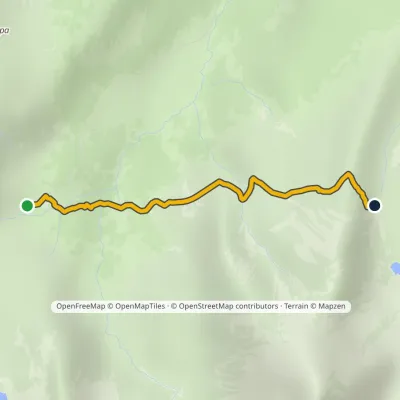 EasyOne-dayMarkedSchronisko PTTK Murowaniec Zadni UpłazElevation profile1 440–1 675 m2.5 kmascent 217 m≈ 1 h walking
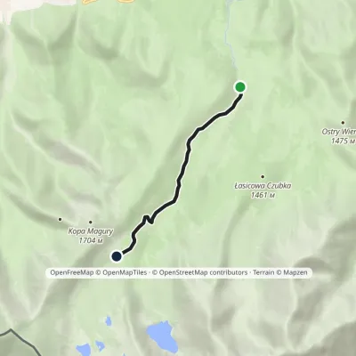 EasyOne-dayMarkedPsia Trawka Murowaniec PTTK HutElevation profile1 189–1 503 m4.2 kmascent 314 m≈ 1.5 h walking
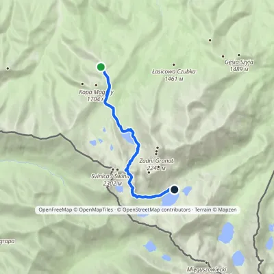 HardOne-dayMarkedPrzełęcz między Kopami Five Polish Ponds Valley Hutvia ZawratElevation profile1 497–2 155 m9 kmascent 709 m≈ 3.5 h walking
Craft nearby
All craft places Cheese dairies & pasturesFurtek's Shepherd's Huts, Kuźnice and KalatówkiZakopane3.8 km from the trailAbove Kuźnice — the southern edge of Zakopane where most hikes into the Western and High Tatras begin — the flocks are tended by baca Andrzej Staszel, nicknamed "Furtek".
 Koliby & Hutsul cuisineBąkowo Zohylina Wyźnio Highland TavernZakopane5.5 km from the trailBąkowo Zohylina Wyźnio is a regional highland tavern in Zakopane housed in a wooden "szałas" (shepherd-hut-style building) with a view of the Tatras.
 Water parks & thermal poolsTermy Zakopiańskie (Aqua Park Zakopane)Zakopane6.4 km from the trailTermy Zakopiańskie is a thermal water park right in Zakopane, on Jagiellońska Street, only a kilometre from Krupówki.
 Cheese dairies & pasturesShepherd's Hut on Rusinowa PolanaBrzegi6.5 km from the trailRusinowa Polana is one of the most beautiful mountain glades in the Polish Tatras, and from May to October it is home to the bacówka (shepherd's hut) of baca Stanisław...
 Crafts & workshopsSztukomania Studio, Zakopane: handmade ceramics and pottery workshopsZakopane6.5 km from the trailSztukomania is a small ceramics and woodwork studio on Staszica street in Zakopane, a few minutes' walk from Krupówki.
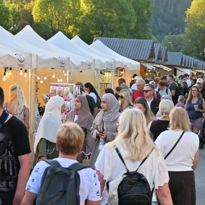 Markets & fairsEuropean Fair of Regional Products, Zakopane (every August)Zakopane6.6 km from the trailThe European Fair of Regional Products (Europejskie Targi Produktów Regionalnych) is a five-day festival of food, crafts and music held every August on Górna Równia...
