Štôla – Batizovské Tarn
Trail map
Route, springs and shelters: © OpenStreetMap contributors (ODbL) · elevation: Copernicus DEM © DLR e.V., © Airbus DS · Data & licences
About the trail
Route Štôla – Batizovské Tarn. Has yellow marking (regional route №8855, KST). Waymarking data: OpenStreetMap (© OpenStreetMap contributors, ODbL).
Officially marked regional tourist route No. 8855. The marking is yellow, the sign is a horizontal stripe on a white background. Marked and maintained by: KST. Length of the route — 8.6 km. Location: mountain range — High Tatras, Slovakia. The route in the Tatra National Park (TANAP): high-altitude sections are closed from November 1 to June 15 — before heading out, check the current dates at tanap.sk.
At a glance
A one-day route of 8.6 km with 1,041 m of ascent from Štôla to Batizovské Tarn. Estimated walking time: about 4 h, not counting stops. Difficulty: moderate. Waymarking: yellow.
Route stages
- 0–8.5 kmClimb of 1,030 m to Batizovské pleso
Steepest kilometre: km 7–8, a climb of 240 m (≈23%), near Batizovské pleso.
Water and overnight stays
Our map shows no springs near the trail — bring your own water (at least 2 l).
When to go
Best time: June to September. In winter only for experienced hikers with proper gear: avalanche danger is possible. About 2 km of the route runs above 1,500 m, where the weather changes quickly — check the forecast.
Getting there
Start: Štôla. This is a one-way route: the finish is 7 km from the start in a straight line, so plan your way back in advance.
FAQ
- How long does the route take?
- Estimated walking time: about 4 h, not counting stops.
- Is there water on the route?
- Our map shows no springs near the trail — bring your own water (at least 2 l).
Comments
Trails nearby
All trails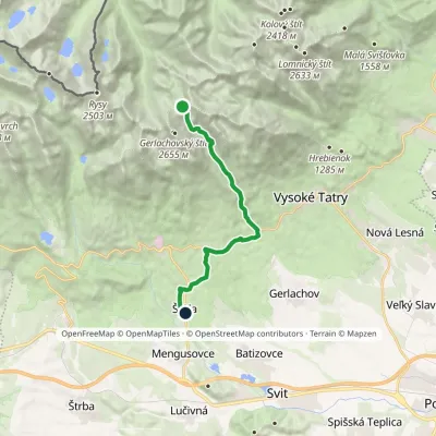 ModerateOne-dayMarkedNižné Hágy Junction below Poľský hrebeňElevation profile849–2 195 m14.6 kmascent 64 m≈ 4 h walking
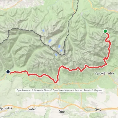 HardMulti-dayMarkedTatranská magistrála (Tatra Highway): Podbanské Veľké Biele plesoElevation profile929–2 043 m50.1 kmascent 1 603 m
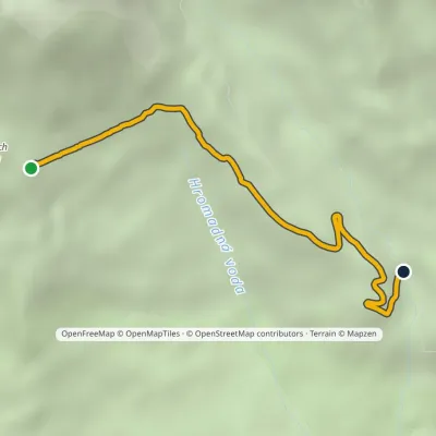 EasyOne-dayMarkedVelický Bridge Junction under Suchý vrchElevation profile1 307–1 702 m3.7 km≈ 60 min walking
Craft nearby
All craft places Craft beer & breweriesMinipivovar TATRAS, Poprad13 km from the trailMinipivovar TATRAS is a brewpub on Poprad’s main square, Námestie sv. Egídia, housed in a building with a long brewing history.
 Water parks & thermal poolsAquaCity Poprad water park13 km from the trailAquaCity Poprad is a large year-round water park and wellness complex in the town of Poprad, a few minutes from the centre; according to the complex, the High Tatras...
 Horse ridingKone vo Východnej: horse rides below the Tatras16 km from the trailKone vo Východnej (“Horses in Východná”) is a small family horse farm on the meadows above the village of Východná in upper Liptov, with a sweeping view of the High...
 Eco farmsFarma Východná — organic farm below the Tatras18 km from the trailFarma Východná is the highest-lying organic farm in Liptov, at 930 m in the village of Východná right below the Tatras.
 Cheese dairies & pasturesShepherd's Hut on Rusinowa Polana19 km from the trailRusinowa Polana is one of the most beautiful mountain glades in the Polish Tatras, and from May to October it is home to the bacówka (shepherd's hut) of baca Stanisław...
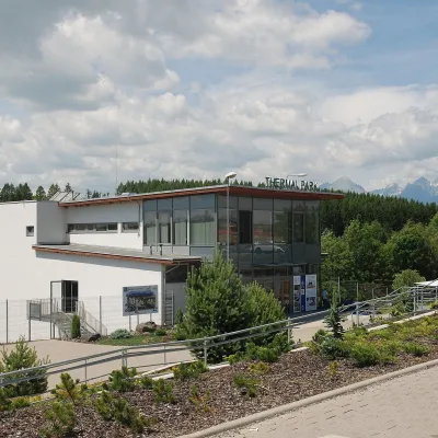 Water parks & thermal poolsThermal Park Vrbov21 km from the trailThermal Park Vrbov is one of the best-known thermal baths in the Spiš region, on the southern edge of the village of Vrbov, about 6 km (as the crow flies) from...
