Smreczyński Staw Lake
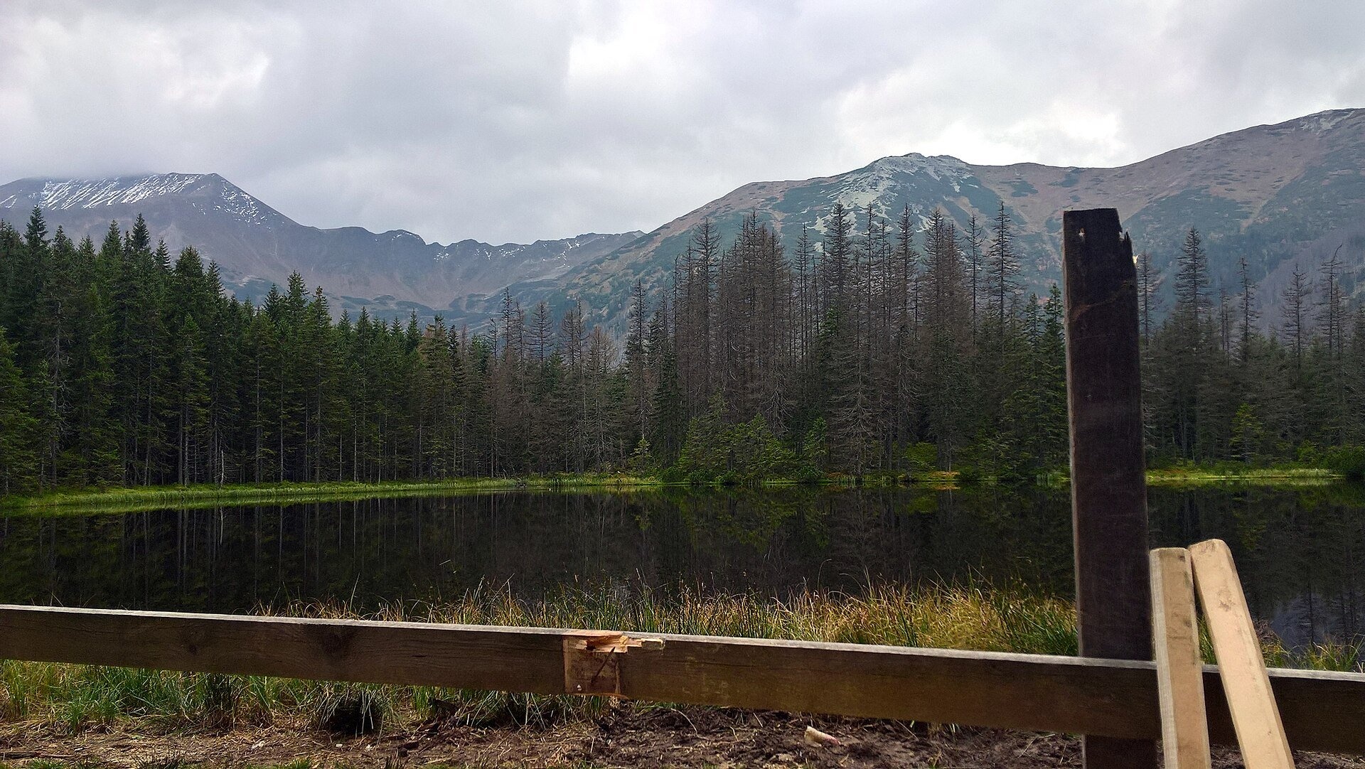
A forest lake among moraines
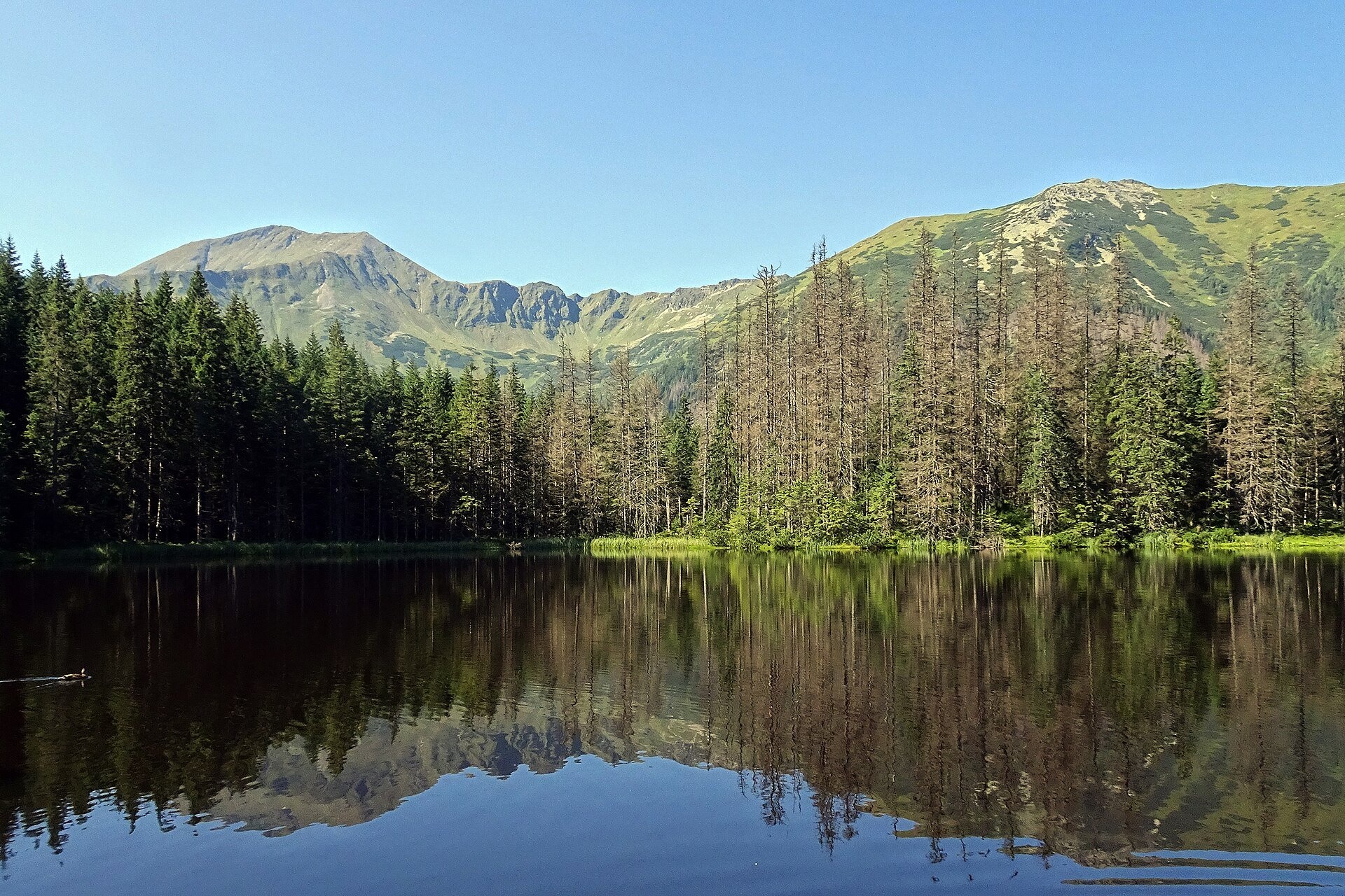
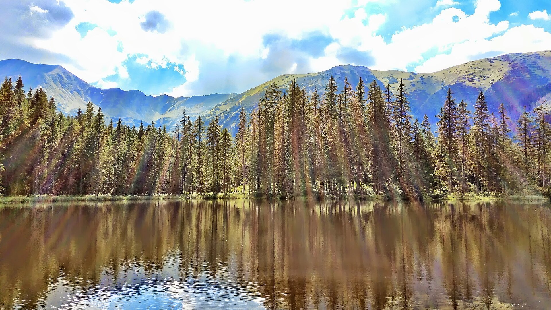
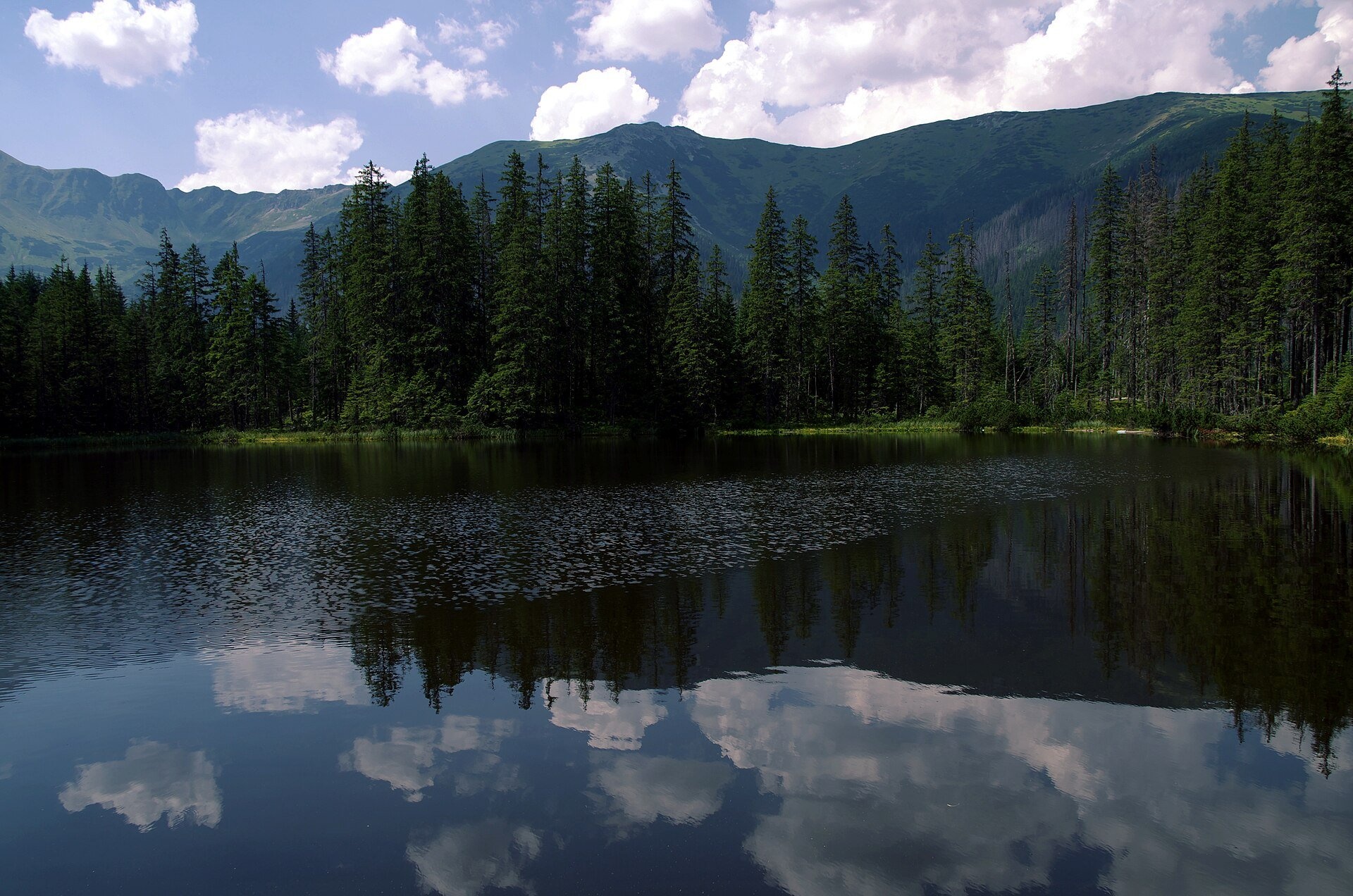
Smreczyński Staw is a small glacial lake in the upper part of the Kościeliska Valley, at the mouth of the Pyszniańska Valley, at 1,226 m. It takes its name from the former Smreczyny mountain pasture. Unlike most Tatra lakes, which lie in bare rocky cirques, Smreczyński Staw is surrounded by forest and sits in a hollow between the moraines of two ancient glaciers. It is very shallow: about 0.75 ha in area, with an average depth of 1.8 m and a maximum of 5.3 m. According to TPN the lake is slowly disappearing: organic matter collects on the bottom and peat bog is creeping over the shores.
Above the forest rise the peaks of the Western Tatras — Smreczyński Wierch (2,086 m), Kamienista (2,126 m), Błyszcz and the slopes of Starorobociański Wierch, along which runs the border with Slovakia; to the right of the lake Bystra is clearly visible. Highlanders believed the lake was bottomless: legend says that when a farmer began digging a ditch to drain it and turn it into a meadow, a voice from the depths threatened to flood everything all the way to the sea. From the 1830s the lake attracted artists — Walery Eljasz-Radzikowski, Wojciech Gerson and Leon Wyczółkowski all painted it.
What to see
- Reflections of the peaks in the still water — best in the morning on a windless day.
- Wildlife: unlike other Tatra lakes it is home to amphibians — alpine and Carpathian newts and the common frog; dragonflies fly here in summer, and migrating birds rest on the water. The shores are boggy, with bog arum, a plant rare in the Carpathians.
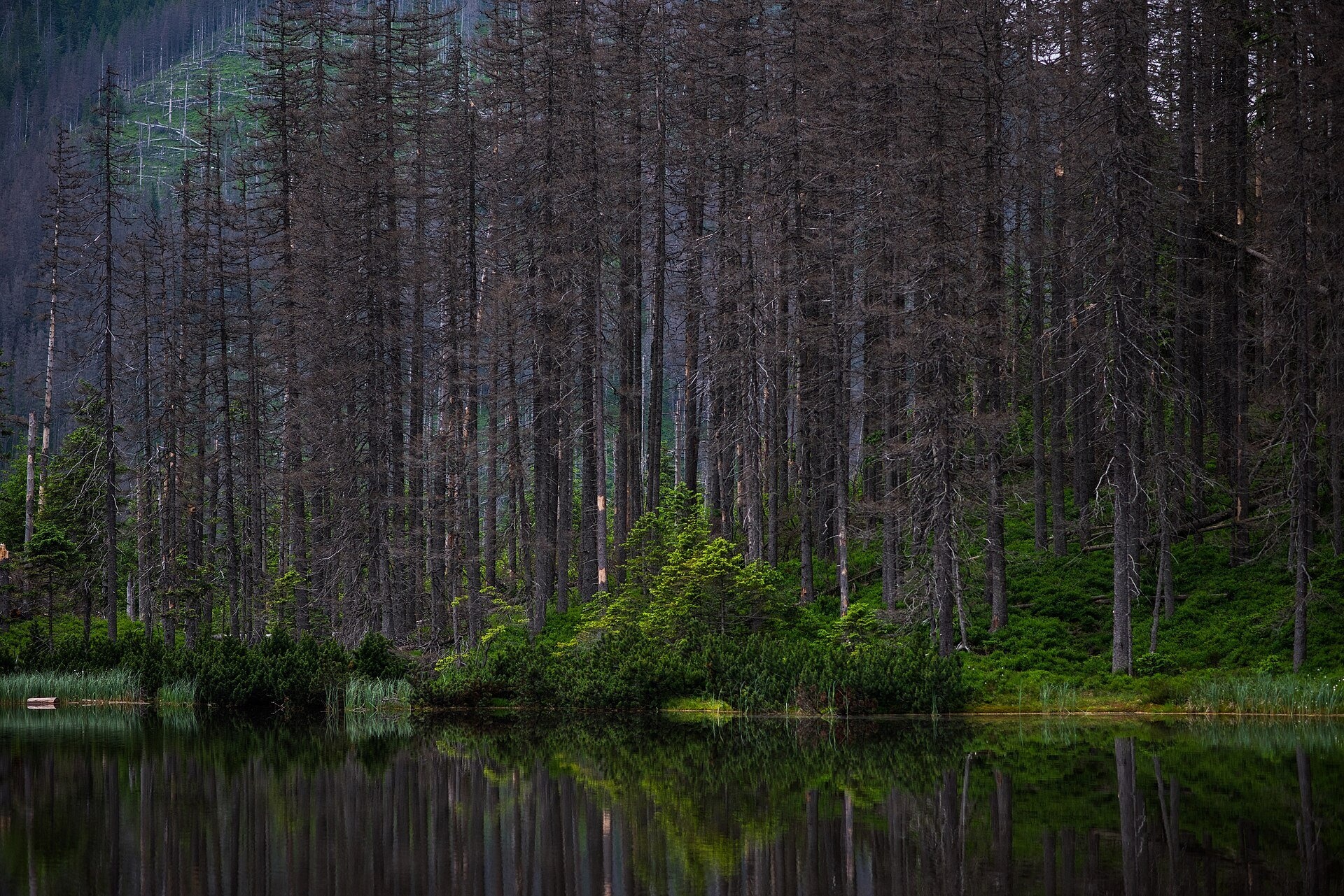
- Forest after the bark beetle — along the way you see dead spruces killed by the European spruce bark beetle: a natural process monitored by TPN scientists.
- The PTTK “Ornak” hut on the edge of the Mała Polanka Ornaczańska meadow — with toilets, a kitchen and a canteen, a good place for a longer rest before heading back; from here you see pyramid-shaped Błyszcz and Slovakia's Bystra.
Practical information
Getting there. The walk starts at Kiry by the Kościeliska Valley entrance (TPN car park, 30 zł, and a bus stop). Follow the wide valley track to the junction by the PTTK “Ornak” hut, then take the black trail across the moraines — about 20 minutes to the lake. According to TPN, the loop Kiry – Polana Pisana – Kraków Gorge – Ornak – Smreczyński Staw – Kiry is about 14 km: roughly 3 hours out and 2 hours back. The track to Ornak is wide and gentle, suitable for families with children; the last stretch to the lake is a forest path. Horse-drawn carriages run as far as Polana Pisana, shortening the walk.
Tickets and rules. The TPN ticket costs 11 zł (reduced 5.50 zł). The lake lies in a strict protection zone: stay on the path, do not feed the birds and do not swim. Dogs, bicycles and drones are banned in the valley; from 1 March to 30 November trails may not be used between dusk and dawn. In winter the track to Ornak is accessible, but the path to the lake may be buried in snow — check the TPN tourist bulletin.
Nearby
- Kościeliska Valley — rock gates, the Ice Spring and the Kraków Gorge.
- Mroźna Cave — on the way, about 2 km from the valley entrance.
- Chochołowska Valley — the neighbouring valley of crocuses.
Official website: tpn.gov.pl
Photos: Downar, CC BY-SA 4.0, Wikimedia Commons; Katarzyna Grabowska, CC BY 3.0, Wikimedia Commons; Meggiii11, CC BY 3.0, Wikimedia Commons; Mira440, CC BY-SA 3.0 pl, Wikimedia Commons; Mateusz Giełczyński, CC BY-SA 4.0, Wikimedia Commons; Sammler, CC BY-SA 3.0, Wikimedia Commons.
Getting there from Ukraine
Border crossings
- Krakovets – Korczowa — road, 24/7
- Shehyni – Medyka — road, 24/7 Pedestrian crossing is not confirmed by the Ukrainian border service — check dpsu.gov.ua before the trip.
- Smilnytsia – Krościenko — road, 24/7
- Hrushiv – Budomierz — road, 24/7
- Mostyska – Przemyśl (rail) — rail, 24/7
By car
Lviv – Zakopane ≈421 km, ≈5 h 10 min without border queues. Route: M-10 Lviv – Krakovets → Krakovets – Korczowa checkpoint → A4 motorway (Rzeszów – Tarnów – Kraków) → Kraków southern bypass → S7/DK7 → DK47 ('Zakopianka') via Nowy Targ → Zakopane. The A4 Katowice – Kraków section (Balice and Mysłowice toll plazas) is tolled, but this route does not use it. In summer and at weekends the DK47 near Zakopane is often congested.
Checked 23.10.2026; border crossing hours and timetables change — check before you travel.
Location on the map
Comments
Trails nearby
All trails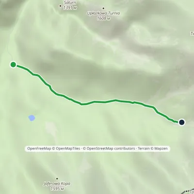 EasyOne-dayMarkedHala Ornak Tomanowy PotokElevation profile1 125–1 480 m2.9 kmascent 328 m≈ 1.5 h walkingunder 1 km from Smreczyński Staw Lake
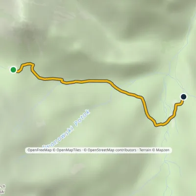 EasyOne-dayMarkedIwaniacka Pass Hala OrnakElevation profile1 100–1 462 m2.3 kmascent 8 m≈ 30 min walkingunder 1 km from Smreczyński Staw Lake
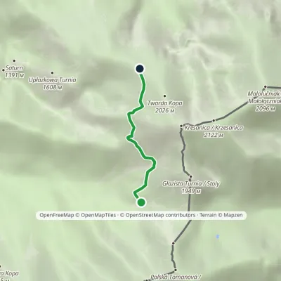 EasyOne-dayMarkedTomanowy Potok Chuda PrzełączkaElevation profile1 480–1 872 m2.4 kmascent 367 m≈ 1.5 h walking2.2 km from Smreczyński Staw Lake
Nearby attractions
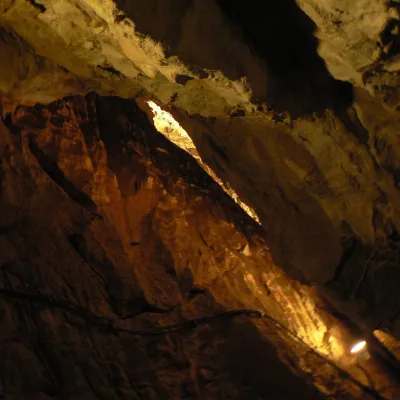 NatureMroźna Cave3.4 km from Smreczyński Staw LakeMroźna Cave is the best-known show cave in the Polish Tatras. It lies on the eastern slope of the Kościeliska Valley, in the Organy massif, about 120 m above the...
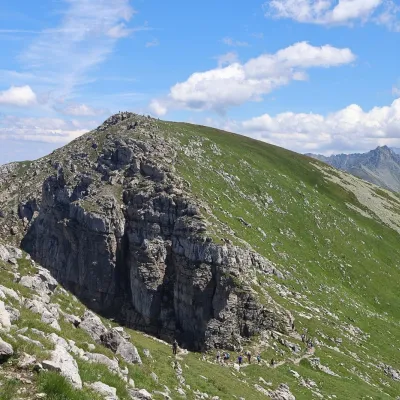 PeakKrzesanicaaltitude 2 122 m3.5 km from Smreczyński Staw LakeKrzesanica (Slovak: Kresanica) is a 2,122 m peak on the main ridge of the Western Tatras, on the border between Poland and Slovakia.
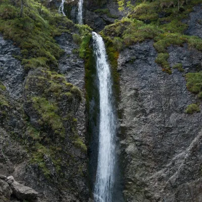 WaterfallSiklawica Waterfall6.3 km from Smreczyński Staw LakeSiklawica (also Siklawica Strążyska) is a waterfall in the Western Tatras, in the upper part of the Strążyska Valley (strictly speaking in its branch called Mała...
Craft nearby
All craft places Cheese dairies & pasturesShepherd's Hut in the Kościeliska Valley4.9 km from Smreczyński Staw LakeJózef Słodyczka's bacówka (shepherd's hut) on the Wyżnia Kira Miętusia glade is probably the most easily reached shepherds' hut in the Polish Tatras.
 Cheese dairies & pasturesShepherds' Huts on Polana Chochołowska5.5 km from Smreczyński Staw LakePolana Chochołowska is the largest glade in the Polish Tatras and one of the largest in the whole range.
 Koliby & Hutsul cuisineBąkowo Zohylina Wyźnio Highland Tavern10 km from Smreczyński Staw LakeBąkowo Zohylina Wyźnio is a regional highland tavern in Zakopane housed in a wooden "szałas" (shepherd-hut-style building) with a view of the Tatras.
 Markets & fairsMarket under Gubałówka10 km from Smreczyński Staw LakeThe market under Gubałówka (Targ pod Gubałówką) is Zakopane's best-known bazaar and probably the most photographed row of stalls in the Polish Tatras.
 Cheese dairies & pasturesFurtek's Shepherd's Huts, Kuźnice and Kalatówki10 km from Smreczyński Staw LakeAbove Kuźnice — the southern edge of Zakopane where most hikes into the Western and High Tatras begin — the flocks are tended by baca Andrzej Staszel, nicknamed "Furtek".
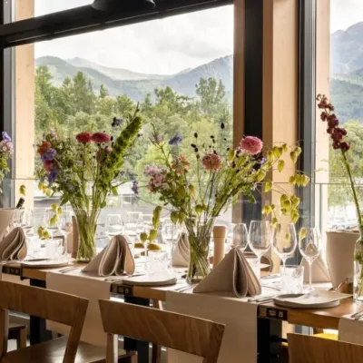 Craft beer & breweriesGwarno Restaurant & Brewery, Zakopane10 km from Smreczyński Staw LakeGwarno is a restaurant with its own small brewery at the foot of Gubałówka in Zakopane. It stands on Na Gubałówkę street right next to the lower station of the...
