Świnica
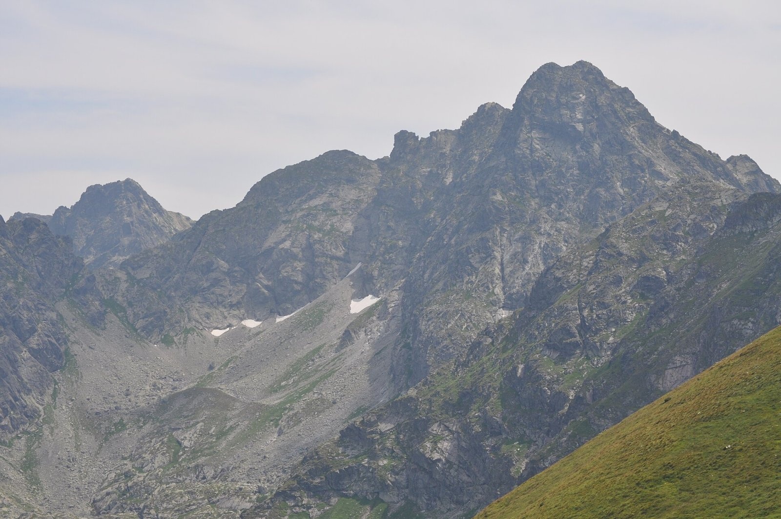
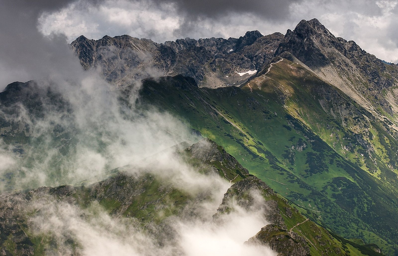
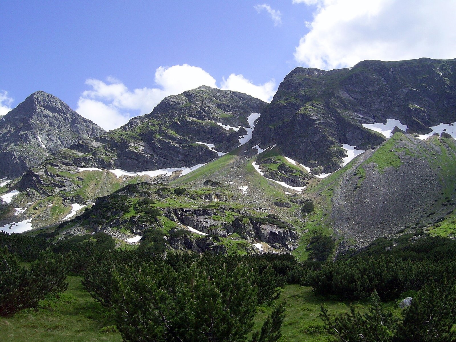
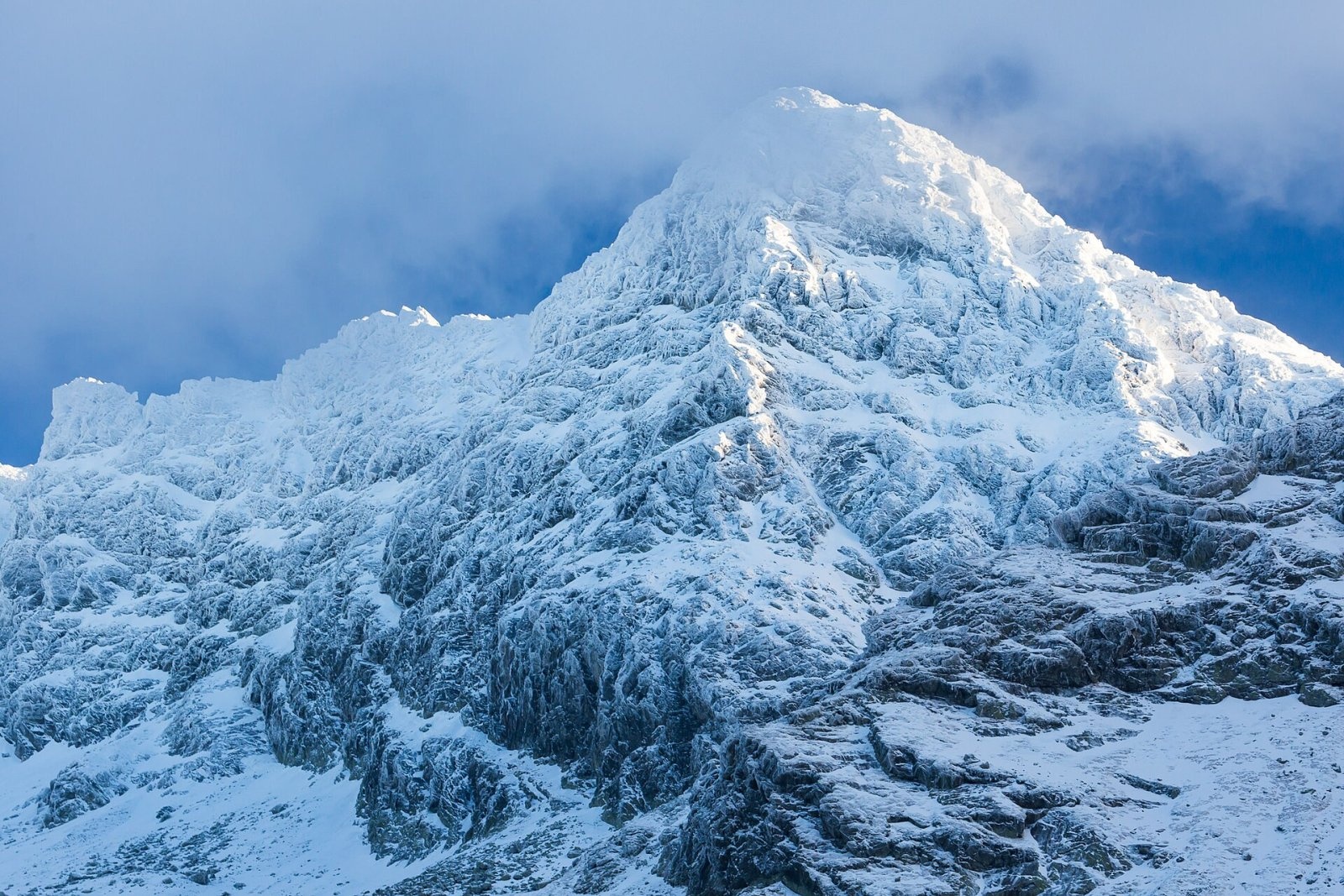
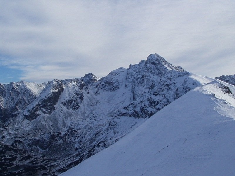
Świnica (Slovak: Svinica) is a 2,302 m summit on the main ridge of the Tatra Mountains, right on the Polish–Slovak border. It is the first prominent peak of the High Tatras when coming from the west: just beyond Liliowe Pass the Western Tatras begin, with Kasprowy Wierch. The mountain is a broad rocky pyramid with two tops — the higher south-eastern one (2,302 m), reached by a marked trail, and the north-western "climbers' summit" (2,291 m), which is closed to hikers. Świnica towers over three valleys: Dolina Gąsienicowa and the Valley of the Five Polish Ponds in Poland, and Tichá dolina in Slovakia. Central Zakopane lies about 10 km to the north-west in a straight line, Kuźnice about 6 km.
How to get there / routes
All hiking approaches lead from the Polish side, through Tatra National Park (TPN):
- Red trail from Kasprowy Wierch along the main ridge via Liliowe Pass and Świnicka Przełęcz. This is the easiest and most popular route and is open in both directions. From Świnicka Przełęcz to the top takes about 45 minutes up and 40 minutes down. Above the pass there is a short rock chimney, a chained traverse of the steep Blaton gully (which ends in a vertical drop just below the path) and the narrow notch of Wrótka; the last metres are an easy chained scramble.
- Black trail from Dolina Gąsienicowa (from the weather station near the Murowaniec hut) straight up to Świnicka Przełęcz, then the same red section.
- Red trail from Zawrat Pass — far harder, very exposed above cliffs, with chains and staples. After a rockfall in 2018 it was repaired, and since 2021 it is one-way only, from Zawrat towards Świnica; descending it is forbidden. Blue trails lead to Zawrat from Dolina Gąsienicowa (via Czarny Staw) and from the Valley of the Five Polish Ponds. East of Zawrat starts the Orla Perć, also one-way (only from Zawrat towards Kozi Wierch).
Kasprowy Wierch can be reached by cable car from Kuźnice: the line is about 4.3 km long, climbs 936 m with a change at Myślenickie Turnie, and the top station stands at 1,959 m. It closes for maintenance breaks in spring and autumn and does not run in strong wind, so check the timetable in advance. Private cars cannot drive to Kuźnice.
The view from the summit
The rocky top offers a full panorama. To the east runs Świnica's side ridge with the Orla Perć, Kozi Wierch and the Granaty; to the south-east lies the heart of the High Tatras; to the west the grassy Western Tatras with Kasprowy Wierch and the Czerwone Wierchy. Below are the lakes of Dolina Gąsienicowa and the Five Polish Ponds valley. In clear weather, according to Slovak sources, parts of the Low Tatras, Veľká Fatra and the Orava Beskids are visible.
Nature and history
The name is usually explained by the mountain's silhouette, said to resemble a pig's head (Polish "świnia"). The north and east faces, about 350 m high, are popular with climbers; marmots and chamois can be seen on the grassy slopes and birds of prey above the crags.
Stanisław Staszic tried to climb the peak in 1805 but was stopped by bad weather. The lower top was reached in 1822 by Austrian military surveyors. The main summit was first climbed on 22 July 1867 by the Zakopane guide Maciej Sieczka, who then led Eugeniusz Janota, Bronisław Gustawicz and Stanisław Librowski up. The first winter ascent was a solo climb by Jerzy Maślanka on 30 December 1907. The Polish Tatra Society marked a trail to the top in 1885 and extended it to Zawrat in 1889–1893. The height of 2,302 m comes from a 2022 geodetic survey and lidar data; older sources give 2,301 m.
Safety, season and rules
Świnica only looks easy: because of the nearby cable car, many unprepared people end up here. About 30 people have died in the massif, half of them on the section from Zawrat. The worst accident happened on 15 August 1939, when lightning triggered a rockfall just below the summit during a thunderstorm and several members of a youth group were killed. Snow often lingers in the gullies until late summer, and in frost or after snowfall the chained sections become dangerous — crampons, an ice axe and a helmet are needed. Stay off the ridge in thunderstorms; TPN recommends a via ferrata set (harness, lanyard, helmet) on chained sections.
- Entry to TPN is paid (since 2025: 11 PLN, reduced 5.50 PLN), with tickets sold at park entrances and online.
- From 1 March to 30 November all park trails are closed from dusk to dawn; from 1 December to the end of February, from 22:00 to 05:00.
- Stay on marked trails; dogs, drones, camping and picking plants are not allowed.
- Emergency numbers: TOPR 985 or +48 601 100 300, and 112; the "Ratunek" app is useful. Current conditions and trail closures are in the daily TPN bulletin.
Interesting facts
- In 1902 Walerian Dzieślewski proposed a rack railway to the summit; after fierce debate the project was abandoned.
- Świnica is a junction peak: the main Tatra ridge bends sharply here, and a 9 km eastern ridge branches off — the one followed by the Orla Perć.
- Visitors to the summit included Stanisław Wyspiański, Maria Skłodowska-Curie, Mieczysław Karłowicz and Stefan Żeromski.
Photos: Monopol, CC BY-SA 3.0; Łukasz Śmigasiewicz, CC BY-SA 3.0 pl; Krzysztof Dudzik-Górnicki (User:ToSter), CC BY-SA 4.0; mywildside.pl, CC BY 3.0; Piotr J, CC BY-SA 2.5; Vavrik, Public domain — Wikimedia Commons.
Getting there from Ukraine
Border crossings
- Krakovets – Korczowa — road, 24/7
- Shehyni – Medyka — road, 24/7 Pedestrian crossing is not confirmed by the Ukrainian border service — check dpsu.gov.ua before the trip.
- Smilnytsia – Krościenko — road, 24/7
- Hrushiv – Budomierz — road, 24/7
- Mostyska – Przemyśl (rail) — rail, 24/7
By car
Lviv – Zakopane ≈421 km, ≈5 h 10 min without border queues. Route: M-10 Lviv – Krakovets → Krakovets – Korczowa checkpoint → A4 motorway (Rzeszów – Tarnów – Kraków) → Kraków southern bypass → S7/DK7 → DK47 ('Zakopianka') via Nowy Targ → Zakopane. The A4 Katowice – Kraków section (Balice and Mysłowice toll plazas) is tolled, but this route does not use it. In summer and at weekends the DK47 near Zakopane is often congested.
Checked 23.10.2026; border crossing hours and timetables change — check before you travel.
Location on the map
Comments
Trails nearby
All trails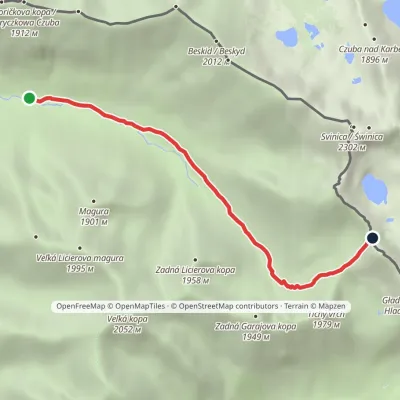 EasyOne-dayMarkedLiptovský košiar Hladké sedloElevation profile1 275–1 988 m5.3 kmascent 694 m≈ 2.5 h walking1.3 km from Świnica
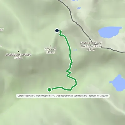 EasyOne-dayMarkedSedlo Závory Hlinská dolina, ústieElevation profile1 425–1 878 m2.8 kmascent 427 m≈ 1.5 h walking1.6 km from Świnica
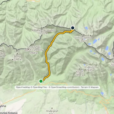 ModerateTwo-dayMarkedPodbanské Suché SaddleElevation profile928–1 946 m16.2 kmascent 1 013 m≈ 6 h walking2 km from Świnica
Nearby attractions
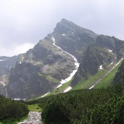 PeakKościelecaltitude 2 155 munder 1 km from ŚwinicaKościelec is a 2,155 m peak in the High Tatras, in Poland's Dolina Gąsienicowa. It stands on the side ridge of the Kościelce, which runs north from Zawratowa Turnia...
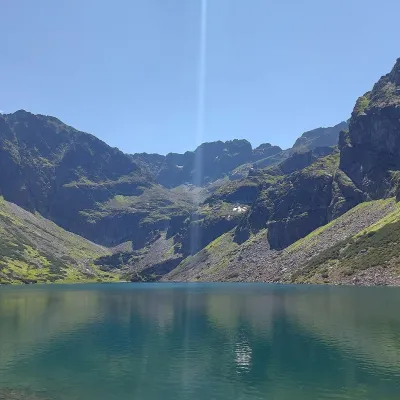 LakeCzarny Staw Gąsienicowy1.4 km from ŚwinicaCzarny Staw Gąsienicowy lies in the High Tatras, in a glacial cirque in the eastern part of the Gąsienicowa Valley, at 1,624 m.
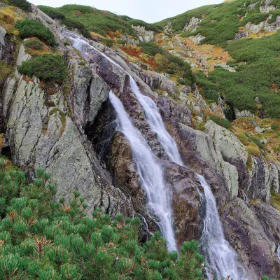 WaterfallWielka Siklawa Waterfall2.6 km from ŚwinicaWielka Siklawa (also simply Siklawa) is Poland's highest waterfall. The Roztoka stream, flowing out of Wielki Staw Polski, drops here over the rock step between the...
Craft nearby
All craft places Cheese dairies & pasturesFurtek's Shepherd's Huts, Kuźnice and Kalatówki6.4 km from ŚwinicaAbove Kuźnice — the southern edge of Zakopane where most hikes into the Western and High Tatras begin — the flocks are tended by baca Andrzej Staszel, nicknamed "Furtek".
 Cheese dairies & pasturesShepherd's Hut on Rusinowa Polana7.6 km from ŚwinicaRusinowa Polana is one of the most beautiful mountain glades in the Polish Tatras, and from May to October it is home to the bacówka (shepherd's hut) of baca Stanisław...
 Koliby & Hutsul cuisineBąkowo Zohylina Wyźnio Highland Tavern8 km from ŚwinicaBąkowo Zohylina Wyźnio is a regional highland tavern in Zakopane housed in a wooden "szałas" (shepherd-hut-style building) with a view of the Tatras.
 Water parks & thermal poolsTermy Zakopiańskie (Aqua Park Zakopane)9 km from ŚwinicaTermy Zakopiańskie is a thermal water park right in Zakopane, on Jagiellońska Street, only a kilometre from Krupówki.
 Markets & fairsMarket under Gubałówka9.8 km from ŚwinicaThe market under Gubałówka (Targ pod Gubałówką) is Zakopane's best-known bazaar and probably the most photographed row of stalls in the Polish Tatras.
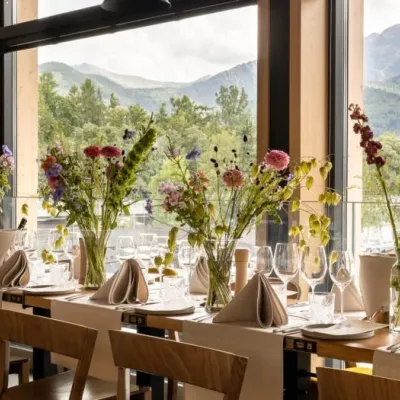 Craft beer & breweriesGwarno Restaurant & Brewery, Zakopane9.9 km from ŚwinicaGwarno is a restaurant with its own small brewery at the foot of Gubałówka in Zakopane. It stands on Na Gubałówkę street right next to the lower station of the...
