Baron's Trail: Deliatyn – Dora village
Trail map
Route, springs and shelters: © OpenStreetMap contributors (ODbL) · elevation: Copernicus DEM © DLR e.V., © Airbus DS · Data & licences
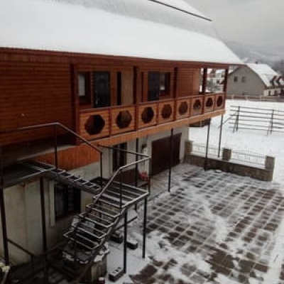
Where to stay nearby




About the trail
Route Baron's Trail: Deliatyn – Dora village. Has red marking (regional route). Waymarking data: OpenStreetMap (© OpenStreetMap contributors, ODbL).
Officially marked regional tourist route. Marking is red, sign — triangle in the corner on a white background. Marked and maintained by: Carpathian Trails / territorial community. Length of the route — 5.3 km. Location: mountain range — Horgany, Ivano-Frankivsk region.
At a glance
A short route of 5.3 km with 268 m of ascent from Deliatyn to Dora village. Estimated walking time: about 2 h, not counting stops. Difficulty: easy. Waymarking: red.
Route stages
- 0–1 kmGentle ups and downs at 430–470 m
- 1–3.5 kmClimb of 230 m (up to 692 m)
- 3.5–5.5 kmDescent of 230 m to Dora village
Steepest kilometre: km 3.5–4.5, a descent of 190 m (≈19%).
Water and overnight stays
Our map shows no springs near the trail — bring your own water (at least 1 l).
Places to stay near the start and finish: Yaremche.
When to go
The route can be walked most of the year; it is most comfortable from April to October.
Getting there
Start: Deliatyn. Most places to stay near the start are in Yaremche. This is a one-way route: the finish is 3 km from the start in a straight line, so plan your way back in advance.
FAQ
- How long does the route take?
- Estimated walking time: about 2 h, not counting stops.
- Is there water on the route?
- Our map shows no springs near the trail — bring your own water (at least 1 l).
- Where can I stay overnight?
- Places to stay near the start and finish: Yaremche.
Comments
Trails nearby
All trails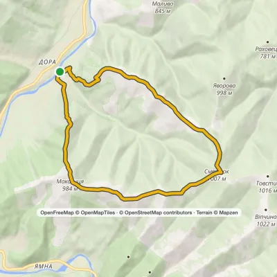 ModerateOne-dayMarkedDora loopvia Mount Makovytsia, Mount Staiky +1Elevation profile470–1 012 m13.2 kmascent 689 m≈ 4.5 h walking
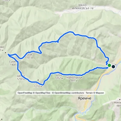 HardTwo-dayMarkedDora hamlet loopvia Bilyi Kamin rock, Mount Syniachka +1Elevation profile484–1 399 m23 kmascent 1 016 m≈ 8 h walking
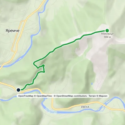 EasyOne-dayMarkedYaremche Mount MakovytsiaElevation profile555–980 m5.1 kmascent 30 m≈ 1.5 h walking
Craft nearby
All craft places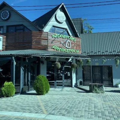 Craft shopsKarpatski Delikatesy farm shop, YaremcheYaremche3.8 km from the trailKarpatski Delikatesy (“Carpathian Delicacies”) is one of the largest shops of local products in Yaremche, right on the main road through town at 59/2 Svobody Street.
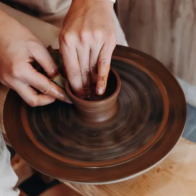 Ethno tours & guidesKosiv & Yavoriv Hutsul Crafts Tour from YaremcheYaremche8.1 km from the trailIf you are staying in Yaremche or Bukovel and want to see the real craft heartland of the Hutsul region, not just the mountain views, a handy option is a day tour to...
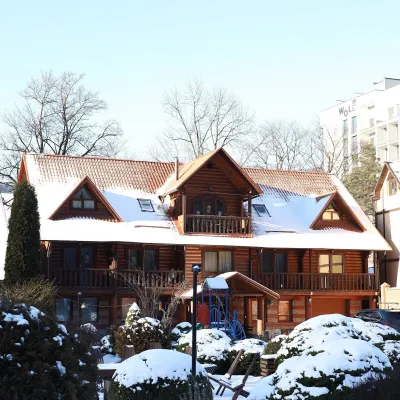 Koliby & Hutsul cuisineKrasna Sadyba Koliba, YaremcheYaremche8.6 km from the trailKrasna Sadyba in Yaremche is one of the town’s busiest places to eat: it has almost seven and a half thousand reviews on Google Maps.
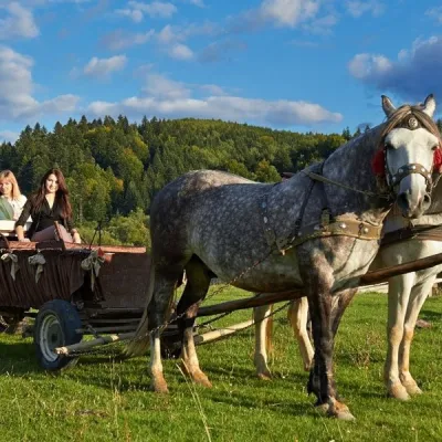 Horse ridingHorse Trails from Kamianyi Dvir Cottage, YaremcheYaremche9 km from the trailBesides accommodation, the Kamianyi Dvir (“Stone Yard”) cottage on Hrushevskoho Street in Yaremche is known for its horse rides.
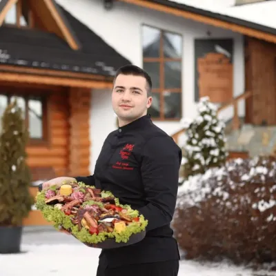 Koliby & Hutsul cuisineVedmezha Hora Koliba, YaremcheYaremche9 km from the trailVedmezha Hora koliba in Yaremche (“Bear Mountain”) is a family restaurant that has long been one of the town’s most popular food addresses.
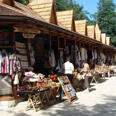 Markets & fairsHutsul souvenir market, YaremcheYaremche9.1 km from the trailYaremche is undoubtedly the center of Hutsul crafts, and everyone knows it. The Hutsuls are an ancient and at the same time interesting ethnic group of Ukrainians...
