Polonyna Menchul (Kvasy)
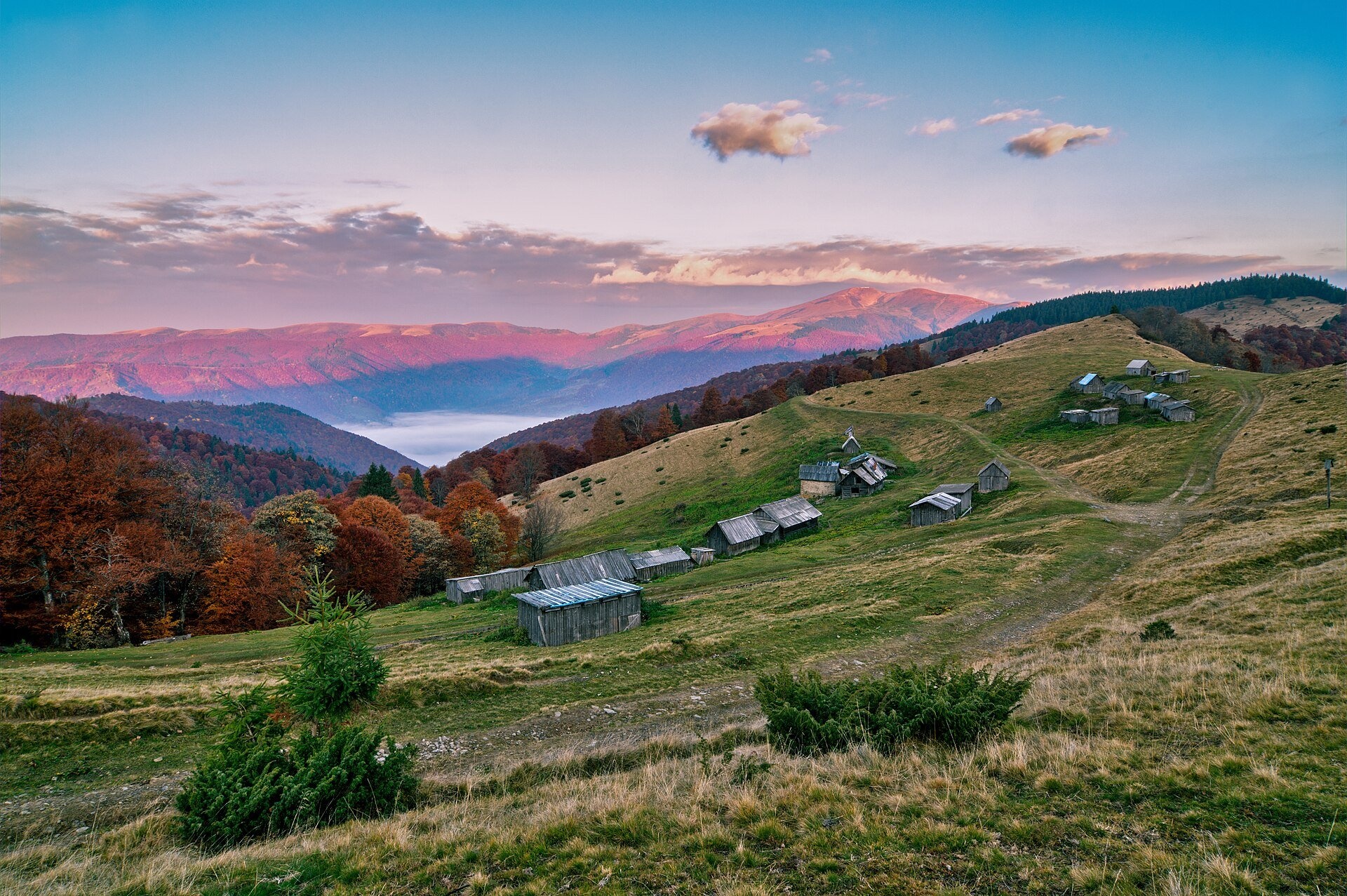
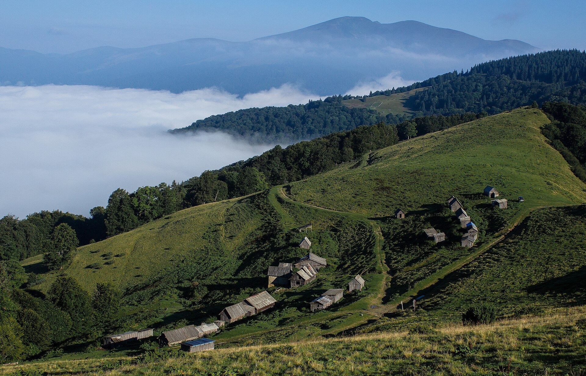
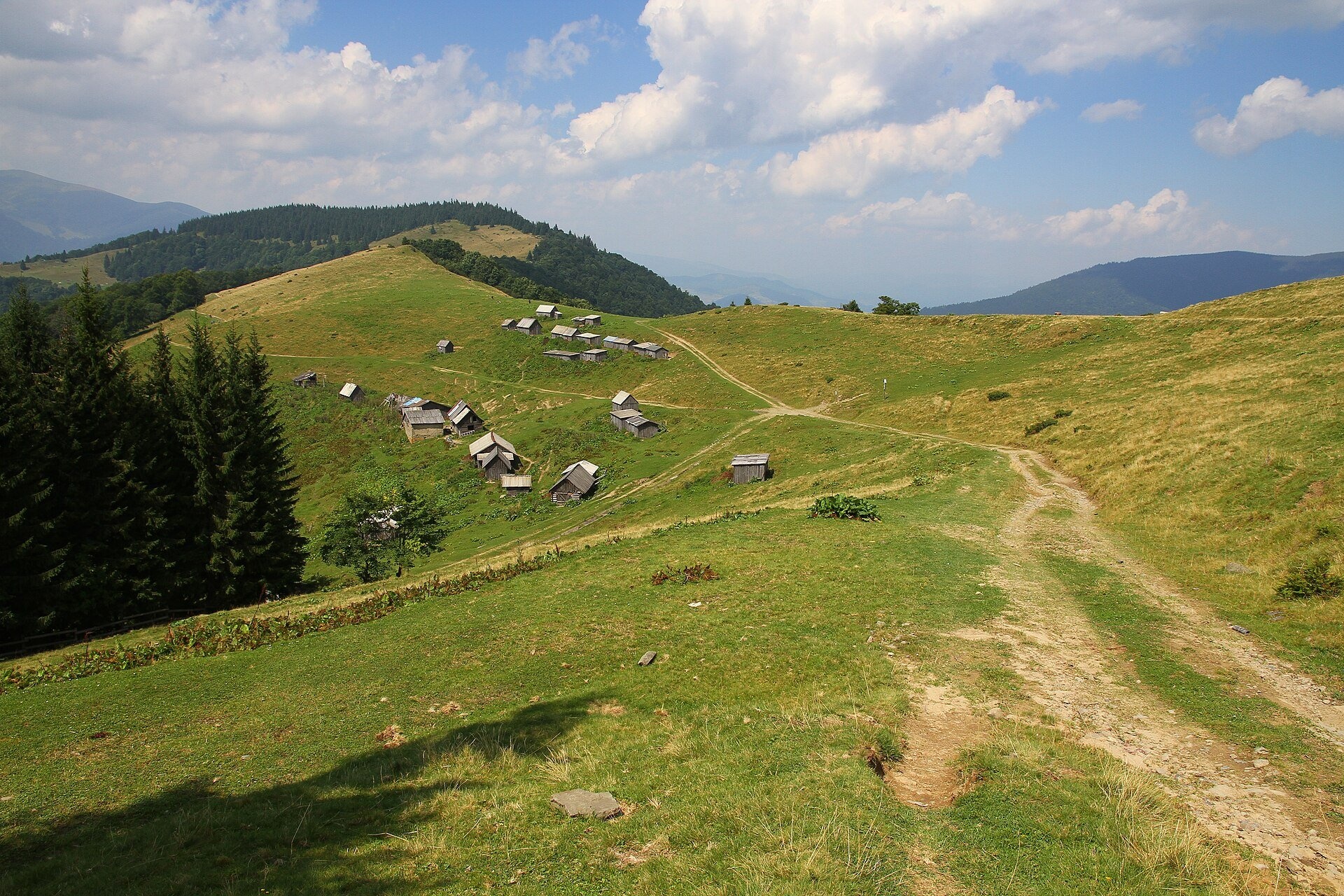
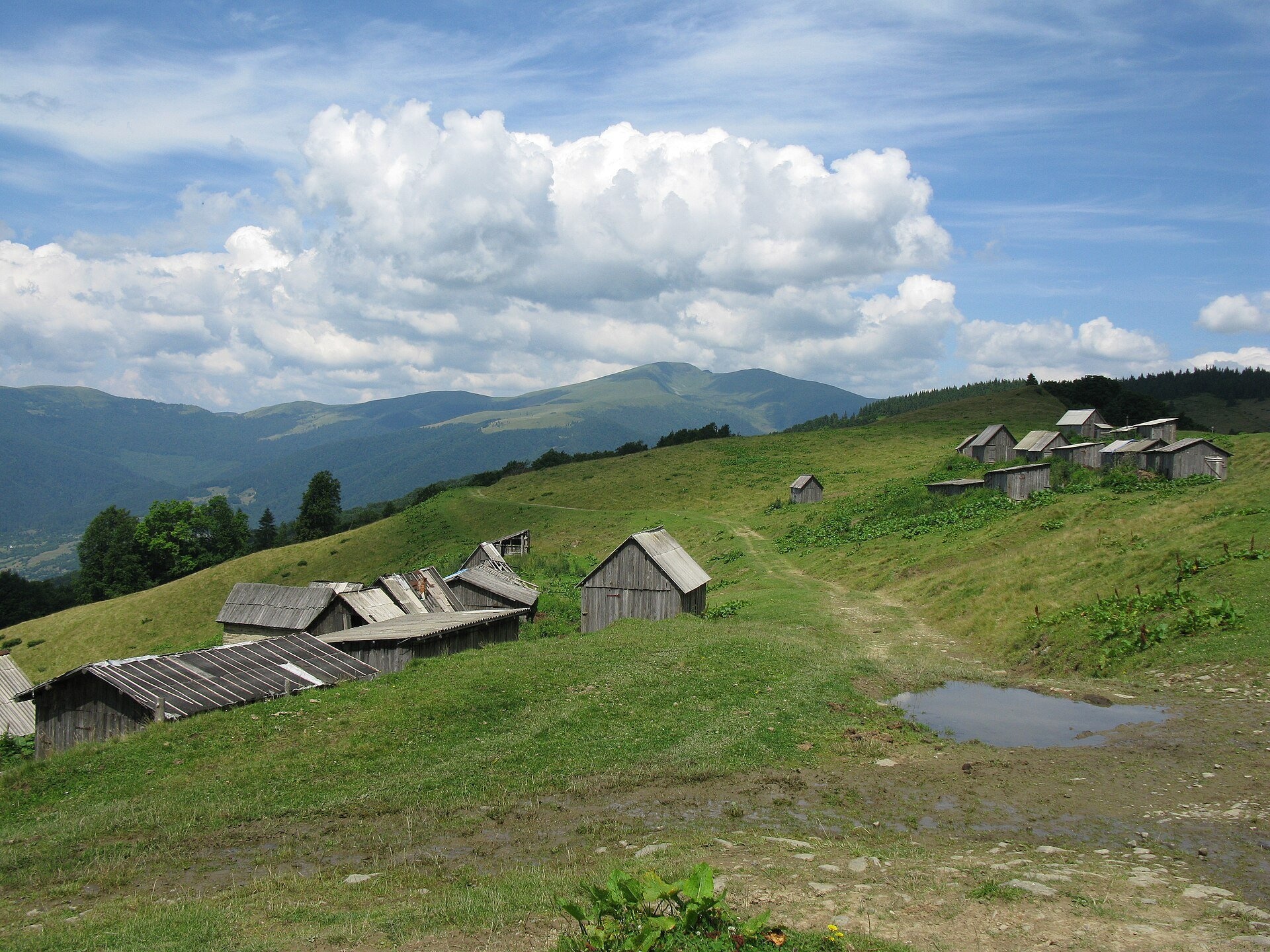
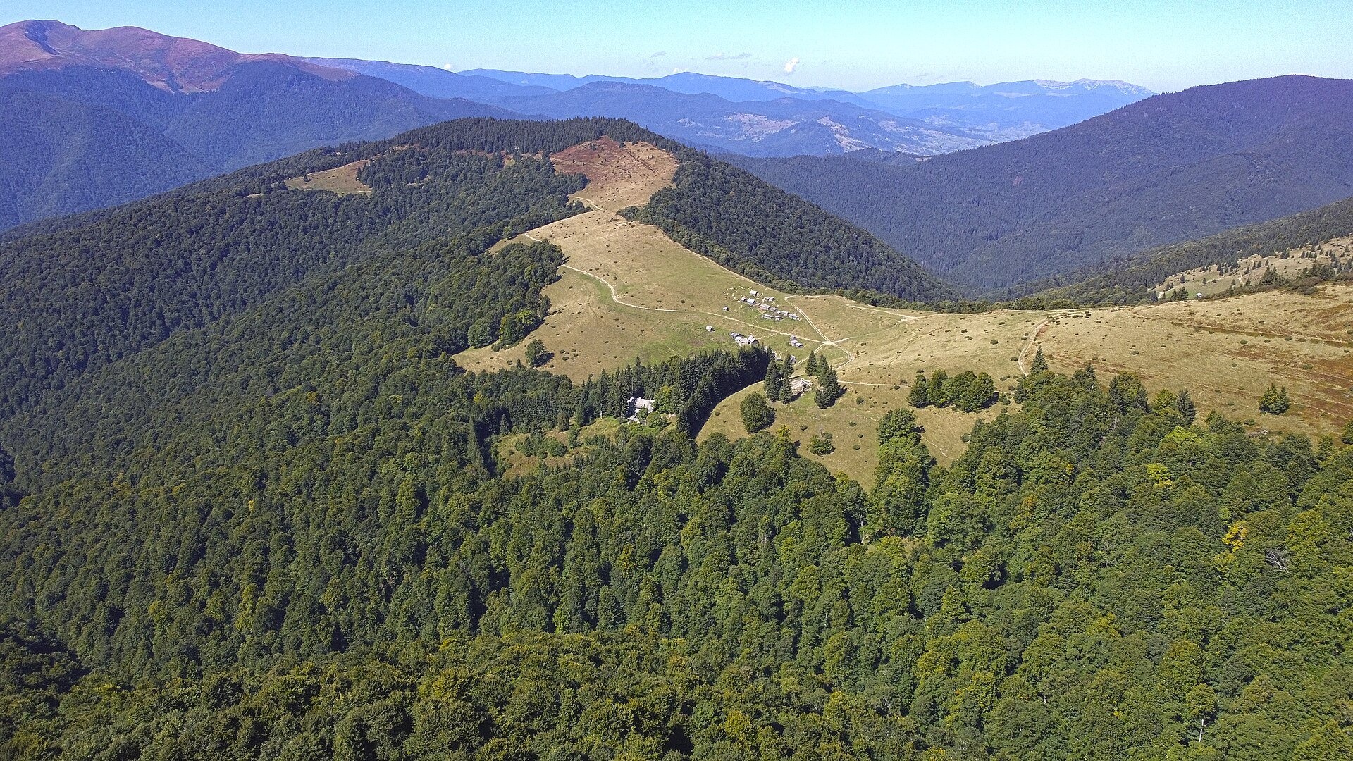
Menchul Polonyna above the village of Kvasy is a broad open shoulder on the south-western spur of the Chornohora range in the Rakhiv district of Zakarpattia. The pasture lies at roughly 1,160–1,420 m (the most quoted figure is about 1,240 m), and its open part covers several dozen hectares. To avoid confusion: this is not Menchul Polonyna in the Svydovets range and not Mount Menchul (1,998 m) on the main Chornohora ridge. Locals and hikers often call it "Menchul Kvasivskyi" or "Kvasiv-Menchul".
People come here for three things: views of Svydovets, cheese from a high-mountain dairy with 19th-century roots, and a convenient overnight stop before climbing Petros. The red waymarks of the Transcarpathian Tourist Trail from Kvasy to Petros and Hoverla cross the polonyna.
What you will see
Most of the ascent from Kvasy runs through forest; then the road comes out onto a gentle grassy slope dotted with wooden herders' huts. To the north-west you see the Svydovets massif with Blyznytsia, to the east the rounded summit of Sheshul with Petros hidden behind it. Climb a little above the polonyna and on a clear day the Gorgany and Marmarosh ranges appear. In autumn the beech forests around turn gold, and in the morning fog often fills the Chorna Tysa valley.
On the grounds of the biological field station of Ivan Franko National University of Lviv there is a local botanical natural monument, "Menchul Kvasivskyi" (1.81 ha, protected since 1990): a collection of rare Carpathian plants. The plants are protected, so do not pick them or enter fenced plots.
Shepherds, huts and cheese
In summer cows and sheep graze on Menchul, and there are sheepfolds and huts on the pasture. The best-known spot is the high-mountain cheese dairy: as early as the 19th century Emmental was made here and sold across Europe. Since 2023 the dairy has been rebuilt with the support of the Kvasy Rosental eco-farm and dairy: milk is bought from owners whose cows graze on the polonyna, and Emmental is made to the old recipe. According to hikers, in summer you can buy cheese on site, mostly for cash; beer from the local Tsypa brewery is sometimes available too. Whether the dairy is open this particular week and what is on sale is best checked in Kvasy before you set off. When buying cheese from shepherds, greet them, ask first, and do not enter the fold uninvited.
History and legends
Between the wars Kvasy belonged to Czechoslovakia. At that time a tourist mountain lodge stood on Menchul, near a state milk-processing station. The Lviv University field station still operates here today. On the way up from Kvasy the trail passes a small chapel in memory of executed Sich Riflemen. Interestingly, old and modern maps give different heights for Menchul, so rely on signs on the ground and GPS.
Routes
- Kvasy – Dzhorzheva Preluka polonyna – Menchul on the red waymarks: about 7 km and 4 hours one way, roughly 680 m of ascent. From Dzhorzheva Preluka to the field station it is about 3.5 km, about an hour and a half on a gentle road.
- Kvasy – Vesnarka polonyna – Menchul: about 7 km, 4 hours, roughly 770 m of ascent; a developed spring and a hut on the way.
- Kvasy – Keveliv valley – Menchul: mostly through forest, about 5 hours one way.
- Kvasy – Menchul – Petros: about 15 km one way, 6–7 hours up, roughly 1,470 m of ascent. Our tracks: from Kvasy over Petros and Hoverla to the Zarosliak base, from Kvasy over Petros to Yasinia, from Kvasy over Sheshul and Petros to Yasinia, Kvasy – Shumnieska polonyna.
Difficulty is moderate: the road is long, but the climb to Menchul is mostly gentle. For people who don't do long hikes, Menchul is a realistic day goal: walk slowly, take breaks and return the same way. Part of the way from Kvasy to the polonyna is covered by off-road vehicles that take tourists up.
Getting there
The start is the village of Kvasy. It has the "Kvasy" railway station on the line to Rakhiv, served by trains from Lviv, Kyiv and other cities, as well as regular buses from Ivano-Frankivsk, Kolomyia, Uzhhorod and Mukachevo. By car, take the road via Yaremche, Vorokhta and Yasinia. The trails to the polonyna start near the Burkut mineral spring and the Rosental eco-farm.
When to go and weather
The grazing season and the dairy's working season are in summer, roughly June to September. For walks the best time is May to October; in spring crocuses bloom on the polonyna, and in August the bilberries ripen. In winter the road is buried under snow and only prepared groups should go. In summer thunderstorms often build over the open slopes in the afternoon.
Water, shelters and overnight
Water can be taken from the stream before the polonyna and from a small spring below the field station gate; hikers advise checking water from the taps by the station and the dairy, as it can be cloudy. Nearby are a spring above Kvasy, the shelter on Menchul Polonyna, the shelter by the Franko University field station and the hut on Vesnarka Polonyna. There are places to pitch a tent; in bad weather you can ask the shepherds for shelter. The nearest accommodation is in Kvasy.
Safety
- Sheepdogs may be around the folds: do not run, walk around the flock and call the shepherd.
- Thunderstorms and fog are dangerous on the open polonyna: watch the forecast and descend into the forest in time.
- This is a border area: under martial law border guards check documents (passport, and for men a military registration document). Rules change, so check the current requirements of the State Border Guard Service before you travel.
- Above Menchul begins the Chornohora section of the Carpathian Biosphere Reserve: follow the reserve rules.
- In an emergency call 112 or 101 (State Emergency Service, mountain search and rescue); for medical help call 103.
What visitors say
- The walk to Menchul is not hard: a good first day to warm up your legs before Petros.
- The trail is well marked, but the full climb to Petros and back to Kvasy is an endurance day; beginners allow 7–8 hours for the ascent.
- You can buy cheese and local beer on the polonyna, but cash only; opinions about the atmosphere around the dairy vary.
- Springs along the way are few, so it is better to carry water.
- In summer off-road vehicles with tourists use the road, so walkers have to share the track with them.
- Morning and evening are the best times for photos on Menchul: fog in the valley and Svydovets opposite.
Polonynas and peaks around
- Sheshul Polonyna: the next step up towards Petros, an open ridge with a view of the whole of Chornohora.
- Mount Sheshul: the 1,728 m summit above the polonyna.
- Mount Petros: Ukraine's fourth-highest peak (2,020 m).
- Rohnieska Polonyna: a large pasture below Petros on the Bohdan side.
- Holovcheska Polonyna: a popular camping spot below Petros on the Lazeshchyna side.
- Mount Kakaraza: a neighbouring summit on the Chornohora spurs.
- Blyznytsia Polonyna in Svydovets: what you see opposite from Menchul.
Photos: Nata Mostova, CC BY-SA 4.0, Wikimedia Commons; Muraszka, CC BY-SA 4.0, Wikimedia Commons; Віталій Попков, CC BY-SA 4.0, Wikimedia Commons; Wisetus, CC BY-SA 4.0, Wikimedia Commons; Приходько Юрий, CC BY-SA 4.0, Wikimedia Commons; Ivshyn, CC BY 4.0, Wikimedia Commons; Kristina.kvasy, CC BY-SA 4.0, Wikimedia Commons; Misha Reme, CC BY-SA 4.0, Wikimedia Commons.
Video 2
 КВАСИ: курорт на джерельній воді, альпійський сир на Менчулі, дикий Шешул, Веснарка, крафтове пивоУправління туризму та курортів Закарпатської ОДА
Location on the map
Water and shelter nearby
- Drinking water (Drahobrat)490 m · Not verified · 1 206 m
- Spring (Drahobrat, 6)510 m · Has water · 1 226 m
- Spring (Drahobrat, 4)590 m · Not verified · 1 209 m
- Ivan Franko University biological station (shelter)640 m · Not verified · 1 212 m
- Shepherds' hut on Polonyna Shumnieska690 m · Standing · 1 152 m
- Spring (Drahobrat, 5)690 m · Not verified · 1 232 m
- Spring (Drahobrat, 8)730 m · Not verified · 1 140 m
- Spring (Kvasy, 12)900 m · Not verified · 1 200 m
- Spring (Kvasy, 11)1 km · Not verified · 1 191 m
- Hut on Polonyna Vesnarka1.2 km · Not verified · 1 251 m
- Spring (Drahobrat, 9)1.2 km · Not verified · 1 303 m
- Spring (Drahobrat, 3)1.2 km · Not verified · 1 267 m
- Spring below Mount Sheshul1.3 km · Not verified · 1 337 m
- Spring below Mount Sheshul (3)1.3 km · Not verified · 1 243 m
- Spring below Mount Sheshul (2)1.3 km · Not verified · 1 337 m
- Spring (Drahobrat, 2)1.3 km · Not verified · 1 219 m
Comments
Places to stay nearby
All stays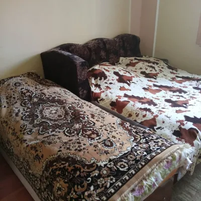 CottageHomestead "U Ivanky"Vyshkovo4.1 km from Polonyna Menchul (Kvasy)KitchenWi‑FiNearby: Mt Sheshul 7.1 kmNyzhnyi Huk waterfall 9.2 km44 trails
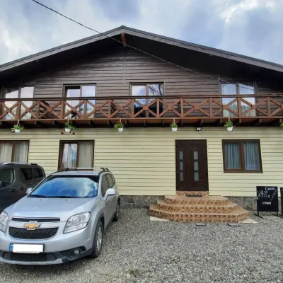 HotelCube (KUB)Kvasy4.1 km from Polonyna Menchul (Kvasy)BBQParkingWi‑FiNearby: Mt Sheshul 7.2 kmMt Bliznytsia 8.6 km44 trails
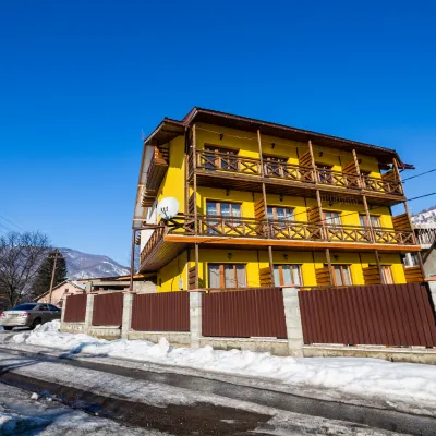 HotelGuest House "PETROS" KvasKvasy4 km from Polonyna Menchul (Kvasy)BBQKitchenParkingNearby: Mt Sheshul 7.1 kmMt Bliznytsia 8.5 km44 trails
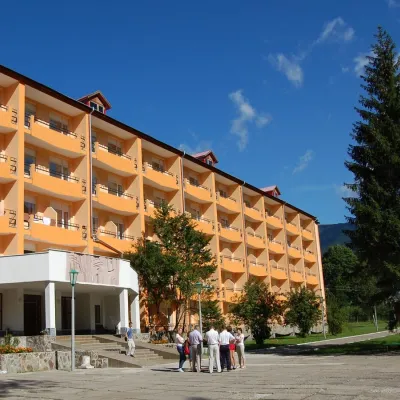 HotelSanatorium "Hirskaya Tysa" MykulychynKvasy4.1 km from Polonyna Menchul (Kvasy)SaunaSPAKidsNearby: Mt Sheshul 7.2 kmMt Bliznytsia 8.5 km44 trails
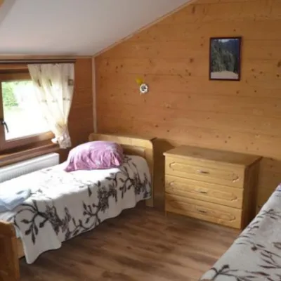 HotelHotel "Lisova Kazka"Kvasy4.1 km from Polonyna Menchul (Kvasy)PoolSaunaTransferNearby: Mt Sheshul 7.2 kmMt Bliznytsia 7.9 km44 trails
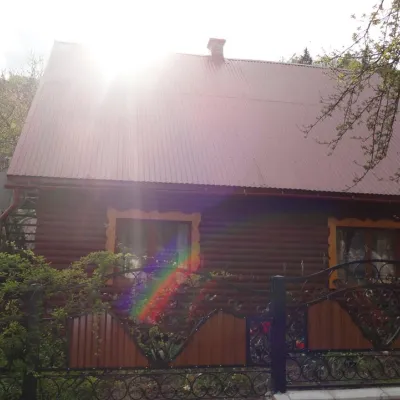 CottageCottage "Zatyshok" MykulychynKvasy4.4 km from Polonyna Menchul (Kvasy)FireplaceKitchenParkingNearby: Mt Sheshul 7.4 kmNyzhnyi Huk waterfall 8.9 km44 trails
Trails nearby
All trails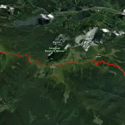 HardMulti-dayUnmarkedKvasy village to Zaroslyak basevia Mount Petros, Mount HoverlaElevation profile542–2 059 m32.2 kmascent 2 211 m≈ 12.5 h walkingunder 1 km from Polonyna Menchul (Kvasy)
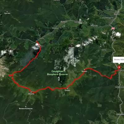 HardMulti-dayUnmarkedLuhy village to Kvasy villagevia Lake Nesamovyte, Mount Hoverla +1Elevation profile533–2 032 m37.8 kmascent 2 881 munder 1 km from Polonyna Menchul (Kvasy)
 HardMulti-dayUnmarkedKvasy village loopvia Mount PetrosElevation profile536–2 006 m31 kmascent 1 580 m≈ 11 h walkingunder 1 km from Polonyna Menchul (Kvasy)
Nearby attractions
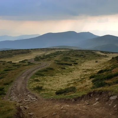 Mountain meadowPolonyna SheshulKvasyaltitude 1 620 m · Chornohora range3.1 km from Polonyna Menchul (Kvasy)Sheshul Polonyna is a treeless grassy ridge on the south-western spur of Petros in the western part of the Chornohora range, Rakhiv district, Zakarpattia.
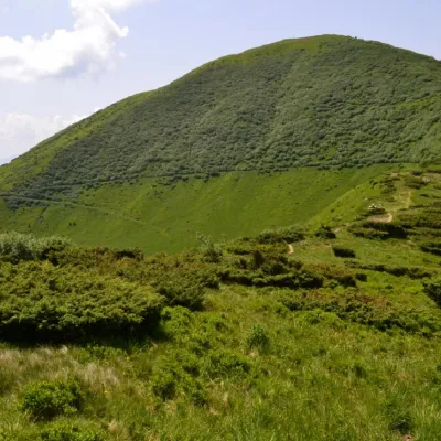 PeakMount SheshulKvasyaltitude 1 726 m · Chornohora range3.1 km from Polonyna Menchul (Kvasy)62 trails to the topSheshul is a 1,726-meter peak of the Ukrainian Carpathians, which is located in the western part of the Chornohora mountain range within the Carpathian Biosphere Reserve.
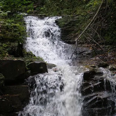 WaterfallNyzhnyi Huk waterfallRoztoky11 km from Polonyna Menchul (Kvasy)Nyzhnyi Huk waterfall is located in the Vyzhnytsia district of Chernivtsi region in western Ukraine. It is located in a picturesque Carpathian landscape and is part of...
Craft nearby
All craft places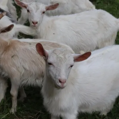 Eco farmsRozental Eco-Farm and Cheese Dairy, KvasyKvasy3.7 km from Polonyna Menchul (Kvasy)Beer and cider are brewed here, sheep's-milk ice cream is made, and in the Vaskul area above the village sits the Rozental eco-farm and cheese dairy.
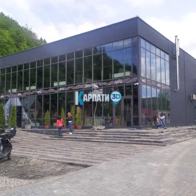 Craft beer & breweriesTsypa Brewery, KvasyKvasy4.2 km from Polonyna Menchul (Kvasy)The Tsypa Hutsul craft brewery in Kvasy is probably the best-known brewery in the Ukrainian Carpathians.
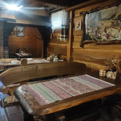 Koliby & Hutsul cuisineU Rizbaria Café, YasiniaYasinya12 km from Polonyna Menchul (Kvasy)U Rizbaria Café (“At the Woodcarver’s”) in Yasinia is a small Hutsul place serving home cooking that travellers usually find by word of mouth.
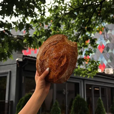 Craft producersDU-MEN craft bakery, RakhivRakhiv15 km from Polonyna Menchul (Kvasy)DU-MEN (DU•MEN.craft bakery) is a craft bakery in Rakhiv which, in its own words, has been baking “bread with a history” for twelve years.
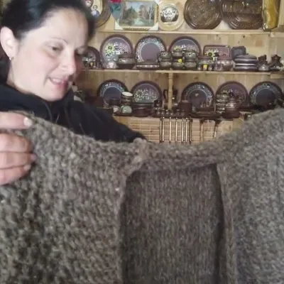 Markets & fairsSouvenir Market on the Yablunytsia Pass, YablunytsiaYablunytsia18 km from Polonyna Menchul (Kvasy)The souvenir market on the Yablunytsia Pass is one of the best-known roadside bazaars in the Carpathians.
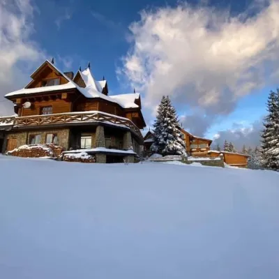 Koliby & Hutsul cuisineVysokyi Pereval Koliba, YablunytsiaYablunytsia18 km from Polonyna Menchul (Kvasy)Vysokyi Pereval Koliba ("High Pass") stands in Yablunytsia, on the new road to Bukovel, in the Horishkiv area.
