Mount Kanch
Kanch is a 1,578 m summit in the south-western Gorgany, in Zakarpattia Oblast. It stands east of the village of Synevyrska Poliana (about 4.5 km), in the fork of the Tereblia and Ozerianka valleys. Even closer are Berehy (about 3.6 km) and Zahorb (about 5 km), while Synevyr is about 6.5 km away.
Kanch forms a separate massif from which the summit of Popadia (1,452 m) juts out, about 1.7 km to the south-west. Pohar (1,412 m) rises 2.3 km to the north-west and Bolotniak (1,148 m) 3.6 km to the north-east. About 5 km from Kanch lies Yavirnyk (1,405 m) near Synevyr. This Popadia should not be confused with the peaks of the same name in the central Gorgany.
How to get there
Our site has no marked route to Kanch yet, and none of our routes passes closer than 3 km to the summit. The most logical starting points are Berehy and Synevyrska Poliana in the Tereblia valley. Without a marked path the climb requires experience, a map and navigation; plan your time so that you are down before dark.
Water, shelter and safety
Our map shows no springs near the summit. The nearest facilities are a picnic shelter near Berehy, about 3 km to the south-east (at around 845 m), and a hut near Synevyr, about 3.6 km to the north (around 970 m); their condition is unknown. Bring water from the valley. On unmarked slopes it is easy to lose your bearings, especially in fog, so download your route to your phone in advance and tell someone where you are going. The nearest summit with our forecast is weather on Hrofa (about 14 km away). In an emergency call 112 or 101 — contacts of the nearest units are on our mountain rescue page.
Interesting facts
- Kanch is the highest point of its massif: neighbouring Popadia is 126 m lower.
- The mountain stands in the fork of two valleys, the Tereblia and the Ozerianka, so its slopes drain into both rivers.
Comments
Places to stay nearby
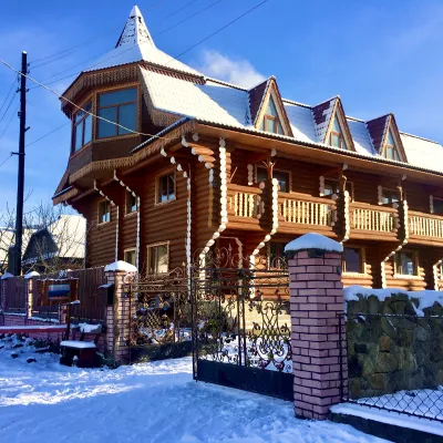 HotelChayna Khata19 km from Mount KanchHot tubBBQKitchen
 Homestead"U Davidka i Matviika"19 km from Mount KanchFireplaceKitchenParkingNearby: Mt Petros Gorgansky 4.6 kmMt Studenets 3.8 km2 trails
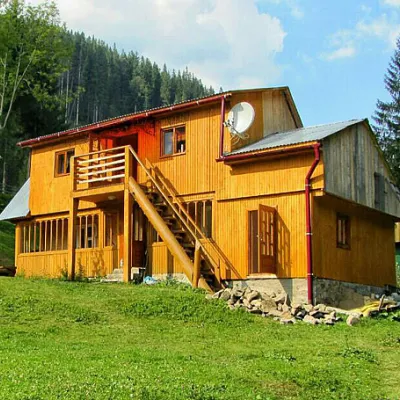 HomesteadHomestead "Kraynya Khata na Seli" Synevyrska Polyana4.5 km from Mount KanchHot tubSaunaBBQNearby: Ozerna Mountain 2.8 kmKamyanka Mountain 6.5 km5 trails
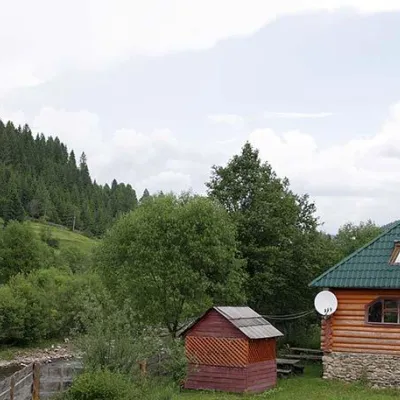 HomesteadHomestead "Yalyna" Synevyrska Polyana4.5 km from Mount KanchSaunaParkingWi‑FiNearby: Ozerna Mountain 3.3 kmKamyanka Mountain 5.4 km5 trails
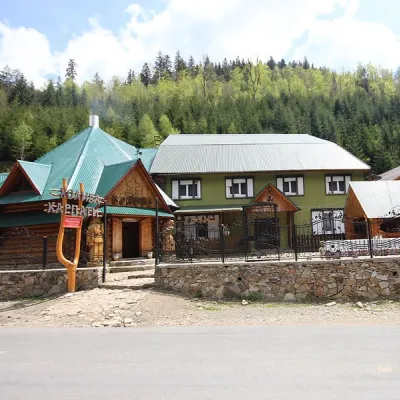 HotelGuest house "Karpaty" Synevyrska Polyana4.5 km from Mount KanchSaunaBBQParkingNearby: Ozerna Mountain 3.3 kmKamyanka Mountain 5.4 km5 trails
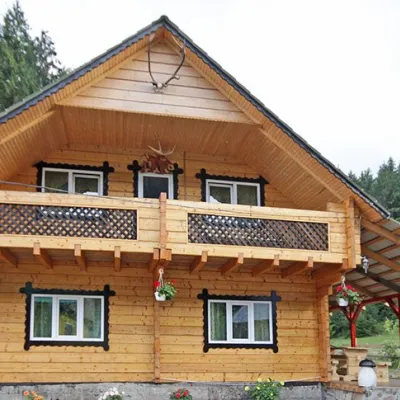 HomesteadHomestead "Zatyshok"4.5 km from Mount KanchSaunaBBQParkingNearby: Ozerna Mountain 3.3 kmKamyanka Mountain 5.4 km5 trails
Trails nearby
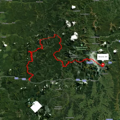 HardMulti-dayUnmarkedMyslivka village to Mizhhiriavia Mount Moloda, Mount Popadia +3Elevation profile444–1 717 m117 kmascent 6 438 m4.9 km from Mount Kanch
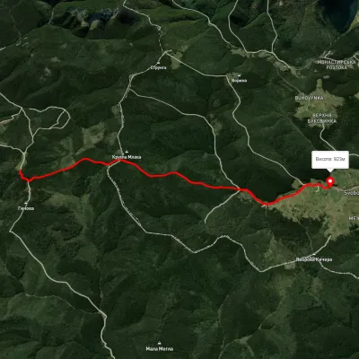 EasyOne-dayMarkedSvoboda Hycha polonynaElevation profile927–1 262 m5.7 kmascent 136 m≈ 1.5 h walking5.5 km from Mount Kanch
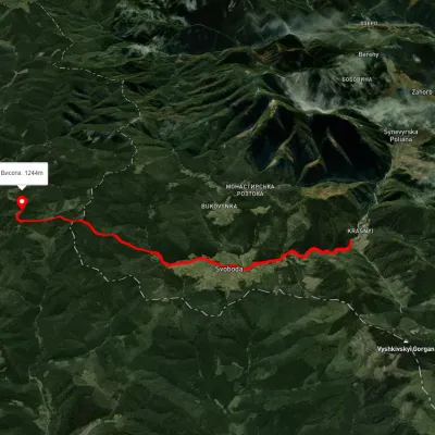 ModerateTwo-dayUnmarkedSynevyrska Poliana village to Hycha polonynavia Svoboda villageElevation profile857–1 261 m16.8 kmascent 579 m≈ 5.5 h walking5.6 km from Mount Kanch
Nearby attractions
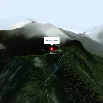 PeakMount Yavirnykaltitude 1 405 m5.1 km from Mount Kanch16 trails to the topMount Yavirnyk is located in the Carpathians, near the village of Synevyr, in western Ukraine. It is a part of the Synevyr mountain range, which is the largest forest...
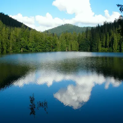 LakeSynevyr Lake Synevyrska Polyana6.4 km from Mount KanchLake Synevyr, located on the territory of the National Nature Park of the same name in Mizhhirya district of Zakarpattia region, is the largest and one of the most...
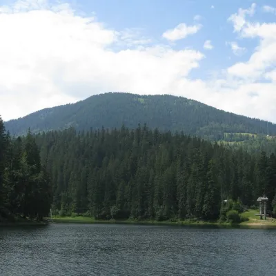 PeakOzerna Mountainaltitude 1 496 m7.3 km from Mount Kanch6 trails to the topMount Ozerna (+1496 meters) rises above Lake Synevyr. The ascent begins in the village of Torun.