Mount Rozluch
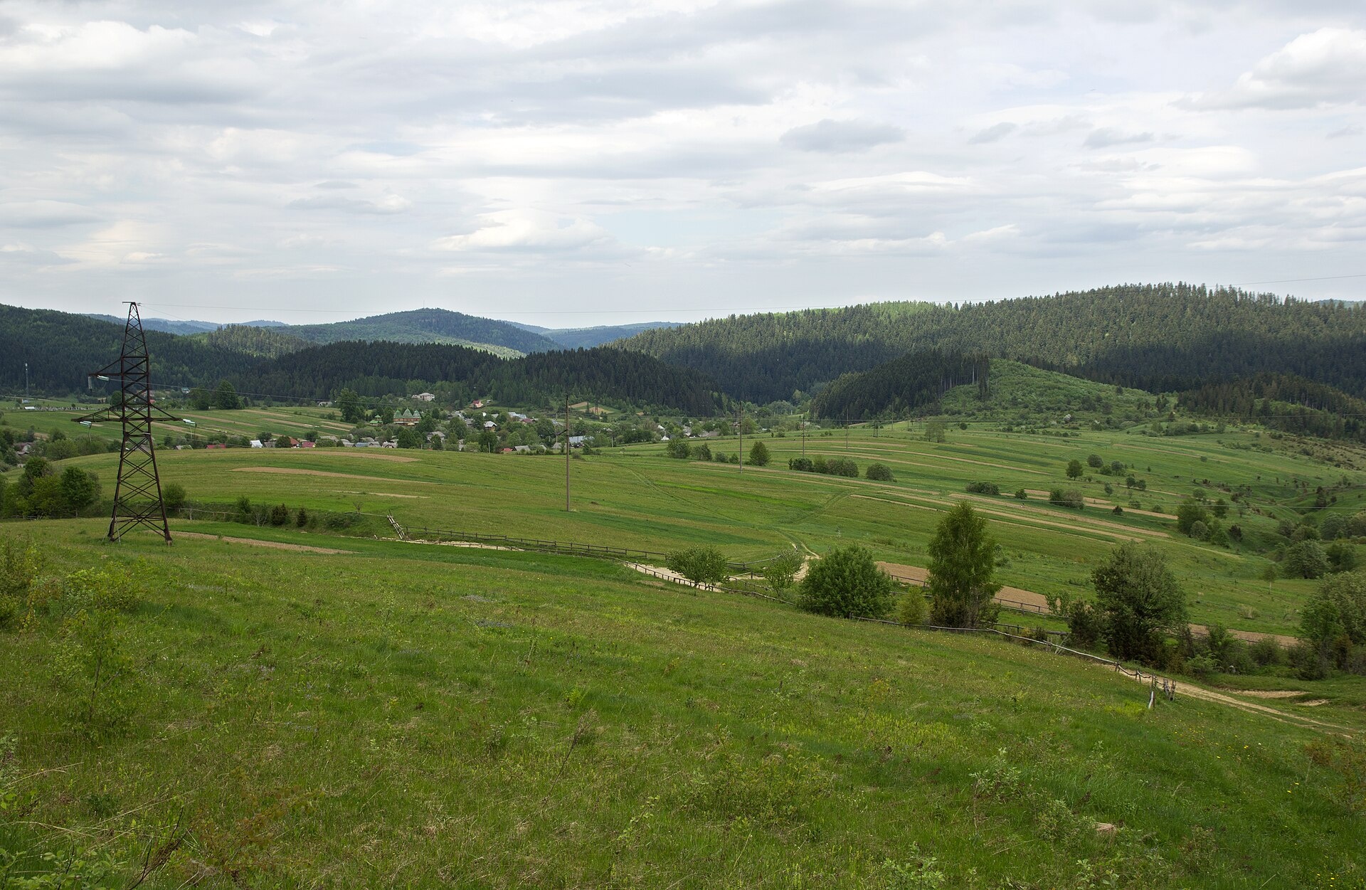
Rozluch is a 933 m mountain in the Upper Dniester Beskids, the highest point of the Rozluch ridge. It lies in the Sambir (formerly Turka) district of Lviv Oblast, south-east of the village of Rozluch. The village closest to the summit is Shumiach, about 2.5 km away; Turka, the centre of the old Turka district, is about 7 km away.
It is a modest wooded hill, yet the area around it is special: one of Ukraine's greatest rivers, the Dniester, rises nearby, and the Rozluch nature reserve lies north of the summit.
How to get there
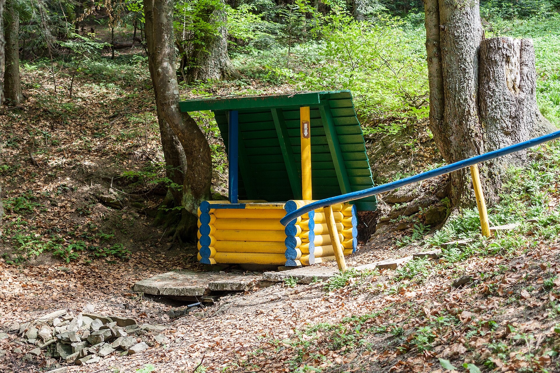
Our site has no marked route to the top yet. The easiest way up is along forest roads from Rozluch or Shumiach; on the way it is worth stopping at the source of the Dniester.
Water, shelter and safety
About 700 m from the summit our map shows the «Source of the Dniester» spring, and in Rozluch itself there are several ordinary and mineral springs, including «Sodova». There are no huts on the mountain; stay in the village. Although the mountain is low, it is easy to lose your bearings in the forest, and in autumn and winter it gets dark early — carry an offline map and a charged phone. In an emergency call 112 or 101 — contacts of the nearest units are on the mountain rescue page.
Interesting facts
- The Dniester, which flows across the whole of Ukraine to the Black Sea, rises not far from the mountain.
- The Rozluch nature reserve lies to the north of the summit.
Photos: Dmytro Petishkin, CC BY 4.0; PhotoDocumentalist, CC BY-SA 4.0 — Wikimedia Commons.
Location on the map
Comments
Places to stay nearby
 HotelTAOR Karpaty Resort & Spa19 km from Mount RozluchThe TAOR Karpaty Resort & Spa is located in the village of Korytyshche, just 9 km from the resort of Skhidnytsia.Nearby: Lazny waterfall 9.0 km
 HotelHotel "Sobyn" Rozluch3.8 km from Mount RozluchPoolSaunaSPANearby: Rozluch Landscape Reserve 1.9 kmChurch of St. Francis 1.3 km
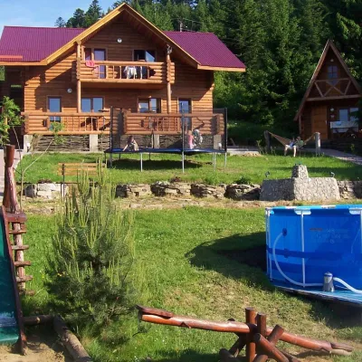 HotelTourist Base "Boikyvs'kyi Dvir" Yasenytsia-Zamkova5 km from Mount RozluchPoolSaunaKidsNearby: Rozluch Landscape Reserve 2.9 kmChurch of St. Francis 2.4 km
Trails nearby
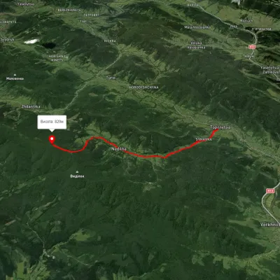 ModerateOne-dayMarkedNedilna Tower of MemoryElevation profile440–823 m9 kmascent 598 m≈ 3.5 h walking12 km from Mount Rozluch
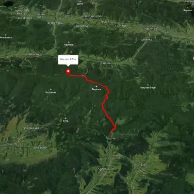 EasyOne-dayMarkedSprynia Tower of Memoryvia ChapelElevation profile460–823 m6.1 kmascent 617 m≈ 3 h walking19 km from Mount Rozluch
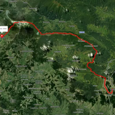 HardMulti-dayUnmarkedSianky village to Bilasovytsia villagevia the Verkhovyna Watershed ridge, Mount PikuiElevation profile558–1 388 m40.9 kmascent 1 396 m≈ 13 h walking20 km from Mount Rozluch
Nearby attractions
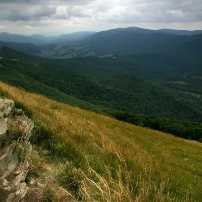 NatureRazlucha Ridgeunder 1 km from Mount RozluchThe ridge is located near the source of the Dniester River. TheRozlucha ridge is suitable for families.
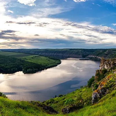 RiverDniester1.2 km from Mount RozluchThe Dniester is one of the most famous and largest rivers in Ukraine. The Dniester has been used as an important waterway for the transportation of goods, and its...
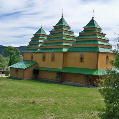 ChurchChurch of the Nativity of the Virgin Mary, Rozluzh2.5 km from Mount RozluchThe Church of the Nativity of the Virgin Mary is one of the most famous monuments of the beautiful town of Rozluch, Turka district, Lviv region.