Mount Gutin Tomnatik
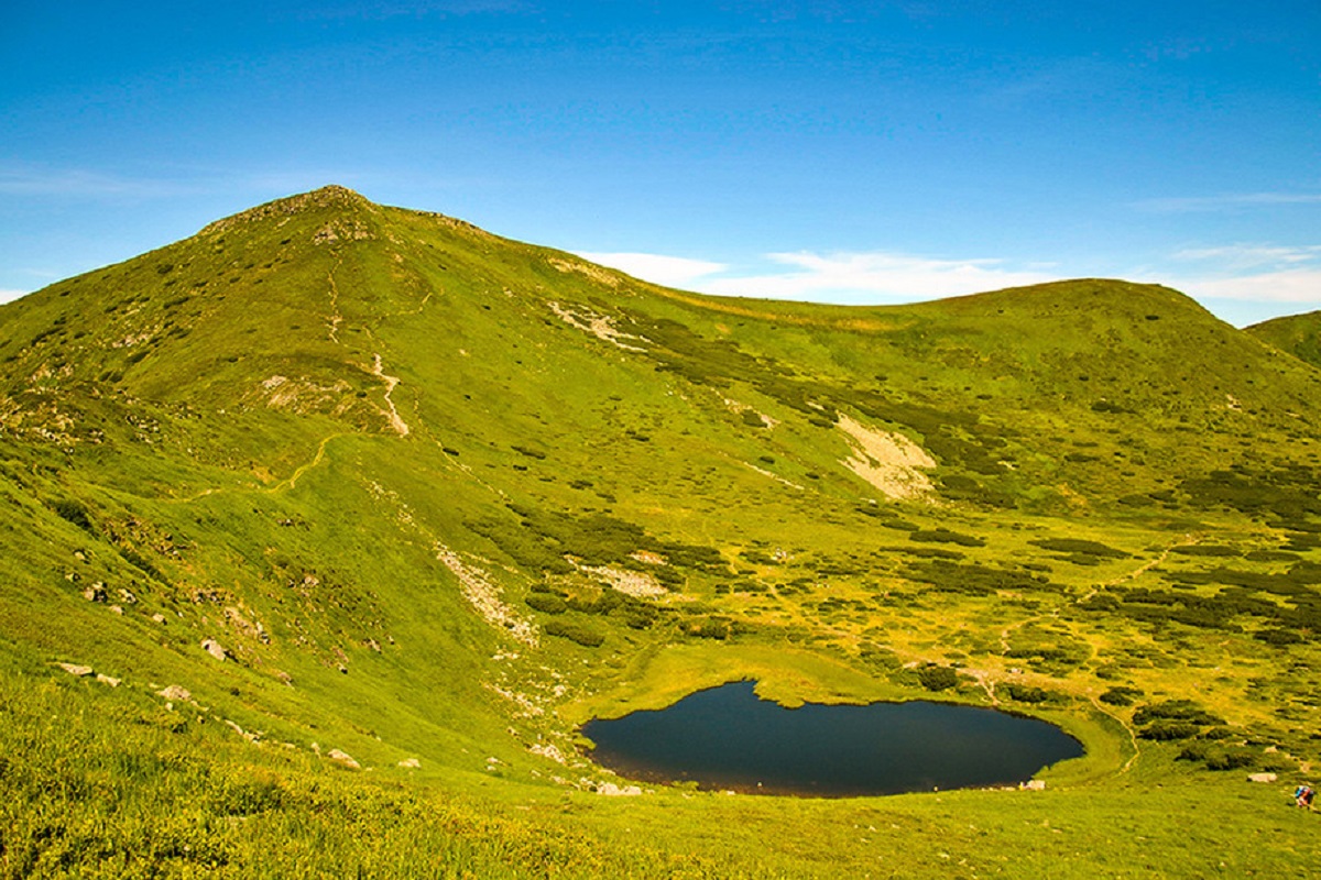
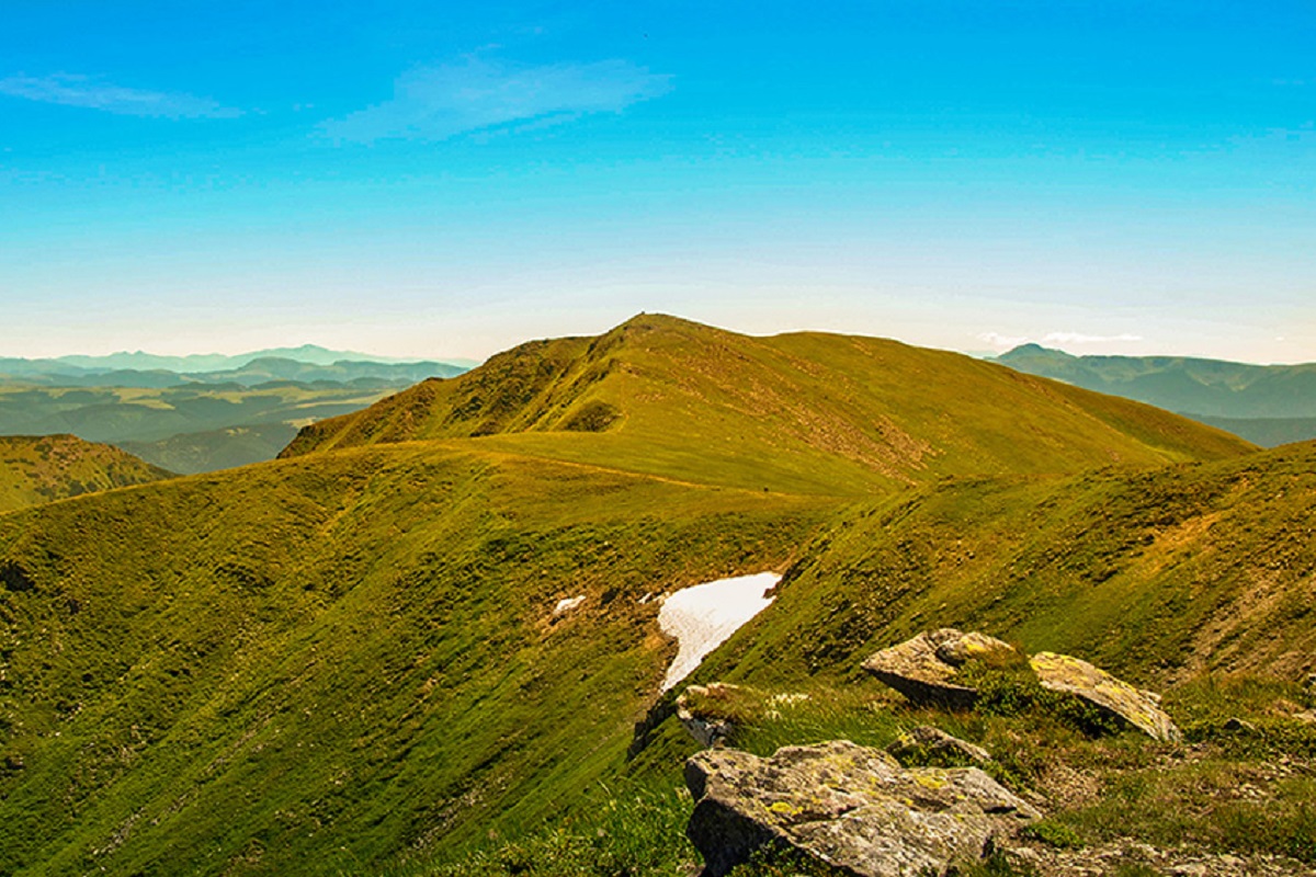
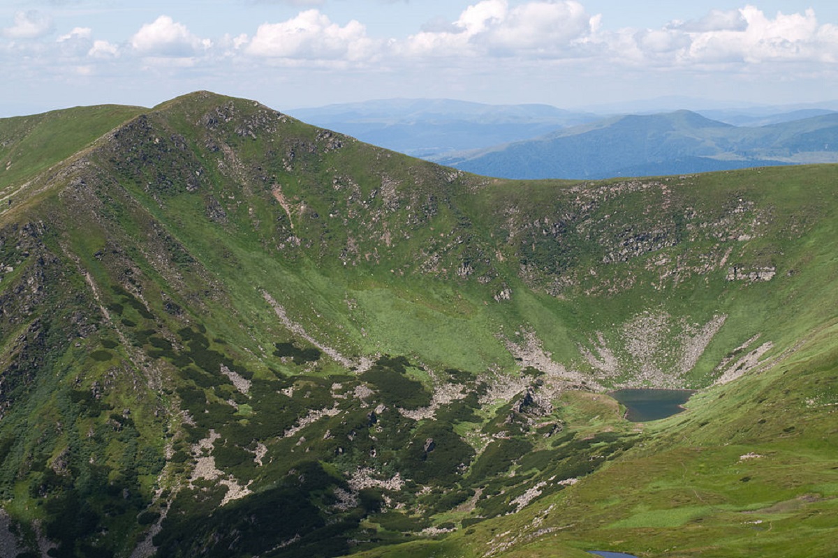
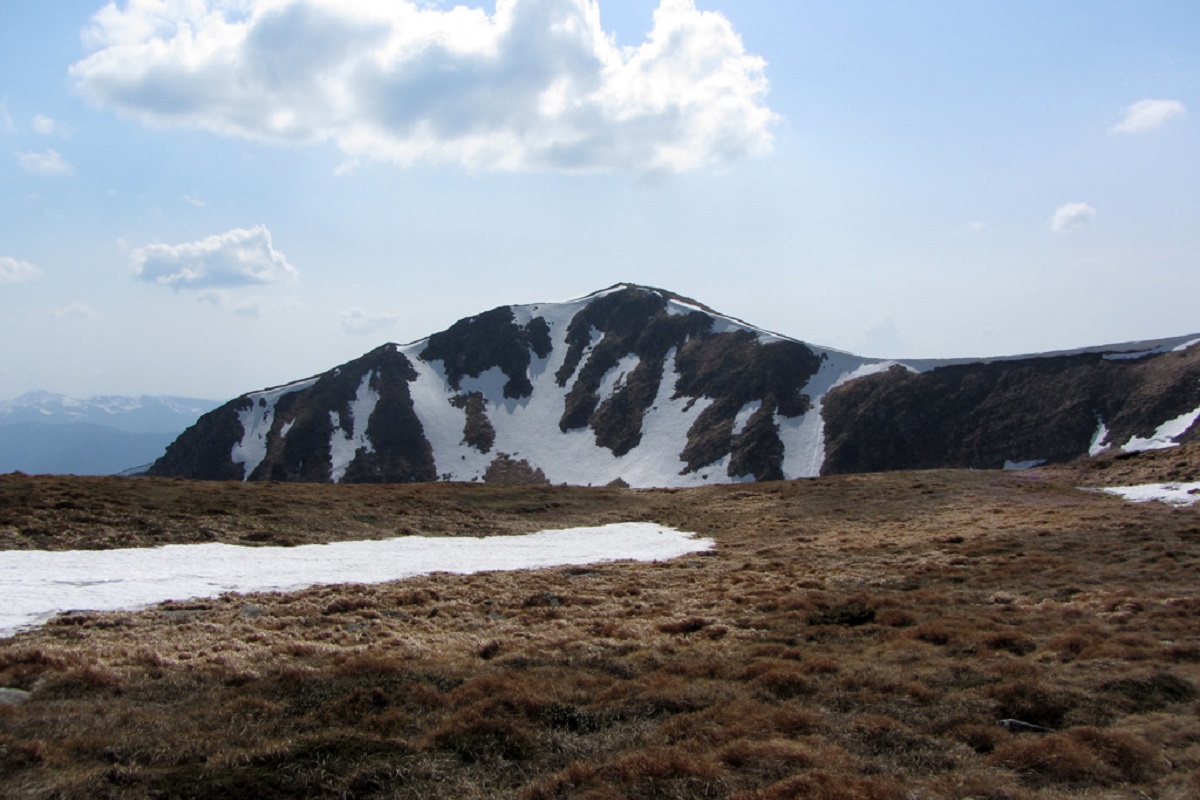
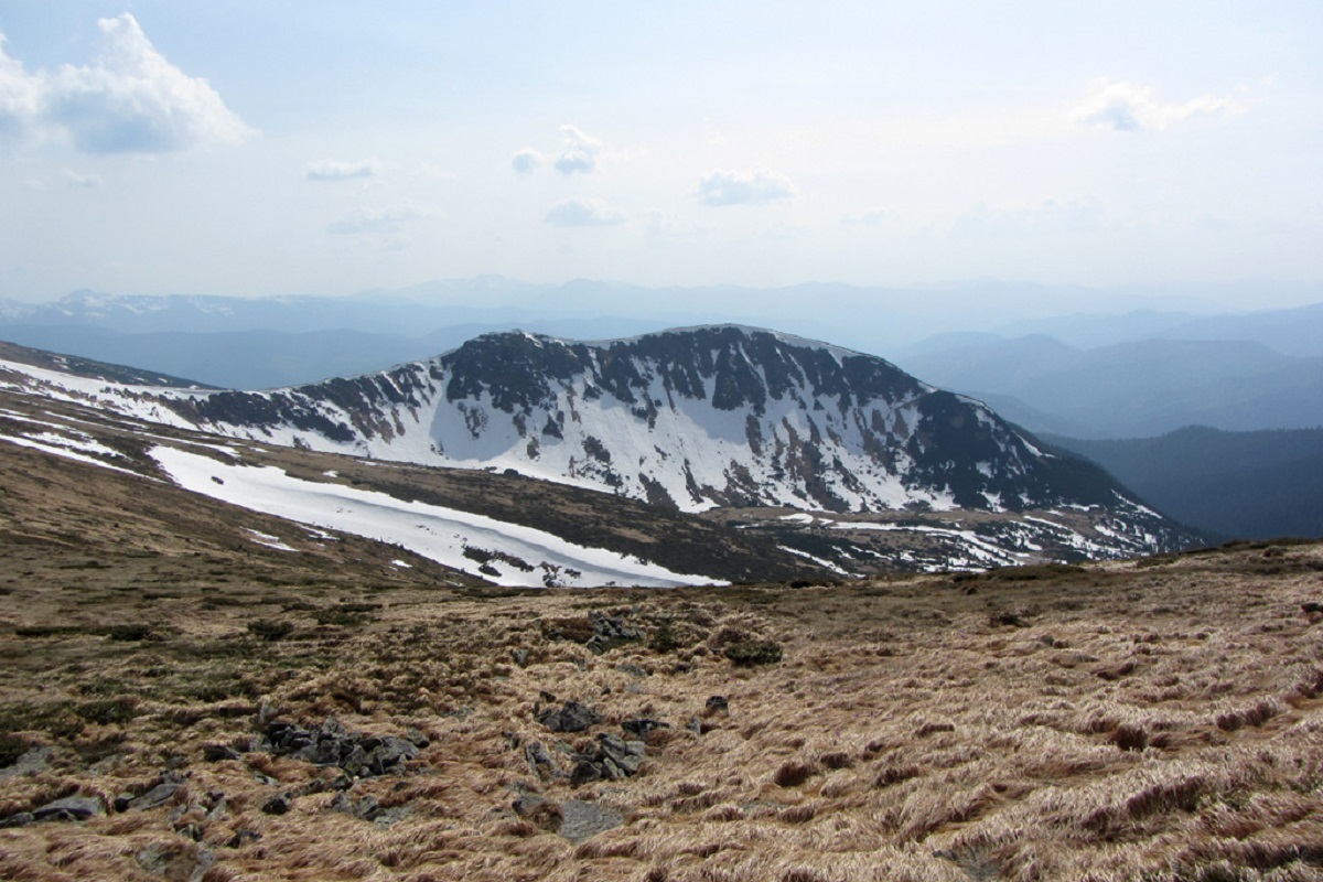
Gutin Tomnatik (2016 m) is the fifth highest mountain in Ukraine, on a south-western spur of Chornohora in the Carpathian Biosphere Reserve. Below it, in a glacial cirque, lies Ukraine's highest lake, Brebeneskul. The route from the lake over the summit to the Zaroslyak base is 11.9 km.
Where it is
The mountain stands in the Rakhiv district of the Zakarpattia region. Rebra is 1.4 km to the north, Brebeneskul to the east, the Brebeneska meadow to the south. The nearest villages are Hoverla in Zakarpattia and Bystrets in the Ivano-Frankivsk region.
Nature
Only Hoverla (2061 m), Brebeneskul (2035 m), Pip Ivan Chornohirskyi (2028 m) and Petros (2020 m) are higher. Alpine and subalpine plants grow on the slopes, including rare and relict species. Between Gutin Tomnatik and Brebeneskul, at over 1800 m, lies Lake Brebeneskul.
Where to start
The summit is usually visited while walking the main Chornohora ridge, for example Lake Brebeneskul – Gutin Tomnatik – Lake Nesamovyte – Zaroslyak. Hikers usually camp by Lake Brebeneskul.
The summit at a glance
- Elevation: 2016 m above sea level
- Range: Chornohora
- Nearest settlement: Bystrets
- Routes over the summit on Karpaty.rocks: 79
- Best time: June–September; in winter only with experience and gear (avalanche danger is possible)
Routes to the summit
The routes over the summit most viewed by Karpaty.rocks readers. Length and ascent come from our track and a digital elevation model, time from Naismith's rule (without stops).
- Lake Brebeneskul, via Mount Rebra and Mount Shpytsi to Lake Nesamovyte — 7 km, ascent 367 m, ≈2.5 h of walking
- Vorokhta, via Mount Shpytsi and Mount Rebra to Lake Brebeneskul — 28.3 km, ascent 1,280 m, ≈9 h of walking
- Zaroslyak base, via Lake Nesamovyte and Mount Shpytsi to Lake Brebeneskul — 13.6 km, ascent 788 m, ≈4.5 h of walking
- Lake Brebeneskul, via Mount Hutyn Tomnatyk and Lake Nesamovyte to Zaroslyak base — 11.9 km, ascent 340 m, ≈3.5 h of walking
- Dzembronia village, via Mount Smotrych, Mount Dzembronia, Mount Shpytsi and the Pid Haiem tract to Dzembronia village — 32.5 km, ascent 1,832 m, ≈11 h of walking, loop
- Zaroslyak base, via Mount Shpytsi, Mount Rebra, Mount Menchul, Mount Turkul and Mount Pozhyzhevska to Zaroslyak base — 29.3 km, ascent 1,632 m, ≈10 h of walking, loop
All routes over the summit (79)
Weather and safety
The summit is above the tree line: fog, strong wind and thunderstorms are possible even in summer, and the weather can change within hours. Check the forecast before you set off, take water, a rain jacket and a warm layer, and plan to reach the top before midday.
If your route starts from the Verkhovyna side (Dzembronia, Bystrets) or from Rakhiv, check the border guards' requirements. How to get a border guard permit (in Ukrainian).
In an emergency call 101 or 112. Carpathian mountain rescue contacts.
FAQ — Gutin Tomnatik
Gutin Tomnatik: how high is the summit?
It rises to 2016 m above sea level and belongs to the Chornohora range.
Gutin Tomnatik: how long does it take to reach the summit?
The shortest of the popular routes is “Lake Brebeneskul, via Mount Rebra and Mount Shpytsi to Lake Nesamovyte”: 7 km with 367 m of ascent, about 2.5 h of walking without stops. Allow extra time for rests, photos and the weather.
Gutin Tomnatik: when is the best time to go?
June to September, when the paths are free of snow. In winter the ascent is only for experienced hikers with avalanche gear and after checking the forecast.
Gutin Tomnatik: where to stay nearby?
The nearest settlement in our data is Bystrets. Places to stay nearby: hotels, guesthouses and cottages.
Location on the map
Water and shelter nearby
- Spring below Mount Hutyn Tomnatyk390 m · Has water · 1 791 m
- Spring below Mount Hutyn Tomnatyk (4)570 m · Not verified · 1 797 m
- Spring below Mount Hutyn Tomnatyk (3)640 m · Not verified · 1 881 m
- Spring below Mount Hutyn Tomnatyk (2)700 m · Not verified · 1 918 m
- Spring below Mount Brebeneskul1.6 km · Not verified · 1 921 m
- Spring below Mount Brebeneskul (2)1.9 km · Not verified · 1 908 m
- Spring below Mount Brebeneskul (3)1.9 km · Not verified · 1 946 m
- Spring below Mount Brebeneskul (4)2.2 km · Not verified · 1 906 m
- Spring below Mount Menchul2.4 km · Weak flow · 1 905 m
- Spring on Polonyna Hadzhyna (2)2.5 km · Not verified · 1 629 m
- Spring on Polonyna Hadzhyna2.5 km · Not verified · 1 646 m
- Spring (Luhy, 13)2.7 km · Not verified · 1 421 m
- Spring below Mount Turkul (4)2.8 km · Not verified · 1 739 m
- Spring below Mount Turkul (5)2.8 km · Not verified · 1 745 m
Comments
Places to stay nearby
All stays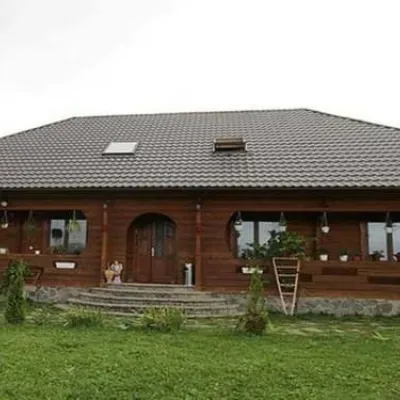 HotelPid Vukhatym KamenemDzembronia9.2 km from Mount Gutin TomnatikHot tubBBQParkingNearby: Polonyna Psarivka 2.3 kmMt Smotrych 4.5 km33 trailsfrom 1 210 UAH per night
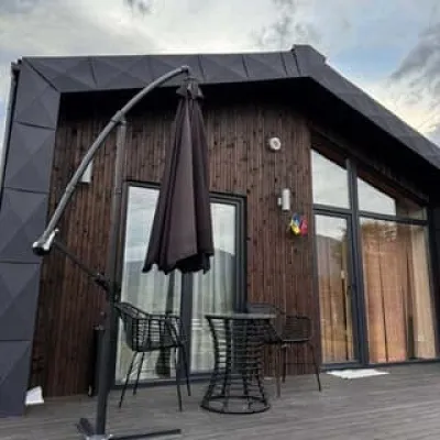 −50%CottageKrasnyk HillsVerkhovyna16 km from Mount Gutin TomnatikPoolBBQParkingNearby: Museum of mushrooms 700 mPolonyna Krinta 3.8 km13 trailsfrom 4 000 UAH per night
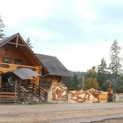 HotelBiia HoverlyVorokhta12 km from Mount Gutin TomnatikBBQParkingWi‑FiNearby: Mt Kukul 3.5 kmPolonyna Kukul 4.0 km5 trailsfrom 1 320 UAH per night
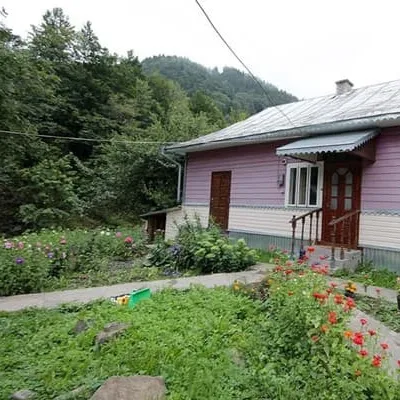 HotelU IvanaDzembronia13 km from Mount Gutin TomnatikBBQParkingWi‑FiNearby: Polonyna Krinta 2.2 kmMuseum of Hutsul life 3.9 km32 trailsfrom 2 970 UAH per night
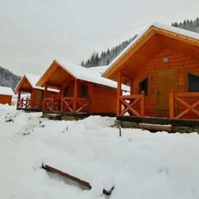 HotelBilyi SlonDzembronia13 km from Mount Gutin TomnatikSaunaBBQParkingNearby: Polonyna Krinta 2.2 kmMuseum of Hutsul life 3.9 km31 trailsfrom 2 800 UAH per night
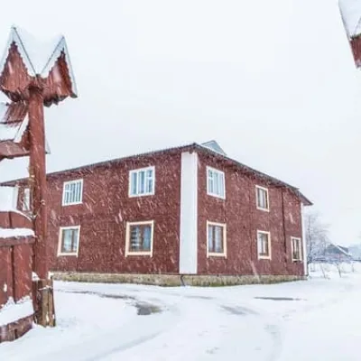 HotelU HannusyVerkhovyna14 km from Mount Gutin TomnatikBBQParkingTransferNearby: Museum of Hutsul life 900 mPolonyna Krinta 4.3 km15 trailsfrom 1 190 UAH per night
Trails via Mount Gutin Tomnatik
All 79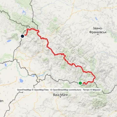 HardMulti-dayMarkedTranscarpathian Tourist TrailElevation profile202–2 061 m393.2 kmascent 17 790 m
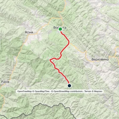 HardMulti-dayVorokhta to Mount Pip Ivan Chornohirskyivia Zaroslyak base, Mount Hoverla +2Elevation profile746–2 061 m42.2 kmascent 2 222 m
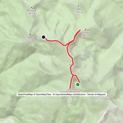 EasyOne-dayLake Brebeneskul to Lake Nesamovytevia Mount Rebra, Mount ShpytsiElevation profile1 748–2 016 m7 kmascent 367 m≈ 2.5 h walking
Nearby attractions
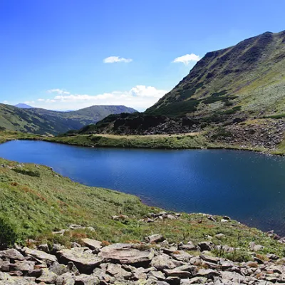 LakeLake BrebeneskulLuhyunder 1 km from Mount Gutin TomnatikBrebeneskul is the highest mountain lake in the Ukrainian Carpathians (1801 m above sea level), a hydrological natural monument of local importance (registered as Lake...
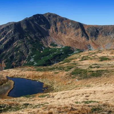 Mountain meadowPolonyna BrebeneskaLuhyaltitude 1 820 m · Chornohora range1 km from Mount Gutin TomnatikBrebeneska Polonyna is a high mountain pasture on the south-western, Transcarpathian side of the main Chornohora ridge, between the peaks of Brebeneskul (2,035 m) and...
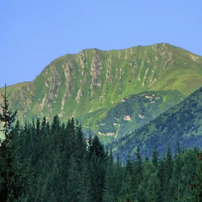 PeakMount RebraBystretsaltitude 2 001 m · Chornohora range1.4 km from Mount Gutin Tomnatik91 trails to the topRebra (2001 m) is a peak in the central part of the main Chornohora ridge, on the border of the Ivano-Frankivsk and Zakarpattia regions — the lowest of Ukraine's six ...
Craft nearby
All craft places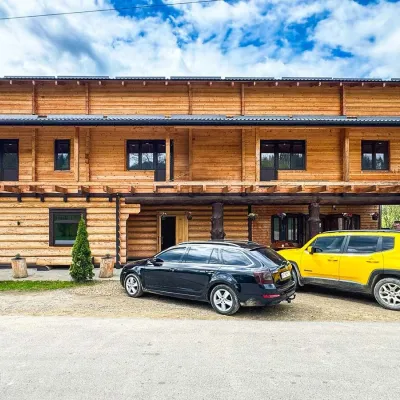 Koliby & Hutsul cuisineZRUB Ethno Restaurant, IltsiIltsi16 km from Mount Gutin TomnatikZRUB Ethno Restaurant is a new log-built home of Hutsul cooking in the village of Iltsi, on the edge of Verkhovyna, the town often called the Hutsul capital.
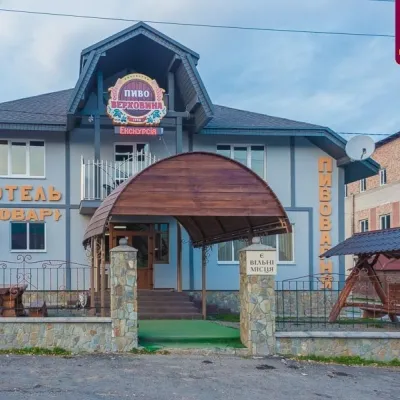 Craft beer & breweriesVerkhovyna Brewery at the Pyvovar Motel, VerkhovynaVerkhovyna19 km from Mount Gutin TomnatikVerkhovyna Brewery operates at the Pyvovar motel on the approach to Verkhovyna, the Hutsul capital of the Carpathians.
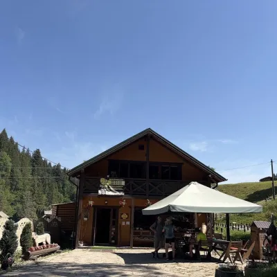 Craft shopsKopalnia Bryndzy cheese shop and tasting, VerkhovynaVerkhovyna20 km from Mount Gutin TomnatikKopalnia Bryndzy (“The Brynza Mine”) is a small farm cheese shop with a tasting room on the edge of Verkhovyna, in the valley of the Zhabievskyi stream.
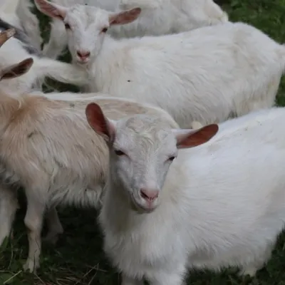 Eco farmsRozental Eco-Farm and Cheese Dairy, KvasyKvasy21 km from Mount Gutin TomnatikBeer and cider are brewed here, sheep's-milk ice cream is made, and in the Vaskul area above the village sits the Rozental eco-farm and cheese dairy.
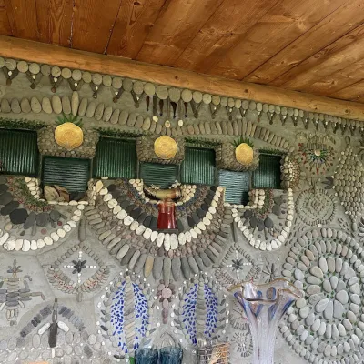 Ethno parks & homesteadsArt Ethno-Sadyba “Tsikava Sadyba”, VerkhovynaVerkhovyna21 km from Mount Gutin TomnatikTsikava Sadyba («The Curious Estate») is a private art homestead in the very centre of Verkhovyna that local housewife and artist Oksana Susiak has been shaping since...
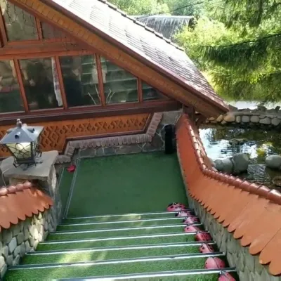 Koliby & Hutsul cuisineStara Vorokhta Restaurant, VorokhtaVorokhta21 km from Mount Gutin TomnatikStara Vorokhta restaurant ("Old Vorokhta") is one of the best-known places for Hutsul food in Vorokhta: on Google Maps it is rated 4.6 from more than 6,300 reviews, a...
