Mount Ploska, Bystrytsia
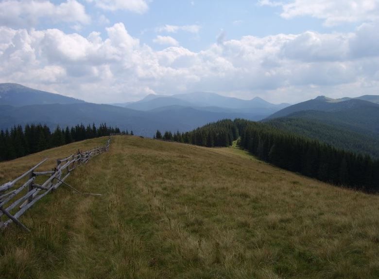
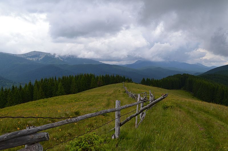
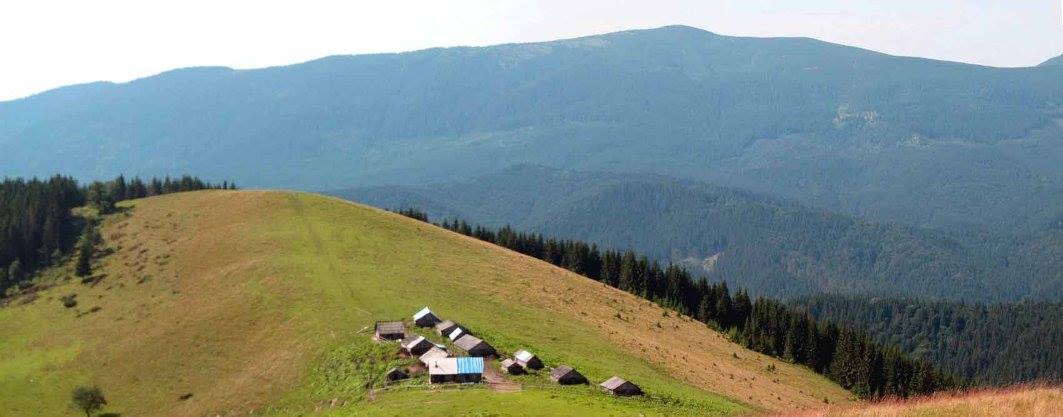
Ploska is a mountain in the Gorgany massif (Ukrainian Carpathians). It is located within Nadvirna district of Ivano-Frankivsk region and Rakhiv district of Zakarpattia region (only the southeastern slopes of the mountain).
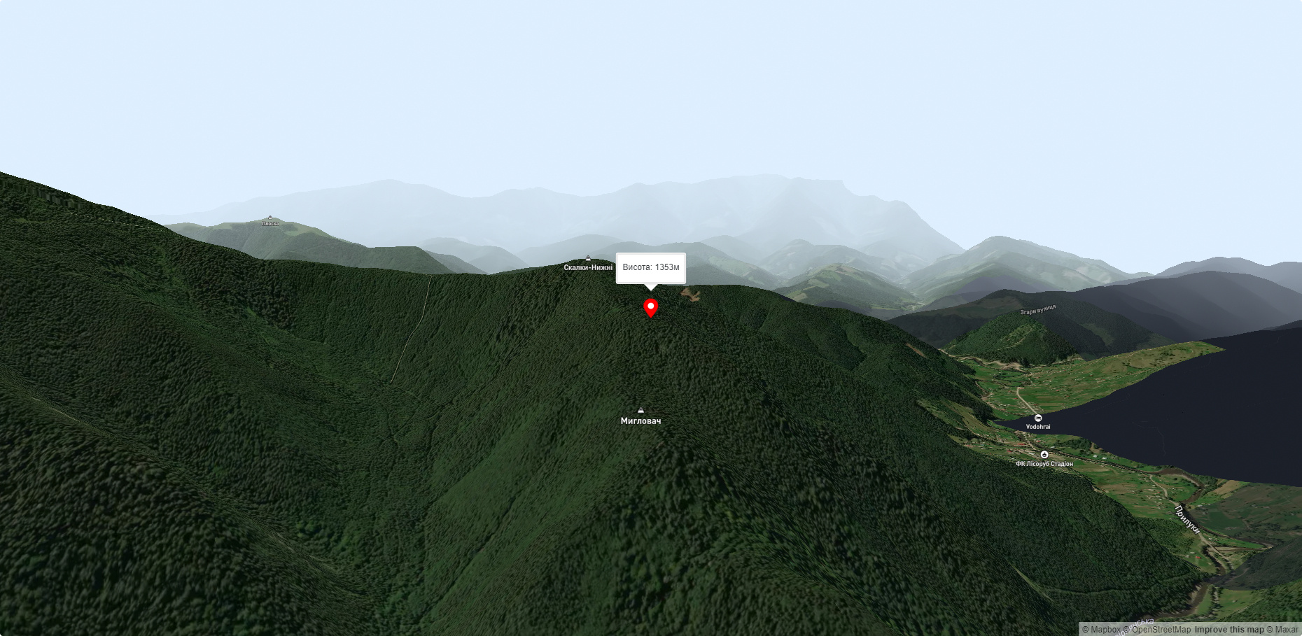
The height is 1352.6 m. The mountain has the shape of a ridge stretching from southeast to northwest. The northeastern, western and southern slopes are very steep. The summit is unforested; there are stone scatters.
To the northwest of the mountain is the village of Bystrytsia, to the southeast is the village of Chorna Tysa. Before the Second World War, the Polish-Czechoslovakian border passed through the peak.
Accommodation around Mount Ploska, Bystrytsia:


Nearby hiking trails near Mount Ploska, Bystrytsia:
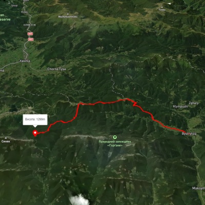
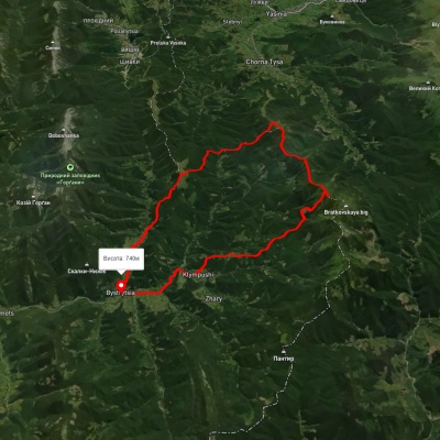

Which trails pass by Mount Ploska, Bystrytsia?
We suggest these hiking trails through or near Mount Ploska, Bystrytsia: Bystrytsia village – Mount Malyi Horhan, Bystrytsia village, via Klympushi village, Mount Ruska and Mount Chorna Kleva to Bystrytsia village, Bystrytsia village, via Mount Hropa, Mount Bratkivska and Mount Chorna Kleva to Polianytsia village, Bystrytsia village, via Mount Chorna Kleva, Mount Ruska and Mount Bratkivska to Bystrytsia village, Yablunytsia village, via Khomiakiv polonyna, Mount Syniak, Mount Malyi Horhan, Mount Dovbushanka and Mount Vedmezhyk to Polianytsia village, East Carpathian Tourist Trail