Mount Hoverla
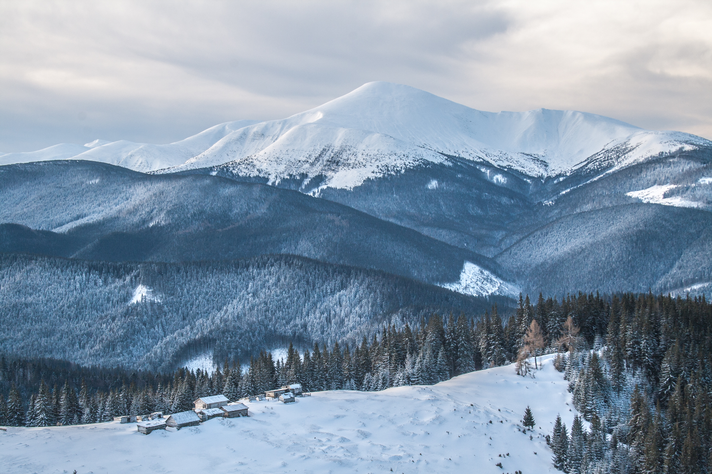


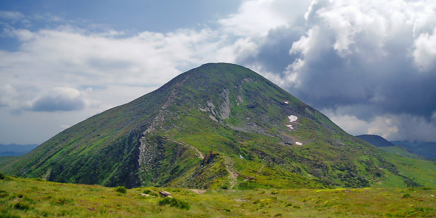
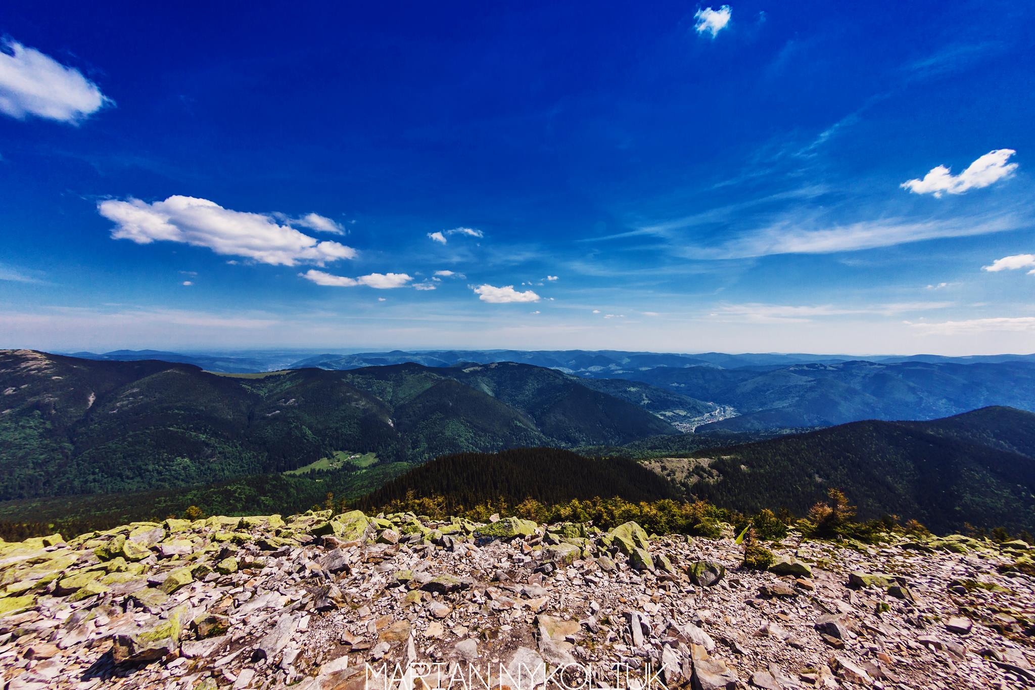
Hoverla (2061 m) is the highest mountain in Ukraine, in the Chornohora range on the border of the Ivano-Frankivsk and Zakarpattia regions. The shortest ascent, from the Zaroslyak base, is 3.7 km with 795 m of climbing, about 2.5 hours. From the top you see the whole Chornohora ridge, from Petros to Pip Ivan.
Where it is
Hoverla stands in the north-western part of the main Chornohora ridge. Its Ivano-Frankivsk slopes belong to the Carpathian National Nature Park, the Zakarpattia slopes to the Carpathian Biosphere Reserve. The mountain is cone-shaped: up to about 1500 m the slopes are covered with spruce forest, higher up come dwarf pine, meadows and rocky ground.
What you will see
A metal cross and a trident stand on the summit. The Prut river rises under the eastern slope, and further down is the Prut waterfall, a cascade with a total drop of almost 80 m. To the west you can see Petros, to the south-east the whole ridge as far as Pip Ivan Chornohirskyi.
Where to start
Most hikers climb from the Ivano-Frankivsk side, from the Zaroslyak base, which is reached by road from Vorokhta. From there you can go up and down the same path or walk a loop over Hoverla and Lake Nesamovyte. On the Zakarpattia side the paths start in the Kozmeshchyk area near Lazeshchyna, with the Kozmeshchyk – Hoverla – Kozmeshchyk loop. Along the ridge, the Petros – Hoverla route links Hoverla with Petros.
Hoverla is one of the most visited summits in the Carpathians, so the paths are busy in the warm season. Take all your rubbish with you.
The summit at a glance
- Elevation: 2061 m above sea level
- Range: Chornohora
- Nearest settlement: Vorokhta
- Routes over the summit on Karpaty.rocks: 109
- Best time: June–September; in winter only with experience and gear (avalanche danger is possible)
Routes to the summit
The routes over the summit most viewed by Karpaty.rocks readers. Length and ascent come from our track and a digital elevation model, time from Naismith's rule (without stops).
- Zaroslyak base, via Mount Hoverla and Lake Nesamovyte to Zaroslyak base — 16.9 km, ascent 1,095 m, ≈6 h of walking, loop
- Kozmeshchyk – Mount Hoverla – Kozmeshchyk — 15.3 km, ascent 1,201 m, ≈6 h of walking, loop
- Zaroslyak base – Mount Hoverla — 3.7 km, ascent 795 m, ≈2.5 h of walking
- Mount Petros – Mount Hoverla — 9.9 km, ascent 646 m, ≈3.5 h of walking
- Kvasy village, via Mount Petros and Mount Hoverla to Zaroslyak base — 28.9 km, ascent 2,025 m, ≈10.5 h of walking
- Lake Nesamovyte, via Mount Shpytsi, Mount Hoverla and Hoverla Waterfall to Zaroslyak base — 14.4 km, ascent 886 m, ≈5 h of walking
All routes over the summit (109)
Weather and safety
The summit is above the tree line: fog, strong wind and thunderstorms are possible even in summer, and the weather can change within hours. Check the forecast before you set off, take water, a rain jacket and a warm layer, and plan to reach the top before midday. Summit weather forecast.
If your route starts from the Verkhovyna side (Dzembronia, Bystrets) or from Rakhiv, check the border guards' requirements. How to get a border guard permit (in Ukrainian).
In an emergency call 101 or 112. Carpathian mountain rescue contacts.
FAQ — Hoverla
Hoverla: how high is the summit?
It rises to 2061 m above sea level and belongs to the Chornohora range.
Hoverla: how long does it take to reach the summit?
The shortest of the popular routes is “Zaroslyak base – Mount Hoverla”: 3.7 km with 795 m of ascent, about 2.5 h of walking without stops. Allow extra time for rests, photos and the weather.
Hoverla: when is the best time to go?
June to September, when the paths are free of snow. In winter the ascent is only for experienced hikers with avalanche gear and after checking the forecast.
Hoverla: where to stay nearby?
The nearest settlement in our data is Vorokhta. Places to stay nearby: hotels, guesthouses and cottages.
Location on the map
Water and shelter nearby
- Eco point “At the foot of Hoverla” (hut)640 m · Standing · 1 832 m
- Spring below Mount Hoverla (6)640 m · Not verified · 1 802 m
- Spring below Mount Breskul (4)740 m · Not verified · 1 778 m
- Spring below Mount Breskul (5)900 m · Not verified · 1 679 m
- Spring below Mount Breskul (6)950 m · Not verified · 1 599 m
- Spring below Mount Hoverla (5)1 km · Has water · 1 748 m
- Spring below Mount Breskul (3)1.2 km · Not verified · 1 731 m
- Spring below Mount Velyka Kozmeska (2)1.2 km · Not verified · 1 620 m
- Spring below Mount Hoverla (4)1.3 km · Not verified · 1 788 m
- Spring below Mount Hoverla (3)1.3 km · Not verified · 1 770 m
- Spring below Mount Breskul (7)1.3 km · Not verified · 1 514 m
- Spring below Mount Velyka Kozmeska (4)1.6 km · Not verified · 1 503 m
- Spring below Mount Velyka Kozmeska (3)1.7 km · Not verified · 1 450 m
- Cabin on Polonyna Kozmeska1.8 km · Not verified · 1 391 m
- Spring below Mount Velyka Kozmeska1.8 km · Not verified · 1 374 m
- Spring below Mount Velyka Kozmeska (5)1.9 km · Not verified · 1 430 m
Comments
Places to stay nearby
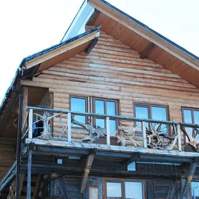
All stays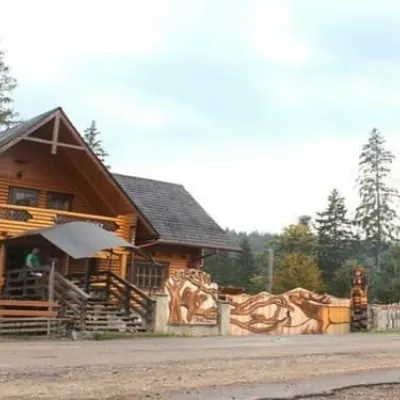 HotelBiia HoverlyVorokhta8.6 km from Mount HoverlaBBQParkingWi‑FiNearby: Mt Kukul 3.5 kmPolonyna Kukul 4.0 km5 trailsfrom 1 320 UAH per night
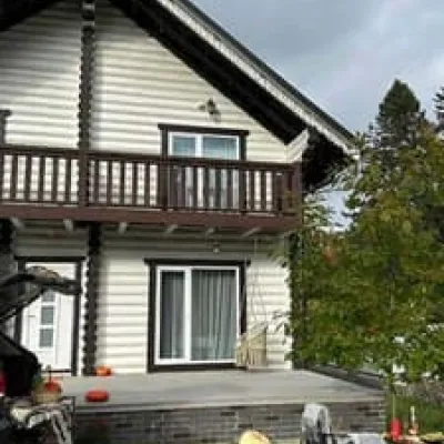
 HotelU KumaLazeshchyna12 km from Mount HoverlaBBQParkingWi‑FiNearby: Church of the Transfiguration 3.3 kmPolonyna Bukovyna 4.9 km37 trailsfrom 990 UAH per night
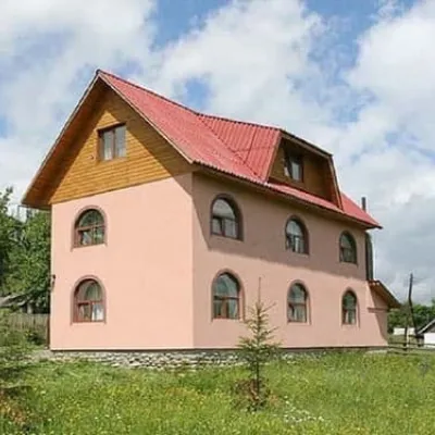
 HotelChalet GaliciaVorokhta12 km from Mount HoverlaBBQParkingWi‑FiNearby: Mt Kukul 6.1 kmPolonyna Kukul 6.3 km6 trailsfrom 8 500 UAH per night
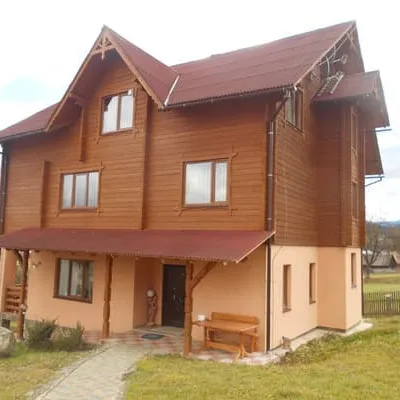
 CottageMiroslavaLazeshchyna12 km from Mount HoverlaSaunaBBQParkingNearby: Church of the Transfiguration 3.1 kmPolonyna Bukovyna 4.9 km32 trailsfrom 4 280 UAH per night
 HotelMyslyvska VezhaLazeshchyna13 km from Mount HoverlaSaunaBBQParkingNearby: Church of the Transfiguration 2.9 kmPolonyna Bukovyna 5.1 km39 trailsfrom 1 540 UAH per night
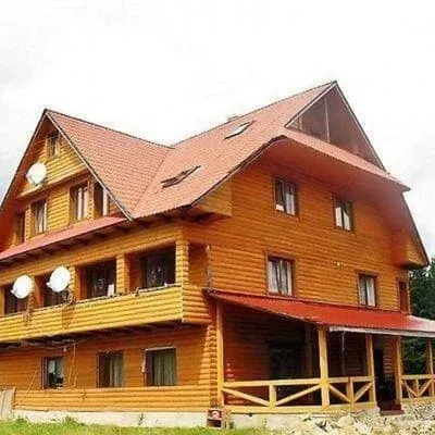 HotelPid HoverloiuVorokhta13 km from Mount HoverlaHot tubPoolBBQNearby: Polonyna Borsuchyna 4.4 kmMt Kukul 6.3 km3 trailsfrom 1 540 UAH per night
Trails via Mount Hoverla
All 109 ModerateTwo-dayMarkedZaroslyak base loopvia Mount Hoverla, Lake NesamovyteElevation profile1 242–2 061 m16.9 kmascent 1 095 m≈ 6.5 h walking
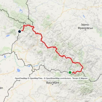 HardMulti-dayMarkedTranscarpathian Tourist TrailElevation profile202–2 061 m393.2 kmascent 17 790 m
 ModerateTwo-dayMarkedKozmeshchyk loopvia Mount HoverlaElevation profile868–2 061 m15.3 kmascent 1 201 m≈ 6 h walking
Nearby attractions
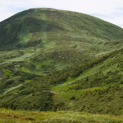 PeakMount BreskulBystretsaltitude 1 911 m · Chornohora range1.3 km from Mount Hoverla80 trails to the topBreskul (another name for the mountain is Bretskul), 1911 meters high, is a famous mountain peak in the Ukrainian Carpathians, located in the Chornohora mountain range...
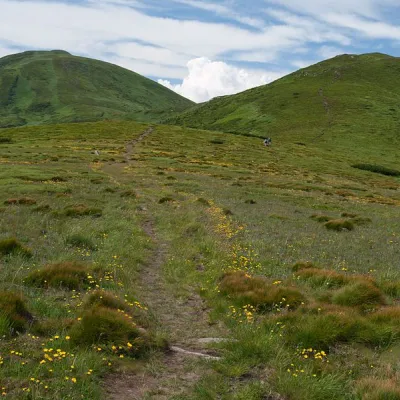 Mountain meadowPolonyna Pozhizhevska (Pozhizhevskaya)Nadvirna districtaltitude 1 500 m · Chornohora range2.7 km from Mount HoverlaPolonyna lies at an altitude of 1382-1822 meters. The Pozhyzhevska meadow lies at the foot of the mountain of the same name in the Montenegrin ridge.
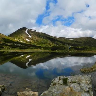 LakeHigh-mountainous Lake Nesamovite (1750 m.a.s.l., Chornohora ridge)Vorokhta5.1 km from Mount HoverlaNesamovyte is one of the highest lakes in the Ukrainian Carpathians (1750 m above sea level). It is located within the Nadvirna district of Ivano-Frankivsk region.
Craft nearby
All craft places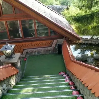 Koliby & Hutsul cuisineStara Vorokhta Restaurant, VorokhtaVorokhta15 km from Mount HoverlaStara Vorokhta restaurant ("Old Vorokhta") is one of the best-known places for Hutsul food in Vorokhta: on Google Maps it is rated 4.6 from more than 6,300 reviews, a...
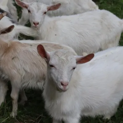 Eco farmsRozental Eco-Farm and Cheese Dairy, KvasyKvasy16 km from Mount HoverlaBeer and cider are brewed here, sheep's-milk ice cream is made, and in the Vaskul area above the village sits the Rozental eco-farm and cheese dairy.
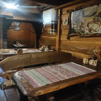 Koliby & Hutsul cuisineU Rizbaria Café, YasiniaYasinya16 km from Mount HoverlaU Rizbaria Café (“At the Woodcarver’s”) in Yasinia is a small Hutsul place serving home cooking that travellers usually find by word of mouth.
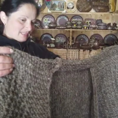 Markets & fairsSouvenir Market on the Yablunytsia Pass, YablunytsiaYablunytsia16 km from Mount HoverlaThe souvenir market on the Yablunytsia Pass is one of the best-known roadside bazaars in the Carpathians.
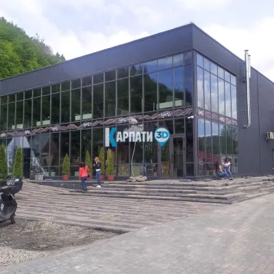 Craft beer & breweriesTsypa Brewery, KvasyKvasy16 km from Mount HoverlaThe Tsypa Hutsul craft brewery in Kvasy is probably the best-known brewery in the Ukrainian Carpathians.
 Markets & fairsSouvenir Bazaar by the Ski Jumps, VorokhtaVorokhta16 km from Mount HoverlaThe souvenir bazaar in Vorokhta is one of the busiest little trading spots in the mountain Hutsul region.
