Nežabec
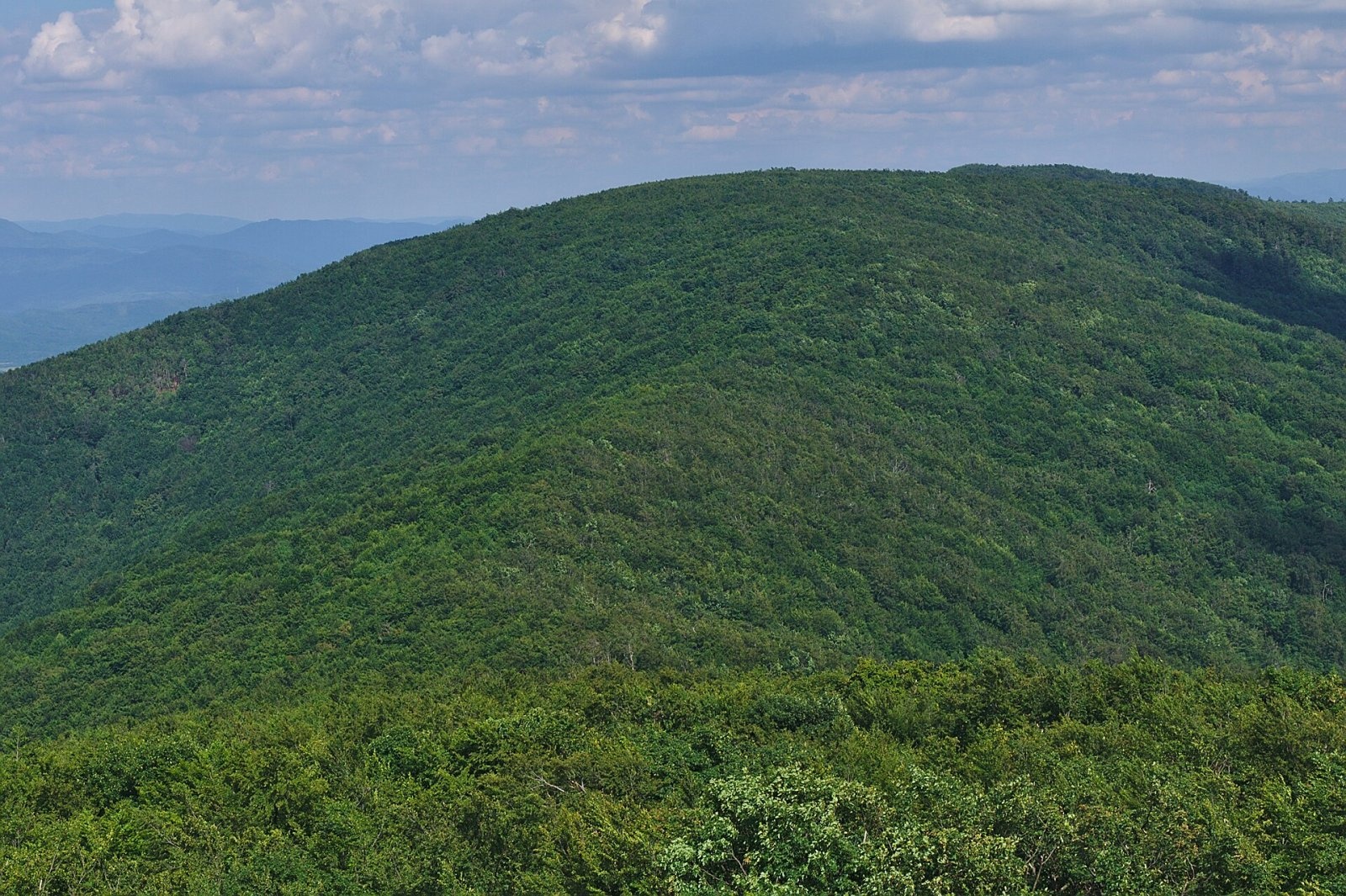
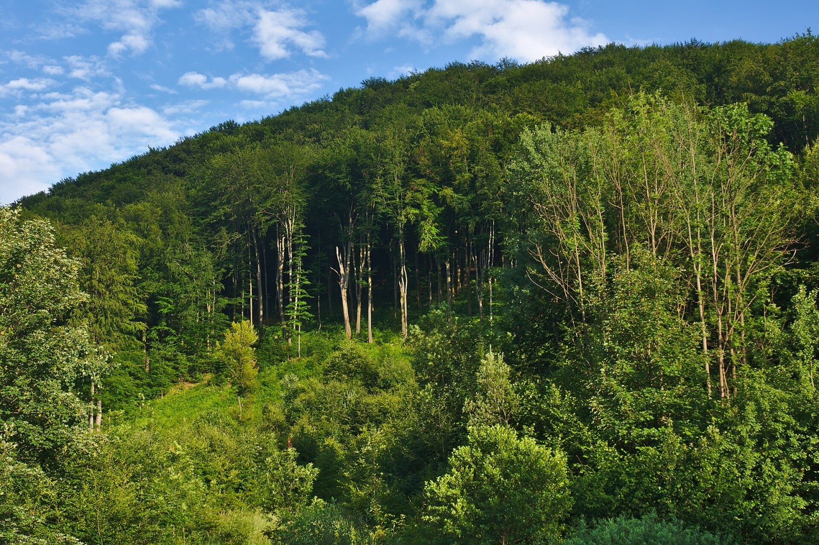
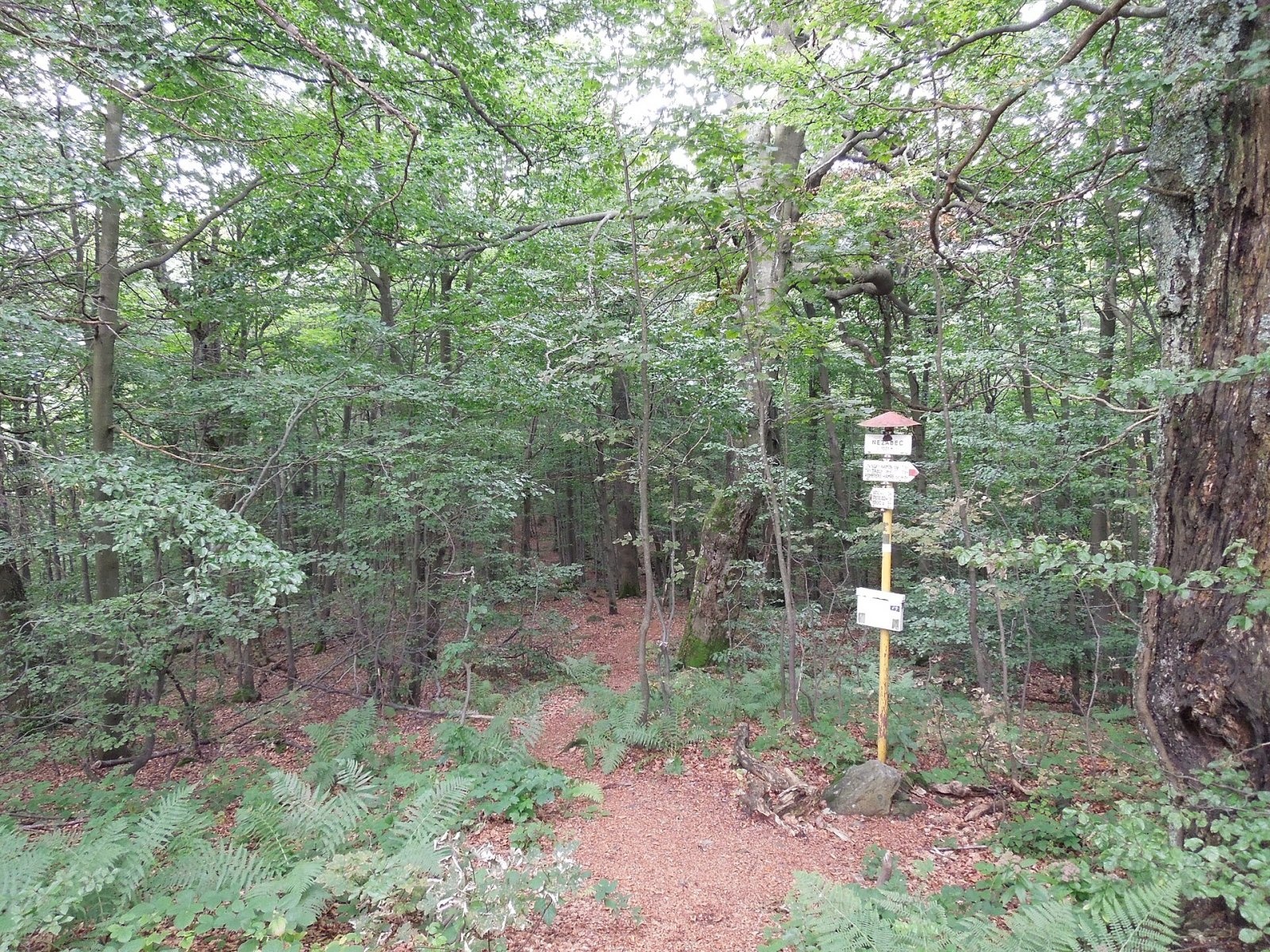
Nežabec is a 1023 m summit and the third highest peak of the volcanic Vihorlat Mountains in eastern Slovakia. It lies on the main ridge, in the north-eastern part of the remains of the caldera of a former stratovolcano, above the village of Strihovce. The boundary of the Prešov and Košice regions, and of Snina and Sobrance districts, runs over the summit. The nearest villages are Kolonica, Strihovce, Ladomirov and Zemplínske Hámre.
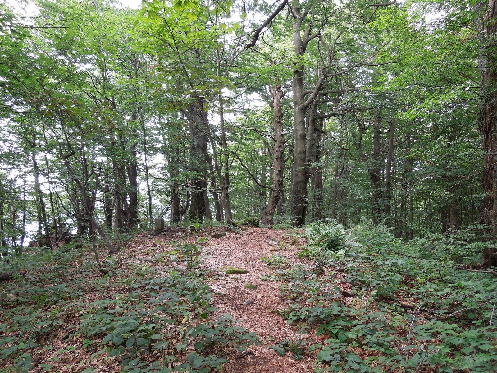
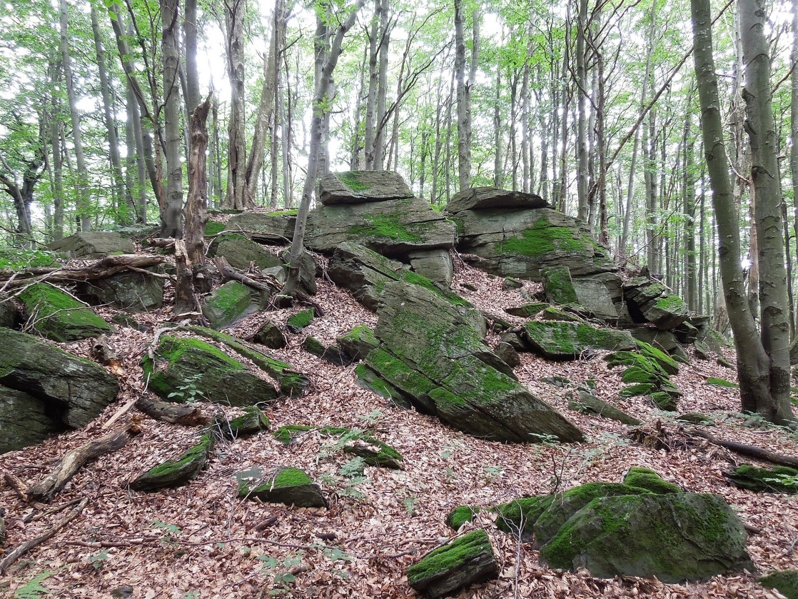
Nežabec's neighbours on the main ridge are Sninský kameň (1006 m) to the west – one of the best-known rocky summits of the Vihorlat – and Fedkov (978 m) to the south. There are several rock formations on the summit, and picturesque crags line the path between Sninský kameň and Nežabec. The whole mountain is covered by dense forest, so the summit itself has no views.
How to get there / routes
The main red ridge trail of the Vihorlat crosses Nežabec: from the village of Podhoroď via Strihovské sedlo (644 m), Nežabec, Sninský kameň, the Tri tably and Rozdiel saddles and Lysák to Remetské Hámre.
- The easiest way – from Strihovce: yellow trail to Strihovské sedlo, then red to the top – about 3 h up, 2 h 15 min down, 587 m of height difference.
- From Zemplínske Hámre via Sninský kameň – about 3 h 25 min up, 676 m of ascent.
- From Snina via Sninský kameň – about 4 h 50 min up, 807 m of ascent.
- From Ruská Bystrá via Pilníková lúka (812 m) – about 4 h 40 min up.
- From Podhoroď along the whole ridge – about 5 h 50 min up; from Remetské Hámre – about 5 h 15 min.
What you can see from the top
The summit itself offers no views – it is surrounded by continuous forest. The best panoramas on the route open from the neighbouring Sninský kameň, from where you can also see Nežabec and its wooded slopes. So it is worth planning the walk to take in both summits.
Nature and history
The Vihorlat is a volcanic range, and Nežabec lies on the rim of the former caldera. The summit belongs to the Vihorlat primeval forest (Vihorlatský prales), inscribed on the UNESCO World Natural Heritage list in 2007 in the Primeval Beech Forests of the Carpathians category because of its well-preserved beech forests with trees over 240 years old. Today the site is called Ancient and Primeval Beech Forests of the Carpathians and Other Regions of Europe. The summit is also part of the Morské oko site of European importance in the Natura 2000 network, and the whole area lies in the Vihorlat Protected Landscape Area (CHKO).
On the densely wooded top stands a hiking signpost with a box and a summit book; an older sign from 1990 also survives. Since 1986 the LOKO Humenné hiking club has held every May a multi-day traverse of the whole main Vihorlat ridge, "Poď na Podhoroď", which also passes here.
Safety, season and rules
The routes are long and wooded, with few landmarks, so plan your time and carry enough water. In the UNESCO primeval forest and the Natura 2000 site do not leave the marked path, do not damage trees and do not light fires. In the Slovak mountains help comes from the Mountain Rescue Service HZS: 18 300 (+421 18 300) or 112.
Interesting facts
- Nežabec is the third highest summit of the Vihorlat Mountains.
- The beech forests around the summit are part of a transnational UNESCO site that brings together ancient beech forests of many European countries.
Photos: Jiří Komárek, CC BY-SA 4.0; Jiří Komárek, CC BY-SA 4.0; Milan Bališin, CC BY-SA 4.0; Milan Bališin, CC BY-SA 4.0; Milan Bališin, CC BY-SA 4.0 — Wikimedia Commons.
Getting there from Ukraine
Border crossings
- Uzhhorod – Vyšné Nemecké — road, 24/7
- Malyi Bereznyi – Ubľa — road, 24/7 For cars and buses; pedestrians not confirmed by the Ukrainian border service, lorries up to 3.5 t.
- Mali Selmentsi – Veľké Slemence (pedestrian) — pedestrian, 09:00–21:00 Kyiv time Pedestrians and cyclists only; inconvenient for the Tatras without onward transport.
- Chop – Čierna nad Tisou (rail) — rail, 24/7
By car
Lviv – Snina ≈241 km, ≈4 h 20 min without queues: H-13 via Sambir and the Uzhok Pass to Velykyi and Malyi Bereznyi → Malyi Bereznyi – Ubľa checkpoint → road 74 to Snina (≈27 km, ≈30 min from the border). From Uzhhorod: via Vyšné Nemecké (I/19 towards Sobrance, then II/566 and road 74) ≈65 km, ≈1 h 15 min; via Malyi Bereznyi – Ubľa ≈80 km, ≈1 h 40 min, but that crossing is usually less busy.
Checked 23.10.2026; border crossing hours and timetables change — check before you travel.
Location on the map
Water and shelter nearby
- Morské oko Shelter2.5 km · Standing · 626 m
- Vartáš Hut2.7 km · Not verified · 947 m
- Spring below Fedkov (south-east slope), 945 m2.7 km · Not verified · 945 m
- Spring below Jedlinky2.9 km · Not verified · 636 m
- Spring below Sninský kameň (north slope), 935 m2.9 km · Not verified · 935 m
- Spring under Sninský Kameň2.9 km · Not verified · 947 m
Comments
Trails nearby
All trails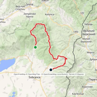 HardMulti-dayMarkedRemetské Hámre KoňušElevation profile272–1 023 m47.5 kmascent 2 062 munder 1 km from Nežabec
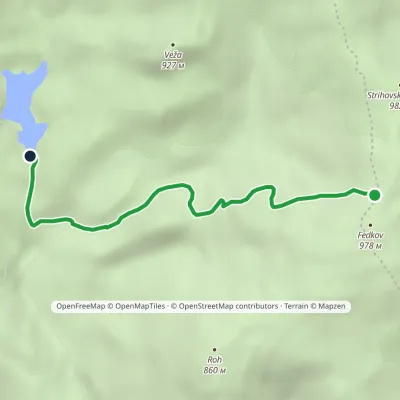 EasyOne-dayMarkedKrivec, Parking Strihovská MeadowElevation profile555–973 m4 kmascent 69 m≈ 1 h walking2 km from Nežabec
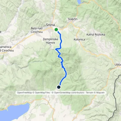 ModerateTwo-dayMarkedRemetské Hámre Snina, stationElevation profile224–1 006 m21.2 kmascent 781 m≈ 7 h walking2.7 km from Nežabec
Nearby attractions
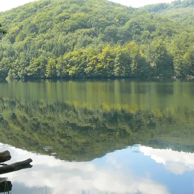 LakeMorské oko — the largest lake of the Vihorlat hillsZemplínske Hámre2.6 km from NežabecNot to be confused with its Tatra namesake: this is Morské oko in the Vihorlat hills of eastern Slovakia, a few dozen kilometres from the Ukrainian border.
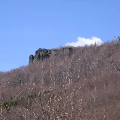 PeakSninský kameňValaškovcealtitude 1 006 m · Volcanic Carpathians range2.9 km from NežabecSninský kameň is a 1006 m summit in the volcanic Vihorlat Mountains of eastern Slovakia, the lowest of the five Vihorlat "thousanders".
Craft nearby
All craft places Water parks & thermal poolsThermalpark Šírava in Kaluža, Zemplínska ŠíravaKaluža22 km from NežabecThermalpark Šírava (Thermalpark ŠÍRAVA) stands in the village of Kaluža on the northern shore of the Zemplínska Šírava — a large reservoir in eastern Slovakia.
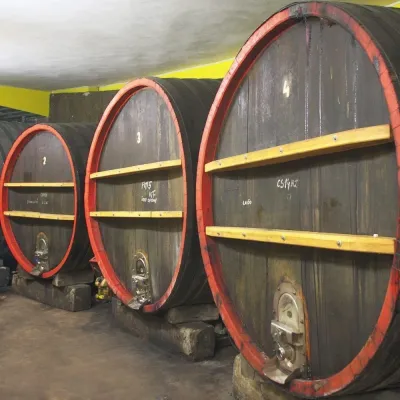 Wine & tastingsPivnica Orechová below Vihorlat: tastings in a deep wine cellarOrechová25 km from NežabecVihorlat is a volcanic range in eastern Slovakia, best known for the Morské oko lake and its beech primeval forests.
 Crafts & workshopsVeraikon Icon Studio, Cisna: Carpathian icons and workshopsCisna33 km from NežabecThe Veraikon Icon Studio (Pracownia Ikon Veraikon) in Cisna is, in its owners' words, the oldest and largest icon studio in the Bieszczady.
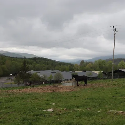 Horse ridingHucul Horse Stud in Wołosate, Bieszczady National ParkWołosate36 km from NežabecWołosate is the southernmost inhabited village in Poland, tucked away in the valley of the Wołosatka stream below Tarnica, the highest peak of the Polish Bieszczady.
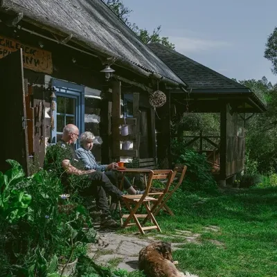 Craft producersBieszczadzkie Smaki, Smolnik: bread, liqueurs, preservesSmolnik37 km from NežabecBieszczadzkie Smaki (“Bieszczady Flavours”) is a family producer of natural foods in the village of Smolnik on the Osława river, Komańcza municipality, on the western...
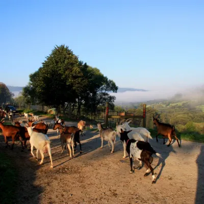 Cheese dairies & pasturesBieszczadzka Koza Goat Cheese Farm, SmolnikSmolnik46 km from NežabecBieszczadzka Koza ("the Bieszczady Goat") is a family goat farm and artisan cheese dairy in the village of Smolnik on the San, in the eastern Polish Bieszczady, right...
