Malá Ida
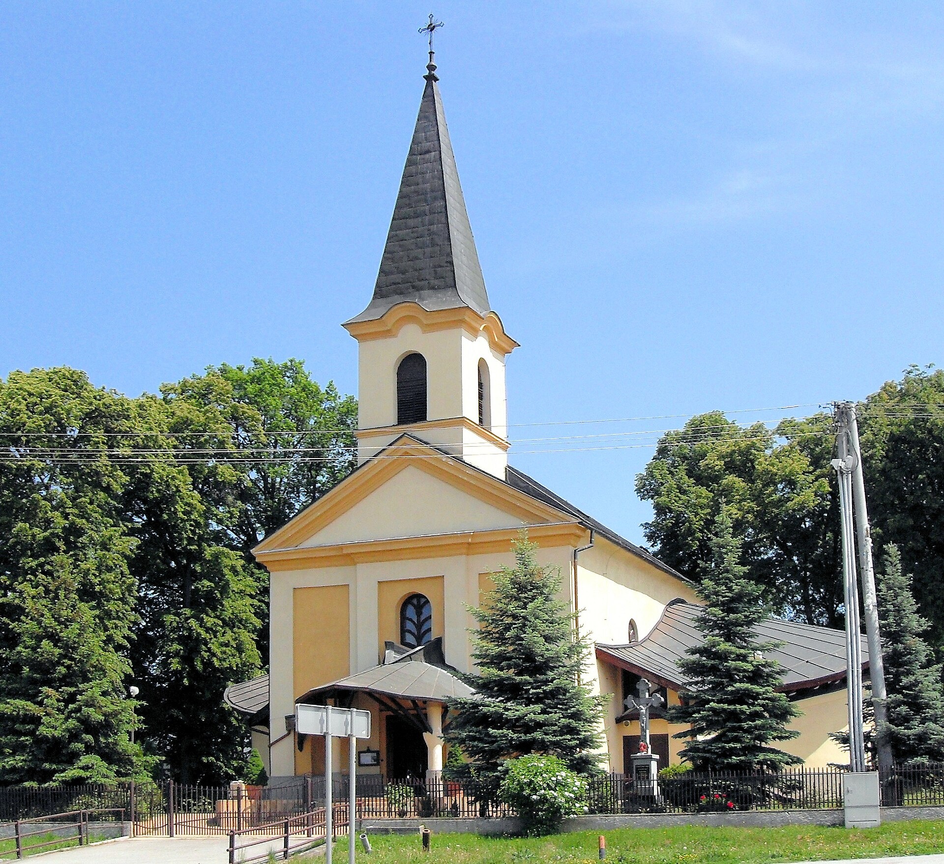
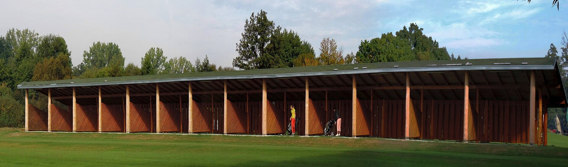
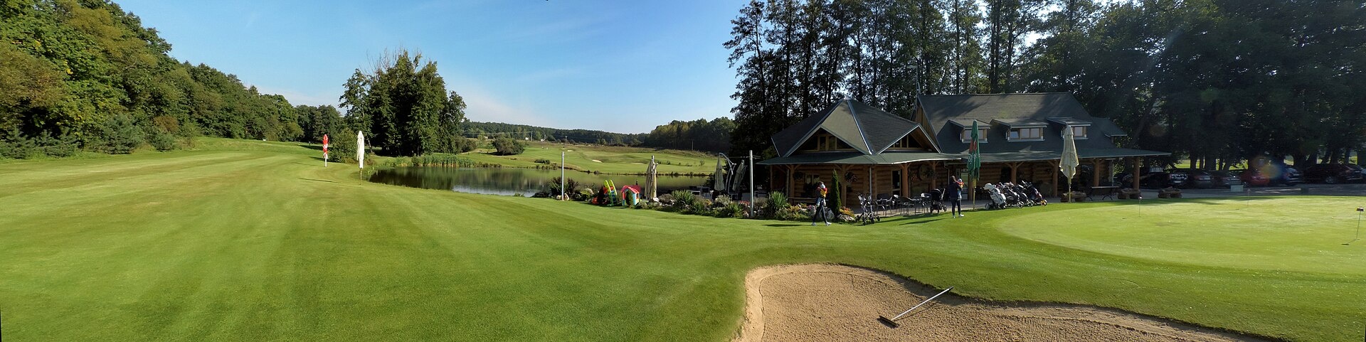
Photos: Rauenstein, CC BY-SA 3.0 (Wikimedia Commons); Jan Starec, CC BY-SA 3.0 (Wikimedia Commons); Jan Starec, CC BY-SA 3.0 (Wikimedia Commons)
Malá Ida is a village in Slovakia.
Elevation: about 292 m above sea level. Population: 2,053 (2025). Mountains nearby: Slovak Ore Mountains.
Here and nearby on the site: 1 craft place.
Facts: Wikidata, OpenStreetMap. More on Wikipedia
Trails nearby
All trails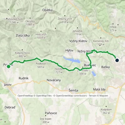 HardTwo-dayMarkedKošice, housing estate KVP PopročElevation profile328–727 m24.7 kmascent 654 m≈ 7.5 h walking3.9 km from the centre
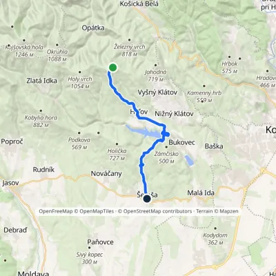 ModerateOne-dayMarkedŠemša Predné holisko, Lajoška hutElevation profile301–919 m15.2 kmascent 231 m≈ 4.5 h walking4 km from the centre
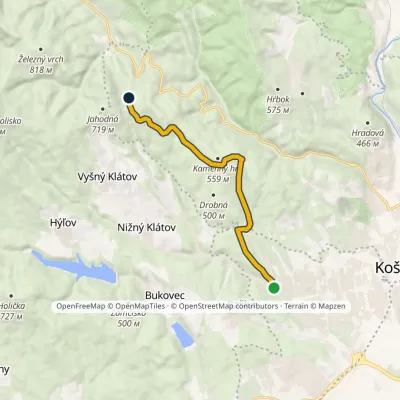 ModerateOne-dayMarkedHut on Jahodná Myslava, SchoolElevation profile264–602 m10 kmascent 449 m≈ 3.5 h walking4.7 km from the centre
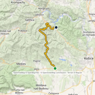 HardMulti-dayMarkedNováčany Ružín Reservoir, bridgeElevation profile325–1 019 m34.3 kmascent 1 267 m≈ 11 h walking7.3 km from the centre
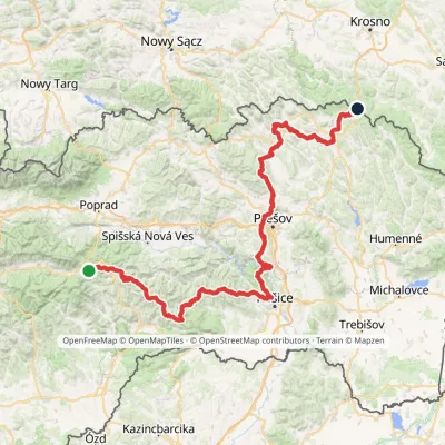 HardMulti-dayMarkedPred Čuntavou Dukliansky PassElevation profile227–1 293 m280.7 kmascent 8 346 m7.8 km from the centre
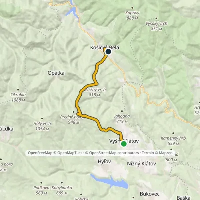 ModerateOne-dayMarkedKošická Belá Vyšný KlátovElevation profile369–896 m11.2 kmascent 453 m≈ 3.5 h walking8.2 km from the centre
Peaks nearby
All peaks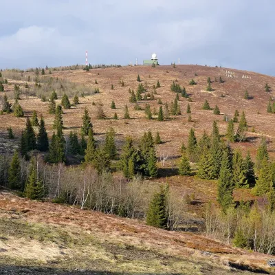 PeakKojšovská hoľaKojšovaltitude 1 246 m18 km from the centreKojšovská hoľa (colloquially Kojšovka; German Koischdorfer Höhe, Hungarian Kojsói-tető) is a 1,246 m mountain in the Volovské vrchy, part of the Slovak Ore Mountains...
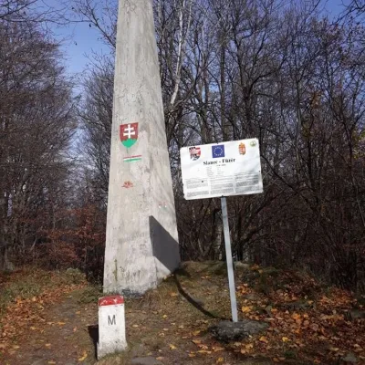 PeakVeľký Milič (Nagy-Milic)Skárošaltitude 895 m24 km from the centreVeľký Milič (Hungarian Nagy-Milic) is an 895 m summit right on the Slovak–Hungarian border, about 14 km south-east of Košice.
What to visit
All Craft beer & breweriesHerrenwald craft brewery, Malá Ida: tour with the brewerMalá Idaunder 1 km from the centreThe Herrenwald brewery stands in its Panský les ("Lords’ Wood") quarter, from whose German name it takes its own.
 Crafts & workshopsMacák Pottery on Košice’s Craft Lane: ceramics and coursesHrašovík8.5 km from the centreHrnčiarska Street in Košice old town is known as the "Craft Lane" (Ulička remesiel): craftspeople work in small houses below the walls of the former town fortifications.
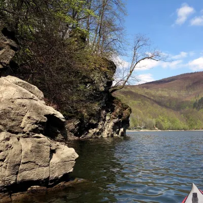 LakeRužín reservoir on the HornádMalá Lodina21 km from the centreRužín is a reservoir on the Hornád river in the deep, winding valley of the Čierna hora hills, the north-eastern part of the Slovak Ore Mountains, a dozen or so...
Craft nearby
All craft places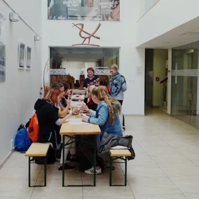 Crafts & workshopsÚĽUV Craft Centre Košice: craft workshops and folk-art shopBaška8.2 km from the centreÚĽUV (Ústredie ľudovej umeleckej výroby, the Centre for Folk Art Production) is a state institution that has looked after Slovak folk crafts since 1945: it keeps a...
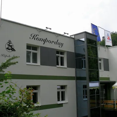 Water parks & thermal poolsŠtós spa: climatic cure, speleotherapy and poolŠtós28 km from the centreKúpele Štós is a climatic spa in south-eastern Slovakia, in the settlement of Štós-kúpele a few kilometres north of the mining village of Štós, where the Volovské...
Spas and thermal pools nearby
Huts, shelters and springs nearby
Getting there from Ukraine
Border crossings
- Uzhhorod – Vyšné Nemecké — road, 24/7
- Malyi Bereznyi – Ubľa — road, 24/7 For cars and buses; pedestrians not confirmed by the Ukrainian border service, lorries up to 3.5 t.
- Mali Selmentsi – Veľké Slemence (pedestrian) — pedestrian, 09:00–21:00 Kyiv time Pedestrians and cyclists only; inconvenient for the Tatras without onward transport.
- Chop – Čierna nad Tisou (rail) — rail, 24/7
By car
From Uzhhorod ≈182 km, ≈2 h 45 min without queues: Uzhhorod – Vyšné Nemecké → I/19 via Sobrance and Michalovce to Košice → D1 motorway via Prešov to the exit near Levoča → road 533 to Spišská Nová Ves (≈177 km, ≈2 h 30 min from the border). From Lviv via Uzhok and Ubľa ≈407 km, ≈6 h 40 min; through Poland (Kraków – Nowy Targ) ≈496 km, ≈6 h 20 min. The D1 requires an e-vignette (eznamka.sk).
Checked 23.10.2026; border crossing hours and timetables change — check before you travel.
