Kšinná
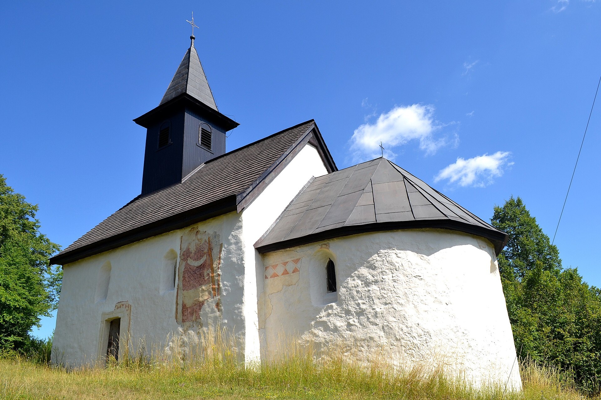
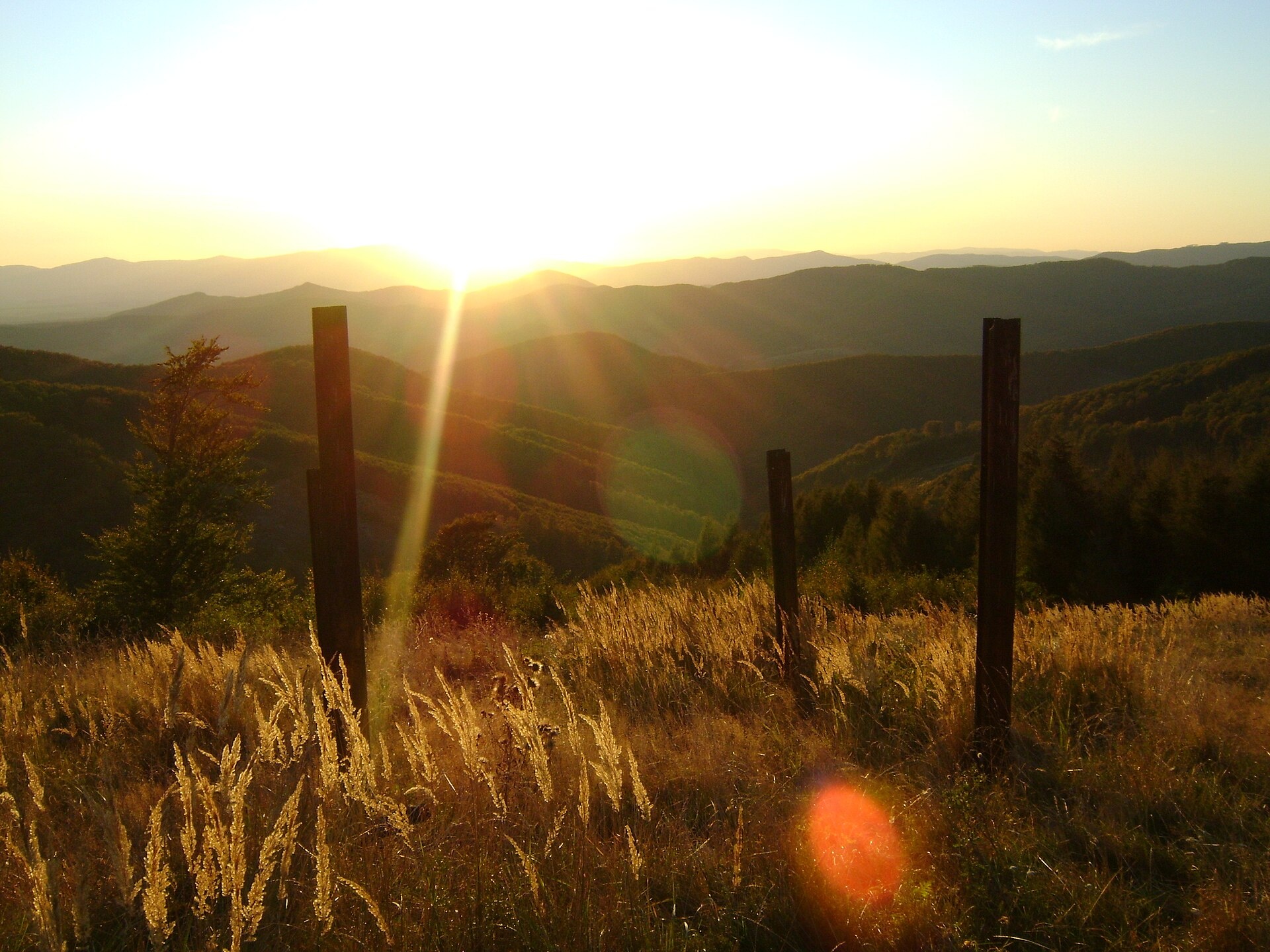
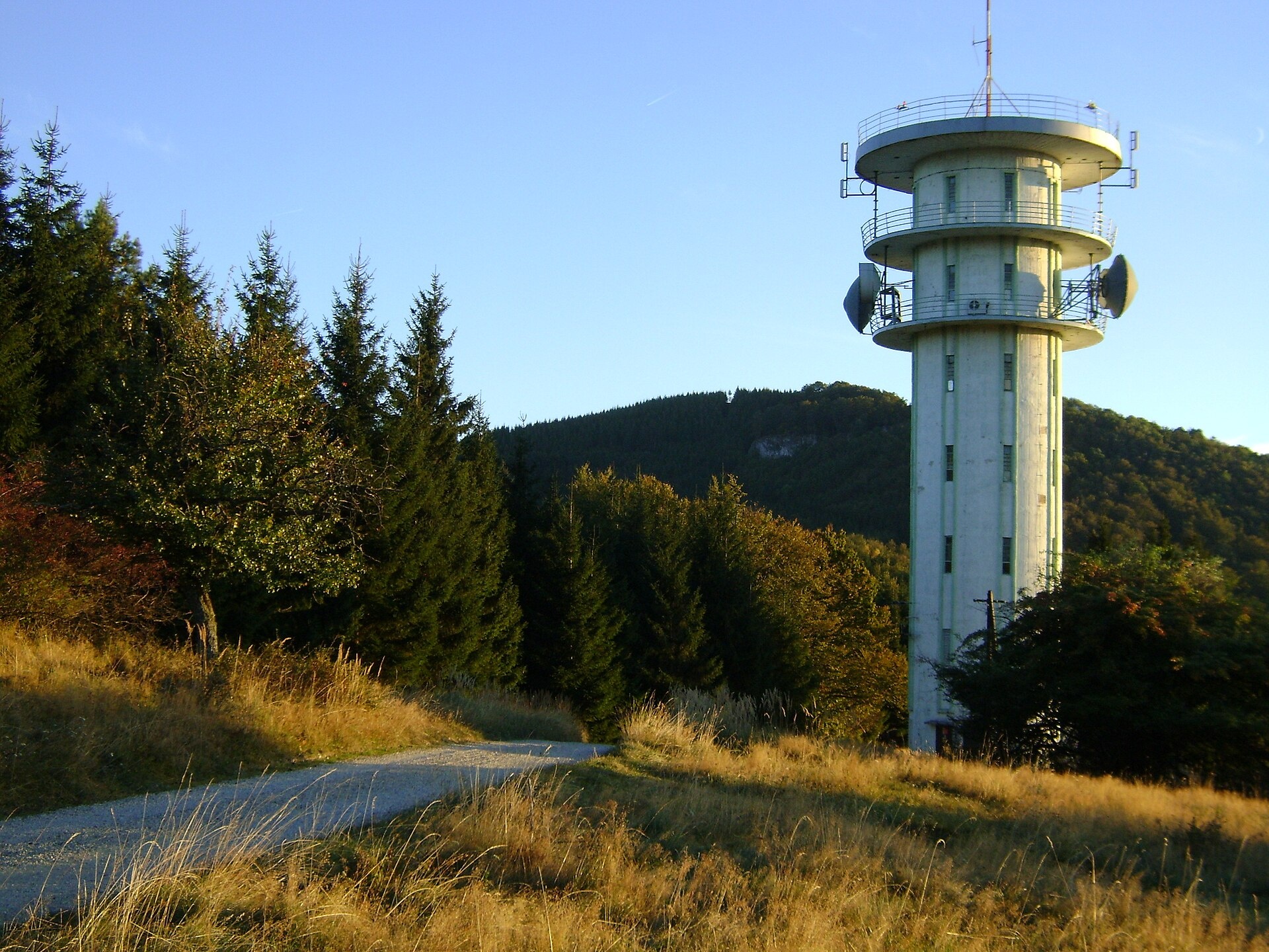
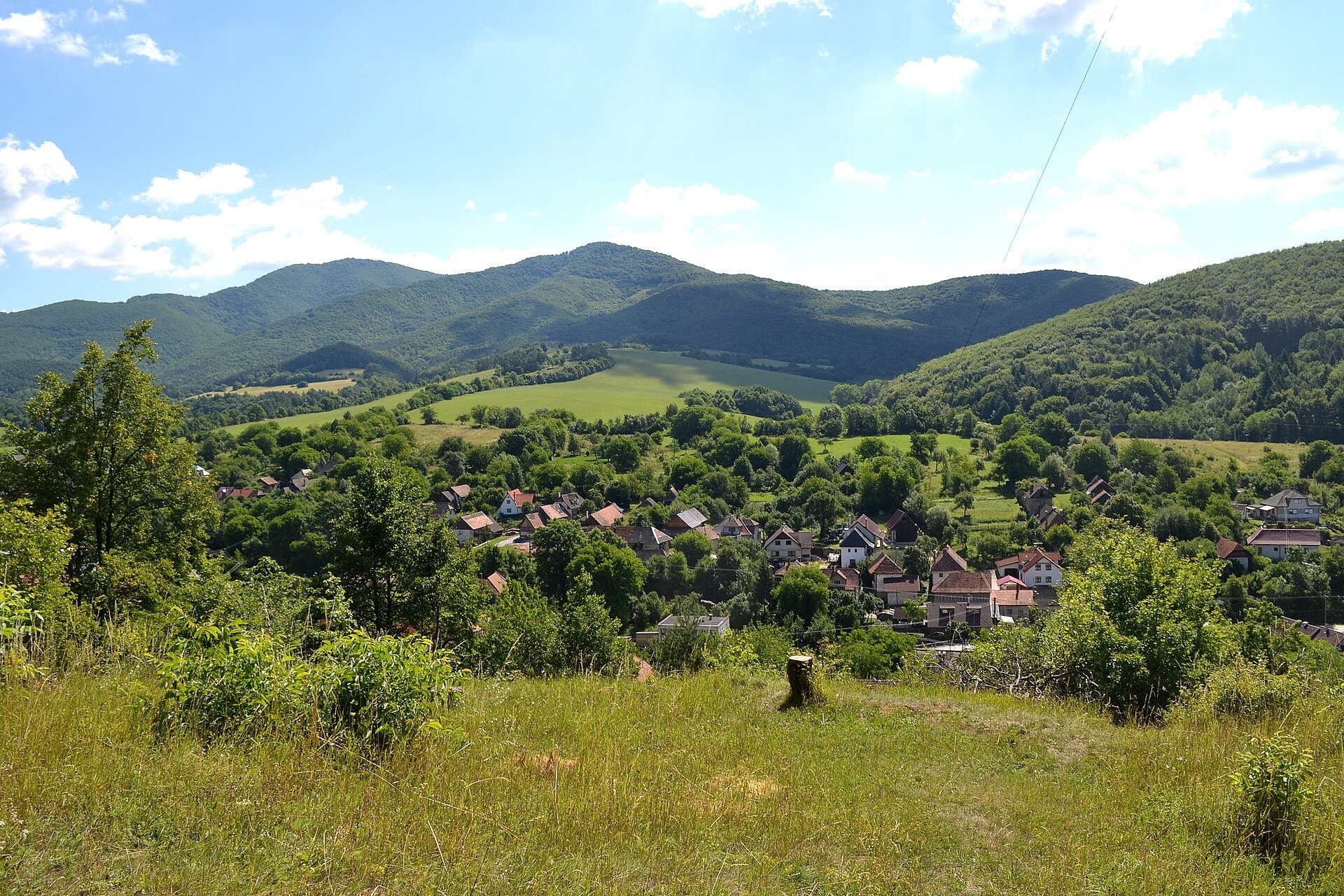
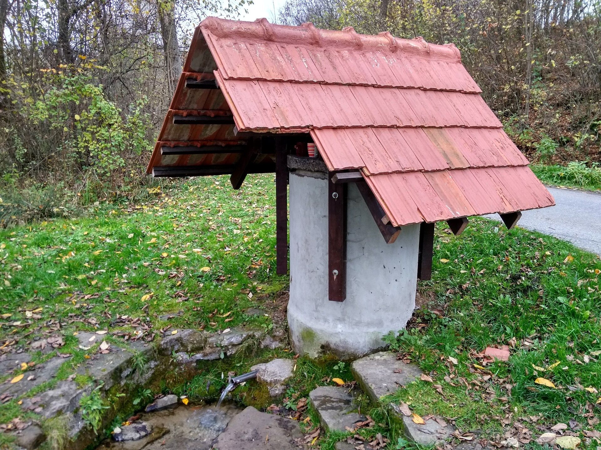
Photos: Ľuboš Repta, CC BY-SA 4.0 (Wikimedia Commons); dalibor135, CC BY-SA 3.0 (Wikimedia Commons); dalibor135, CC BY-SA 3.0 (Wikimedia Commons); Ľuboš Repta, CC BY-SA 4.0 (Wikimedia Commons); Lubosb, CC BY-SA 4.0 (Wikimedia Commons)
Kšinná is a village in the Bánovce nad Bebravou District of Slovakia's Trenčín Region, situated at around 350 metres above sea level in the southern part of the Strážov Mountains. The village lies in the valley of the upper Radiša stream, in a local basin known as the Kšinianska kotlina. To the west, the Čierny vrch peak (997 m) rises above the settlement in the Nitrické vrchy range. The Závada river also flows through Kšinná.
The area of Kšinná has been inhabited since prehistoric times. In the Late Neolithic, the Lengyel culture lived here, and traces of settlement and a large Lusatian culture cemetery have been found. The first written mention of the village dates to 1352. In the Middle Ages, Kšinná belonged to the feudal estate centred at Uhrovec Castle. A stone church, likely built by the Cseszneky family, existed here as early as the 13th century.
Kšinná is known for its picturesque natural surroundings, historical monuments, and traditions. Notable landmarks include the late Romanesque Church of Saints Cosmas and Damian, built between 1230 and 1250, and the classicist Evangelical church from 1814. The inhabitants were once engaged in cattle and sheep herding, fruit growing, and the production of wooden chests. Old residential buildings with fruit-drying lofts still remain, reflecting the village's heritage.
For visitors, Kšinná is an excellent starting point for hikes in the Strážov Mountains. Several marked trails begin or pass through here, such as "Kšinná – Nitrianske Rudno" and "Bánovce nad Bebravou, railway station – Kšinná". Nearby are the Homolka and Baske huts, convenient for overnight stays during longer treks. Nature lovers can explore the surrounding forests, valleys, and peaks, as well as visit the village's historic churches.
Getting there from Ukraine
From Uzhhorod to Žilina is about 330 km, roughly 4 h 20 min without queues: Uzhhorod – Vyšné Nemecké → I/19 to Košice → D1 via Prešov, Poprad, Liptovský Mikuláš and Ružomberok (about 17 km on I/18 between D1 sections) → Žilina. The D1 motorway requires an e-vignette (eznamka.sk).
Sources: Wikipedia, Wikidata, OpenStreetMap, Karpaty.rocks data. More on Wikipedia
Trails nearby
All trails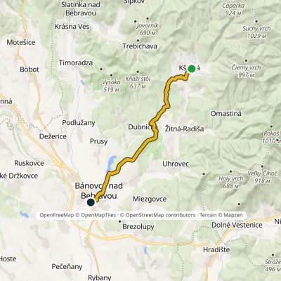 ModerateOne-dayMarkedBánovce nad Bebravou, Railway Station KšinnáElevation profile201–499 m15.8 kmascent 291 m≈ 4.5 h walkingunder 1 km from the centre
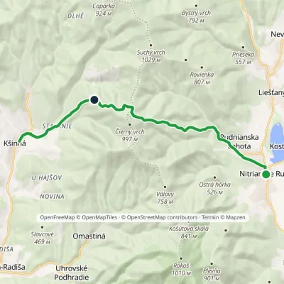 ModerateOne-dayMarkedKšinná Nitrianske RudnoElevation profile315–863 m11.7 kmascent 889 m≈ 4.5 h walkingunder 1 km from the centre
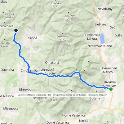 HardTwo-dayMarkedDiviacka Nová Ves VozoreElevation profile265–964 m21.3 kmascent 1 033 m≈ 7.5 h walking1.8 km from the centre
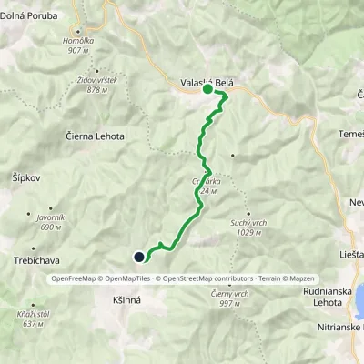 ModerateOne-dayMarkedValaská Belá Závada pod Čiernym vrchomElevation profile365–917 m11.1 kmascent 475 m≈ 3.5 h walking1.9 km from the centre
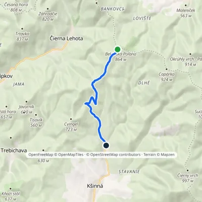 EasyOne-dayMarkedZávada pod Čiernym vrchom DemovecElevation profile367–851 m6.2 km≈ 1.5 h walking2 km from the centre
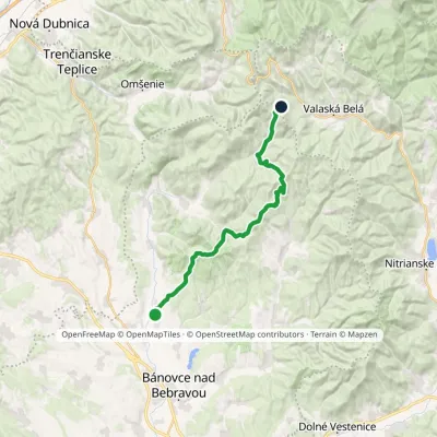 HardTwo-dayMarkedPodlužany Rychtárske zienkyElevation profile218–749 m22.9 kmascent 1 212 m≈ 8 h walking2.5 km from the centre
Peaks nearby
All peaks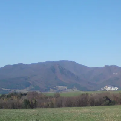 PeakRokošNitrianske Rudnoaltitude 1 010 m7.3 km from the centreRokoš is a 1010 m mountain, the second-highest peak of the Nitrické vrchy, part of the Strážov Mountains (Strážovské vrchy) in western Slovakia.
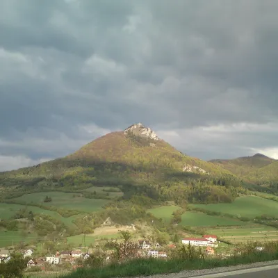 PeakVápečKošecké Podhradiealtitude 955 m15 km from the centreVápeč is a 955 m summit in the Strážov Mountains (Strážovské vrchy) in western Slovakia. It rises above the village of Horná Poruba, about 9 km south-east of Ilava,...
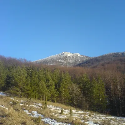 PeakStrážovZliechovaltitude 1 213 m18 km from the centreStrážov (Hungarian Sztrázsó) is the highest summit of the Strážov Mountains, 1213.3 m high (local signs often say 1215 m).
What to visit
All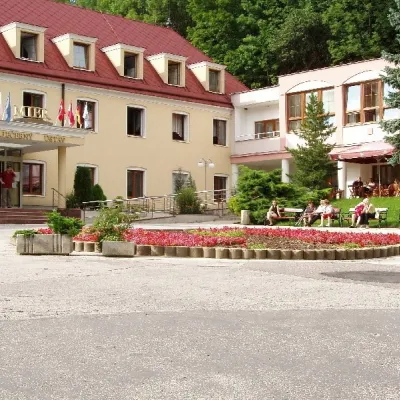 Water parks & thermal poolsBojnice Spa: thermal springs, pools and treatmentsBojnice17 km from the centreBojnice Spa (Kúpele Bojnice) lies on the edge of the town of Bojnice, about 3 km from Prievidza, in the Upper Nitra basin – at the eastern foot of the Malá Magura...
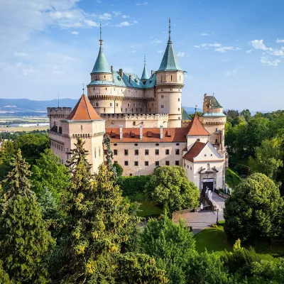 MuseumBojnice Castle — Slovak National MuseumBojnice17 km from the centreBojnice Castle (Bojnický zámok) rises on a travertine mound above the spa town of Bojnice near Prievidza, in the upper Nitra valley.
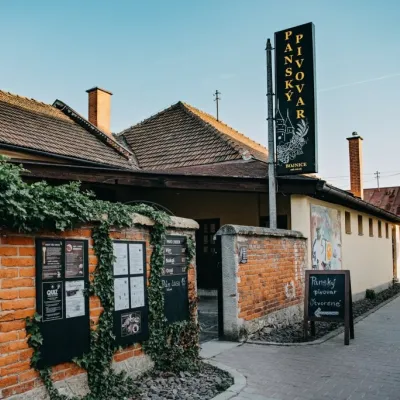 Craft beer & breweriesPanský pivovar Bojnice: unfiltered craft beer below the castleBojnice17 km from the centreBojnice is a spa town in the upper Nitra valley at the foot of the Strážov Hills, famous for the fairy-tale castle of the Pálffy family.
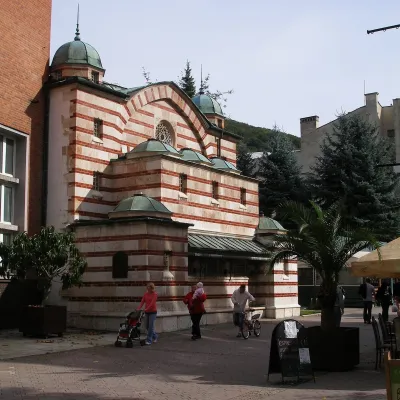 Water parks & thermal poolsTrenčianske Teplice: the Hammam and sulphur thermal bathsTrenčianske Teplice17 km from the centreTrenčianske Teplice is one of Slovakia's oldest spas, squeezed into a narrow wooded valley of the Strážov Mountains not far from Trenčín.
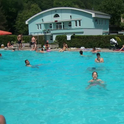 Water parks & thermal poolsChalmová Thermal Pool near PrievidzaBystričany18 km from the centreChalmová Thermal Pool (Termálne kúpalisko Chalmová) is a public pool complex in the village of Chalmová, part of the municipality of Bystričany, about 14 km south of...
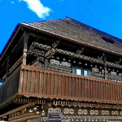 MuseumRaden's House in Čičmany — Museum of the Painted Log HousesČičmany21 km from the centreČičmany is a mountain village in a basin of the Strážov Hills, close to the source of the Rajčanka river, and the highest-lying village in Žilina District.
Craft nearby
All craft places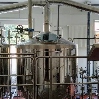 Craft beer & breweriesGalgenberg brewery in Nitrianske Pravno: tour and beer from the tankNitrianske Pravno22 km from the centreNitrianske Pravno is a large village at the northern end of the Upper Nitra basin, 12 km from Prievidza, where the river Nitra leaves the Malá Magura and Žiar hills.
 Cheese dairies & pasturesSalaš Pružina: 100% sheep’s bryndza in the Strážov HillsPružina25 km from the centrePružina is a village in a picturesque valley of the Strážov Hills (Strážovské vrchy) west of Považská Bystrica.
Spas and thermal pools nearby
Water parks & thermal poolsBojnice Spa: thermal springs, pools and treatmentsBojnice17 km from the centreBojnice Spa (Kúpele Bojnice) lies on the edge of the town of Bojnice, about 3 km from Prievidza, in the Upper Nitra basin – at the eastern foot of the Malá Magura...Water parks & thermal poolsTrenčianske Teplice: the Hammam and sulphur thermal bathsTrenčianske Teplice17 km from the centreTrenčianske Teplice is one of Slovakia's oldest spas, squeezed into a narrow wooded valley of the Strážov Mountains not far from Trenčín.Water parks & thermal poolsChalmová Thermal Pool near PrievidzaBystričany18 km from the centreChalmová Thermal Pool (Termálne kúpalisko Chalmová) is a public pool complex in the village of Chalmová, part of the municipality of Bystričany, about 14 km south of...Huts, shelters and springs nearby
Getting there from Ukraine
Border crossings
- Uzhhorod – Vyšné Nemecké — road, 24/7
- Malyi Bereznyi – Ubľa — road, 24/7 For cars and buses; pedestrians not confirmed by the Ukrainian border service, lorries up to 3.5 t.
- Mali Selmentsi – Veľké Slemence (pedestrian) — pedestrian, 09:00–21:00 Kyiv time Pedestrians and cyclists only; inconvenient for the Tatras without onward transport.
- Chop – Čierna nad Tisou (rail) — rail, 24/7
By car
From Uzhhorod to Žilina ≈330 km, ≈4 h 20 min without queues: Uzhhorod – Vyšné Nemecké → I/19 to Košice → D1 via Prešov, Poprad, Liptovský Mikuláš and Ružomberok (≈17 km on I/18 between D1 sections) → Žilina. To Terchová ≈314 km, ≈4 h 15 min: from the D1 onto I/70 and II/583. From Lviv through Poland: M-10 → Krakovets – Korczowa → A4 to Kraków → S7/DK7 to Chyżne – Trstená → R3, I/59 to Dolný Kubín → II/583 via Terchová to Žilina: to Terchová ≈493 km (≈6 h 30 min), to Žilina ≈518 km (≈7 h). Via the tolled A4 Kraków – Katowice, S1 and D3: ≈533 km, ≈6 h 35 min. The D1 requires an e-vignette (eznamka.sk).
Checked 23.10.2026; border crossing hours and timetables change — check before you travel.
