Krynica-Zdrój – Krynica-Zdrój
Trail map
Route, springs and shelters: © OpenStreetMap contributors (ODbL) · elevation: Copernicus DEM © DLR e.V., © Airbus DS · Data & licences
About the trail
Route Krynica-Zdrój – Krynica-Zdrój. Has yellow marking (regional route, PTTK). Waymarking data: OpenStreetMap (© OpenStreetMap contributors, ODbL).
Officially marked regional tourist route. Marking is yellow, sign — horizontal stripe on a white background. Marked and maintained by: PTTK. Length of the route — 18.4 km, the route is circular. Location: mountain range — Sondetski Beskid, Poland.
At a glance
A one-day loop route of 18.4 km with 689 m of ascent, starting and finishing at Krynica-Zdrój. Estimated walking time: about 6 h, not counting stops. Difficulty: moderate. Waymarking: yellow.
Route stages
- 0–2 kmClimb of 140 m to Huzary (864 m)
- 2–3 kmDescent of 110 m (down to 752 m)
- 3–11 kmGentle ups and downs at 740–900 m, past Jaworzynka, Drabiakówka
- 11–16 kmDescent of 320 m to Nikifor Museum in Krynica-Zdrój
- 16–18 kmClimb of 140 m to Góra Parkowa (742 m)
Steepest kilometre: km 15–16, a descent of 170 m (≈17%), near Nikifor Museum in Krynica-Zdrój.
Water and overnight stays
Springs near the trail: at km 16, 17 and 18. There are no springs between km 0 and 16 — carry at least 2.5 l of water.
When to go
The route can be walked most of the year; it is most comfortable from April to October.
Getting there
Start: Krynica-Zdrój. This is a loop: it brings you back to the start.
FAQ
- How long does the route take?
- Estimated walking time: about 6 h, not counting stops.
- Is there water on the route?
- Springs near the trail: at km 16, 17 and 18. There are no springs between km 0 and 16 — carry at least 2.5 l of water.
Water and shelter on the route
- Uzdrowiskowe wody lecznicze Tapkm 15.8 from the start · 220 m off the path · Not verified · 577 m
- Bocianówka Springkm 17.2 from the start · 100 m off the path · Has water · 648 m
- Drinking water below Góra Parkowa (south-east slope)km 18.4 from the start · 80 m off the path · Not verified · 708 m
Comments
Trails nearby
All trails HardMulti-dayMarkedMain Trail of BeskidyElevation profile309–1 723 m499.9 kmascent 19 519 m
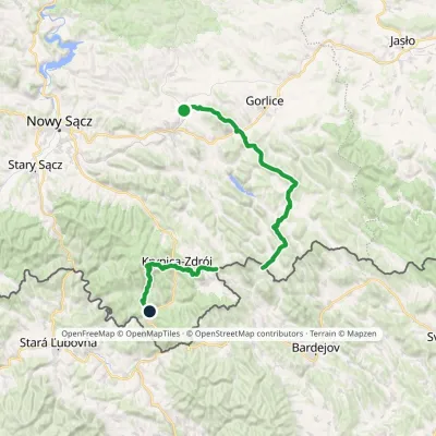 HardMulti-dayMarkedTrail of Wincenty PolElevation profile310–1 106 m73.5 kmascent 3 162 m
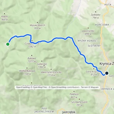 EasyOne-dayMarkedBacówka PTTK pod Wierchomlą Krynica-ZdrójElevation profile571–1 080 m11.1 kmascent 238 m≈ 3.5 h walking
Craft nearby
All craft places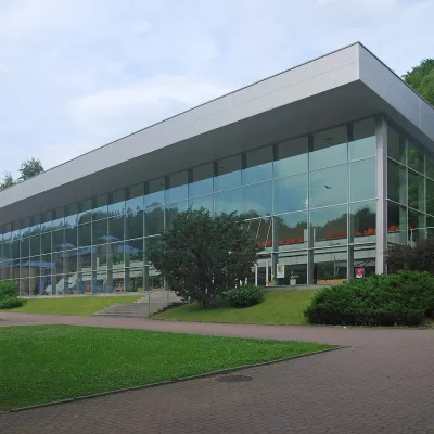 Water parks & thermal poolsKrynica-Zdrój pump rooms: tasting the mineral waters1.4 km from the trailKrynica-Zdrój grew up around its mineral springs, and the best way to feel the spa is to walk round its pump rooms and taste the local waters.
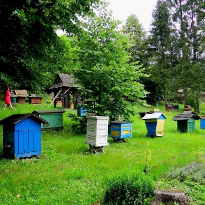 Honey & meaderiesBarć Apiary in Kamianna, the Beekeepers' Village13 km from the trailThe Barć ("Bee Tree") apiary in the Lemko village of Kamianna, between Krynica-Zdrój and Nowy Sącz, is one of Poland's best-known beekeeping places, and Kamianna is...
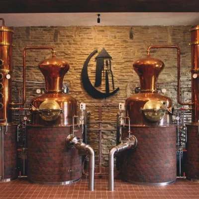 Craft producersCastle Distillery below Ľubovňa Castle: fruit spirits and tastings23 km from the trailStará Ľubovňa is a town in northern Spiš, overlooked by Ľubovňa Castle. For more than three and a half centuries Ľubovňa was one of the Spiš towns pledged to the...
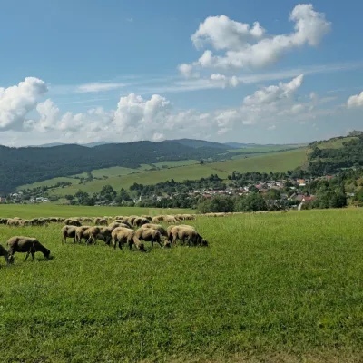 Cheese dairies & pasturesFarma Kamenica — Family Sheep Farm and Cheese Dairy in Šariš23 km from the trailKamenica is a village in northern Šariš, in the valley of the Kameničanka stream, at about 483 m above sea level.
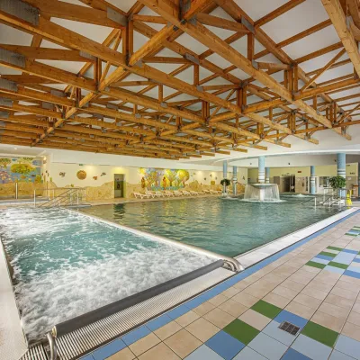 Water parks & thermal poolsBardejovské Kúpele: Wellness Spa Ozón and summer pool23 km from the trailBardejovské Kúpele is one of Slovakia’s oldest spas, a part of the town of Bardejov about 5 km from its centre, in a valley under the Magura massif that shelters it...
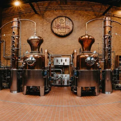 Craft producersSpišská Pálenica, Stará Ľubovňa: distillery tour and Spiš borovička24 km from the trailSpiš boasts perhaps the oldest history of distilling in Europe: at the hillfort of Myšia Hôrka near Spišský Štvrtok, part of a distillation vessel from around 1500 BC...
