Jablonica
Jablonica is a village in Slovakia.
Elevation: about 209 m above sea level. Population: 2,215 (2025).
Here and nearby on the site: 1 trail.
Facts: Wikidata, OpenStreetMap. More on Wikipedia
Comments
Travellers’ experience: reports, tips, questions.
No one has written here yet. Be the first — your experience helps others.
What's nearby
Trails nearby
All trails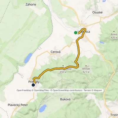 ModerateOne-dayMarkedJablonica station PrievalyElevation profile205–470 m11.9 kmascent 291 m≈ 3.5 h walkingunder 1 km from the centre
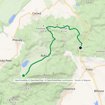 ModerateOne-dayMarkedBrezinky, hut Buková, stopElevation profile243–424 m15.2 kmascent 276 m≈ 4.5 h walking3.5 km from the centre
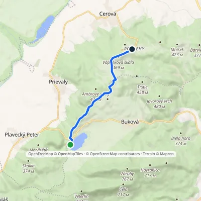 EasyOne-dayMarkedRozbehy Buková Reservoir, damElevation profile288–469 m6.4 kmascent 243 m≈ 2 h walking4.1 km from the centre
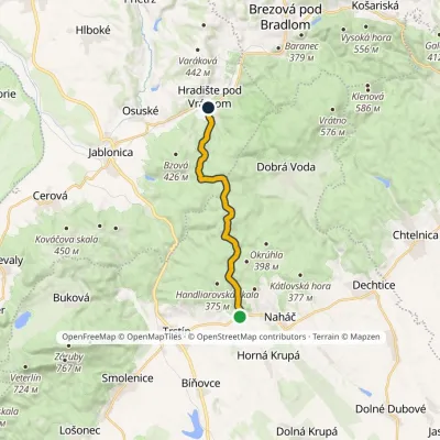 ModerateOne-dayMarkedPrekážka Hradište pod VrátnomElevation profile230–454 m13.4 kmascent 260 m≈ 4 h walking4.3 km from the centre
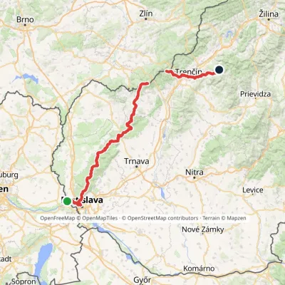 HardMulti-dayMarkedHrad Devín, parking Horná Poruba, U BrdárovElevation profile146–965 m190.1 kmascent 7 200 m5.1 km from the centre
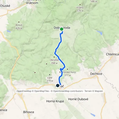 EasyOne-dayMarkedNaháč Dobrá VodaElevation profile242–406 m9.4 kmascent 232 m≈ 2.5 h walking8.5 km from the centre
Peaks nearby
All peaks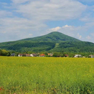 PeakHavranicaBukováaltitude 717 m9.1 km from the centreHavranica is a 717 m summit in the Little Carpathians (Malé Karpaty) in western Slovakia. It rises above the village of Smolenice, about 18 km north-west of Trnava.
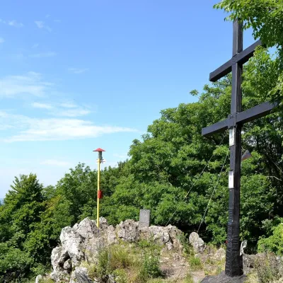 PeakZárubyBukováaltitude 767 m9.4 km from the centre1 trail to the topZáruby (formerly also Ostrý vrch, German Scharfenstein) is the highest peak of the Little Carpathians at 767 m (some signposts say 768 m).
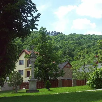 PeakMolpírSmolenicealtitude 354 m11 km from the centreMolpír is a low, wooded 354 m hill in the Little Carpathians (Malé Karpaty), right above the village of Smolenice in the Trnava Region of Slovakia.
What to visit
All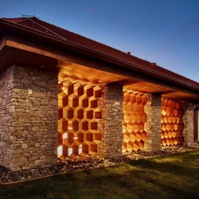 Honey & meaderiesVčelovina meadery, Smolenice: mead and honey beerSmolenice11 km from the centreThis is where the Včelovina meadery works — “a small production with a big heart”, as its founders put it.
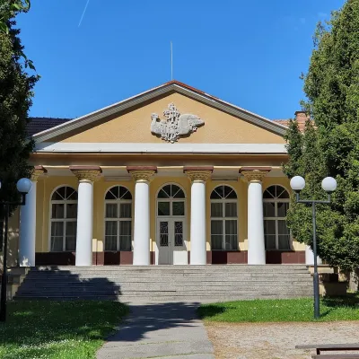 Water parks & thermal poolsSmrdáky: a hydrogen-sulphide spa for skin diseasesSmrdáky15 km from the centreSmrdáky is a small spa village in western Slovakia, on the edge of the Záhorie Lowland and the foothills of the White Carpathians, about 7 km from Senica and 80 km...
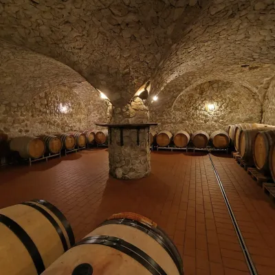 Wine & tastingsMagula Winery, Suchá nad Parnou: biodynamic wines and a farmSuchá nad Parnou21 km from the centreSuchá nad Parnou is a wine village on the south-eastern slopes of the Little Carpathians, near Trnava.
Spas and thermal pools nearby
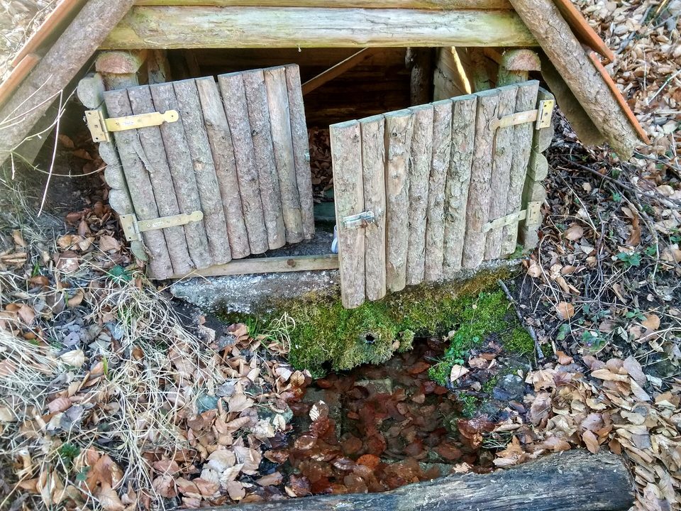
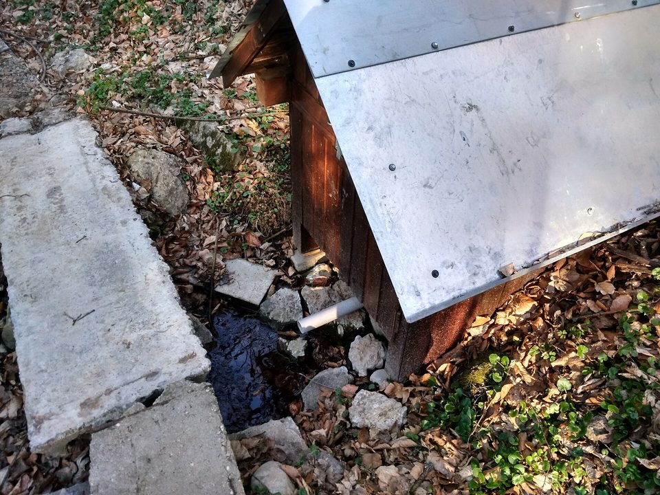
Huts, shelters and springs nearby
Getting there from Ukraine
Border crossings
- Uzhhorod – Vyšné Nemecké — road, 24/7
- Malyi Bereznyi – Ubľa — road, 24/7 For cars and buses; pedestrians not confirmed by the Ukrainian border service, lorries up to 3.5 t.
- Mali Selmentsi – Veľké Slemence (pedestrian) — pedestrian, 09:00–21:00 Kyiv time Pedestrians and cyclists only; inconvenient for the Tatras without onward transport.
- Chop – Čierna nad Tisou (rail) — rail, 24/7
By car
From Uzhhorod to Žilina ≈330 km, ≈4 h 20 min without queues: Uzhhorod – Vyšné Nemecké → I/19 to Košice → D1 via Prešov, Poprad, Liptovský Mikuláš and Ružomberok (≈17 km on I/18 between D1 sections) → Žilina. To Terchová ≈314 km, ≈4 h 15 min: from the D1 onto I/70 and II/583. From Lviv through Poland: M-10 → Krakovets – Korczowa → A4 to Kraków → S7/DK7 to Chyżne – Trstená → R3, I/59 to Dolný Kubín → II/583 via Terchová to Žilina: to Terchová ≈493 km (≈6 h 30 min), to Žilina ≈518 km (≈7 h). Via the tolled A4 Kraków – Katowice, S1 and D3: ≈533 km, ≈6 h 35 min. The D1 requires an e-vignette (eznamka.sk).
Checked 23.10.2026; border crossing hours and timetables change — check before you travel.
