Háj
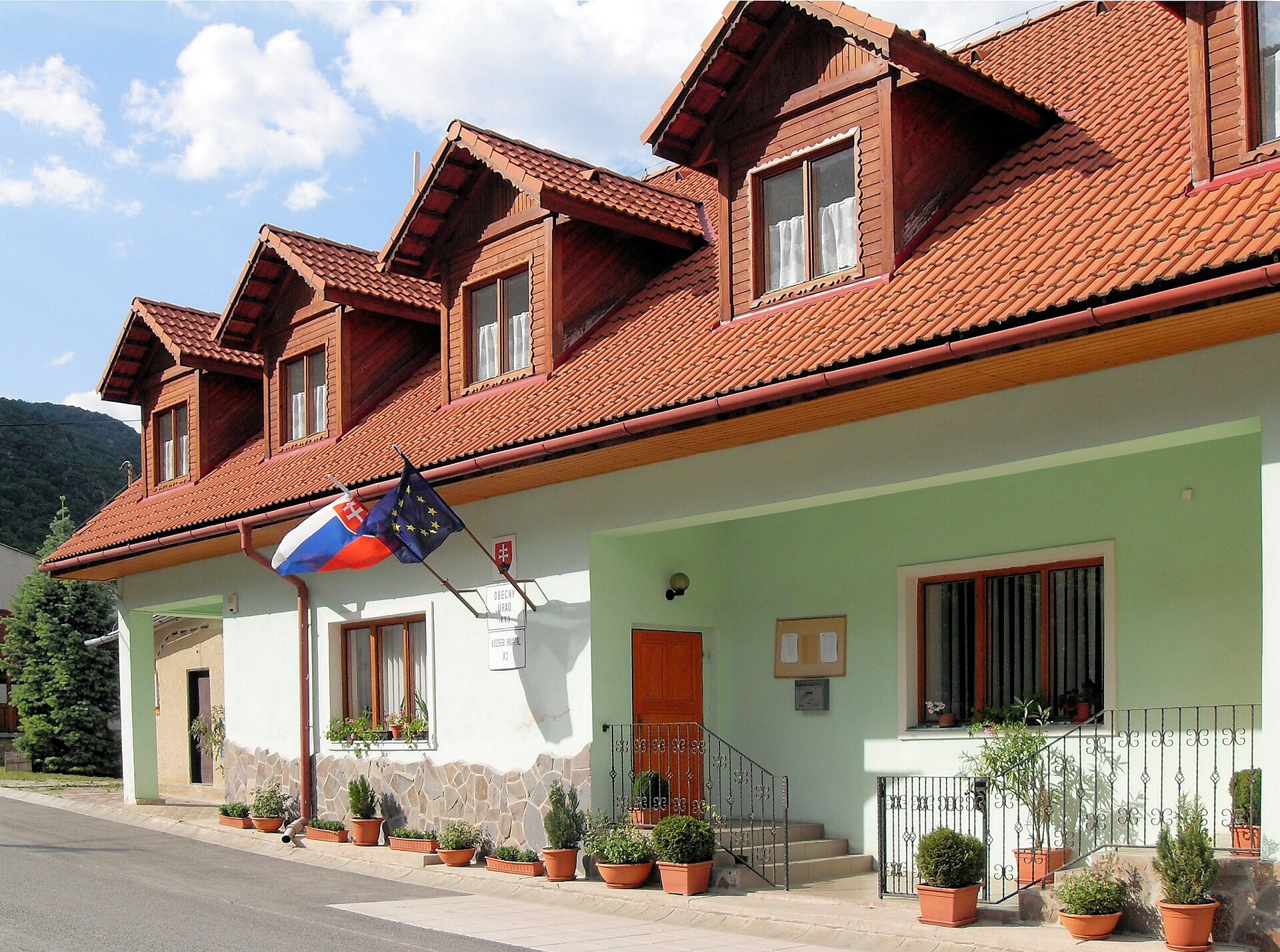
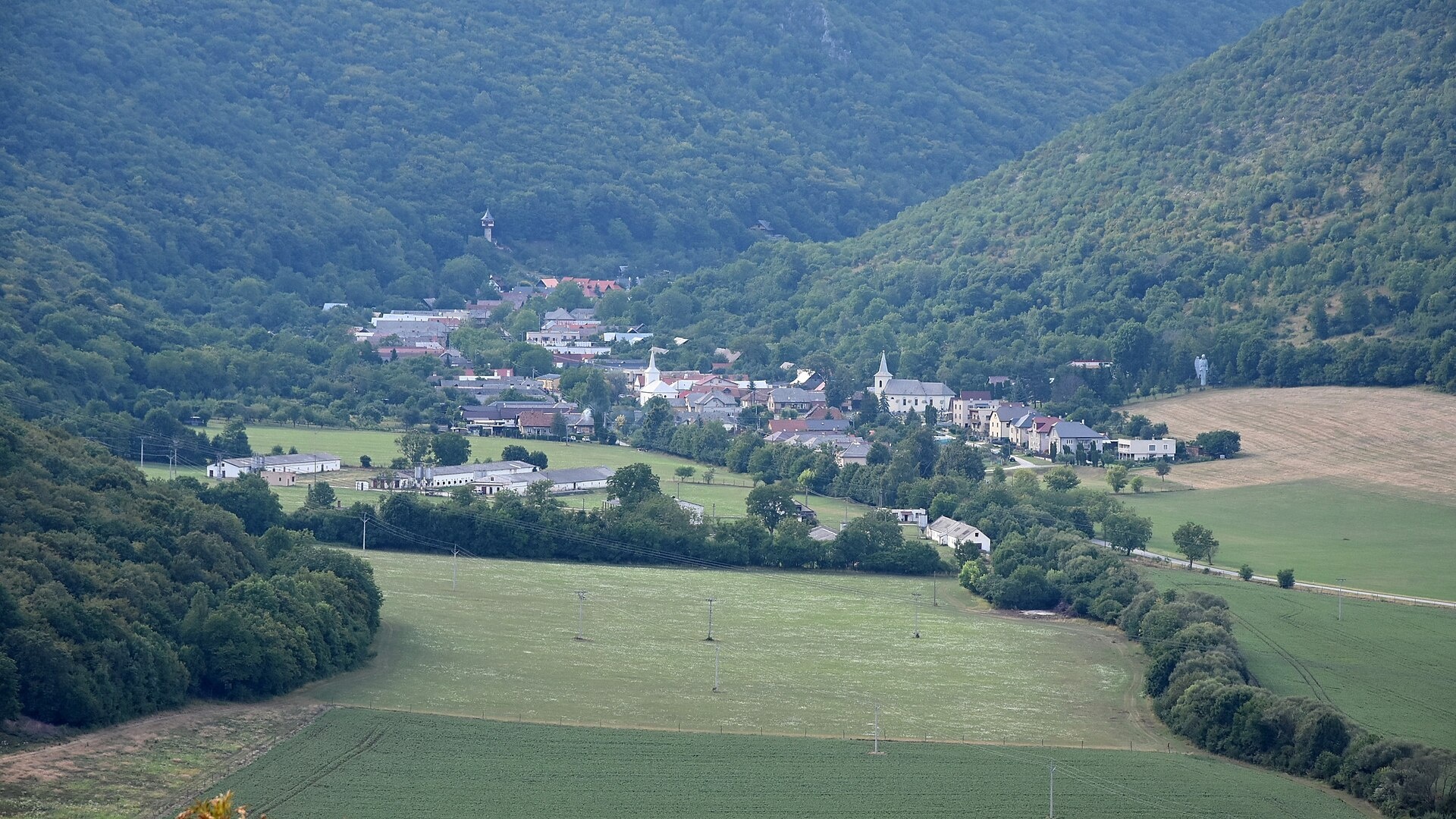
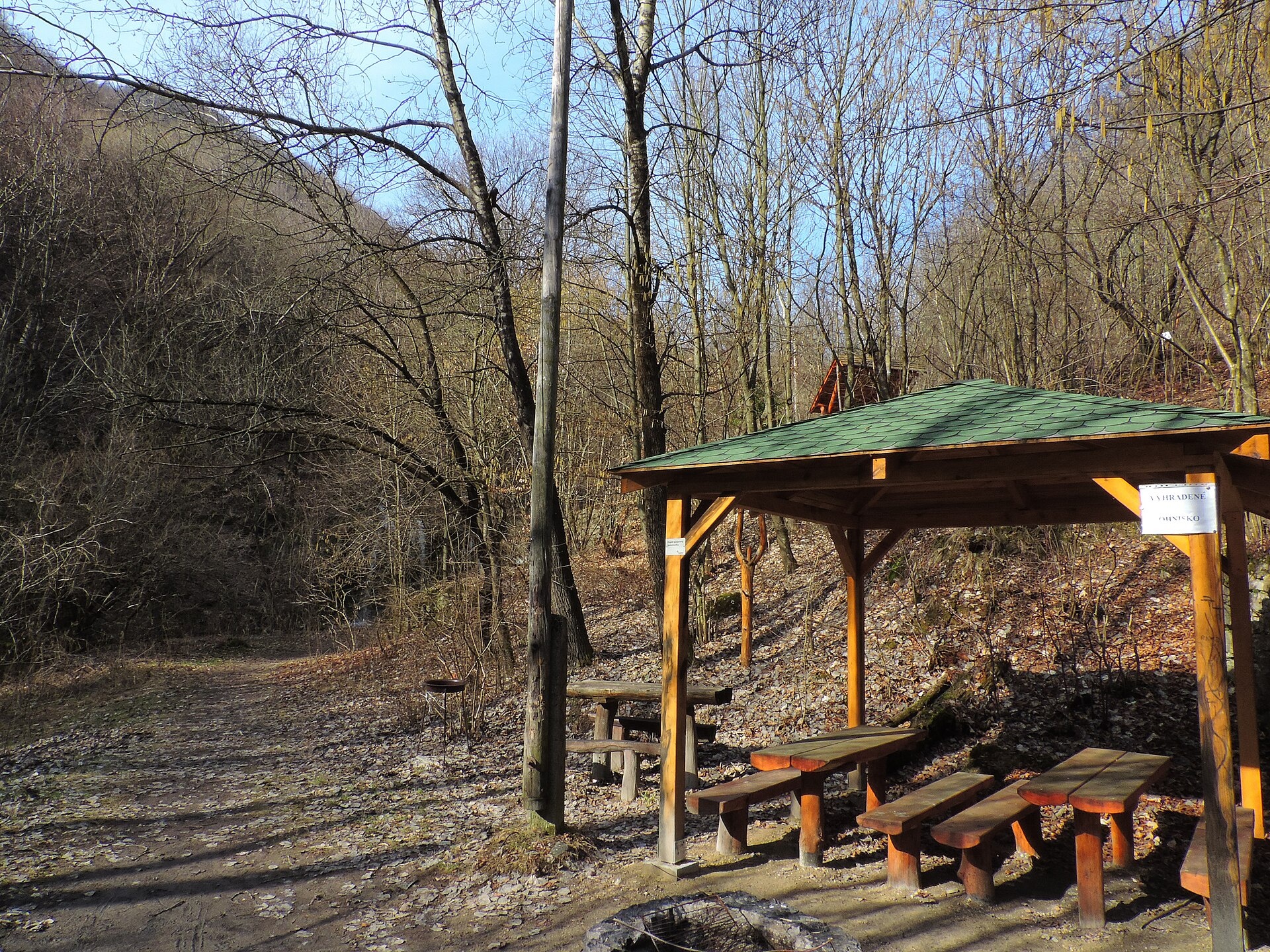
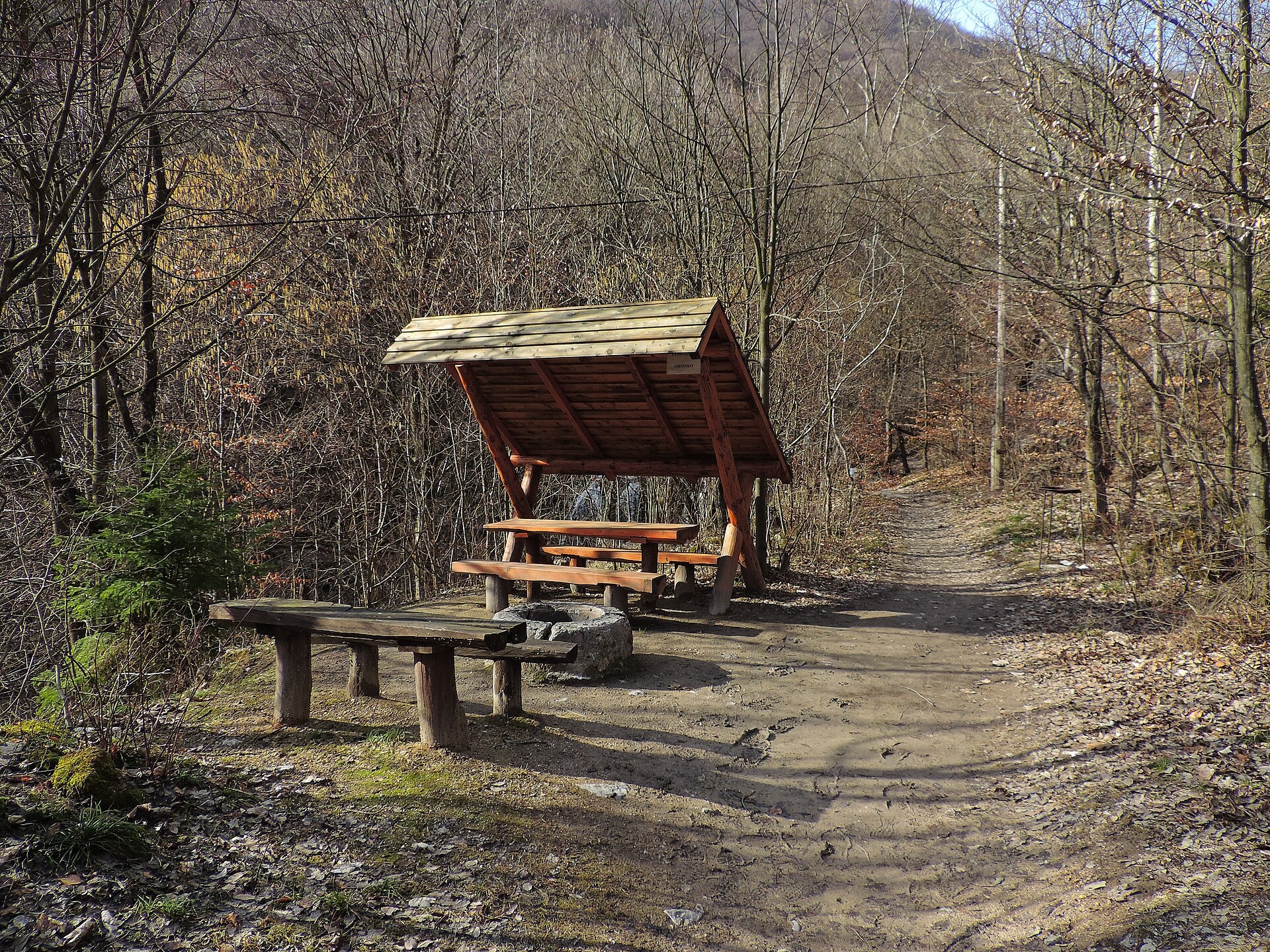
Photos: Rauenstein, CC BY-SA 3.0 (Wikimedia Commons); Patrik Kunec, CC BY-SA 4.0 (Wikimedia Commons); Jan Starec, CC BY-SA 3.0 (Wikimedia Commons); Jan Starec, CC BY-SA 3.0 (Wikimedia Commons); Rauenstein, CC BY-SA 3.0 (Wikimedia Commons); Patrik Kunec, CC BY-SA 4.0 (Wikimedia Commons)
Háj is a village in the Košice-okolie District of the Košice Region, Slovakia, situated at an elevation of 270 metres in the valley of the Hájsky stream. The settlement lies near the Slovak Ore Mountains, surrounded by rolling hills and forests characteristic of this part of eastern Slovakia.
The first written records of Háj date back to 1409. The village developed on lands once belonging to the Turňa estate, centered at the Turniansky Castle. In the 18th century, Háj was owned by the Keglevich family. In 1715, there were 14 liege families living here.
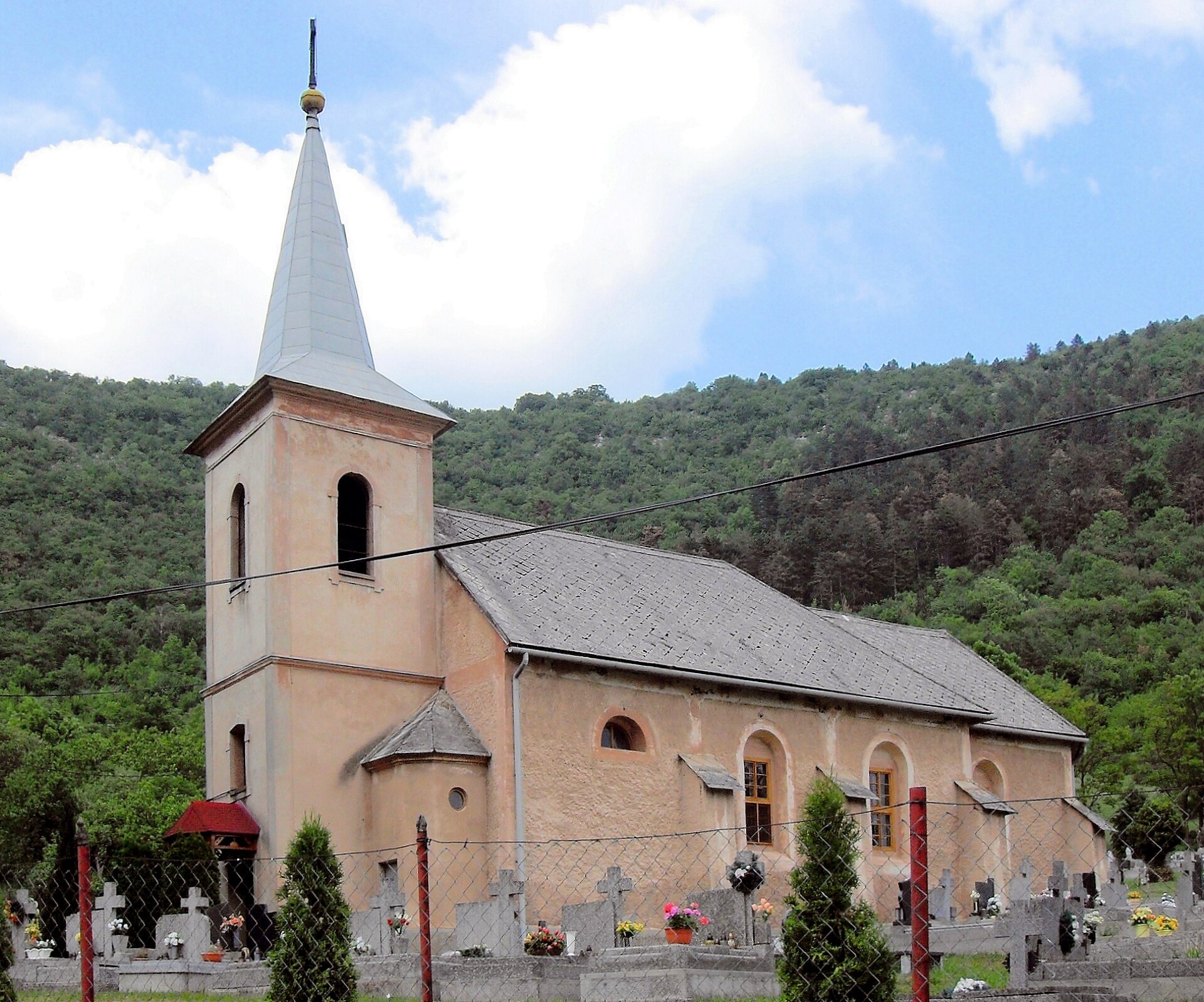
Háj is known for its natural attractions, especially the Háj waterfalls in the Slovak Karst. The village preserves historical monuments such as the Roman Catholic Church of St. Joseph (c. 1764) and the neo-classical Evangelical church (1896). The area attracts nature lovers and those interested in traditional pottery, which has long been practiced here.
Visitors can explore the Háj waterfalls, experience pottery making and field kiln firing in Háj, and enjoy numerous hiking trails, including "Turňa nad Bodvou, station – Jasov", "Domica Cave – Dvorníky-Zádiel", and "Štós, spa – Pod Osadníkom". Nearby is the Štós spa, offering climate therapy, speleotherapy, and a swimming pool.
Getting there from Ukraine
From Uzhhorod ≈182 km, ≈2 h 45 min without queues: Uzhhorod – Vyšné Nemecké → I/19 via Sobrance and Michalovce to Košice → D1 motorway via Prešov to the exit near Levoča → road 533 to Spišská Nová Ves (≈177 km, ≈2 h 30 min from the border). From Lviv via Uzhok and Ubľa ≈407 km, ≈6 h 40 min; through Poland (Kraków – Nowy Targ) ≈496 km, ≈6 h 20 min. The D1 requires an e-vignette (eznamka.sk).
Sources: Wikipedia, Wikidata, OpenStreetMap, Karpaty.rocks data. More on Wikipedia
Trails nearby
All trails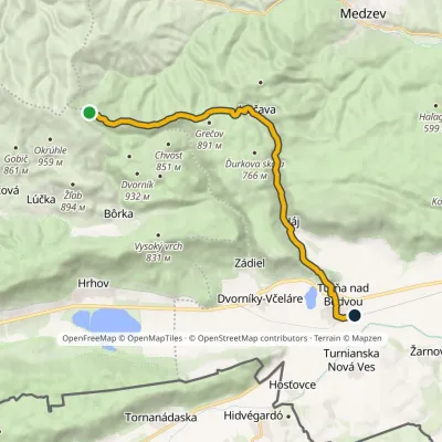 ModerateOne-dayMarkedTurňa nad Bodvou, station OsadníkElevation profile178–1 035 m17.5 kmascent 115 m≈ 4.5 h walkingunder 1 km from the centre
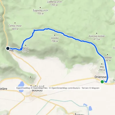 ModerateOne-dayMarkedDrienovec, stop HájElevation profile189–636 m12.2 kmascent 455 m≈ 4 h walkingunder 1 km from the centre
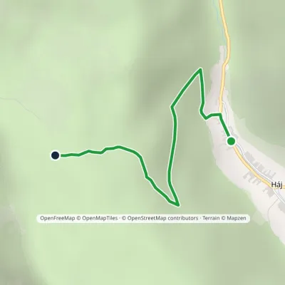 EasyOne-dayMarkedHáj Okrúhly lazElevation profile286–593 m2.3 kmascent 308 m≈ 1 h walkingunder 1 km from the centre
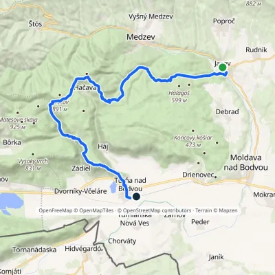 HardMulti-dayMarkedTurňa nad Bodvou, station JasovElevation profile178–892 m30.6 kmascent 1 034 m≈ 9.5 h walking1.1 km from the centre
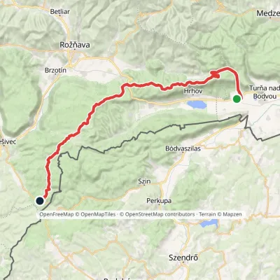 HardMulti-dayMarkedJaskyňa Domica Dvorníky-Zádiel, stopElevation profile212–811 m49 kmascent 1 109 m1.7 km from the centre
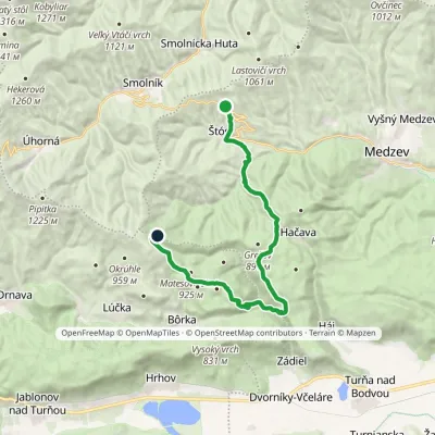 HardTwo-dayMarkedŠtós, spa Pod OsadníkomElevation profile417–1 042 m21.7 kmascent 1 058 m≈ 7.5 h walking2.1 km from the centre
Peaks nearby
All peaks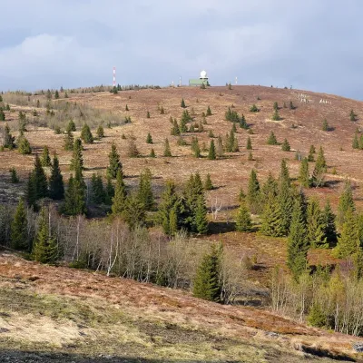 PeakKojšovská hoľaKojšovaltitude 1 246 m20 km from the centreKojšovská hoľa (colloquially Kojšovka; German Koischdorfer Höhe, Hungarian Kojsói-tető) is a 1,246 m mountain in the Volovské vrchy, part of the Slovak Ore Mountains...
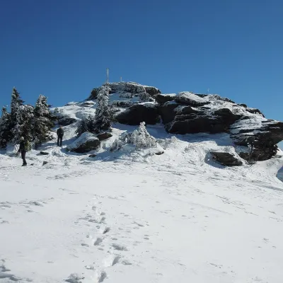 PeakSkaliskoBetliaraltitude 1 293 m24 km from the centreSkalisko (Hungarian Pozsálló; the massif is often called Volovec) is the second highest summit of the Volovské vrchy, part of the Slovak Ore Mountains, at 1,293 m.
What to visit
All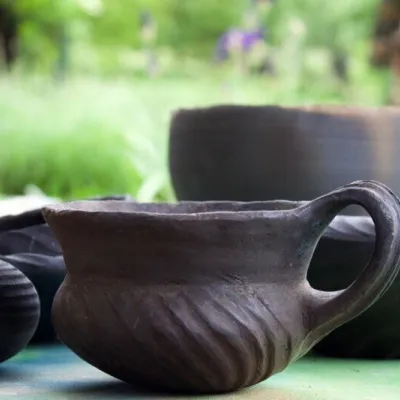 Crafts & workshopsHáj Pottery: wheel-thrown ceramics and wood-fired kilns in HájHájunder 1 km from the centreAt the back of an old farmhouse here is Háj Pottery (Hájske hrnčiarstvo), run by Amália Holíková. She throws utility ware on the wheel and models it by hand, but her...
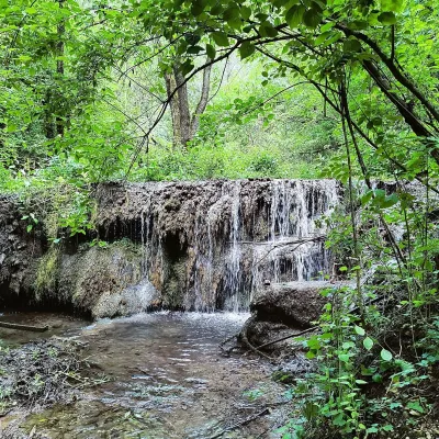 WaterfallHáj waterfalls in the Slovak KarstHáj1.4 km from the centreThe Háj waterfalls (Hájske vodopády, Hungarian Áji vízesések) are a cascade of travertine waterfalls in the Háj valley in the Slovak Karst National Park (Slovenský...
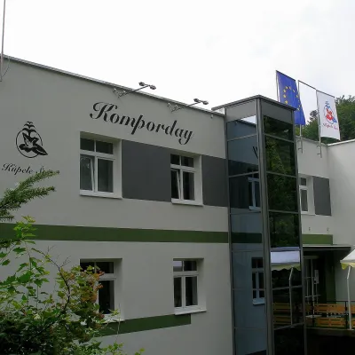 Water parks & thermal poolsŠtós spa: climatic cure, speleotherapy and poolŠtós11 km from the centreKúpele Štós is a climatic spa in south-eastern Slovakia, in the settlement of Štós-kúpele a few kilometres north of the mining village of Štós, where the Volovské...
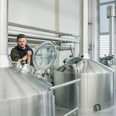 Craft beer & breweriesKaltenecker Brewery, Rožňava: Gemer craft beer from the sourceRožňava23 km from the centreThe modern Kaltenecker brewery was founded in 1997, and from the start it took a different path from the big breweries of the day: instead of one-size-fits-all beer, a...
 Craft beer & breweriesHerrenwald craft brewery, Malá Ida: tour with the brewerMalá Ida24 km from the centreThe Herrenwald brewery stands in its Panský les ("Lords’ Wood") quarter, from whose German name it takes its own.
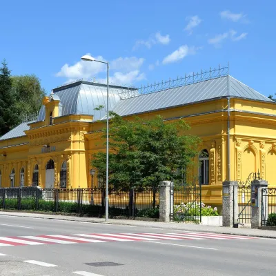 MuseumMining Museum in Rožňava and the Sentinel Experience CentreRožňava24 km from the centreThe Mining Museum in Rožňava (Banícke múzeum v Rožňave) is the main museum of Gemer, an old region of mines and smelters in the south of the Slovak Ore Mountains.
Craft nearby
All craft places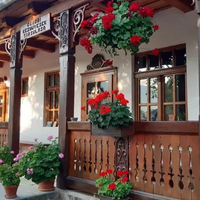
Spas and thermal pools nearby
Huts, shelters and springs nearby
Getting there from Ukraine
Border crossings
- Uzhhorod – Vyšné Nemecké — road, 24/7
- Malyi Bereznyi – Ubľa — road, 24/7 For cars and buses; pedestrians not confirmed by the Ukrainian border service, lorries up to 3.5 t.
- Mali Selmentsi – Veľké Slemence (pedestrian) — pedestrian, 09:00–21:00 Kyiv time Pedestrians and cyclists only; inconvenient for the Tatras without onward transport.
- Chop – Čierna nad Tisou (rail) — rail, 24/7
By car
From Uzhhorod ≈182 km, ≈2 h 45 min without queues: Uzhhorod – Vyšné Nemecké → I/19 via Sobrance and Michalovce to Košice → D1 motorway via Prešov to the exit near Levoča → road 533 to Spišská Nová Ves (≈177 km, ≈2 h 30 min from the border). From Lviv via Uzhok and Ubľa ≈407 km, ≈6 h 40 min; through Poland (Kraków – Nowy Targ) ≈496 km, ≈6 h 20 min. The D1 requires an e-vignette (eznamka.sk).
Checked 23.10.2026; border crossing hours and timetables change — check before you travel.
