Štós, spa – Pod Osadníkom
Trail map
Route, springs and shelters: © OpenStreetMap contributors (ODbL) · elevation: Copernicus DEM © DLR e.V., © Airbus DS · Data & licences
About the trail
Route Štós, spa – Pod Osadníkom. Has green marking (regional route №5718b, KST). Waymarking data: OpenStreetMap (© OpenStreetMap contributors, ODbL).
Officially marked regional tourist route No. 5718b. The marking is green, the sign is a horizontal stripe on a white background. Marked and maintained by: KST. Length of the route — 21.7 km. Location: mountain range — Slovak Rudohorie, Slovakia.
At a glance
A one-day route of 21.7 km with 1,058 m of ascent from Štós, spa to Pod Osadníkom. Estimated walking time: about 7 h, not counting stops. Difficulty: hard. Waymarking: green.
Route stages
- 0–2 kmDescent of 190 m (down to 431 m)
- 2–4 kmGentle ups and downs at 420–490 m
- 4–9 kmClimb of 420 m (up to 846 m)
- 9–14 kmDescent of 350 m (down to 491 m)
- 14–16 kmClimb of 340 m (up to 835 m)
- 16–22 kmGentle ups and downs at 830–1,040 m
Steepest kilometre: km 15–16, a climb of 190 m (≈19%).
Water and overnight stays
Springs near the trail: at km 0, 17 and 19. There are no springs between km 0 and 17 — carry at least 3 l of water.
When to go
Best time: May to October. In winter deep snow is possible, so experience and winter gear are needed.
Getting there
Start: Štós, spa. This is a one-way route: the finish is 7 km from the start in a straight line, so plan your way back in advance.
FAQ
- How long does the route take?
- Estimated walking time: about 7 h, not counting stops.
- Is there water on the route?
- Springs near the trail: at km 0, 17 and 19. There are no springs between km 0 and 17 — carry at least 3 l of water.
Water and shelter on the route
- Spring Prepad zvyšnej pitnej vody z rezervoára v Kúpeloch Štóskm 0 from the start · 60 m off the path · Not verified · 668 m
- Spring below Vŕšok (north slope)km 17.2 from the start · 130 m off the path · Not verified · 872 m
- Spring below Matesova skalakm 19 from the start · 60 m off the path · Not verified · 869 m
Comments
Trails nearby
All trails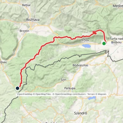 HardMulti-dayMarkedJaskyňa Domica Dvorníky-Zádiel, stopElevation profile212–811 m49 kmascent 1 109 m
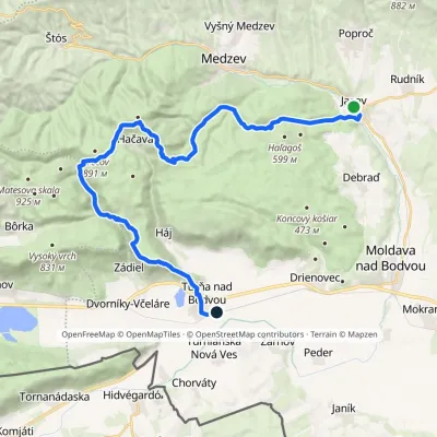 HardMulti-dayMarkedTurňa nad Bodvou, station JasovElevation profile178–892 m30.6 kmascent 1 034 m≈ 9.5 h walking
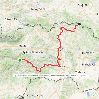 HardMulti-dayMarkedPred Čuntavou Dukliansky PassElevation profile227–1 293 m280.7 kmascent 8 346 m
Craft nearby
All craft places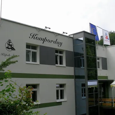 Water parks & thermal poolsŠtós spa: climatic cure, speleotherapy and poolŠtósunder 1 km from the trailKúpele Štós is a climatic spa in south-eastern Slovakia, in the settlement of Štós-kúpele a few kilometres north of the mining village of Štós, where the Volovské...
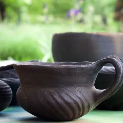 Crafts & workshopsHáj Pottery: wheel-thrown ceramics and wood-fired kilns in HájHáj11 km from the trailAt the back of an old farmhouse here is Háj Pottery (Hájske hrnčiarstvo), run by Amália Holíková. She throws utility ware on the wheel and models it by hand, but her...
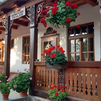 Markets & fairsGemer Craft Fair at Krásnohorská Dlhá Lúka below Krásna HôrkaKrásnohorská Dlhá Lúka19 km from the trailKrásnohorská Dlhá Lúka is a village below Krásna Hôrka castle, a few kilometres from Rožňava. In 2002 the Association of Gemer Craftsmen (Združenie gemerských...
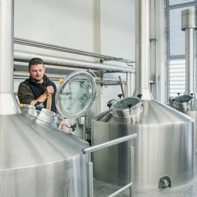 Craft beer & breweriesKaltenecker Brewery, Rožňava: Gemer craft beer from the sourceRožňava20 km from the trailThe modern Kaltenecker brewery was founded in 1997, and from the start it took a different path from the big breweries of the day: instead of one-size-fits-all beer, a...
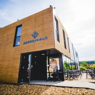 Craft beer & breweriesHerrenwald craft brewery, Malá Ida: tour with the brewerMalá Ida28 km from the trailThe Herrenwald brewery stands in its Panský les ("Lords’ Wood") quarter, from whose German name it takes its own.
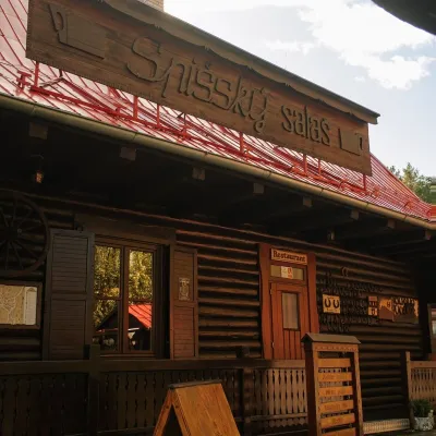 Koliby & Hutsul cuisineSpišský salaš below Spiš Castle: Spiš cooking since 1964Spišská Kapitula32 km from the trailBetween Spiš Castle and Spišská Kapitula, at the edge of the plain below the travertine mound of Sivá brada, stands the wooden Spišský salaš.
