Folusz
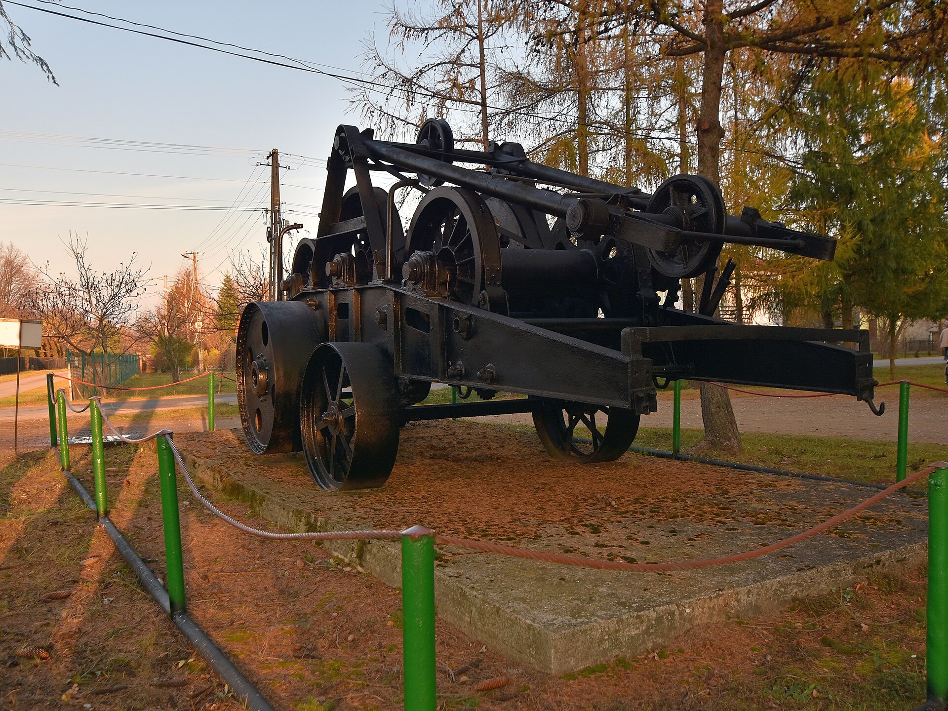
Photos: Henryk Bielamowicz, CC BY-SA 4.0 (Wikimedia Commons)
Folusz is a Lemko village in Poland, located in the administrative district of Gmina Dębowiec, Jasło County, Podkarpackie Voivodeship. The village lies on the right bank of the Kłopotnica River, a left tributary of the Wisłoka, near voivodeship road no. 993. It is surrounded by the Low Beskids mountains, on the edge of the Magura National Park.
Founded in the 16th century as Kłopotnica, Folusz belonged to the Mniszech family. In 1881, it had 571 inhabitants, mostly Greek Catholics. Until 1945, the population was almost entirely Lemko. After World War II, most residents were resettled during Operation Vistula, and Poles were settled in their place.
Folusz is known for its natural attractions, including the Magura Waterfall and the Diabli Kamień rock formation. The village is located near the Magura National Park, amidst forests and mountain streams. There is also an oil and gas mine and the Stanisław Zając Recreation and Ecological Education Park in the area.
Visitors can explore numerous hiking trails such as "Folusz – Bartne – Radocyna – Konieczna", "Filipowskie Saddle – Folusz", and "Folusz – Gorlice". The Magura Waterfall and Diabli Kamień are accessible by marked paths. Accommodation is available at shelters like "Dom Popielic" and the PTTK shelter in Bartne. Notable sights include the Church-Museum of Saints Cosmas and Damian in Bartne.
Getting there from Ukraine
Lviv – Krynica-Zdrój ≈338 km, ≈5 h without queues: M-10 to Krakovets → Krakovets – Korczowa checkpoint → toll-free A4 via Rzeszów to Tarnów (≈163 km) → DW977 towards Gorlice → DW981 to Krynica (≈260 km, ≈3 h 35 min from the border). Via Smilnytsia – Krościenko the distance is about the same (≈335 km) but the mountain roads are slow (≈7 h 40 min): DK84 – Sanok – DK28 via Krosno and Gorlice.
Sources: Wikipedia, Wikidata, OpenStreetMap, Karpaty.rocks data. More on Wikipedia
Trails nearby
All trails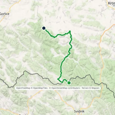 HardMulti-dayMarkedFilipovske Sedlo FoluszElevation profile280–710 m46.2 kmascent 1 320 munder 1 km from the centre
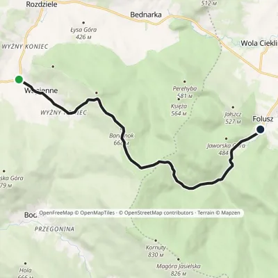 EasyOne-dayMarkedWapienne FoluszElevation profile383–695 m10.1 kmascent 316 m≈ 3 h walkingunder 1 km from the centre
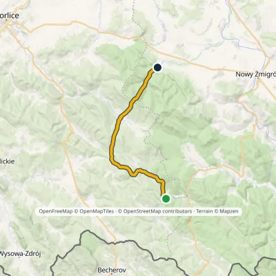 ModerateTwo-dayMarkedChatka w Nieznajowej KornutyElevation profile383–833 m20.6 kmascent 615 m≈ 6.5 h walkingunder 1 km from the centre
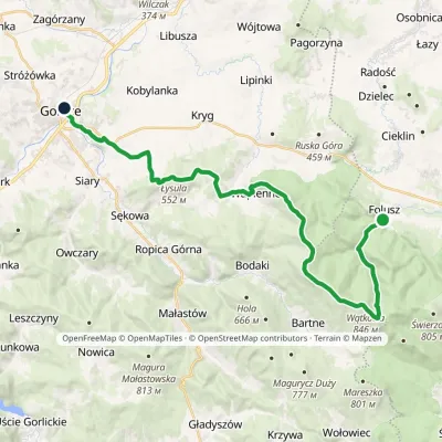 HardTwo-dayMarkedFolusz GorliceElevation profile280–846 m30.9 kmascent 729 m≈ 9 h walkingunder 1 km from the centre
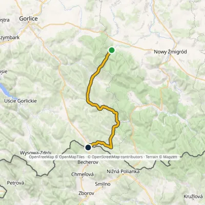 HardMulti-dayMarkedFolusz Koniecznavia Bartne, RadocynaElevation profile407–834 m31.1 kmascent 862 m≈ 9.5 h walkingunder 1 km from the centre
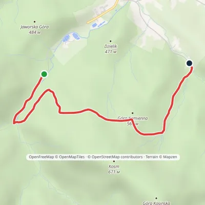 EasyOne-dayMarkedNature Trail FoluszElevation profile403–580 m3.8 kmascent 148 m≈ 1 h walking1.2 km from the centre
Peaks nearby
All peaks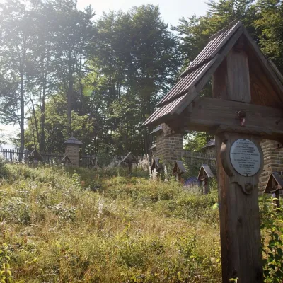 PeakBeskidekKoniecznaaltitude 685 m19 km from the centreBeskidek (Slovak Beskydek) is a 685 m wooded summit in the Low Beskid on the Polish–Slovak border, above the village of Konieczna.
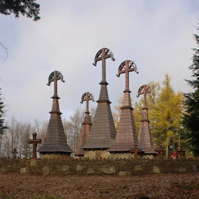 PeakRotundaRegietówaltitude 771 m19 km from the centreRotunda is a 771 m hill in the Low Beskid in south-eastern Lesser Poland. It lies on a side spur that leaves the main Carpathian ridge at Jaworzyna Konieczniańska and...
What to visit
All WaterfallWodospad Magurski (Magura Waterfall)Folusz1.8 km from the centreWodospad Magurski (Magura Waterfall) is a rock step about 7 m high in the forest above the village of Folusz, on the edge of Magura National Park in the Low Beskids ...
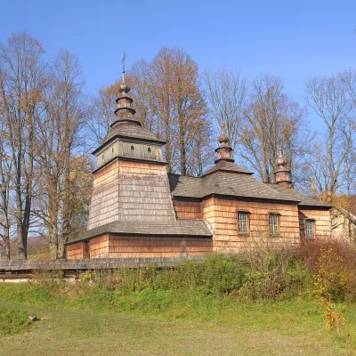 MuseumChurch Museum of Saints Cosmas and Damian in BartneBartne6.6 km from the centreThe Church of Saints Cosmas and Damian in Bartne is a former Greek Catholic Lemko church in a valley among the forests of the Low Beskids, which has served as a museum...
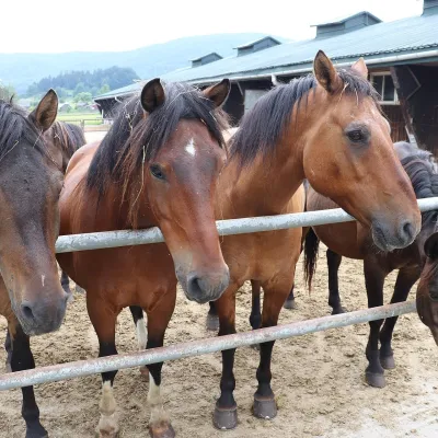 Horse ridingGładyszów Hucul Horse Stud, RegietówGładyszów14 km from the centreThe "Gładyszów" Hucul Horse Stud (Stadnina Koni Huculskich „Gładyszów”) in the Lemko village of Regietów is one of the largest places in the world where Hucul ponies...
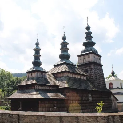 ChurchChurch of the Protection of the Mother of God in OwczaryOwczary14 km from the centreThe Church of the Protection of the Mother of God in Owczary is one of the oldest and most beautiful Lemko wooden churches in Poland.
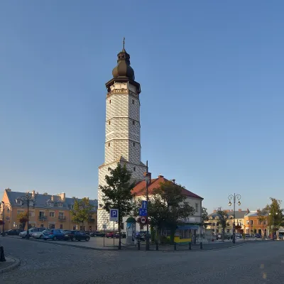 Historic siteBiecz Old TownBiecz16 km from the centreBiecz is a small town on the River Ropa in the Carpathian Foothills which, thanks to its rich history, is called the "pearl of the Subcarpathian region", "little...
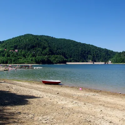 LakeKlimkówka Reservoir (Lake Klimkówka)Klimkówka22 km from the centreThe Klimkówka Reservoir (Zalew Klimkówka, commonly called Lake Klimkówka) is an artificial lake on the Ropa river in the Beskid Niski, near the villages of Klimkówka,...
Craft nearby
All craft places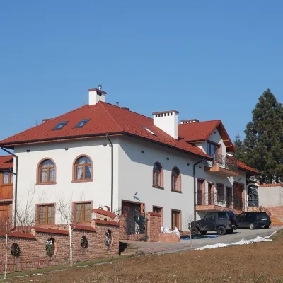 Wine & tastingsDwie Granice Vineyard, Przysieki near Jasło: cellar and tastingsPrzysieki14 km from the centreWinnica Dwie Granice (“Two Borders”) lies in the village of Przysieki a few kilometres west of Jasło, on the Jasło Wine Route.
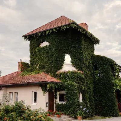 Wine & tastingsVanellus Vineyard, Jareniówka near Jasło: wine tastingsJareniówka16 km from the centreWinnica Vanellus is a small family vineyard in the village of Jareniówka, a few kilometres from the centre of Jasło.
 Markets & fairsInternational Wine Days in Jasło: a wine fair on the squareJasło16 km from the centreJasło is a small town in Podkarpacie that is often called one of the cradles of Poland's wine revival.
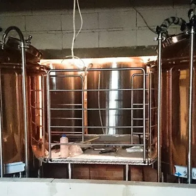 Craft beer & breweriesBrowar Dukla: craft brewery and brewpub on Dukla market squareDukla23 km from the centreDukla is an old small town at the foot of Mount Cergowa, on the historic trade route from Poland to Hungary over the Dukla Pass.
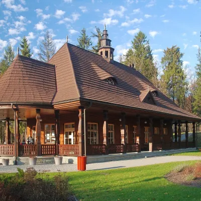 Water parks & thermal poolsWysowa-Zdrój spa: pump room, Franciszek and Henryk watersWysowa-Zdrój24 km from the centreWysowa-Zdrój is a quiet spa at the source of the Ropa river in the Beskid Niski, at 500–550 m, 20 km from Krynica-Zdrój and 25 km from Bardejovské Kúpele in Slovakia.
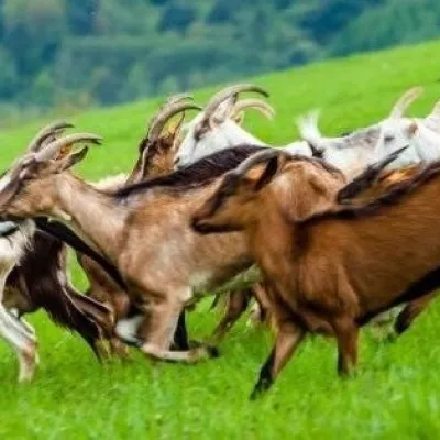 Cheese dairies & pasturesFIGA Organic Goat Cheese Farm, Mszana near DuklaMszana25 km from the centreThe FIGA organic family farm in the Lemko village of Mszana near Dukla is one of Poland's oldest goat cheese dairies.
Spas and thermal pools nearby
Huts, shelters and springs nearby
Getting there from Ukraine
Border crossings
- Krakovets – Korczowa — road, 24/7
- Shehyni – Medyka — road, 24/7 Pedestrian crossing is not confirmed by the Ukrainian border service — check dpsu.gov.ua before the trip.
- Smilnytsia – Krościenko — road, 24/7
- Hrushiv – Budomierz — road, 24/7
- Mostyska – Przemyśl (rail) — rail, 24/7
By car
Lviv – Krynica-Zdrój ≈338 km, ≈5 h without queues: M-10 to Krakovets → Krakovets – Korczowa checkpoint → toll-free A4 via Rzeszów to Tarnów (≈163 km) → DW977 towards Gorlice → DW981 to Krynica (≈260 km, ≈3 h 35 min from the border). Via Smilnytsia – Krościenko the distance is about the same (≈335 km) but the mountain roads are slow (≈7 h 40 min): DK84 – Sanok – DK28 via Krosno and Gorlice.
Checked 23.10.2026; border crossing hours and timetables change — check before you travel.
