Błyszcz
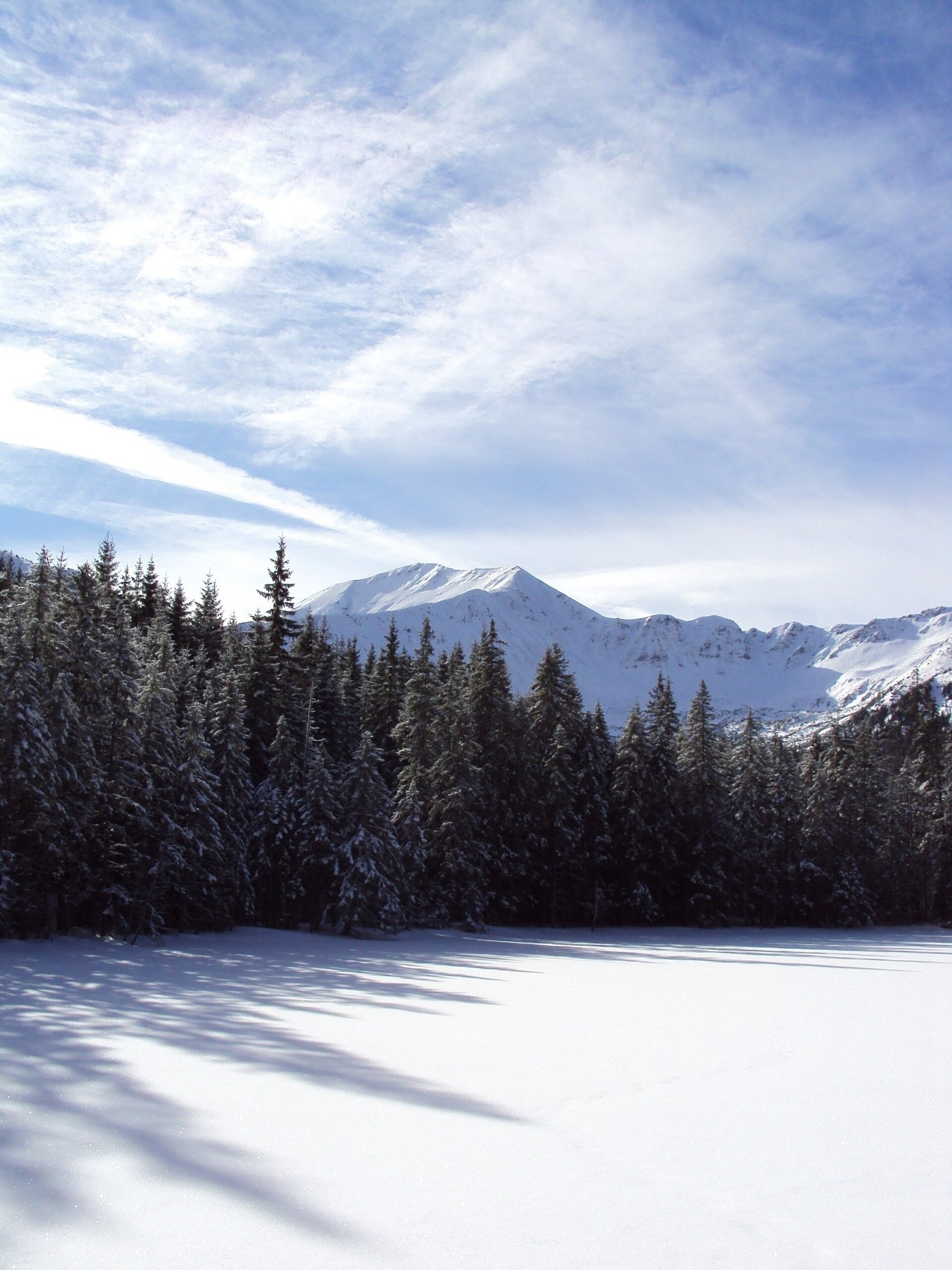
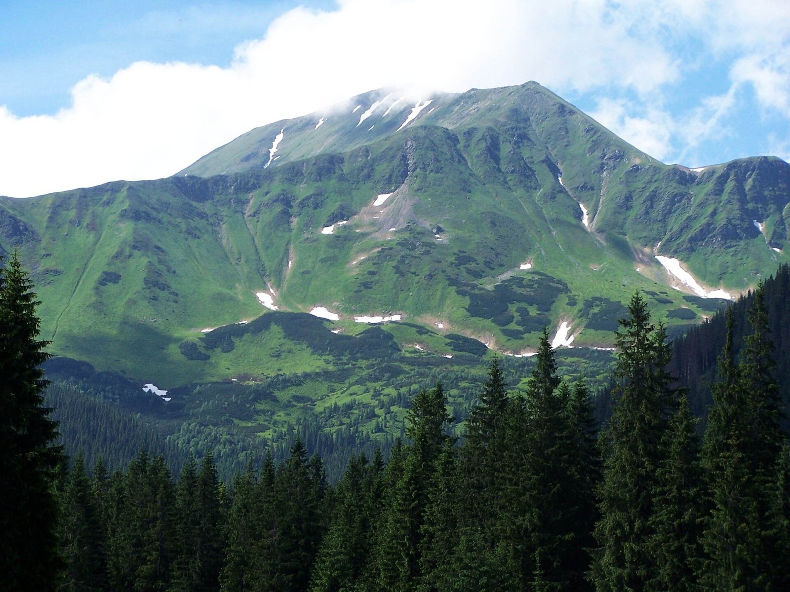
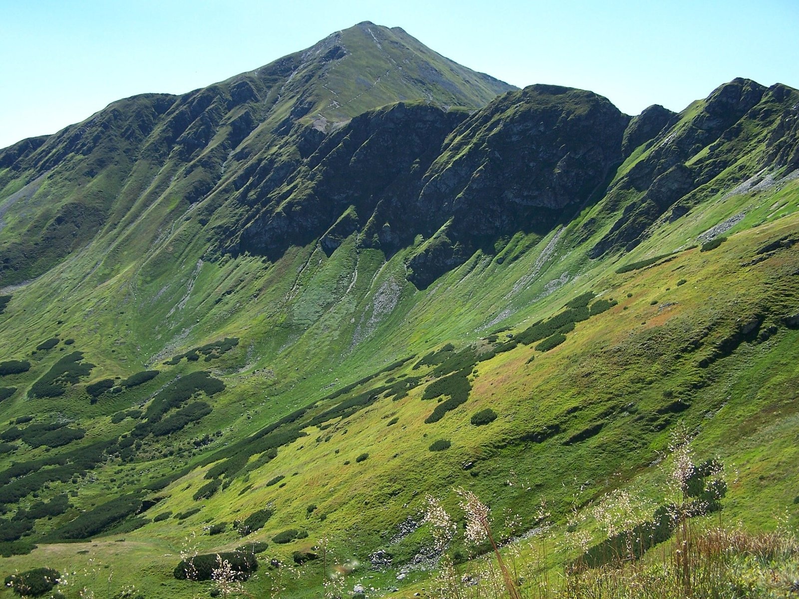
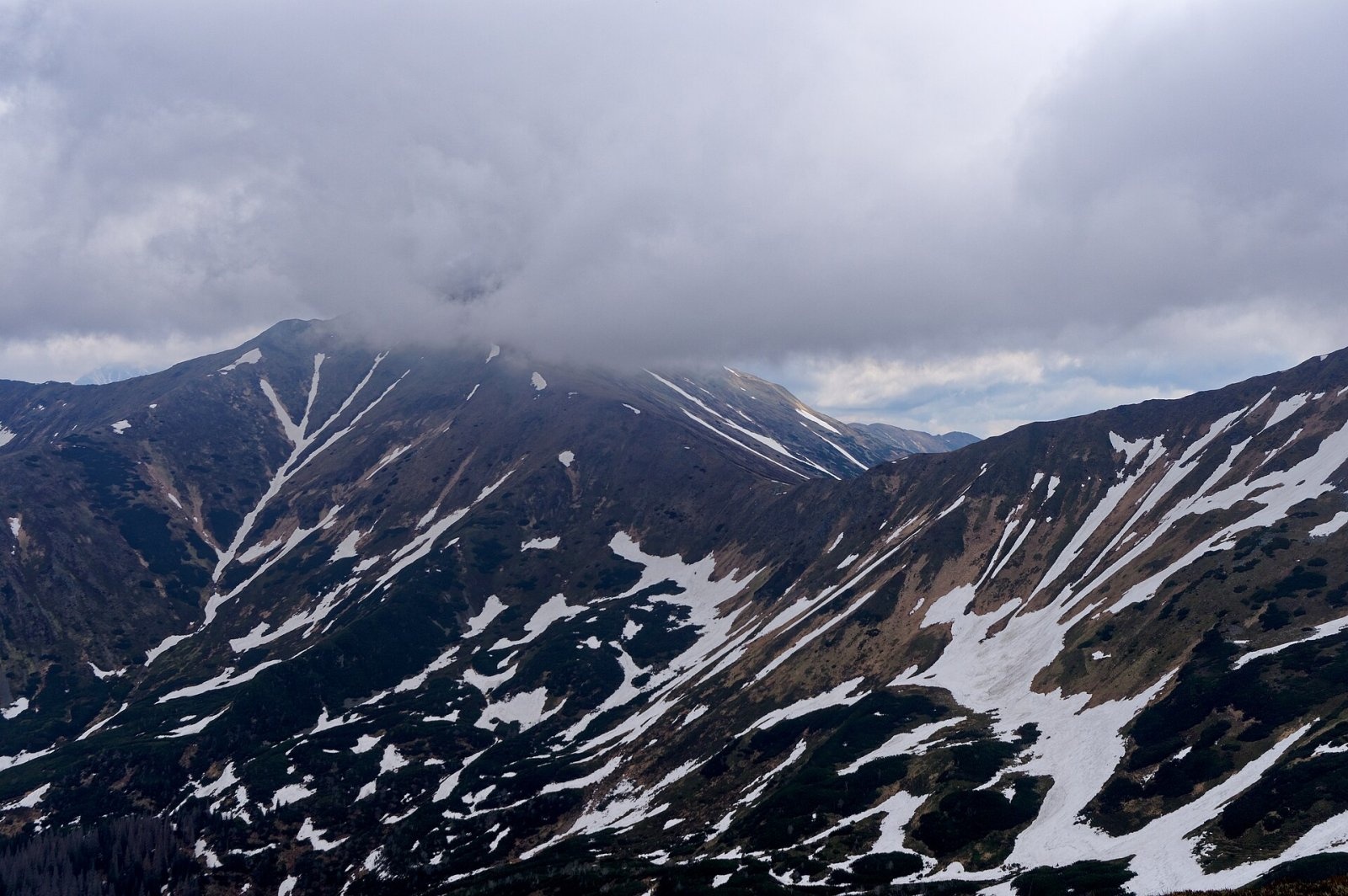
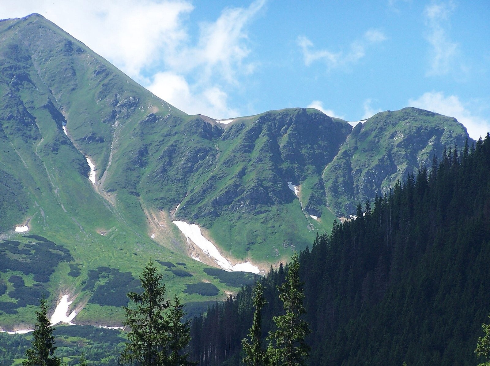
Błyszcz (Slovak Blyšť) is a 2159 m summit on the main ridge of the Western Tatras, on the Polish–Slovak border. It is the poorly defined northern end of the ridge of Bystrá (2248 m), the highest peak of the Western Tatras; geographically Błyszcz is not a separate summit, as there is no drop in the ridge between it and Bystrá. It is built of granite and gneiss and rises above the Polish Pyszna valley and the Slovak Kamenistá and Gáborova valleys. The southern part of the massif belongs to the village of Pribylina in Liptov, the northern part to the municipality of Kościelisko in Tatra County.
Błyszcz lies on the main ridge between two prominent peaks, Kamienista to the east, separated by the Pyszniańska Pass, and Starorobociański Wierch to the west, linked by a low jagged ridge with Siwy Zwornik and the Liliowe Turnie. Towards Poland, into the Pyszna valley, drops a steep 400 m face that breaks up lower down into rock ribs known as the Grzędy.
How to get there / trails
- The red trail along the main ridge via Liliowy Karb, the Liliowe Turnie, Banista Pass and Błyszcz to the Pyszniańska Pass: about 55 min from Liliowy Karb to the summit (35 min down), about 40 min from Błyszcz to the Pyszniańska Pass (55 min the other way).
- The blue trail (Slovak side only) from the green trail in the Gáborova valley to Banista Pass, about 1 h; it then continues to Bystrá along the western slopes of Błyszcz just below the ridge, about 40 min.
From the Slovak side the ridge can also be reached by the blue trail from Podbanské up the Kamenistá valley to the Pyszniańska Pass and by the yellow trail from Hrdovo up the Bystrá valley over Bystrá. An unmarked but well-used path leads from the summit to Bystrá. Both ridge trails are closed every year from 1 November to 15 June.
The view from the top
The grassy and rocky summit offers an all-round panorama. You can see many peaks of the Western and High Tatras, the surrounding valleys and the foothills on the Polish side, and in good visibility also the Podtatranská kotlina basin, the Kozie chrbty, the Slovak Paradise, the Orava Beskids and part of the Low Tatras. Błyszcz together with Bystrá is well seen from the Kościeliska valley, especially from the PTTK hut on Hala Ornak and from the shores of Smreczyński Staw.
Nature and history
The rocky slope of Błyszcz often glitters in the sunlight, hence the name (Polish błyszczeć, to shine). It was popularised by Walery Eljasz-Radzikowski, author of one of the first Tatra guidebooks. The summit used to be called Pyszna after the Hala Pyszna meadow below it, and the Geographical Dictionary of the Kingdom of Poland also gives the form Błyski Wierch.
At the end of the 19th and in the first half of the 20th century Błyszcz and Bystrá were a popular hiking objective. The first hikers stayed at an inn on the Stare Kościeliska glade and later at the long-gone hut on Hala Pyszna. After the Tomanowa-Smreczyny nature reserve was created in 1947, Błyszcz was out of reach for Polish hikers for a long time; today it can be reached from Banista Pass.
The area of Błyszcz has an interesting flora, including alpine bent, Carpathian cat's-foot and large-headed saussurea, species that in Poland grow only in the Tatras and only at a few sites.
Safety, season and rules
The summit lies in the Tatra National Park (TPN) on the Polish side and in TANAP on the Slovak side. Walking is allowed only on marked trails, and the ridge trails to Błyszcz are closed from 1 November to 15 June. The ridge is exposed to wind and thunderstorms, so in summer start early and watch the forecast. In the Polish Tatras help comes from TOPR: 985 or +48 601 100 300, general emergency number 112; in the Slovak Tatras from HZS: 18 300 (+421 18 300).
Photos: 1bumer, CC BY-SA 3.0; Opioła Jerzy, CC BY 2.5; Jerzy Opioła, CC BY-SA 4.0; Jakub Hałun, CC BY-SA 4.0; Jerzy Opioła, CC BY-SA 4.0; Opioła Jerzy, CC BY 2.5; Jakub Hałun, CC BY-SA 4.0 — Wikimedia Commons.
Getting there from Ukraine
Border crossings
- Krakovets – Korczowa — road, 24/7
- Shehyni – Medyka — road, 24/7 Pedestrian crossing is not confirmed by the Ukrainian border service — check dpsu.gov.ua before the trip.
- Smilnytsia – Krościenko — road, 24/7
- Hrushiv – Budomierz — road, 24/7
- Mostyska – Przemyśl (rail) — rail, 24/7
By car
Lviv – Zakopane ≈421 km, ≈5 h 10 min without border queues. Route: M-10 Lviv – Krakovets → Krakovets – Korczowa checkpoint → A4 motorway (Rzeszów – Tarnów – Kraków) → Kraków southern bypass → S7/DK7 → DK47 ('Zakopianka') via Nowy Targ → Zakopane. The A4 Katowice – Kraków section (Balice and Mysłowice toll plazas) is tolled, but this route does not use it. In summer and at weekends the DK47 near Zakopane is often congested.
Checked 23.10.2026; border crossing hours and timetables change — check before you travel.
Location on the map
Water and shelter nearby
- Spring below Jakubina1.9 km · Not verified · 1 596 m
- Koliba pod Klinom Shelter2 km · Not verified · 1 439 m
- Spring below Kończysty Wierch2.5 km · Not verified · 1 822 m
Comments
Trails nearby
All trails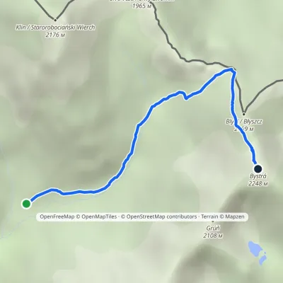 HardOne-dayMarkedJunction in Gáborova Valley BystráElevation profile1 450–2 248 m3.2 kmascent 798 m≈ 2.5 h walkingunder 1 km from Błyszcz
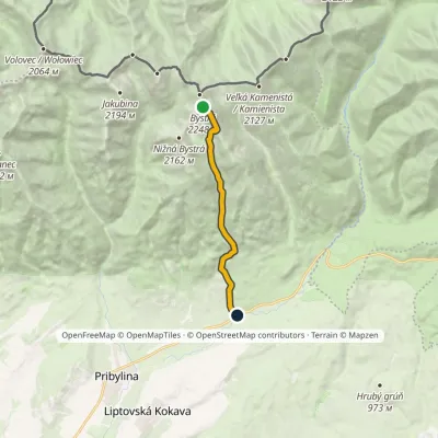 HardOne-dayMarkedHrdovo BystráElevation profile849–2 248 m9.1 kmascent 1 399 m≈ 5 h walkingunder 1 km from Błyszcz
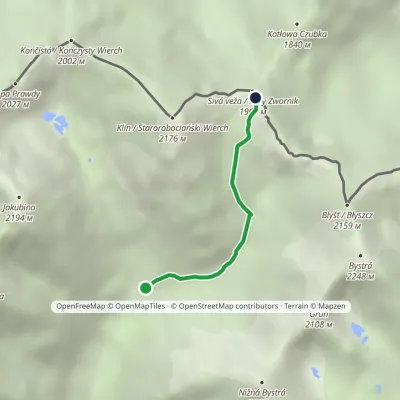 ModerateOne-dayMarkedJunction under Klin Gáborovo SaddleElevation profile1 450–1 965 m2.5 kmascent 515 m≈ 1.5 h walkingunder 1 km from Błyszcz
Nearby attractions
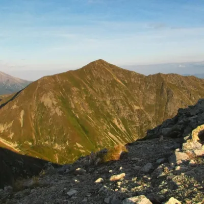 PeakBystráPodbanskéaltitude 2 248 munder 1 km from Błyszcz2 trails to the topBystrá (Polish: Bystra) is the highest peak of the Western Tatras at 2,248 m. It lies entirely in Slovakia, about 600 m south of the main ridge that carries the Polish...
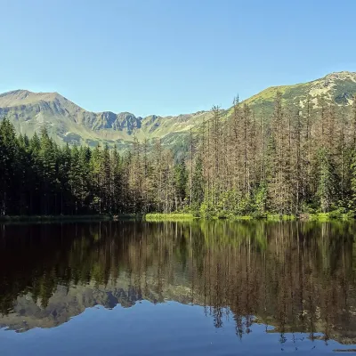 LakeSmreczyński Staw LakeKościelisko3.7 km from BłyszczSmreczyński Staw is a small glacial lake in the upper part of the Kościeliska Valley, at the mouth of the Pyszniańska Valley, at 1,226 m.
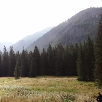 Mountain meadowHala OrnakKościeliskoaltitude 1 100 m4.1 km from BłyszczHala Ornak is a former shepherds' pasture in the upper part of the Kościeliska Valley in the Western Tatras, inside the Tatra National Park (TPN).
Craft nearby
All craft places Cheese dairies & pasturesShepherds' Huts on Polana ChochołowskaKościelisko6 km from BłyszczPolana Chochołowska is the largest glade in the Polish Tatras and one of the largest in the whole range.
 Cheese dairies & pasturesShepherd's Hut in the Kościeliska ValleyKościelisko8.5 km from BłyszczJózef Słodyczka's bacówka (shepherd's hut) on the Wyżnia Kira Miętusia glade is probably the most easily reached shepherds' hut in the Polish Tatras.
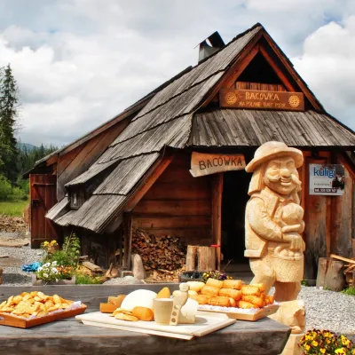 Cheese dairies & pasturesBiały Potok Shepherd's Hut, Witów: oscypek and cheese workshopsKościelisko10 km from BłyszczBiały Potok meadow in the village of Witów lies between the entrances to two of the most visited Tatra valleys, Chochołowska and Kościeliska.
 Horse ridingKone vo Východnej: horse rides below the TatrasVýchodná13 km from BłyszczKone vo Východnej (“Horses in Východná”) is a small family horse farm on the meadows above the village of Východná in upper Liptov, with a sweeping view of the High...
 Koliby & Hutsul cuisineBąkowo Zohylina Wyźnio Highland TavernZakopane14 km from BłyszczBąkowo Zohylina Wyźnio is a regional highland tavern in Zakopane housed in a wooden "szałas" (shepherd-hut-style building) with a view of the Tatras.
 Water parks & thermal poolsMeander Thermal Resort, OraviceVitanová14 km from BłyszczMeander Thermal & Ski Resort (formerly Meander Park) is a thermal water park and ski centre in the mountain settlement of Oravice in northern Slovakia, at the foot of...
