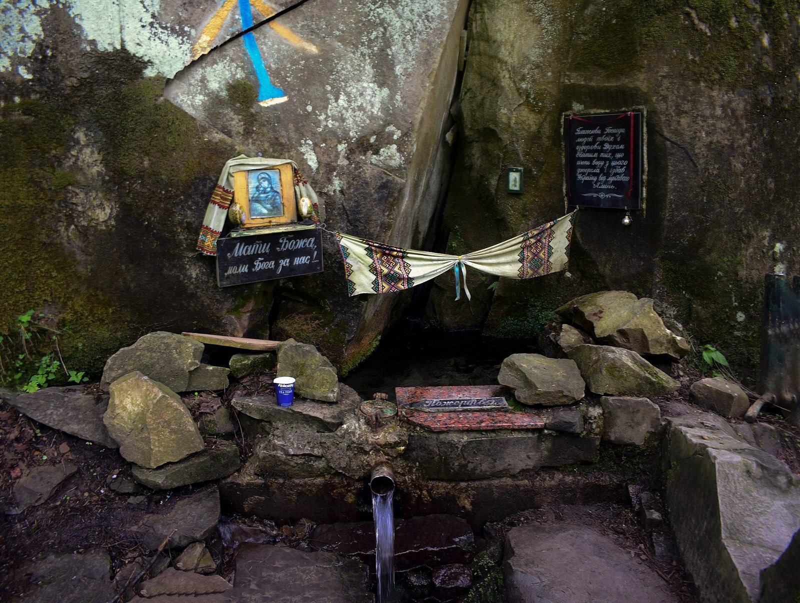
- Photo: Сарапулов / Wikimedia Commons, CC BY-SA 4.0
Condition
Not verifiedNo recent reports. Carry water and, if you pass by, tell us what you saw.
Last edited on the OSM map 04.03.2023
- 567 m
About
Skole Beskids range, about 570 m above sea level. The nearest settlement is Kamianka, about 2.2 km in a straight line. 6 of the site’s trails pass nearby, including “Skole, via Mount Lopata to Kamianka Waterfall”.
There is no confirmation that the water is drinkable — boil or filter it first. The nearest hut or shelter is “Weather shelter (Kamianka)”, 140 m away.
In an emergency in the mountains call the rescuers: 101 or 112.
Comments
Travellers’ experience: reports, tips, questions.
No one has written here yet. Be the first — your experience helps others.
On the map
Coordinates: 49.03306, 23.57038
How to get there
Trails nearby
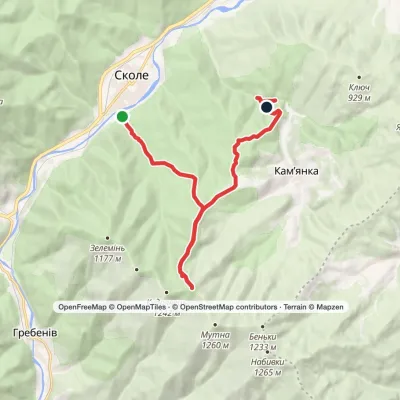 ModerateOne-daySkole to Kamianka Waterfallvia Mount LopataElevation profile447–1 211 m18 kmascent 823 m≈ 6 h walking
 ModerateOne-dayMarkedSkole loopvia Kamianka Waterfall, Lake ZhuravlyneElevation profile429–701 m17.7 kmascent 386 m≈ 5 h walking
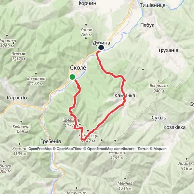 HardOne-daySkole to Dubyna villagevia Mount Lopata, Kamianka WaterfallElevation profile418–1 211 m25.7 kmascent 986 m≈ 8 h walking
 Hard1–2 daysDubyna village to Tukhlia villagevia Kamianka Waterfall, Mount Lopata +1Elevation profile418–1 233 m38.8 kmascent 1 600 m≈ 12.5 h walking
 Hard1–2 daysSkole loopvia Mount Lopata, Mount Khom +3Elevation profile418–1 260 m31.4 kmascent 1 006 m≈ 9.5 h walking
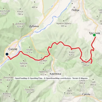 ModerateOne-dayTrukhaniv village to Skolevia Mount Kliuch, Lake Zhuravlyne +1Elevation profile437–927 m18.8 kmascent 772 m≈ 6 h walking
Nearest settlement: Kamianka, about 2.2 km in a straight line.
Report the condition
Been here recently? Tell us what you saw and add photos — your report appears on the page right away with today’s date.
Wildlife nearby
All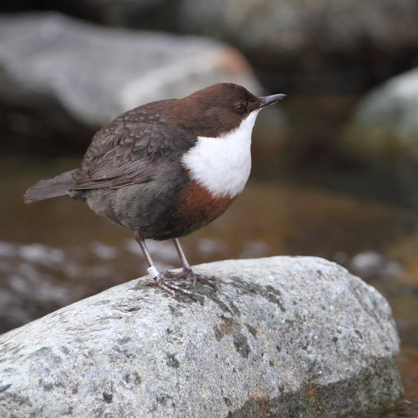
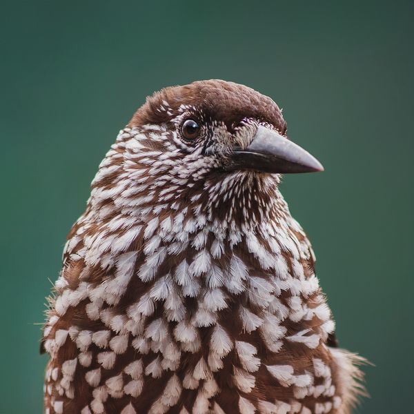
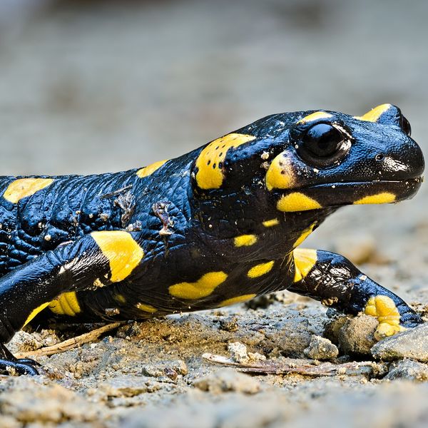
Based on naturalists’ records nearby (GBIF, iNaturalist), matched by altitude, habitat and season. Sightings are not guaranteed.
