Walentkowy Wierch
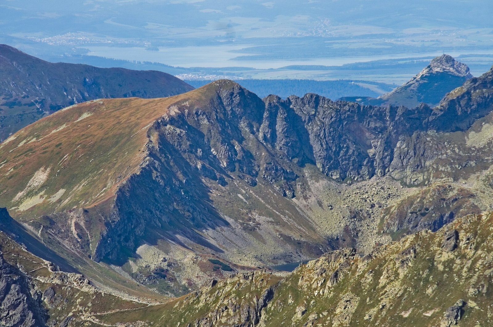
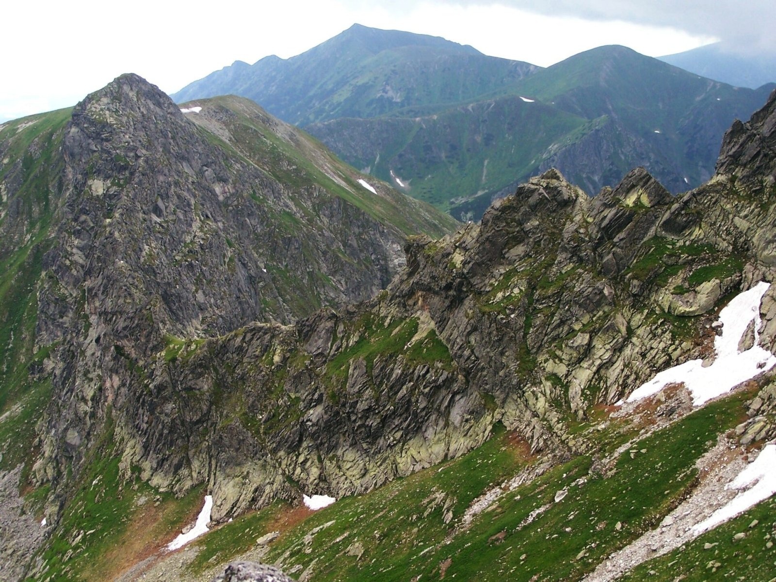
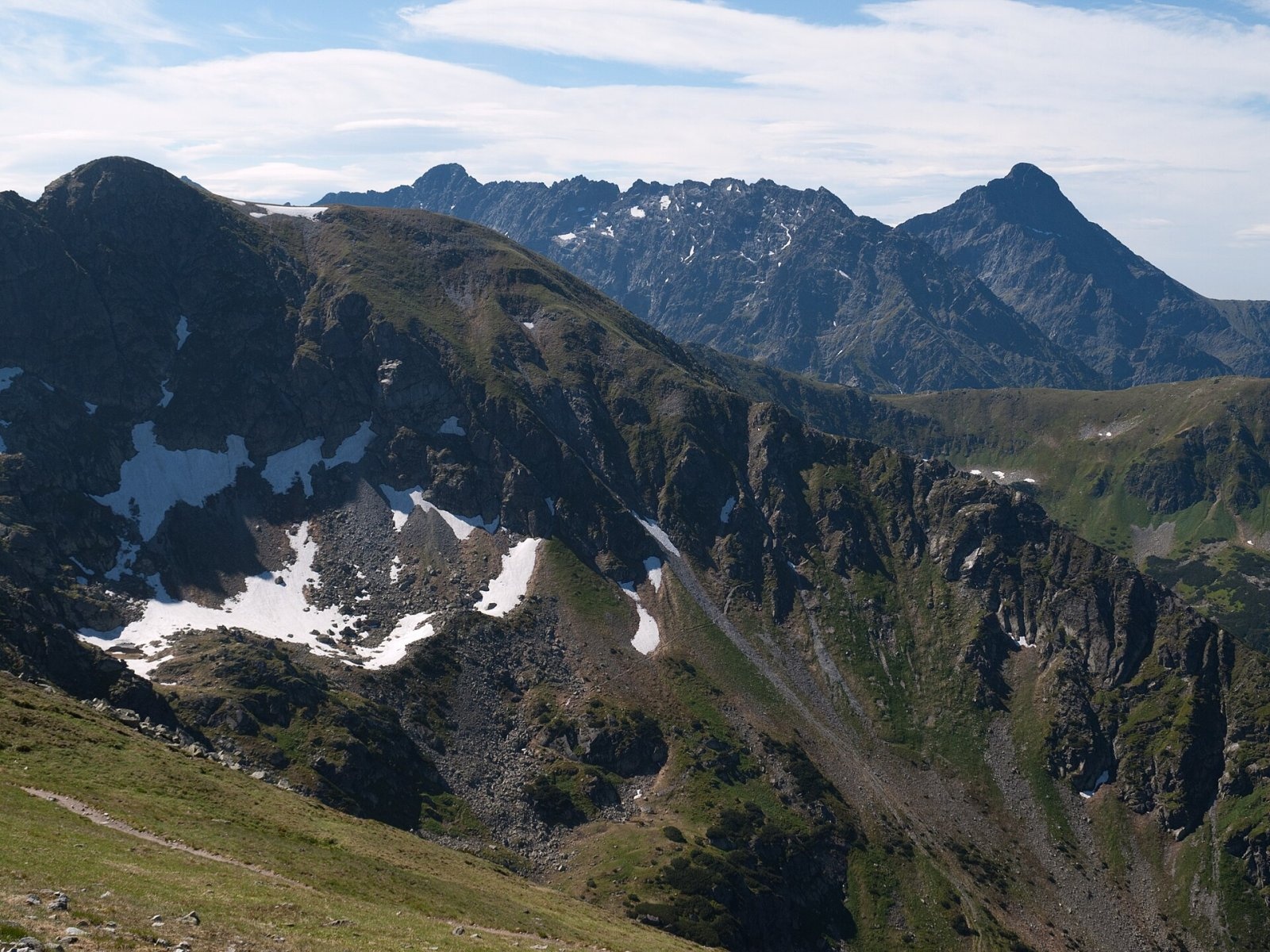
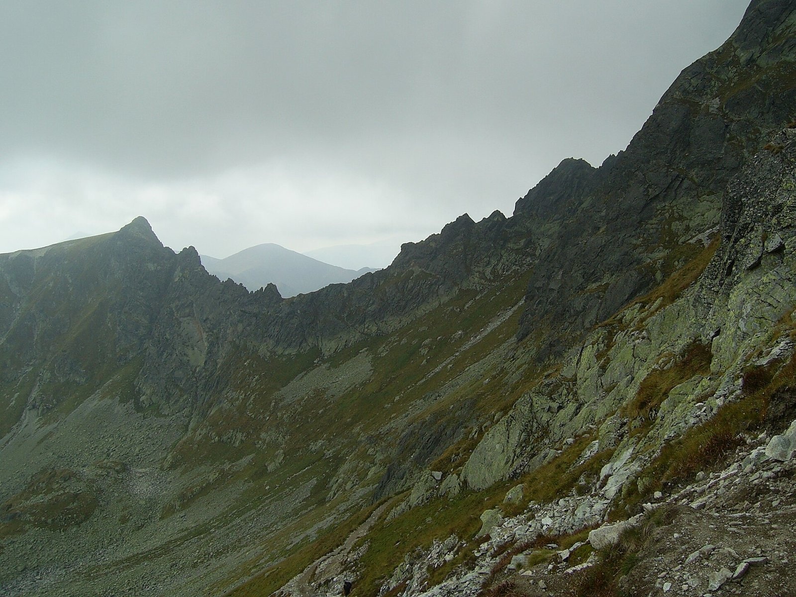
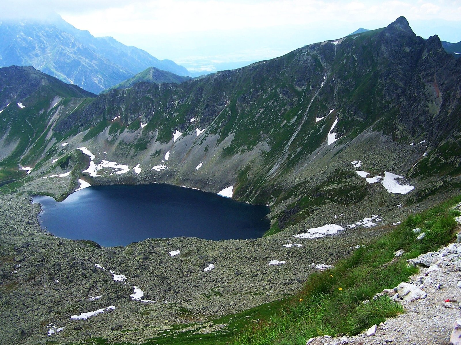
Walentkowy Wierch (also Walentkowa; Slovak Valentková, German Valentinsberg) is a 2156 m summit on the main ridge of the Tatras, crossed by the Polish–Slovak border. It lies south of Świnica, separated from it by the Walentkowa Przełęcz pass (2100 m), and north-west of Gładki Wierch, from which the Gładka Przełęcz (about 1994 m) divides it. A narrow ridge with many towers and notches, the Walentkowa Grań, links it with Świnica.
The north-western slopes drop into the Walentkowa valley, the south-eastern slopes into the Dolinka pod Kołem with Zadni Staw Polski, the highest lake of the Valley of Five Polish Lakes. A short side ridge with Walentkowa Kopa (1875 m) runs west, dividing the Slovak Tichá valley from the Walentkowa valley. The nearest starting points are the Palenica Białczańska car park (about 8.5 km in a straight line), Zakopane (10 km), and Podbanské (11 km) and Tatranská Javorina (12 km) in Slovakia.
How to get there / trails
No marked trail leads to the summit. On the Polish side (Tatra National Park) walking is allowed on marked trails only, so the summit is closed to ordinary hikers. On the Slovak side it lies in the Tichá dolina national nature reserve within TANAP, where off-trail ascents are allowed only with a licensed mountain guide.
The nearest marked trails are:
- the blue trail from the hut in the Valley of Five Polish Lakes through the Dolinka pod Kołem to the Zawrat pass (about 1 h 40 min), passing below the summit's south-eastern slopes and Zadni Staw;
- on the Slovak side, the red trail from the Tichá valley to the Zavory pass (about 2 h 20 min from the yellow trail) and on in 15 min to Gładka Przełęcz (Hladké sedlo).
The view from the top
The rocky summit offers an all-round panorama, wider than from neighbouring Gładki Wierch. You see the surrounding peaks and valleys of the High and Western Tatras — Świnica, Koszysta, Kriváň, the Hrubý ridge, Kresanica, Kasprowy Wierch — and in good visibility also part of the Low Tatras and the Orava Beskids.
Nature and history
The grassy southern slopes were once grazed by shepherds from Liptov; sometimes Polish herders from the Five Lakes valley also brought sheep over Gładka Przełęcz. They called the pasture Walentkowa, after a Liptov herdsman named Valent (Valentko) who grazed oxen there. After 1858 the name appeared in literature and on maps, and cartographers transferred it from the pasture to the summit, as often happened in the Tatras. Later the Polish name became Walentkowy Wierch, while Slovaks still use Valentková. Austrian cartographers labelled the peak «Nad kamenim», but that name never caught on. In the 19th century the summit was an important survey point.
The first recorded tourist ascent in summer was made on 5 August 1902 by Teodor Eichenwald, Ferdynand Rabowski, Jan Bachleda Tajber and Wojciech Tylka Suleja; the first winter ascent on 1 January 1914 by S. Bujwid, Kazimierz Piotrowski and H. Trzebnicki.
Safety, season and rules
This is high-mountain terrain with sudden weather changes, fog and early snowfall. In Poland's Tatra National Park entry is paid, walking is allowed on trails only and dogs are not permitted on trails. Since 2021 the Zawrat – Świnica section of the red trail has been one-way (towards Świnica only). On the Slovak side, TANAP high-mountain trails are closed from 1 November to 31 May. Rescue: in Poland TOPR (985 or +48 601 100 300), in Slovakia HZS (18 300 or +421 18 300); emergency number 112.
Photos: Adrian Tync, CC BY-SA 4.0; Opioła Jerzy, CC BY 2.5; Rafał Kozubek, CC BY-SA 3.0; Krzysztof Dudzik-Górnicki, CC BY 3.0; Opioła Jerzy, CC BY-SA 3.0 — Wikimedia Commons.
Getting there from Ukraine
Border crossings
- Krakovets – Korczowa — road, 24/7
- Shehyni – Medyka — road, 24/7 Pedestrian crossing is not confirmed by the Ukrainian border service — check dpsu.gov.ua before the trip.
- Smilnytsia – Krościenko — road, 24/7
- Hrushiv – Budomierz — road, 24/7
- Mostyska – Przemyśl (rail) — rail, 24/7
By car
Lviv – Zakopane ≈421 km, ≈5 h 10 min without border queues. Route: M-10 Lviv – Krakovets → Krakovets – Korczowa checkpoint → A4 motorway (Rzeszów – Tarnów – Kraków) → Kraków southern bypass → S7/DK7 → DK47 ('Zakopianka') via Nowy Targ → Zakopane. The A4 Katowice – Kraków section (Balice and Mysłowice toll plazas) is tolled, but this route does not use it. In summer and at weekends the DK47 near Zakopane is often congested.
Checked 23.10.2026; border crossing hours and timetables change — check before you travel.
Location on the map
Water and shelter nearby
- Spring below Zadná Licierova kopa (east slope)1.1 km · Not verified · 1 577 m
- Spring below Zadná Licierova kopa (north-east slope)1.2 km · Not verified · 1 558 m
- Spring below Tichý vrch (north-east slope)1.2 km · Not verified · 1 788 m
- Spring below Tichý vrch (east slope)1.3 km · Not verified · 1 780 m
- Spring below Zadná Garajova kopa (north-east slope)1.3 km · Not verified · 1 667 m
- Spring below Gładka Kotelnica / Hladká Kotolnica (west slope)1.4 km · Not verified · 1 750 m
- Spring below Gładka Kotelnica / Hladká Kotolnica (south-west slope)1.5 km · Not verified · 1 744 m
- Spring below Tichý vrch (south-east slope)1.8 km · Not verified · 1 684 m
- Spring below Beskid (north-east slope), 1 684 m (2)2.1 km · Not verified · 1 684 m
- Spring below Beskid (north-east slope), 1 684 m2.1 km · Not verified · 1 684 m
- Spring below Zadná Garajova kopa (south-west slope), 1 703 m2.1 km · Not verified · 1 703 m
- Spring below Malá Garajova kopa (south slope)2.1 km · Not verified · 1 719 m
- Spring below Malá Garajova kopa (south-west slope)2.2 km · Not verified · 1 758 m
- Spring below Posledný chrbát (north-west slope)2.3 km · Not verified · 1 502 m
- Spring below Mała Kotelnica / Malá Kotolnica (south slope), 1 598 m2.3 km · Not verified · 1 598 m
- Spring below Veľká Garajova kopa (south-west slope)2.4 km · Not verified · 1 825 m
Comments
Trails nearby
All trails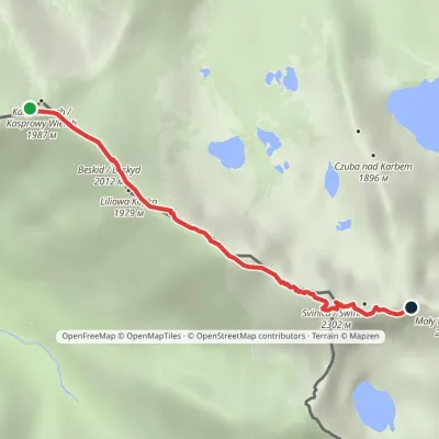 HardOne-dayMarkedKasprowy Wierch Zawratvia ŚwinicaElevation profile1 946–2 257 m3.6 kmascent 397 m≈ 1.5 h walkingunder 1 km from Walentkowy Wierch
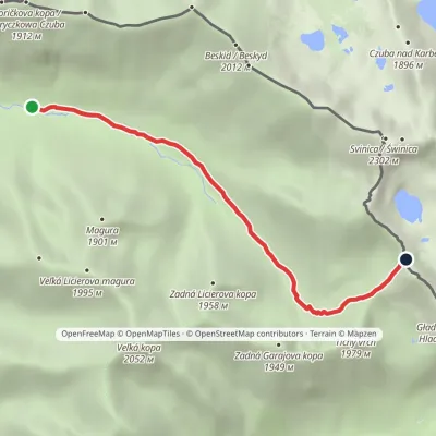 ModerateOne-dayMarkedLiptovský košiar Hladké sedloElevation profile1 275–1 988 m5.3 kmascent 713 m≈ 3 h walkingunder 1 km from Walentkowy Wierch
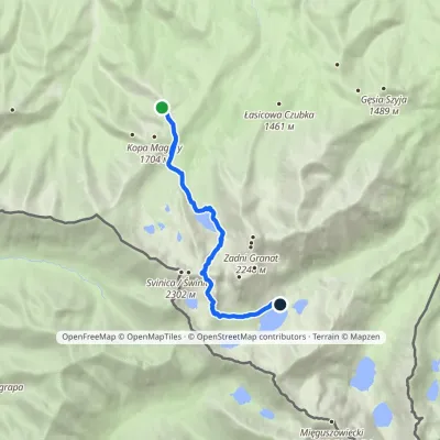 HardOne-dayMarkedPrzełęcz między Kopami Five Polish Ponds Valley Hutvia ZawratElevation profile1 497–2 155 m9 kmascent 709 m≈ 3.5 h walkingunder 1 km from Walentkowy Wierch
Nearby attractions
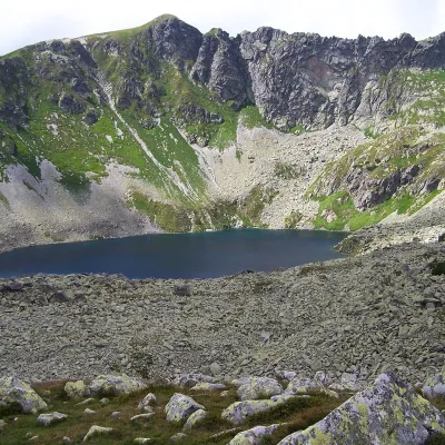 LakeZadni Staw Polskiunder 1 km from Walentkowy WierchZadni Staw Polski (the Rear Polish Pond), or simply Zadni Staw, is a glacial lake in the High Tatras, the highest of the larger lakes of the Valley of the Five Polish...
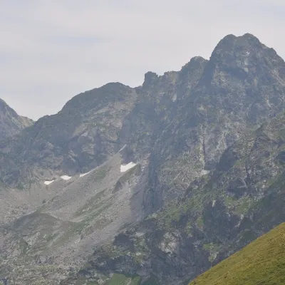 PeakŚwinicaZakopanealtitude 2 302 munder 1 km from Walentkowy Wierch1 trail to the topŚwinica (Slovak: Svinica) is a 2,302 m summit on the main ridge of the Tatra Mountains, right on the Polish–Slovak border.
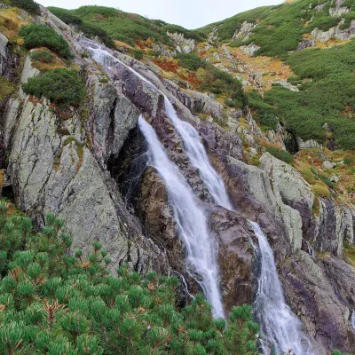 WaterfallWielka Siklawa Waterfall2.7 km from Walentkowy WierchWielka Siklawa (also simply Siklawa) is Poland's highest waterfall. The Roztoka stream, flowing out of Wielki Staw Polski, drops here over the rock step between the...
Craft nearby
All craft places Cheese dairies & pasturesFurtek's Shepherd's Huts, Kuźnice and KalatówkiZakopane7 km from Walentkowy WierchAbove Kuźnice — the southern edge of Zakopane where most hikes into the Western and High Tatras begin — the flocks are tended by baca Andrzej Staszel, nicknamed "Furtek".
 Cheese dairies & pasturesShepherd's Hut on Rusinowa PolanaBrzegi8.2 km from Walentkowy WierchRusinowa Polana is one of the most beautiful mountain glades in the Polish Tatras, and from May to October it is home to the bacówka (shepherd's hut) of baca Stanisław...
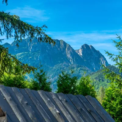 Koliby & Hutsul cuisineBąkowo Zohylina Wyźnio Highland TavernZakopane8.6 km from Walentkowy WierchBąkowo Zohylina Wyźnio is a regional highland tavern in Zakopane housed in a wooden "szałas" (shepherd-hut-style building) with a view of the Tatras.
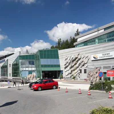 Water parks & thermal poolsTermy Zakopiańskie (Aqua Park Zakopane)Zakopane9.6 km from Walentkowy WierchTermy Zakopiańskie is a thermal water park right in Zakopane, on Jagiellońska Street, only a kilometre from Krupówki.
 Crafts & workshopsSztukomania Studio, Zakopane: handmade ceramics and pottery workshopsZakopane9.6 km from Walentkowy WierchSztukomania is a small ceramics and woodwork studio on Staszica street in Zakopane, a few minutes' walk from Krupówki.
 Cheese dairies & pasturesDom Oscypka, Krupówki, Zakopane: cheese-making workshop with a bacaZakopane9.6 km from Walentkowy WierchDom Oscypka ("House of Oscypek") is a workshop studio on Krupówki in the very centre of Zakopane, where you can see how highland cheese is made from milk and make some...
