Victoria
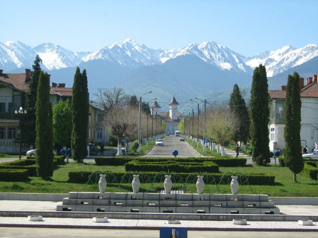
Photos: Victoria: the town centre with the Făgăraș Mountains behind — Luciengav, CC BY-SA 2.5 (Wikimedia Commons)
Victoria is a town in the west of Brașov County, Transylvania, at the foot of the Făgăraș Mountains, 30 km west of the city of Făgăraș and 94 km from Brașov, at about 650 m. The 2021 census counted 6,446 inhabitants.
It is a young town: the settlement, first called Ucea Fabricii, grew around a factory founded between the wars. It has borne its present name since 1954. The town lies halfway between the Olt river to the north and the mountains to the south.
Victoria is a convenient base for ascents: several of the highest Făgăraș summits are quite close. On the site the trail “Victoria – Podragu Hut” starts in the town.
Getting there from Ukraine
The nearest place we have road figures for is Sibiu (≈45 km from here in a straight line): Rakhiv – Sibiu ≈390 km, ≈5 h 33 min (via Solotvyno – Sighetu Marmației); Ivano-Frankivsk – Sibiu ≈524 km, ≈7 h 52 min (via Solotvyno – Sighetu Marmației). Times are without border queues, by our road routing. Romanian national roads require an electronic vignette (rovinieta).
Sources: Wikipedia, Wikidata, OpenStreetMap, Karpaty.rocks data.
What's nearby
Trails nearby
All trails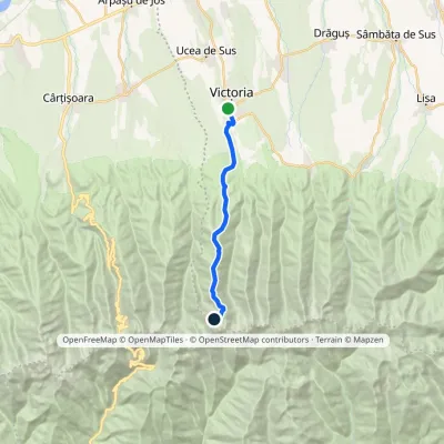 HardTwo-dayMarkedVictoria Podragu HutElevation profile567–2 189 m15.6 kmascent 1 705 m≈ 7.5 h walkingunder 1 km from the centre
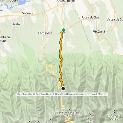 ModerateOne-dayMarkedArpașu de Sus Buteanu RidgeElevation profile490–1 753 m12.2 kmascent 1 264 m≈ 5.5 h walking6.4 km from the centre
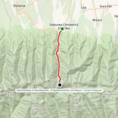 HardTwo-dayMarkedSâmbăta Tourist Complex Fereastra Mare a SâmbeteiElevation profile667–2 177 m11.5 kmascent 1 511 m≈ 6 h walking8.6 km from the centre
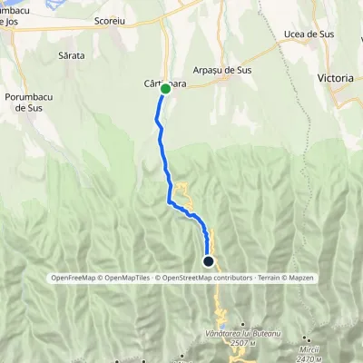 ModerateOne-dayMarkedCârțișoara Bâlea Cascadă HutElevation profile495–1 242 m12 kmascent 749 m≈ 4.5 h walking9.8 km from the centre
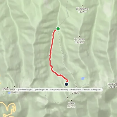 ModerateOne-dayMarkedGura Podragului Șaua dintre LacuriElevation profile1 083–2 078 m5.4 kmascent 995 m≈ 3.5 h walking10 km from the centre
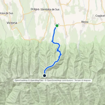 HardTwo-dayMarkedLisa Făgăraș main ridgevia Cațaveiu RefugeElevation profile546–2 343 m19.7 kmascent 1 803 m≈ 8.5 h walking11 km from the centre
Peaks nearby
All peaks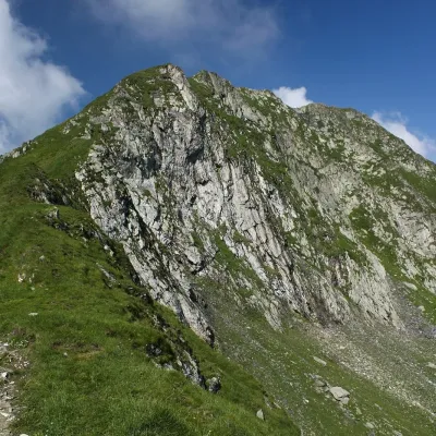 PeakPodragualtitude 2 462 m14 km from the centre1 trail to the topPodragu (Romanian Vârful Podragu) is a 2,462 m summit in the central Făgăraș Mountains, where the borders of three counties – Brașov, Argeș and Sibiu – meet.
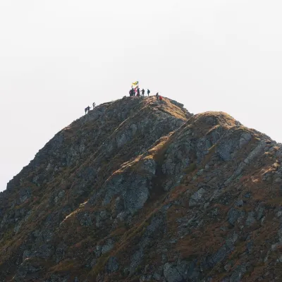
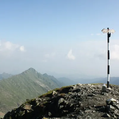 PeakViștea Marealtitude 2 527 m14 km from the centre1 trail to the topViștea Mare (Romanian: Vârful Viștea Mare, Hungarian: Nagy-Vist) is a 2,527 m summit on the main ridge of the Făgăraș Mountains in the Southern Carpathians.
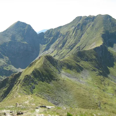
 PeakMoldoveanualtitude 2 544 m15 km from the centre2 trails to the topMoldoveanu (Romanian: Vârful Moldoveanu) is the highest peak of Romania and of the whole Southern Carpathians, 2,544 m above sea level.
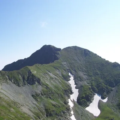
 PeakArpașul Marealtitude 2 468 m15 km from the centre1 trail to the topArpașul Mare (Romanian Vârful Arpașul Mare, also Arpașu Mare or Vârtopul) is a 2,468 m summit on the main ridge of the Făgăraș Mountains, on the border of Sibiu and...
 PeakVânătarea lui Buteanualtitude 2 507 m15 km from the centreVânătarea lui Buteanu (Romanian: Vârful Vânătarea lui Buteanu, often also Vânătoarea lui Buteanu) is a 2,507 m summit in the Făgăraș Mountains of the Southern...
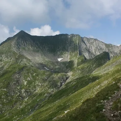 PeakMirciialtitude 2 470 m15 km from the centre1 trail to the topMircii (Romanian Vârful Mircii) is a 2,470 m summit in the central part of the Făgăraș Mountains, in Argeș County.
What to visit
All
Huts, shelters and springs nearby
Getting there from Ukraine
Border crossings
- Porubne – Siret — road and pedestrian, 24/7
- Diakivtsi – Racovăț — road and pedestrian, 24/7 No freight traffic.
- Krasnoilsk – Vicovu de Sus — road and pedestrian, 08:00–20:00 Cars up to 3.5 t and pedestrians only; not 24/7.
- Solotvyno – Sighetu Marmației — road and pedestrian, 24/7 Passenger traffic only: vehicles up to 3.5 t with up to 9 seats, pedestrians.
- Diakove – Halmeu — road, 24/7 No pedestrian crossing.
By car
Rakhiv – Sibiu ≈390 km, ≈5 h 33 min (via Solotvyno – Sighetu Marmației); Ivano-Frankivsk – Sibiu ≈524 km, ≈7 h 52 min (via Solotvyno – Sighetu Marmației); Chernivtsi – Sibiu ≈435 km, ≈8 h 00 min (via Diakivtsi – Racovăț). Times without border queues, our road routing (GraphHopper, OSM).
Checked 03.11.2026; border crossing hours and timetables change — check before you travel.
