Tymbark
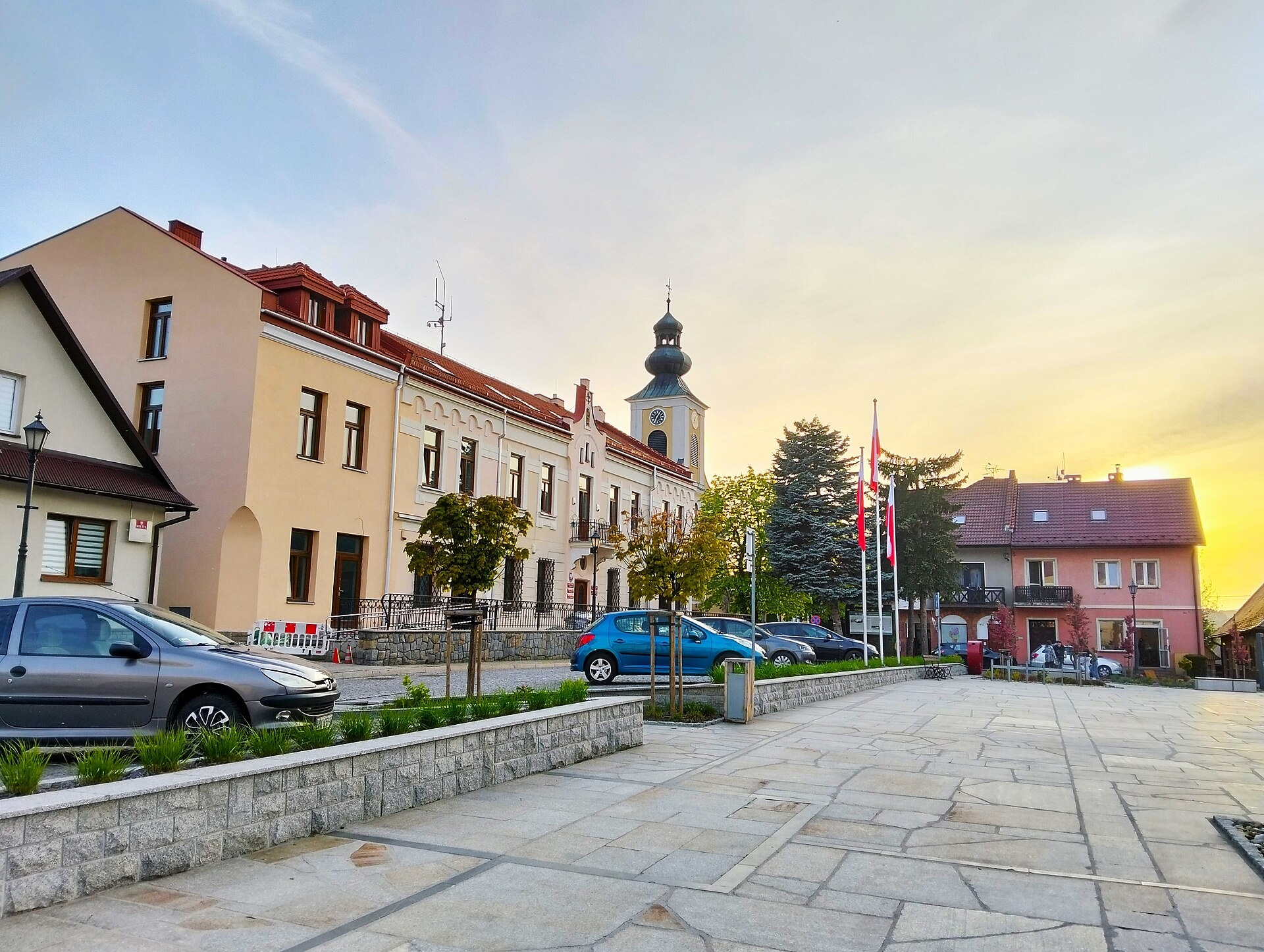

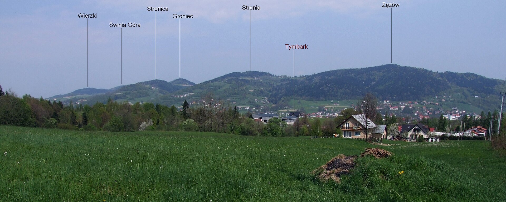
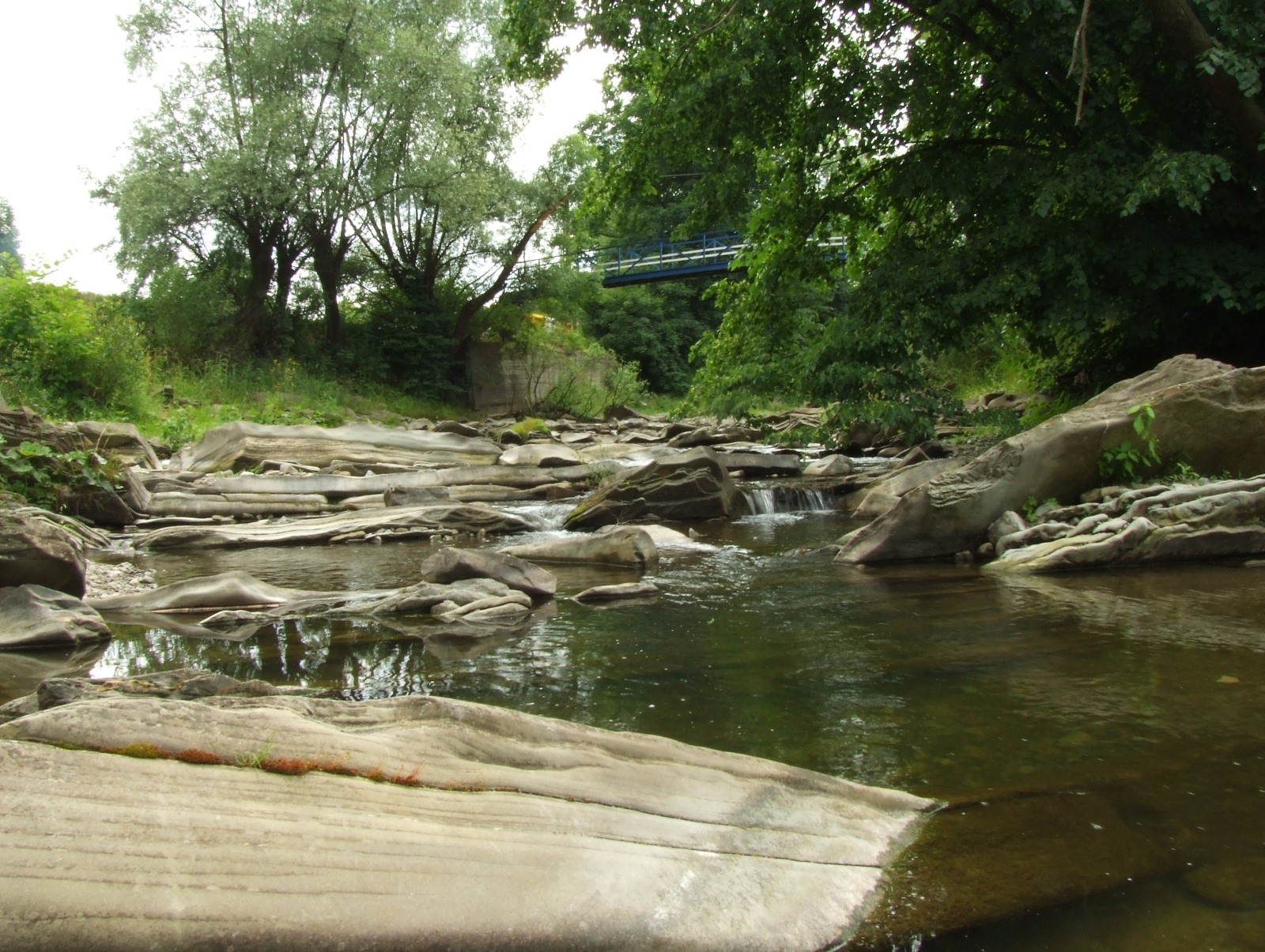
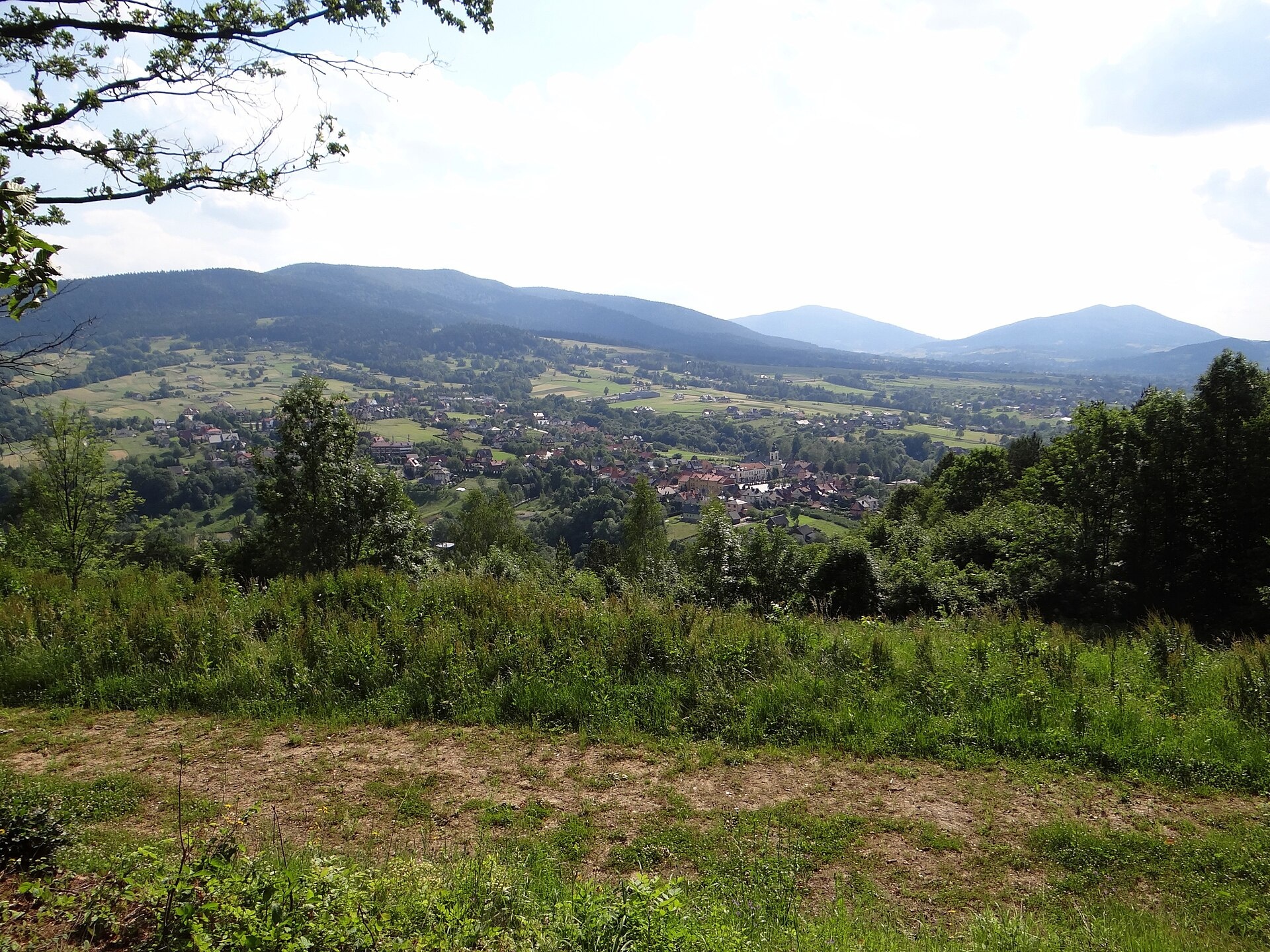
Photos: MOs810, CC BY 4.0 (Wikimedia Commons); Paweł Opioła, CC BY-SA 4.0 (Wikimedia Commons); Jerzy Opioła, CC BY-SA 4.0 (Wikimedia Commons); Paweł Opioła, CC BY-SA 4.0 (Wikimedia Commons); Jerzy Opioła, CC BY-SA 3.0 (Wikimedia Commons); Jery Opioła, CC BY-SA 4.0 (Wikimedia Commons)
Tymbark is a village in Poland, serving as the administrative centre of Gmina Tymbark in Limanowa County, Lesser Poland Voivodeship. It lies at 427 metres above sea level in the central part of the Island Beskids, in the valley of the Łososina River and the lower part of the Słopniczanka, as well as on the slopes of Paproć, Zęzów, and Łopień hills. The village is located about 10 km west of Limanowa and less than 66 km southeast of Kraków.
Tymbark was founded as a royal town by King Casimir III the Great in 1353 under Magdeburg Law, and granted city rights in 1357. Its original name was Jodłowa Góra, later Germanised to Tannenberg, with the current name used from the 16th century. Tymbark lost its city status in 1934. The parish church features historic items such as the "Urban" bell (1536) and a stone font from 1541.
Tymbark is known for its picturesque Island Beskids landscapes, historic sites including the Church of the Nativity of the Blessed Virgin Mary, the town hall, a manor complex with a park, numerous chapels, and the production of juices and drinks under the Tymbark brand. The local football club is Harnaś Tymbark. The village attracts nature lovers and travellers interested in culture and history.
Visitors can explore a variety of hiking trails such as "Bochnia – Tymbark", "Gruszowiec – Śnieżnica", "Mały Krzysztanów – Kowaniec", "Leopold Węgrzynowicz Trail", and "Skrydlanski Robbers' Trail". Notable peaks nearby include Mogielica, Cwilin, and Śnieżnica. There are shelters like Schronisko na Zadziele and the Youth Shelter in Rozdziele. The Cistercian Monastery Shop in Szczyrzyc offers cheese, milk, and "Gryf" beer.
Getting there from Ukraine
Lviv – Nowy Sącz ≈335 km, ≈4 h 25 min without queues: M-10 to Krakovets → Krakovets – Korczowa → toll-free A4 via Rzeszów and Tarnów to Brzesko (≈198 km) → DK75 to Nowy Sącz (≈47 km). ≈257 km, ≈3 h from the border. Via Shehyni – Medyka (Przemyśl, DK28, DK77 to the A4) ≈348 km, ≈4 h 50 min.
Sources: Wikipedia, Wikidata, OpenStreetMap, Karpaty.rocks data. More on Wikipedia
Trails nearby
All trails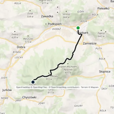 EasyOne-dayMarkedTymbark ŁopieńElevation profile392–961 m8 kmascent 590 m≈ 3 h walkingunder 1 km from the centre
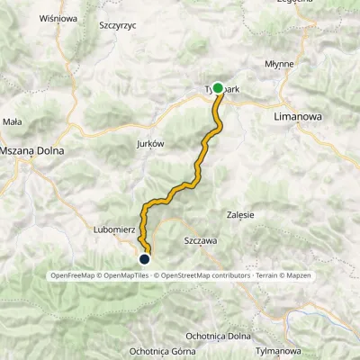 HardTwo-dayMarkedTymbark Lubomierz RzekiElevation profile392–1 171 m22.5 kmascent 1 107 m≈ 8 h walkingunder 1 km from the centre
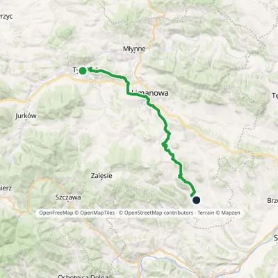 HardTwo-dayMarkedTymbark ŁukowicaElevation profile388–803 m26.6 kmascent 1 020 m≈ 8.5 h walkingunder 1 km from the centre
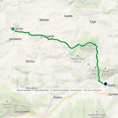 ModerateOne-dayMarkedSzczyrzyc TymbarkElevation profile328–739 m15.5 kmascent 719 m≈ 5.5 h walkingunder 1 km from the centre
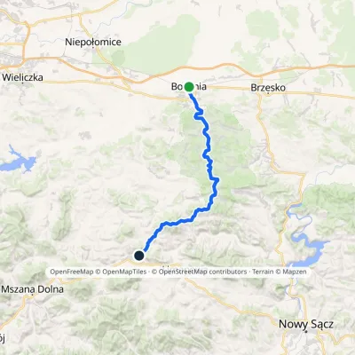 HardMulti-dayMarkedBochnia TymbarkElevation profile206–775 m44.5 kmascent 1 321 m≈ 14 h walkingunder 1 km from the centre
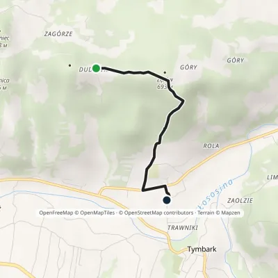 EasyOne-dayMarkedZęzów TymbarkElevation profile400–696 m2.6 kmascent 67 m≈ 45 min walkingunder 1 km from the centre
Peaks nearby
All peaks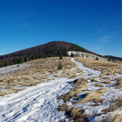 PeakMogielicaChyszówkialtitude 1 171 m8.9 km from the centreMogielica is the highest summit of the Island Beskids (Beskid Wyspowy), 1,171 m high, and one of the mountains of the Crown of Polish Mountains.
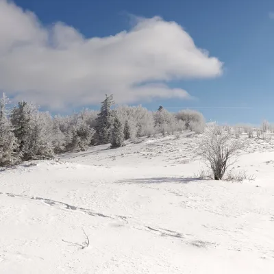 PeakĆwilinGruszowiecaltitude 1 072 m11 km from the centreĆwilin is a 1,072 m summit, the second-highest mountain of the Island Beskids. Its name was given in the 14th century by German settlers in Tymbark and Jurków: it...
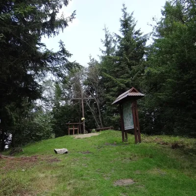 PeakŚnieżnicaGruszowiecaltitude 1 007 m11 km from the centreŚnieżnica is a 1007 m mountain in the Island Beskids (Beskid Wyspowy) in Lesser Poland Voivodeship, southern Poland.
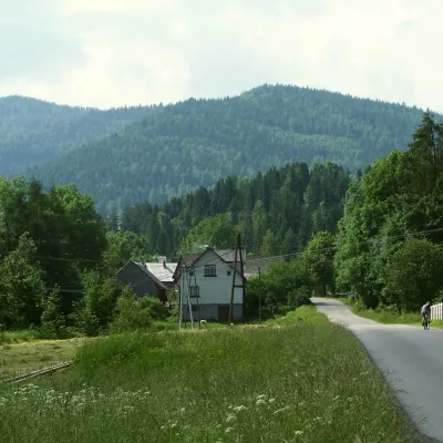 PeakJasieńPółrzeczkialtitude 1 063 m13 km from the centreJasień is a summit about 1,063 m high in the Island Beskids (Beskid Wyspowy) in southern Poland, in Limanowa County of the Lesser Poland Voivodeship.
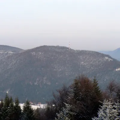 PeakKiczora KamienickaSzczawaaltitude 1 003 m15 km from the centreKiczora Kamienicka (also simply Kiczora) is a summit 1,003 m high (other sources give 1,007 m) on the border of the Island Beskids and the Gorce in southern Poland.
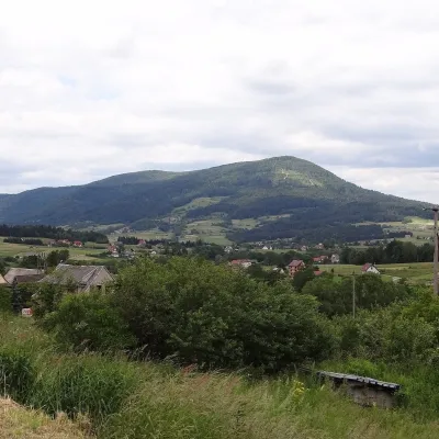 PeakLubogoszczMszana Dolnaaltitude 968 m16 km from the centreLubogoszcz (Górale dialect: Libogosc) is a prominent 968 m summit in the Island Beskids (Beskid Wyspowy) in southern Lesser Poland.
What to visit
All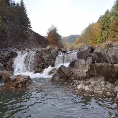 WaterfallSpad Waterfall, SzczawaSzczawa12 km from the centreSpad is a natural waterfall on the Kamienica Gorczańska, a left tributary of the Dunajec, in the village of Szczawa on the border of the Gorce and the Island Beskids ...
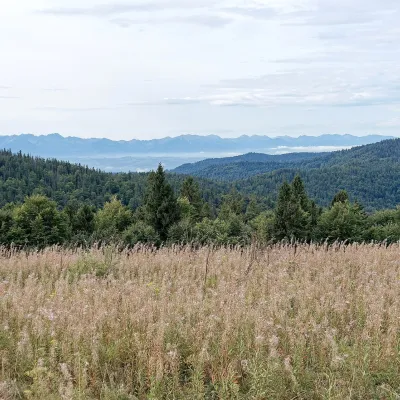 Mountain meadowGorc Kamienicki GladeZasadnealtitude 1 150 m18 km from the centrePolana Gorc Kamienicki is a mountain glade on the northern ridge of Gorc (1,228 m) in the eastern Gorce, at 1,120–1,150 m.
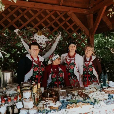 Markets & fairsFruit Harvest Festival in Łącko: village stands, fruit and folkloreŁącko20 km from the centreŁącko, in the Dunajec valley between Stary Sącz and the Pieniny, is one of Poland's best-known fruit-growing areas: the slopes around are covered with apple, pear and...
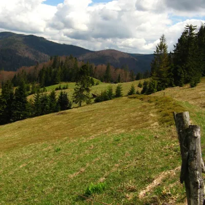 Mountain meadowTurbaczyk GladeKoninaaltitude 1 025 m22 km from the centreTurbaczyk is a summit meadow on the mountain of the same name in the Gorce, on the northern side of the Turbacz massif.
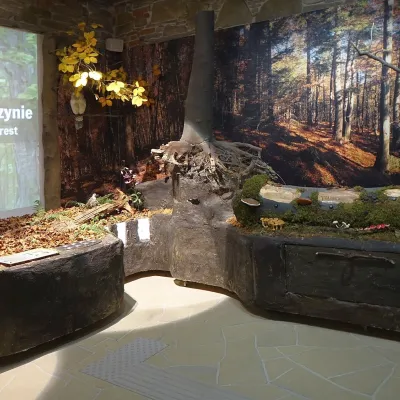 MuseumGorce National Park Nature Exhibition, Poręba WielkaPoręba Wielka22 km from the centreThe Gorce National Park Nature Exhibition (Wystawa Przyrodnicza w Ośrodku Edukacyjnym GPN) is the main attraction of the park's Education Centre in Poręba Wielka, in...
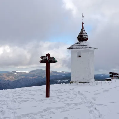 Mountain meadowPolana Jaworzyna KamienickaLubomierzaltitude 1 265 m23 km from the centrePolana Jaworzyna Kamienicka (also simply Jaworzyna) is a mountain glade on the north-eastern slope of Jaworzyna Kamienicka (1,288 m), the second-highest peak of the...
Craft nearby
All craft places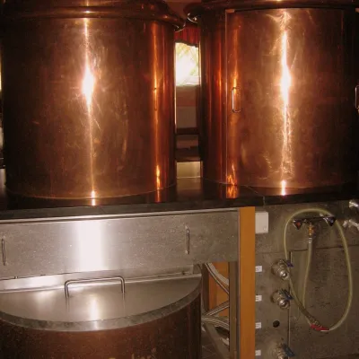 Craft shopsCistercian monastery shop, Szczyrzyc: abbey cheese, milk and Gryf beerSzczyrzyc12 km from the centreIts heart is the Cistercian abbey: the monks arrived in the first half of the 13th century and, according to the monastery itself, have lived here without interruption...
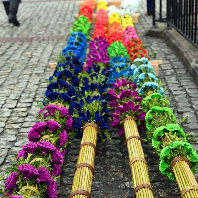 Markets & fairsLipnica Murowana Palm Contest: giant Easter palms and fairLipnica Murowana20 km from the centreLipnica Murowana is a tiny historic town on the Wiśnicz Foothills, among orchards and hills between Bochnia and Limanowa.
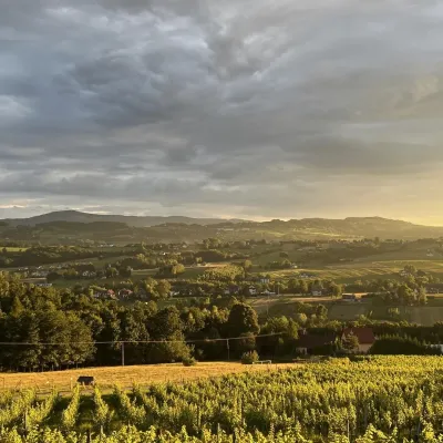 Wine & tastingsWinnica Nowizny, Połom Mały: wine from an 1891 cellarPorąbka Iwkowska22 km from the centreWinnica Nowizny is a family farm in the village of Połom Mały, Iwkowa municipality, in the Rożnów Foothills of Lesser Poland, north of Nowy Sącz and Lake Rożnów.
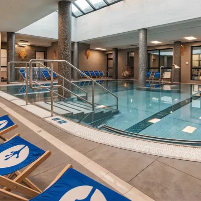 Water parks & thermal poolsTermy Gorce thermal bathsNiedźwiedź22 km from the centreTermy Gorce is a small, cosy thermal complex in the village of Poręba Wielka, in the municipality of Niedźwiedź, at the foot of the Gorce Mountains.
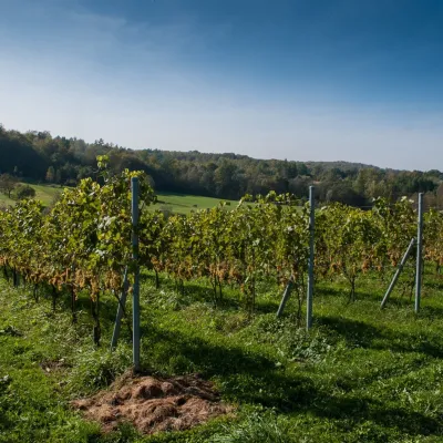 Wine & tastingsWinnica Chronów: natural wines where the Island Beskids beginChronów25 km from the centreWinnica Chronów lies where the Island Beskids (Beskid Wyspowy) begin, on the edge of the Wiśnicz-Lipnica Landscape Park, in the small village of Chronów in the Nowy...
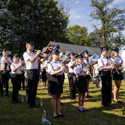 Markets & fairsFasolowe Żniwa in Rożnów: the Piękny Jaś bean harvest festivalRożnów26 km from the centreThe Dunajec valley around Lake Rożnów is famous for the large white “Piękny Jaś” (Beautiful Johnny) bean. “Fasola Piękny Jaś z Doliny Dunajca” holds EU Protected...
Spas and thermal pools nearby
Water parks & thermal poolsTermy Gorce thermal bathsNiedźwiedź22 km from the centreTermy Gorce is a small, cosy thermal complex in the village of Poręba Wielka, in the municipality of Niedźwiedź, at the foot of the Gorce Mountains.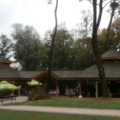 Water parks & thermal poolsRabka-Zdrój spa: brine graduation tower, pump rooms, treatmentsRabka-Zdrój30 km from the centreRabka-Zdrój is a spa in the Raba valley between the Gorce, the Beskid Wyspowy and the Beskid Makowski, halfway from Kraków to Zakopane.
Huts, shelters and springs nearby
Getting there from Ukraine
Border crossings
- Krakovets – Korczowa — road, 24/7
- Shehyni – Medyka — road, 24/7 Pedestrian crossing is not confirmed by the Ukrainian border service — check dpsu.gov.ua before the trip.
- Smilnytsia – Krościenko — road, 24/7
- Hrushiv – Budomierz — road, 24/7
- Mostyska – Przemyśl (rail) — rail, 24/7
By car
Lviv – Nowy Sącz ≈335 km, ≈4 h 25 min without queues: M-10 to Krakovets → Krakovets – Korczowa → toll-free A4 via Rzeszów and Tarnów to Brzesko (≈198 km) → DK75 to Nowy Sącz (≈47 km). ≈257 km, ≈3 h from the border. Via Shehyni – Medyka (Przemyśl, DK28, DK77 to the A4) ≈348 km, ≈4 h 50 min.
Checked 23.10.2026; border crossing hours and timetables change — check before you travel.
