Tomanowy Wierch Polski
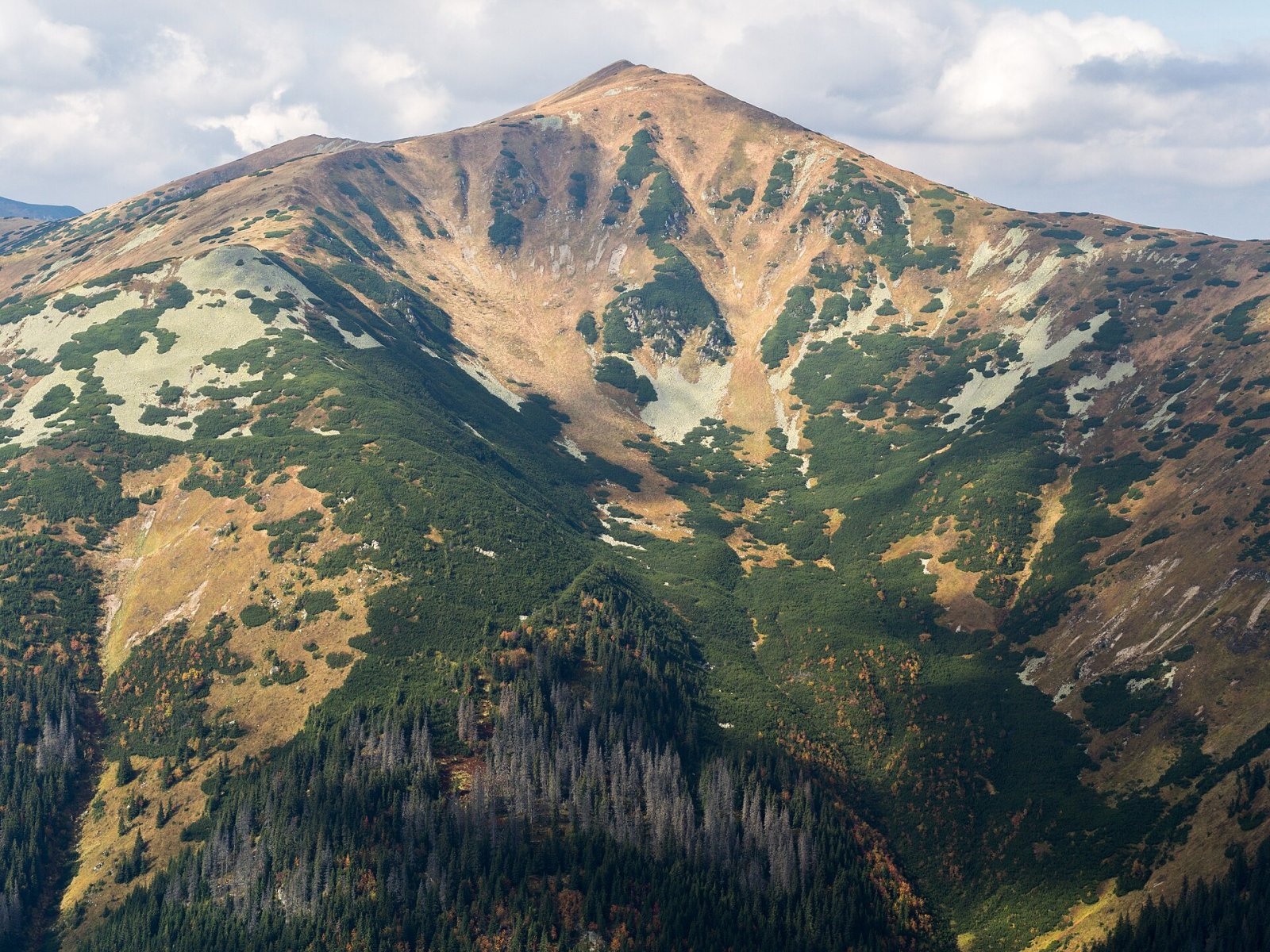
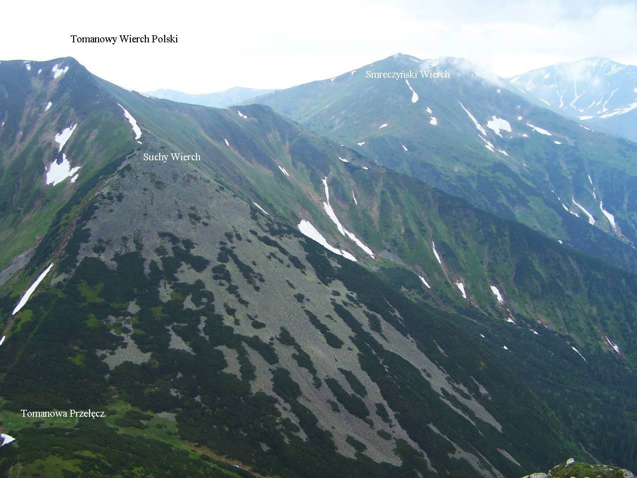
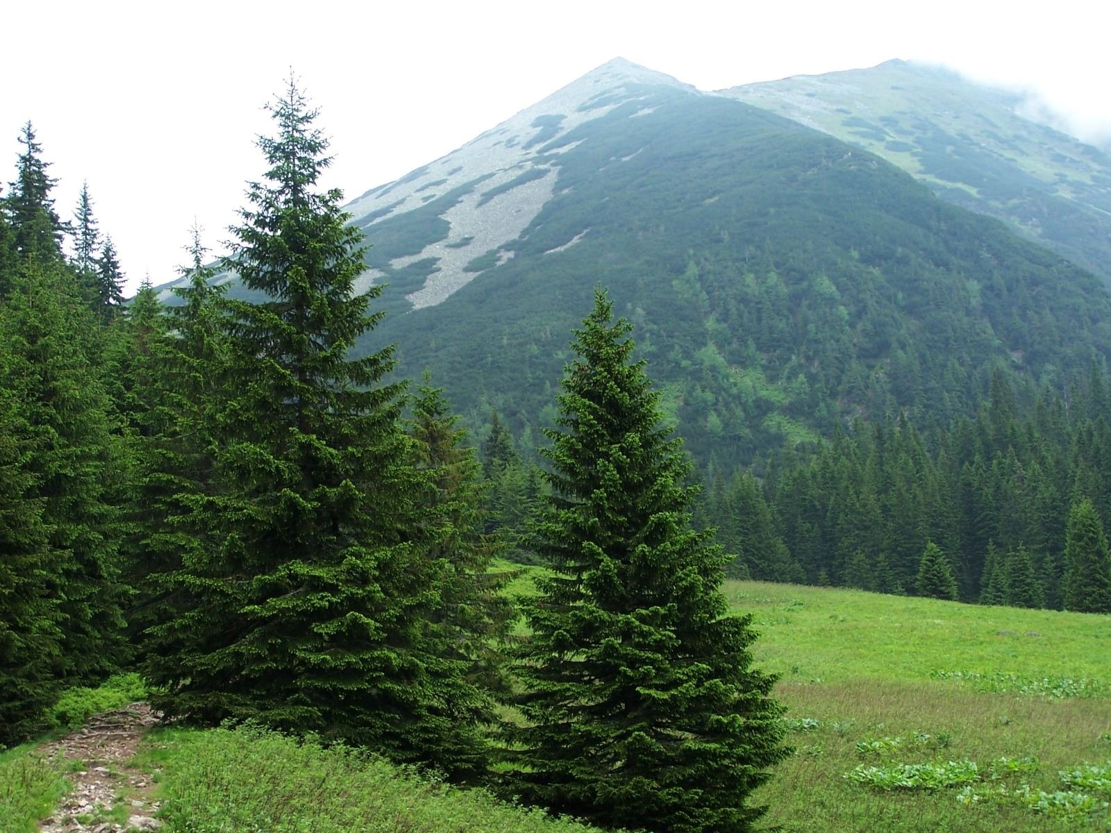
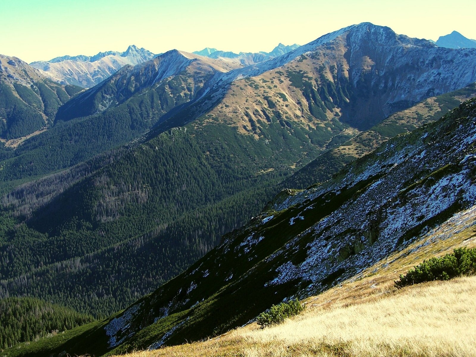
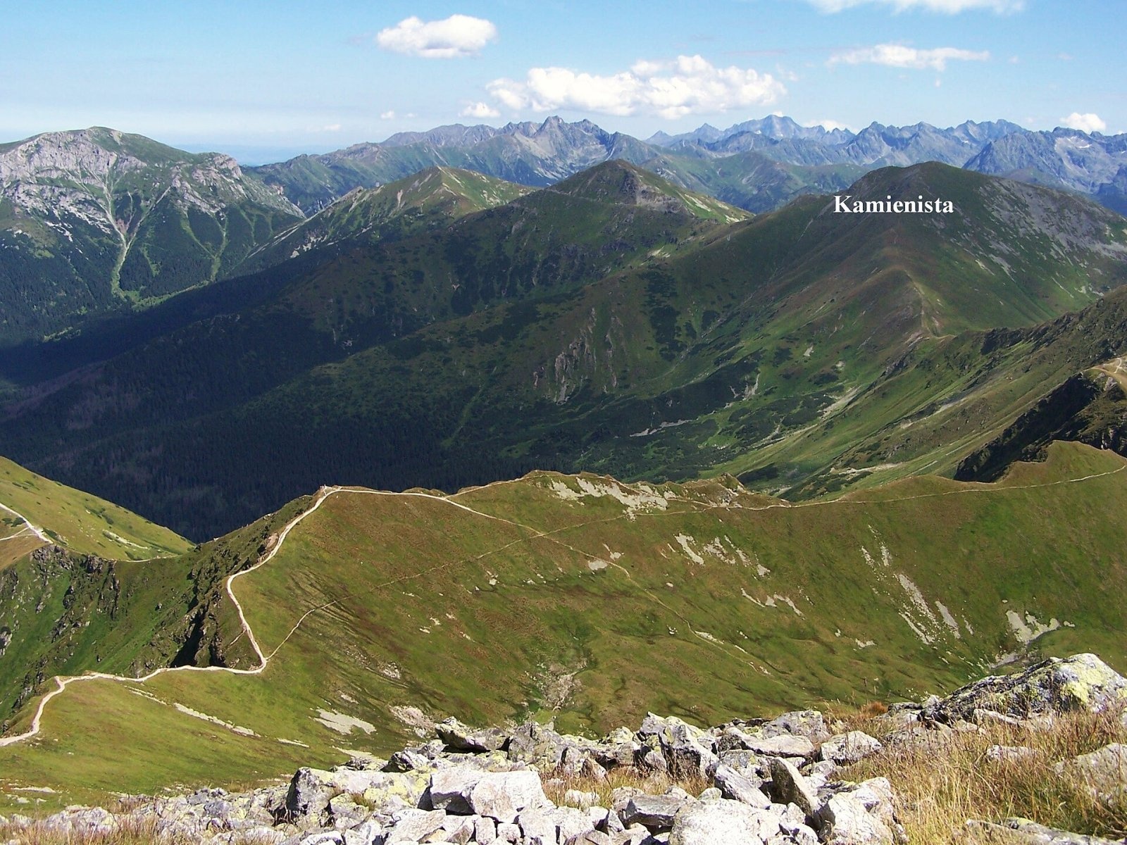
Tomanowy Wierch Polski (Slovak: Poľská Tomanová, "Polish Tomanová") is a 1,977 m summit in the Western Tatras, on the main Tatra ridge along the Polish–Slovak border. The summit is closed to visitors: it and its whole surroundings form a strict nature reserve, and no marked trails lead here. The north-western slopes belong to the commune of Kościelisko in Tatra County, the eastern and southern ones to the town of Vysoké Tatry in the Prešov Region; the nearest settlements are Kościelisko and Zakopane to the north and Podbanské and Pribylina on the Slovak side. Liptovský Hrádok lies about 22 km to the south-west.
The summit sits at a bend of the main ridge. To the north, the lower Suchy Wierch Tomanowy and the Tomanowa Pass (about 1,686 m) separate it from Ciemniak in the Czerwone Wierchy — here the Czerwone Wierchy end and the Liptov Tatras begin. To the west, the Smreczyńska Pass (1,796 m) separates it from Smreczyński Wierch; between them is the minor top of Tomanowa Kopa, from which the Zadni Smreczyński Grzbiet branches off. Tomanowy Wierch is a junction peak: a spur runs east to Liptovská Tomanová (1,839 m) and the Hlinský hrebeň runs south. The summit rises above four small valleys — glacial cirques that form the upper levels of two major valleys, the Kościeliska and the Tichá. Water from the Polish side flows to the Czarny Dunajec and the Vistula, from the Slovak side via the Tichý potok to the Váh.
How to get there / trails
There are no marked trails to the summit, and entry is prohibited under the rules of both national parks. The nearest marked routes pass nearby: on the Polish side the green trail from the Hala Ornak hut up the Tomanowa Valley and Czerwony Żleb to Ciemniak, on the Slovak side the yellow trail along the Tichá dolina. The summit is well seen from them, but leaving the marked paths is not allowed.
The view from the top
Slovak sources describe an all-round view from the grassy, rocky summit: many peaks of the Western and High Tatras, the surrounding valleys and, in good weather, the eastern Low Tatras with Kráľova hoľa and the Orava Beskids. Nearby stand Ciemniak, Krzesanica, Smreczyński Wierch, Kamienista and Liptovská Tomanová.
Nature and history
The mountain is built of alaskite and metamorphic rocks, and its slopes are stony. Large avalanche gullies fall from the summit on several sides — the Široký, Suchý and Javorový gullies in Slovakia and the Suchy Tomanowski Żleb in Poland. The Slovak slopes lie in the Tichá dolina National Nature Reserve within the Tatra National Park (TANAP), the Polish slopes in the Tatra National Park (TPN).
The name has been known for a very long time: royal grants of 1615 already mention a "Tomanowa Góra", and the mountain was also called Tomanowa Polska. The first recorded ascent was made by the geologist Ludwik Zejszner in 1838, and the first winter ascent by skiers of the ZON society in 1910.
Safety, season and rules
The summit lies in a strictly protected zone and cannot be visited in any season — enjoy it from the marked trails to Ciemniak or along the Tichá dolina. On the Slovak side TANAP's high-mountain trails are closed every year from 1 November until late spring; on the Polish side the surrounding slopes carry a high avalanche risk in winter and spring.
Rescue on the Polish side is TOPR: 985 or +48 601 100 300; on the Slovak side HZS: 18 300 (+421 18 300); 112 works everywhere.
Photos: Rafał Kozubek, CC BY-SA 4.0; Opioła Jerzy, CC BY 2.5; Opioła Jerzy, CC BY 2.5; Jerzy Opioła, CC BY-SA 4.0; Opioła Jerzy, CC BY 2.5 — Wikimedia Commons.
Getting there from Ukraine
Border crossings
- Krakovets – Korczowa — road, 24/7
- Shehyni – Medyka — road, 24/7 Pedestrian crossing is not confirmed by the Ukrainian border service — check dpsu.gov.ua before the trip.
- Smilnytsia – Krościenko — road, 24/7
- Hrushiv – Budomierz — road, 24/7
- Mostyska – Przemyśl (rail) — rail, 24/7
By car
Lviv – Zakopane ≈421 km, ≈5 h 10 min without border queues. Route: M-10 Lviv – Krakovets → Krakovets – Korczowa checkpoint → A4 motorway (Rzeszów – Tarnów – Kraków) → Kraków southern bypass → S7/DK7 → DK47 ('Zakopianka') via Nowy Targ → Zakopane. The A4 Katowice – Kraków section (Balice and Mysłowice toll plazas) is tolled, but this route does not use it. In summer and at weekends the DK47 near Zakopane is often congested.
Checked 23.10.2026; border crossing hours and timetables change — check before you travel.
Location on the map
Water and shelter nearby
- Spring below Głazista Turnia / Stoly1.2 km · Not verified · 1 570 m
- Spring below Hlina1.5 km · Not verified · 1 448 m
- Spring below Liptovská Tomanová1.5 km · Not verified · 1 444 m
- Občasná Spring2.5 km · Not verified · 1 473 m
- Spring below Malá Licierova Magura2.5 km · Not verified · 1 224 m
Comments
Trails nearby
All trails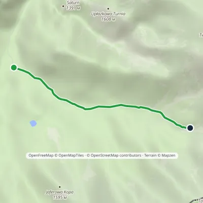 EasyOne-dayMarkedHala Ornak Tomanowy PotokElevation profile1 125–1 480 m2.9 kmascent 355 m≈ 1.5 h walking1 km from Tomanowy Wierch Polski
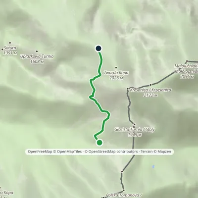 ModerateOne-dayMarkedTomanowy Potok Chuda PrzełączkaElevation profile1 480–1 872 m2.4 kmascent 392 m≈ 1.5 h walking1 km from Tomanowy Wierch Polski
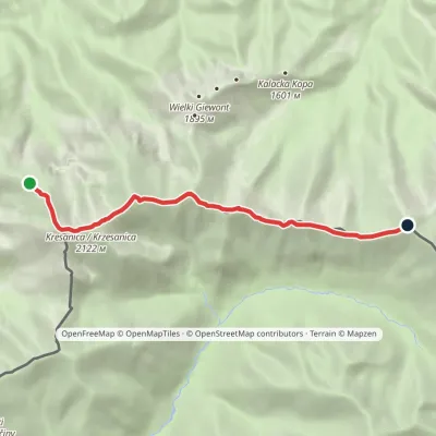 HardOne-dayMarkedCzerwone Wierchy: Chuda Przełączka Kasprowy WierchElevation profile1 738–2 122 m7.7 kmascent 776 m≈ 3.5 h walking2 km from Tomanowy Wierch Polski
Nearby attractions
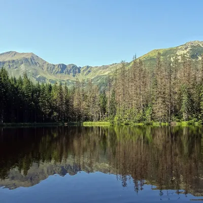 LakeSmreczyński Staw LakeKościelisko3 km from Tomanowy Wierch PolskiSmreczyński Staw is a small glacial lake in the upper part of the Kościeliska Valley, at the mouth of the Pyszniańska Valley, at 1,226 m.
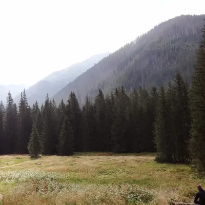 Mountain meadowHala OrnakKościeliskoaltitude 1 100 m3.6 km from Tomanowy Wierch PolskiHala Ornak is a former shepherds' pasture in the upper part of the Kościeliska Valley in the Western Tatras, inside the Tatra National Park (TPN).
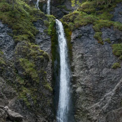 WaterfallSiklawica WaterfallZakopane5.5 km from Tomanowy Wierch PolskiSiklawica (also Siklawica Strążyska) is a waterfall in the Western Tatras, in the upper part of the Strążyska Valley (strictly speaking in its branch called Mała...
Craft nearby
All craft places Cheese dairies & pasturesShepherd's Hut in the Kościeliska ValleyKościelisko6.4 km from Tomanowy Wierch PolskiJózef Słodyczka's bacówka (shepherd's hut) on the Wyżnia Kira Miętusia glade is probably the most easily reached shepherds' hut in the Polish Tatras.
 Cheese dairies & pasturesShepherds' Huts on Polana ChochołowskaKościelisko8.4 km from Tomanowy Wierch PolskiPolana Chochołowska is the largest glade in the Polish Tatras and one of the largest in the whole range.
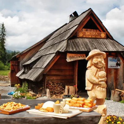 Cheese dairies & pasturesBiały Potok Shepherd's Hut, Witów: oscypek and cheese workshopsKościelisko8.7 km from Tomanowy Wierch PolskiBiały Potok meadow in the village of Witów lies between the entrances to two of the most visited Tatra valleys, Chochołowska and Kościeliska.
 Cheese dairies & pasturesFurtek's Shepherd's Huts, Kuźnice and KalatówkiZakopane8.9 km from Tomanowy Wierch PolskiAbove Kuźnice — the southern edge of Zakopane where most hikes into the Western and High Tatras begin — the flocks are tended by baca Andrzej Staszel, nicknamed "Furtek".
 Koliby & Hutsul cuisineBąkowo Zohylina Wyźnio Highland TavernZakopane9.1 km from Tomanowy Wierch PolskiBąkowo Zohylina Wyźnio is a regional highland tavern in Zakopane housed in a wooden "szałas" (shepherd-hut-style building) with a view of the Tatras.
 Cheese dairies & pasturesDom Oscypka, Krupówki, Zakopane: cheese-making workshop with a bacaZakopane9.7 km from Tomanowy Wierch PolskiDom Oscypka ("House of Oscypek") is a workshop studio on Krupówki in the very centre of Zakopane, where you can see how highland cheese is made from milk and make some...
