Wola Michowa
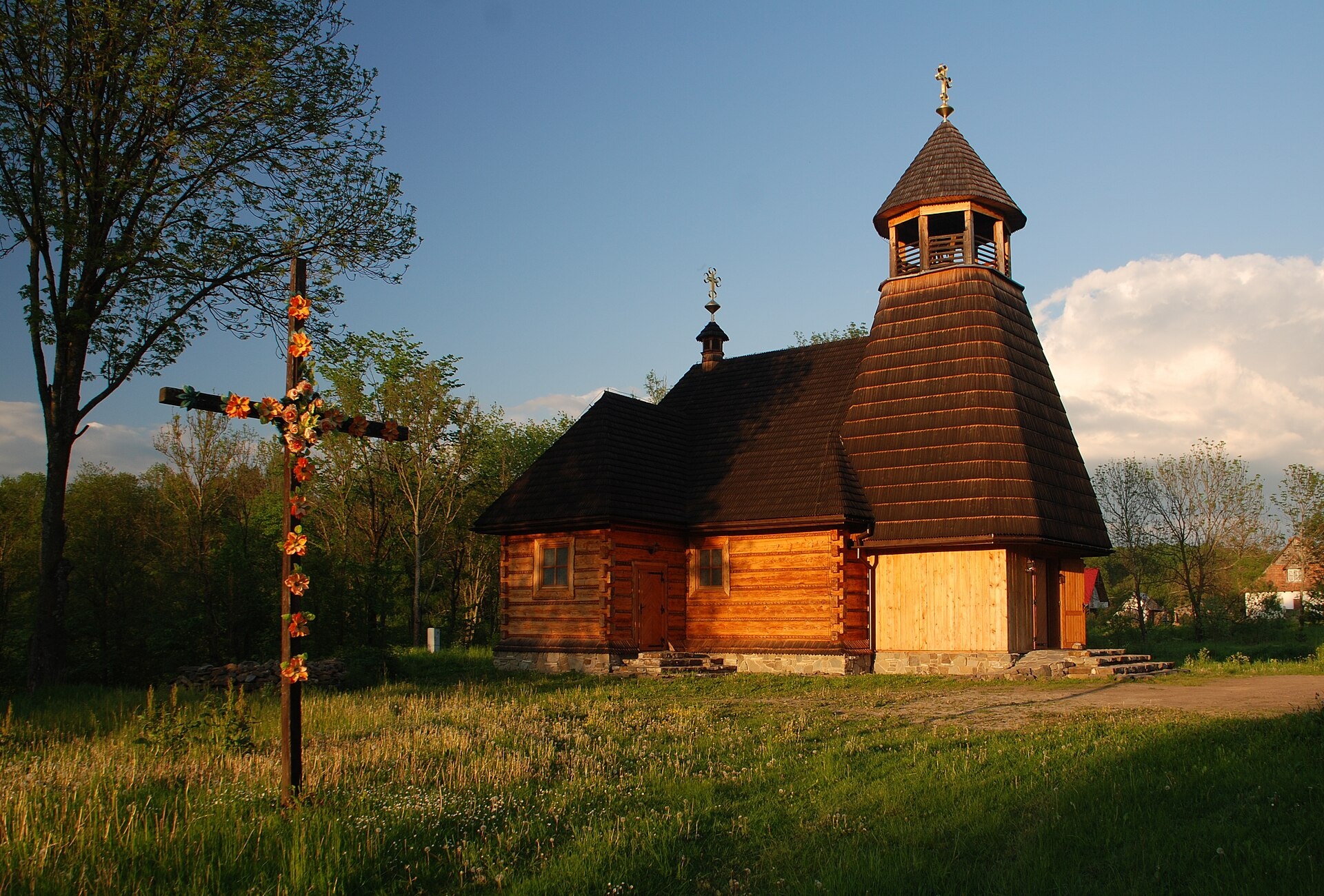
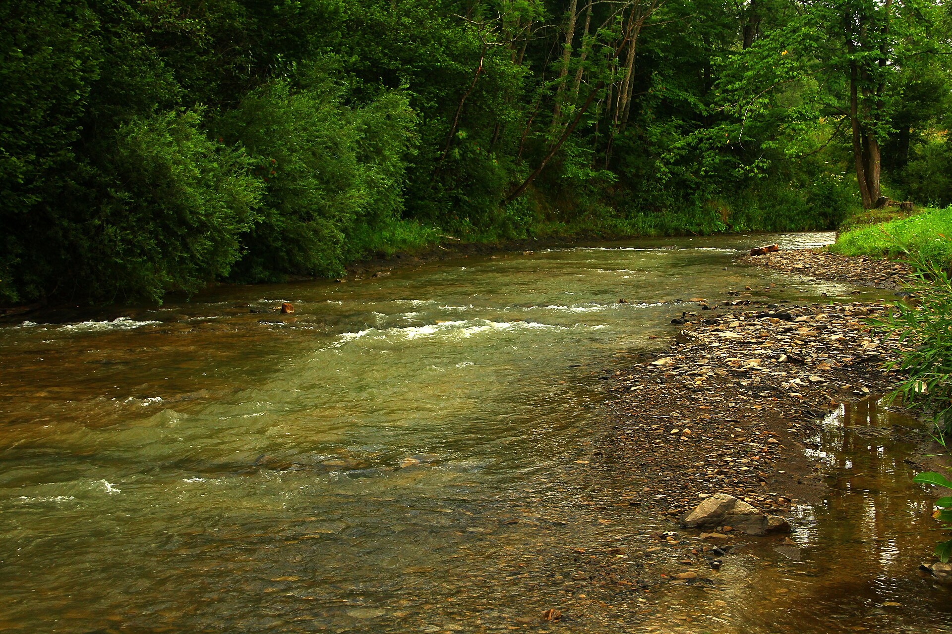
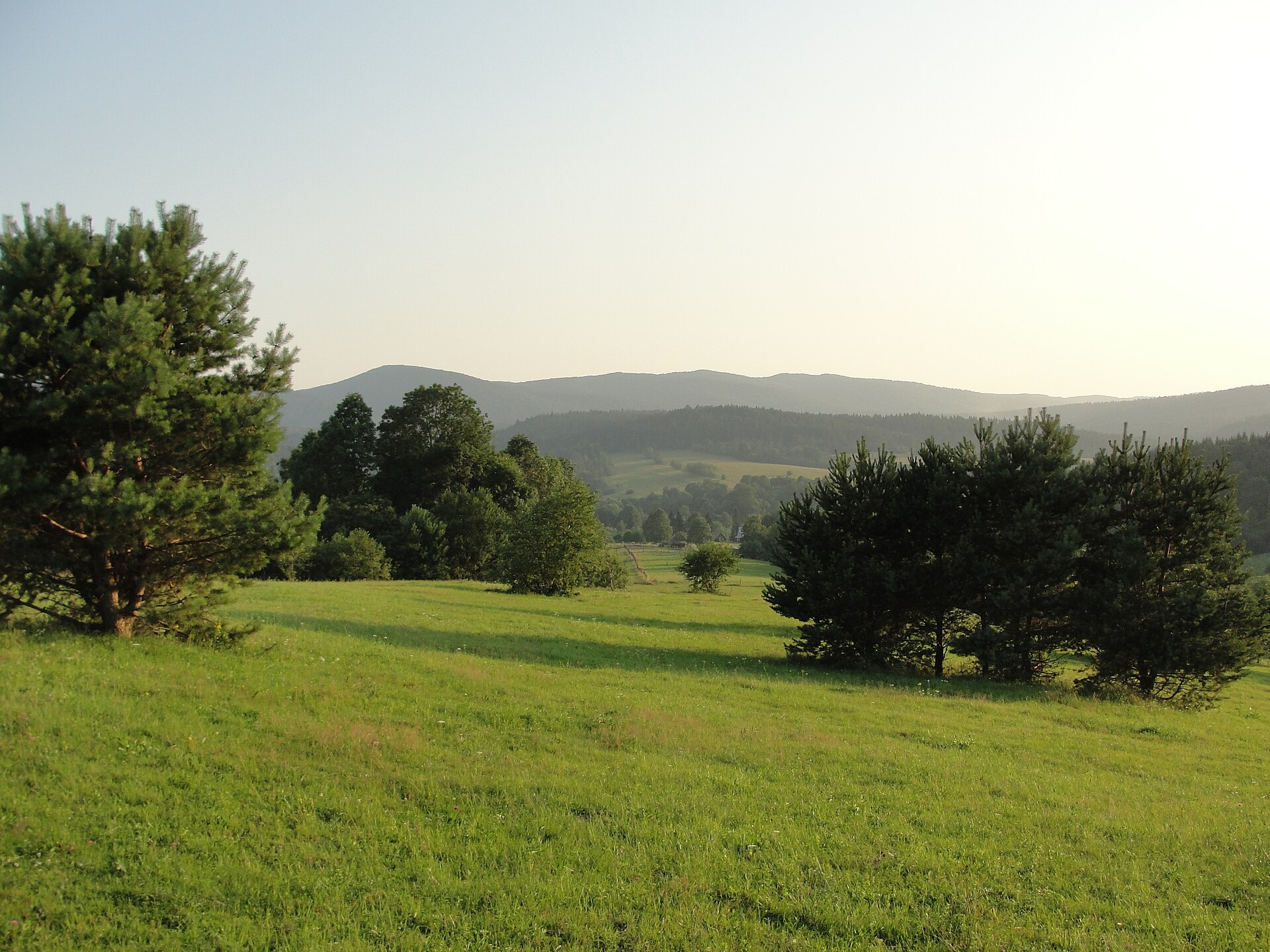
Photos: Henryk Bielamowicz, CC BY-SA 3.0 pl (Wikimedia Commons); Lech_Darski, CC BY-SA 3.0 (Wikimedia Commons); Paweł Krawczyk, CC BY-SA 3.0 (Wikimedia Commons)
Wola Michowa is a village in Poland.
Population: 82 (2021). Mountains nearby: Bieszczady.
Here and nearby on the site: 1 trail, 1 mountain hut or shelter.
Facts: Wikidata, OpenStreetMap. More on Wikipedia
Trails nearby
All trails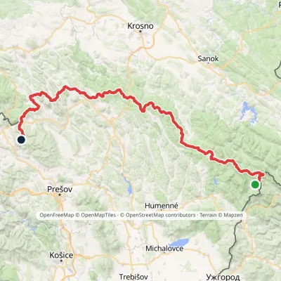 HardMulti-dayMarkedVýchodokarpatská magistrálaElevation profile390–1 209 m213.5 kmascent 7 991 m3.7 km from the centre
 HardMulti-dayMarkedMain Trail of BeskidyElevation profile309–1 723 m499.9 kmascent 19 519 m4.6 km from the centre
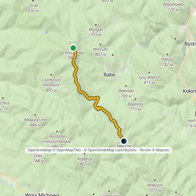 EasyOne-dayMarkedTrail to Rabe Tent BaseElevation profile637–998 m7.4 kmascent 361 m≈ 2.5 h walking5.5 km from the centre
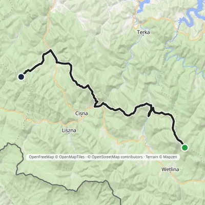 HardMulti-dayMarkedOrłowicz Pass JaworneElevation profile525–1 094 m33.9 kmascent 1 394 m≈ 11.5 h walking5.6 km from the centre
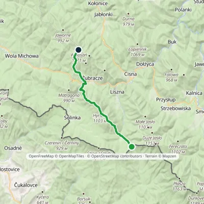 ModerateTwo-dayMarkedPass over Roztoki Wołosańvia Hyrlata, ŻubraczeElevation profile632–1 103 m15.7 kmascent 922 m≈ 6 h walking5.7 km from the centre
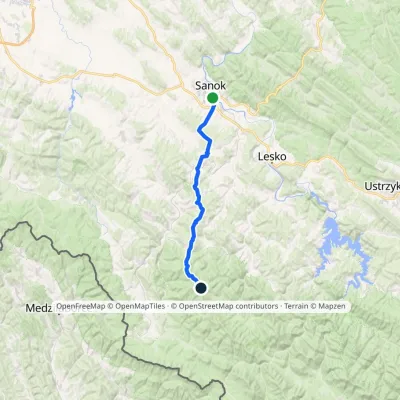 HardMulti-dayMarkedSanok ChryszczataElevation profile291–998 m34.2 kmascent 1 314 m≈ 11 h walking8.5 km from the centre
Peaks nearby
All peaks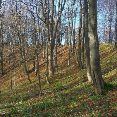 PeakChryszczataRabealtitude 997 m8.5 km from the centreChryszczata (Ukrainian: Khreshchata) is a forested massif and summit of 997 m in the Western Bieszczady, in the Wołosań range, also called Wysoki Dział.
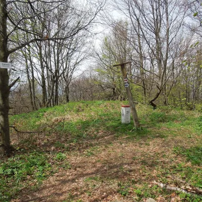 PeakCzerenin (Černiny)Solinkaaltitude 929 m9.7 km from the centreCzerenin (also Czeremin; Slovak: Černiny) is a 929 m mountain in the border (watershed) range of the Western Bieszczady, on the Polish–Slovak border.
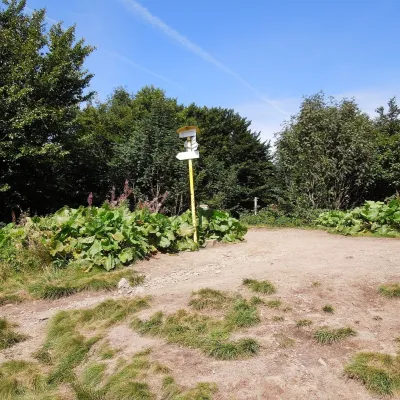 PeakOkrąglikStrzebowiskaaltitude 1 101 m17 km from the centreOkrąglik (Slovak Kruhliak) is a summit about 1,101 m high in the border range of the Western Bieszczady, on the frontier between Poland and Slovakia (the Slovak part...
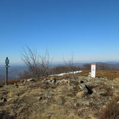 PeakPłaszaWetlinaaltitude 1 163 m22 km from the centrePłasza (Slovak Pľaša) is a 1163 m summit in the Western Bieszczady on the Polish–Slovak border; Slovak geographers place it in the Bukovské vrchy.
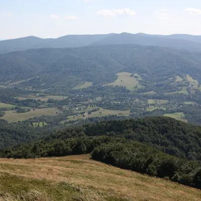 PeakSmerekSmerekaltitude 1 222 m23 km from the centreSmerek (1,222 m, other sources 1,223 m) is a mountain in the Western Bieszczady near the villages of Smerek and Wetlina, about 3.1 km from each.
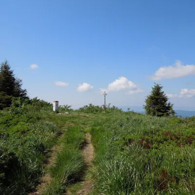 PeakĎurkovecWetlinaaltitude 1 189 m24 km from the centreĎurkovec (Polish Dziurkowiec) is a 1,189 m summit on the border ridge of the Western Bieszczady (the Slovak Bukovské vrchy), on the Polish–Slovak frontier.
What to visit
All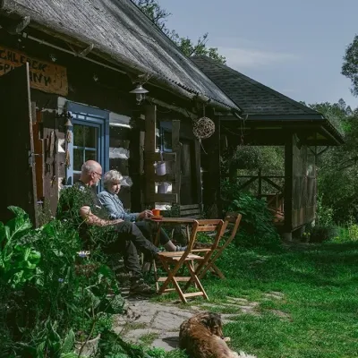 Craft producersBieszczadzkie Smaki, Smolnik: bread, liqueurs, preservesSmolnik4.4 km from the centreBieszczadzkie Smaki (“Bieszczady Flavours”) is a family producer of natural foods in the village of Smolnik on the Osława river, Komańcza municipality, on the western...
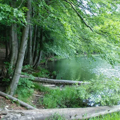 LakeDuszatyn Lakes (Jeziorka Duszatyńskie)Turzańsk9.2 km from the centreThe Duszatyn Lakes (Jeziorka Duszatyńskie) are two small landslide lakes on the western slopes of Chryszczata near the former Lemko village of Duszatyn in the...
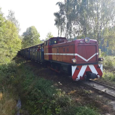 Historic siteBieszczady Forest RailwayLiszna10 km from the centreThe Bieszczady Forest Railway (Bieszczadzka Kolejka Leśna) is a 750 mm narrow-gauge line, the highest-lying narrow-gauge railway in Poland and one of the Bieszczady's...
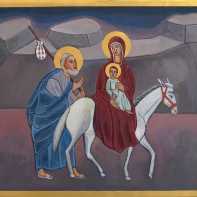 Crafts & workshopsVeraikon Icon Studio, Cisna: Carpathian icons and workshopsCisna12 km from the centreThe Veraikon Icon Studio (Pracownia Ikon Veraikon) in Cisna is, in its owners' words, the oldest and largest icon studio in the Bieszczady.
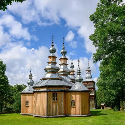 ChurchChurch of St Michael the Archangel in TurzańskTurzańsk16 km from the centreThe Church of St Michael the Archangel in Turzańsk is a wooden church in the Osława valley, south of Lesko and Zagórz, on the border between Lemko and Boyko lands.
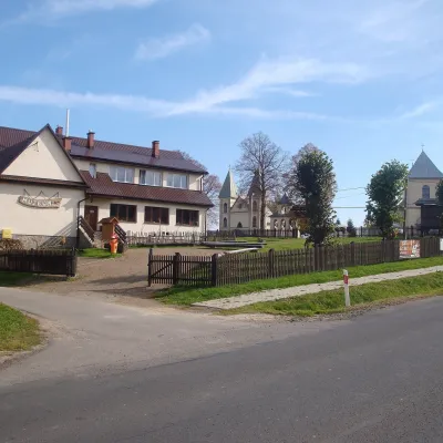 MuseumBoyko Museum in MyczkówMyczków24 km from the centreThe Municipal Museum of the Spiritual and Material Culture of the Boykos (Gminne Muzeum Kultury Duchowej i Materialnej Bojków) is in the village of Myczków on the San...
Huts, shelters and springs nearby
Getting there from Ukraine
Border crossings
- Krakovets – Korczowa — road, 24/7
- Shehyni – Medyka — road, 24/7 Pedestrian crossing is not confirmed by the Ukrainian border service — check dpsu.gov.ua before the trip.
- Smilnytsia – Krościenko — road, 24/7
- Hrushiv – Budomierz — road, 24/7
- Mostyska – Przemyśl (rail) — rail, 24/7
By car
Lviv – Sanok ≈168 km, ≈3 h 20 min without queues: road to Shehyni → Shehyni – Medyka checkpoint → Przemyśl → DK28 via Bircza to Sanok (≈83 km, ≈1 h 45 min from the border). Alternative via Krakovets – Korczowa: A4 to the Radymno exit, DK77 to Przemyśl and DK28 (≈185 km from Lviv, ≈3 h 25 min). For the Bieszczady proper, Smilnytsia – Krościenko is handier: Lviv – Sambir – Staryi Sambir – border, then DK84 via Ustrzyki Dolne to Sanok (≈203 km, ≈5 h; ≈57 km from the border). From Krościenko to Ustrzyki Górne by DW896 ≈53 km (≈1 h 40 min; ≈200 km and ≈4 h 50 min from Lviv), to Wetlina by DW896 and DW897 ≈69 km (≈216 km and ≈5 h from Lviv). From Sanok: Ustrzyki Górne ≈82 km (DK84 via Lesko, then DW896, ≈1 h 35 min), Wetlina ≈72 km (DK84 to Lesko, DW894 via Baligród and Cisna, DW897, ≈1 h 20 min).
Checked 23.10.2026; border crossing hours and timetables change — check before you travel.
