Tatra County
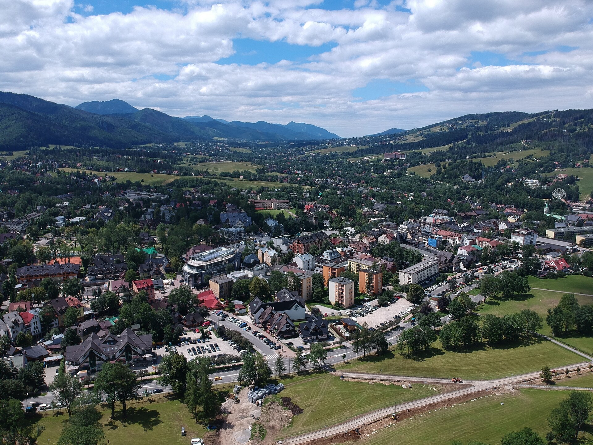
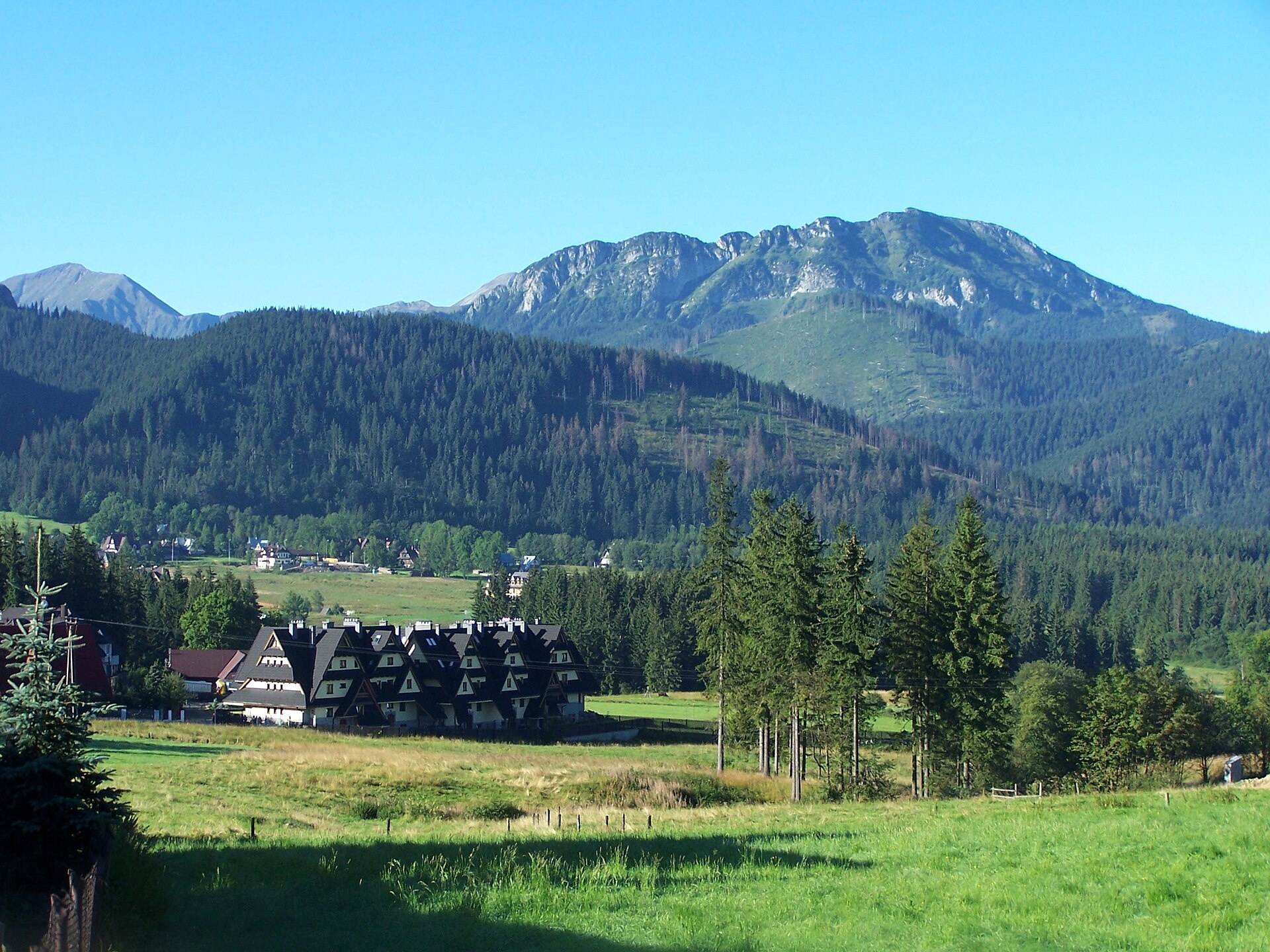
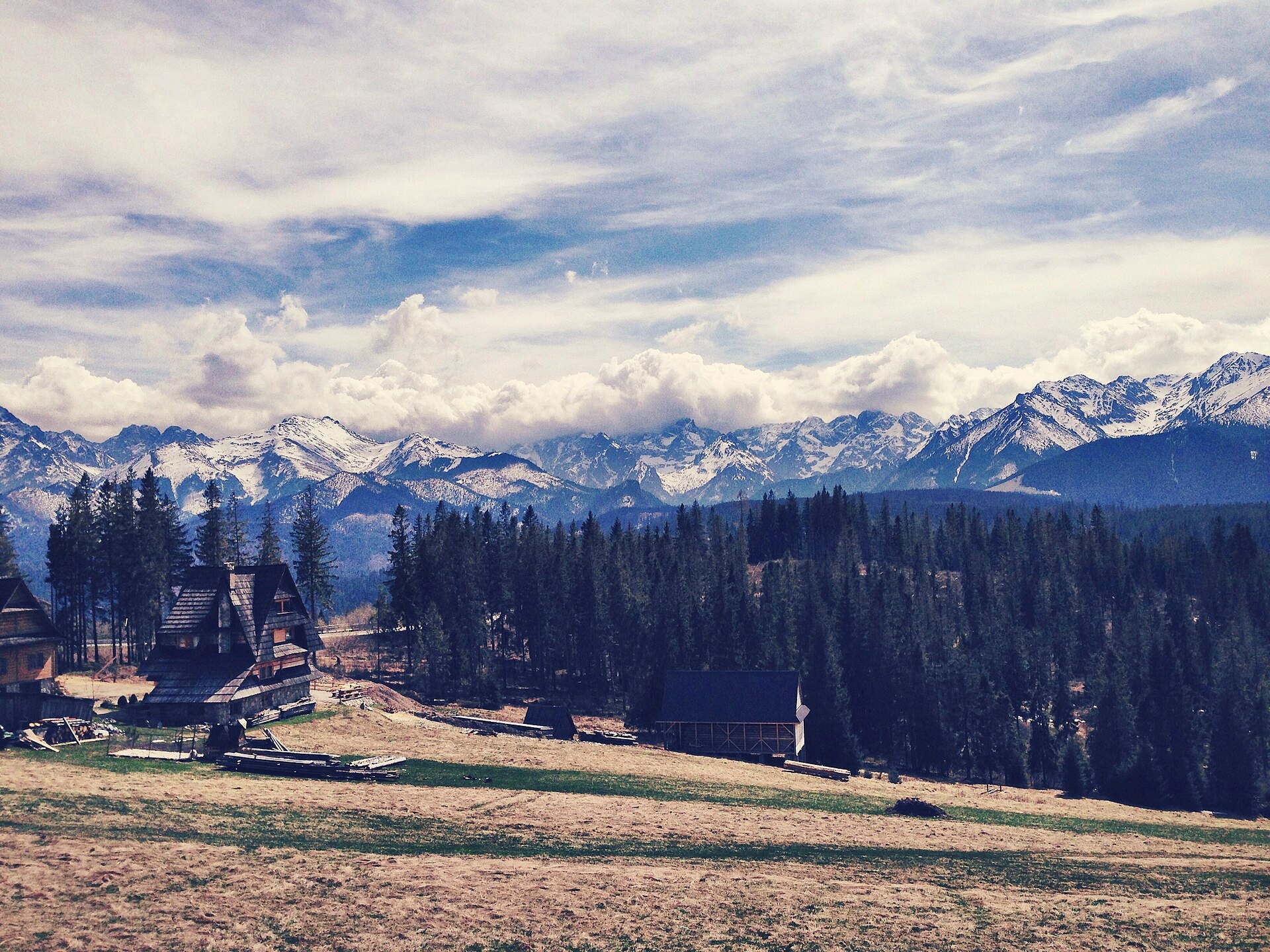
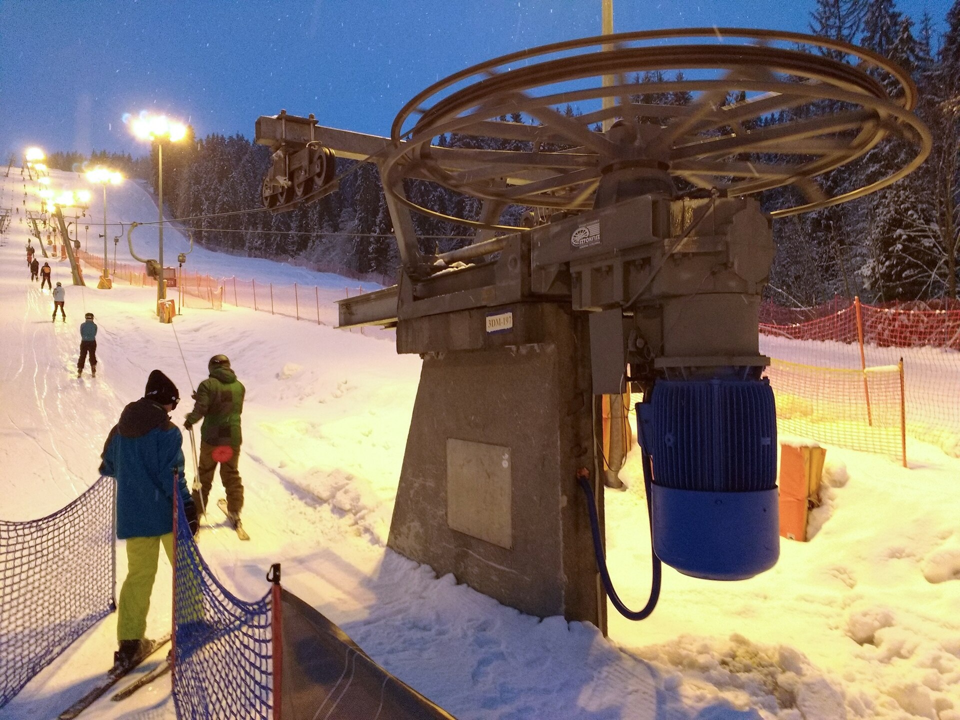
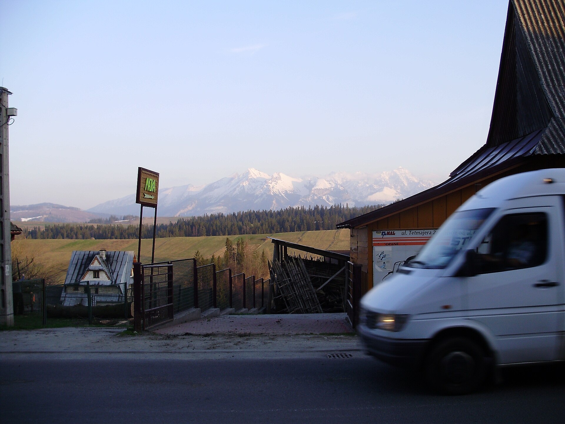
Photos: Zakopane (Maksym Kozlenko, CC BY-SA 4.0); Kościelisko (Jerzy Opioła, CC BY-SA 4.0); Brzegi (Eleonora Borodina, CC BY-SA 3.0 pl); Białka Tatrzańska (Marek Ślusarczyk (Tupungato) Photo gallery, CC BY 3.0); Bukowina Tatrzańska (Ic pomorzanin, Public domain)
Tatra County is an administrative district in the Lesser Poland Voivodeship of southern Poland, located on the border with Slovakia. Its administrative seat and only town is Zakopane. The county was established on January 1, 1999, as part of Poland's administrative reform. It includes the town of Zakopane and the rural gminas of Kościelisko, Biały Dunajec, Bukowina Tatrzańska, and Poronin.
Tatra County is known for its mountainous landscapes, dominated by the Tatra Mountains and the Tatra National Park, which together with the Slovak Tatra National Park forms a UNESCO biosphere reserve. Notable peaks include Giewont, Kasprowy Wierch, and Świnica, as well as scenic valleys and lakes.
On karpaty.rocks, Tatra County features objects in Zakopane, Kościelisko, Małe Ciche, Brzegi, and other villages. There are over 70 trails, 11 peaks, 36 sights, 14 craft locations, 3 thermal spas, and mountain huts such as Schronisko Murowaniec and Schronisko na Polanie Chochołowskiej.
Getting there from Ukraine
Lviv – Zakopane ≈421 km, ≈5 h 10 min without border queues. Route: M-10 Lviv – Krakovets → Krakovets – Korczowa checkpoint → A4 motorway (Rzeszów – Tarnów – Kraków) → Kraków southern bypass → S7/DK7 → DK47 ('Zakopianka') via Nowy Targ → Zakopane. The A4 Katowice – Kraków section (Balice and Mysłowice toll plazas) is tolled, but this route does not use it. In summer and at weekends the DK47 near Zakopane is often congested.
Sources: Wikipedia, Wikidata, OpenStreetMap, Karpaty.rocks data.
Towns and villages
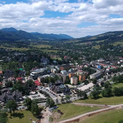 Zakopane34 trails, 7 peaks, 25 sights
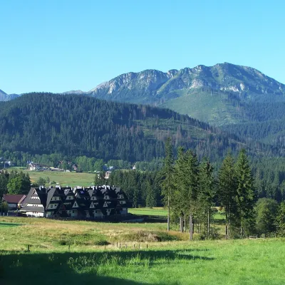 Kościelisko26 trails, 3 peaks, 7 sights
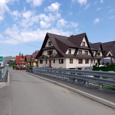 Małe Ciche12 trails, 1 sight, 1 mountain hut or shelter
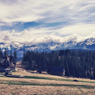 Brzegi8 trails, 1 sight, 2 craft places
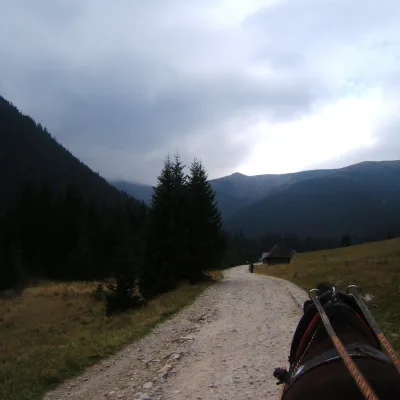 Witów2 trails, 1 peak
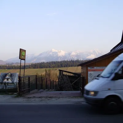 Bukowina Tatrzańska1 craft place, 1 spa or thermal pool
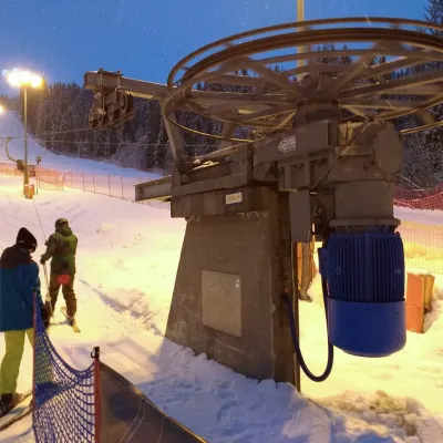 Białka Tatrzańska1 spa or thermal pool
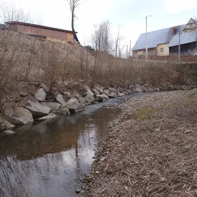 Dzianisz1 trail
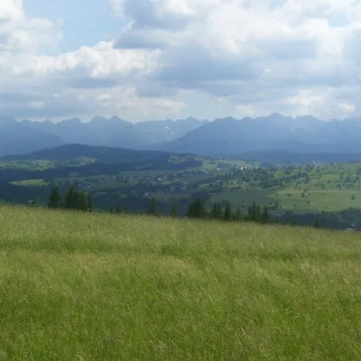 Czarna Góra1 sight
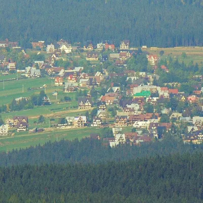 Murzasichle1 trail
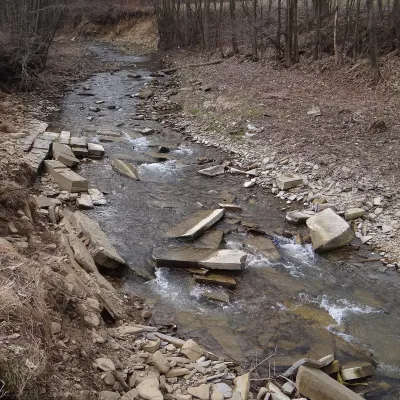 Nowe Bystre1 trail
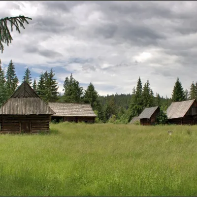 Jurgów1 sight
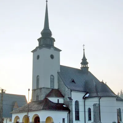 Biały Dunajec
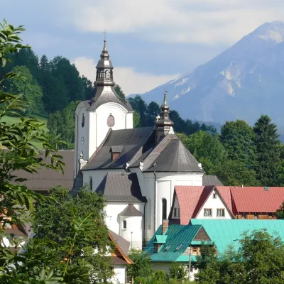 PoroninZąbSucheRzepiska
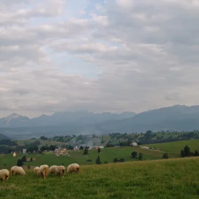 Sierockie
Getting there from Ukraine
Border crossings
- Krakovets – Korczowa — road, 24/7
- Shehyni – Medyka — road, 24/7 Pedestrian crossing is not confirmed by the Ukrainian border service — check dpsu.gov.ua before the trip.
- Smilnytsia – Krościenko — road, 24/7
- Hrushiv – Budomierz — road, 24/7
- Mostyska – Przemyśl (rail) — rail, 24/7
By car
Lviv – Zakopane ≈421 km, ≈5 h 10 min without border queues. Route: M-10 Lviv – Krakovets → Krakovets – Korczowa checkpoint → A4 motorway (Rzeszów – Tarnów – Kraków) → Kraków southern bypass → S7/DK7 → DK47 ('Zakopianka') via Nowy Targ → Zakopane. The A4 Katowice – Kraków section (Balice and Mysłowice toll plazas) is tolled, but this route does not use it. In summer and at weekends the DK47 near Zakopane is often congested.
Checked 23.10.2026; border crossing hours and timetables change — check before you travel.
