Câinenii Mici
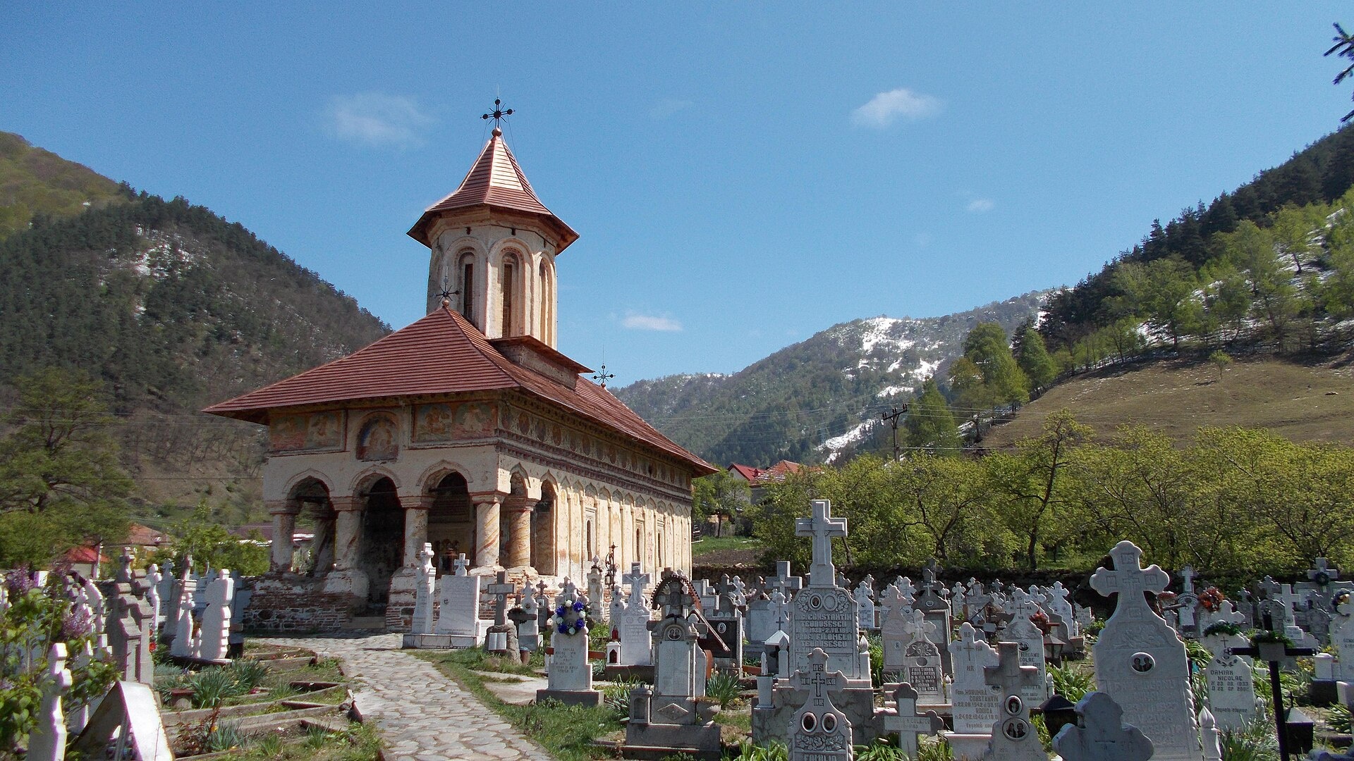
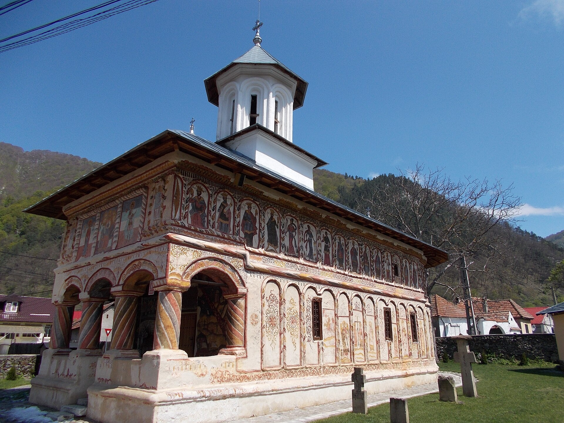
Photos: Nicu Farcaș, CC BY-SA 4.0 (Wikimedia Commons); Câinenii Mici: the Church of the Holy Voivodes — Nicu Farcaș, CC BY-SA 4.0 (Wikimedia Commons)
Câinenii Mici is a village in Romania.
Elevation: about 389 m above sea level. Population: 664 (2021). Mountains nearby: Făgăraș Mountains.
Here and nearby on the site: 1 trail.
Facts: Wikidata, OpenStreetMap. More on Wikipedia
What's nearby
Trails nearby
All trails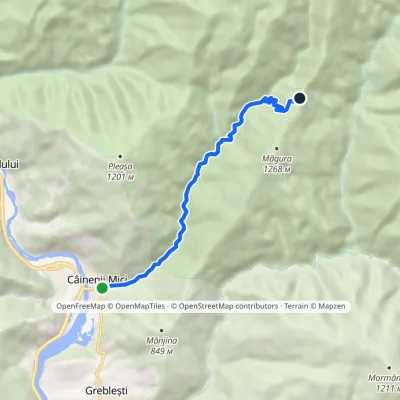 ModerateOne-dayMarkedCâinenii Mici Plaiul GrebleștiElevation profile350–1 076 m7.8 kmascent 726 m≈ 3.5 h walkingunder 1 km from the centre
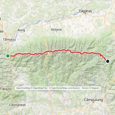 HardMulti-dayMarkedFăgăraș main ridge: Olt Valley Tămașului SaddleElevation profile358–2 525 m93.1 kmascent 6 545 m8 km from the centre
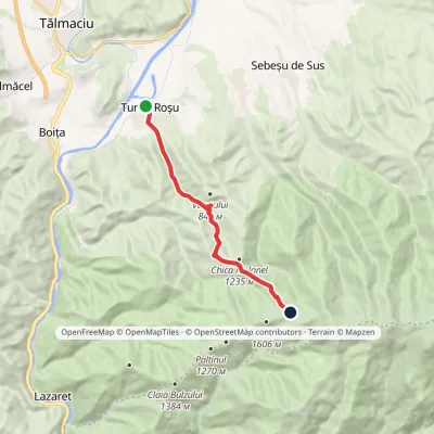 ModerateOne-dayMarkedTurnu Roșu station Corbului SaddleElevation profile369–1 566 m9.5 kmascent 1 197 m≈ 5 h walking11 km from the centre
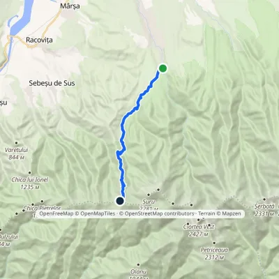 ModerateOne-dayMarkedAvrig Valley Făgăraș main ridgevia Suru HutElevation profile553–1 945 m12.6 kmascent 1 390 m≈ 6 h walking13 km from the centre
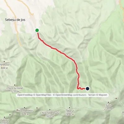 ModerateOne-dayMarkedSebeșu de Sus Suru HutElevation profile494–1 433 m8.2 kmascent 938 m≈ 4 h walking14 km from the centre
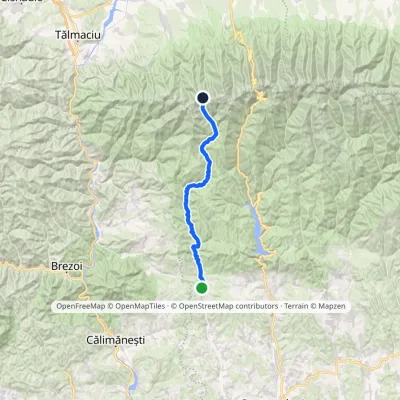 HardMulti-dayMarkedSălătrucu Scării SaddleElevation profile623–2 147 m39.7 kmascent 1 685 m≈ 13.5 h walking14 km from the centre
Peaks nearby
All peaks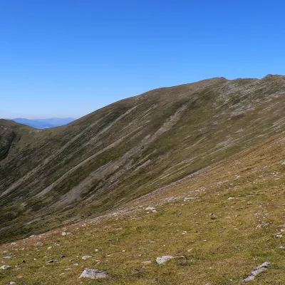 PeakSurualtitude 2 281 m14 km from the centre1 trail to the topSuru (Romanian: Vârful Suru) is a 2,281 m summit in the western part of the Făgăraș Mountains in the Southern Carpathians, in Sibiu County.
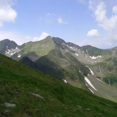 PeakCiorteaaltitude 2 427 m16 km from the centreCiortea (Romanian Muntele Ciortea, German Hohe Scharte, Hungarian Csortea) is a mountain in the western Făgăraș with three close summits, the highest of which, Ciortea...
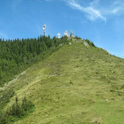 PeakCozia Peak (Ciuha Mare)Drăgăneștialtitude 1 668 m19 km from the centreCozia Peak, also Ciuha Mare (Romanian Vârful Cozia), is the highest summit of the Cozia massif, at 1,668 m, in the central part of the Southern Carpathians in Romania,...
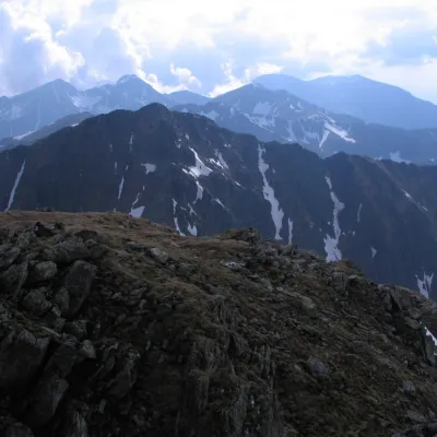 PeakȘerbotaaltitude 2 331 m21 km from the centre2 trails to the topȘerbota (Romanian: Vârful Șerbota, Hungarian: Serbota-csúcs) is a 2,331 m summit on the main ridge of the Făgăraș Mountains in the Southern Carpathians, west of Negoiu...
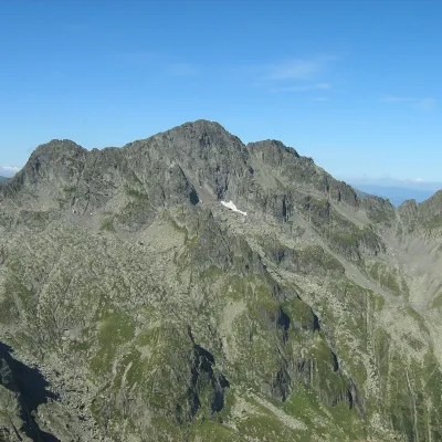 PeakNegoiu Peakaltitude 2 535 m22 km from the centre1 trail to the topNegoiu Peak (Romanian: Vârful Negoiu, Hungarian: Negoj-csúcs) is a 2,535 m summit on the main ridge of the Făgăraș Mountains in the Southern Carpathians.
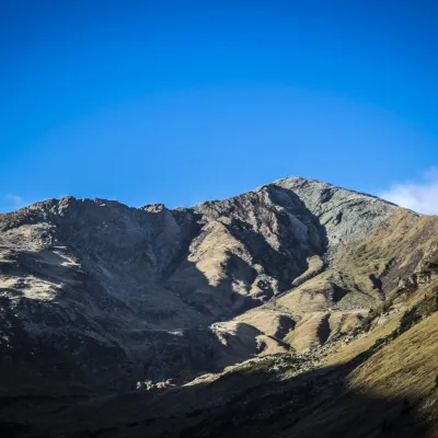 PeakLespezialtitude 2 517 m22 km from the centre1 trail to the topLespezi (Romanian: Vârful Lespezi) is a 2,517 m summit on the main ridge of the Făgăraș Mountains in the Southern Carpathians, in Sibiu County on the border with Argeș.
Huts, shelters and springs nearby
Getting there from Ukraine
Border crossings
- Porubne – Siret — road and pedestrian, 24/7
- Diakivtsi – Racovăț — road and pedestrian, 24/7 No freight traffic.
- Krasnoilsk – Vicovu de Sus — road and pedestrian, 08:00–20:00 Cars up to 3.5 t and pedestrians only; not 24/7.
- Solotvyno – Sighetu Marmației — road and pedestrian, 24/7 Passenger traffic only: vehicles up to 3.5 t with up to 9 seats, pedestrians.
- Diakove – Halmeu — road, 24/7 No pedestrian crossing.
By car
Rakhiv – Sibiu ≈390 km, ≈5 h 33 min (via Solotvyno – Sighetu Marmației); Ivano-Frankivsk – Sibiu ≈524 km, ≈7 h 52 min (via Solotvyno – Sighetu Marmației); Chernivtsi – Sibiu ≈435 km, ≈8 h 00 min (via Diakivtsi – Racovăț). Times without border queues, our road routing (GraphHopper, OSM).
Checked 03.11.2026; border crossing hours and timetables change — check before you travel.
